July 4th, 2026 Salida Zero Day
Today I am hiking zero miles, hence the phrase “zero day.” Although I do walk down the highway a bit in the morning to resupply at Walmart. My shoes are still wet; I washed them yesterday evening, and while they are cleaner, they are not by any means clean. That’s ok. Same with my clothes. While they are clean-ish, they are still not quite the kind of clean one might thing of in off trail life. My socks are still dirt stained. My sun hoodie still has sweat stains in the pits. But they are clean to me, and that’s enough.
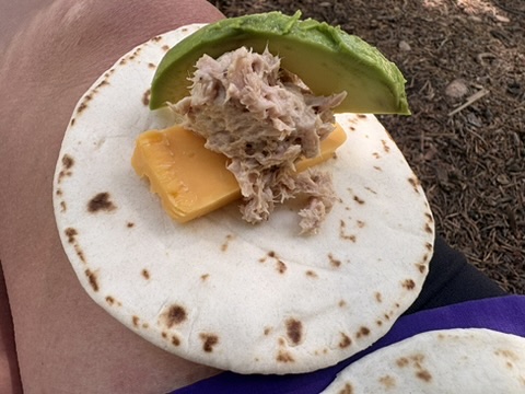
The resupply options in Walmart are meager at best, but I get things I think I’ll eat. Street taco sized tortillas. Cheese and salami, which really is tough to get sick of (although I do manage it later in my hike). I could have tried to find a ride over to Natural Grocers, or Safeway, but those places are on the other side of town, and I don’t feel like expending the energy required to finding a ride there and back. Today is for maximum rest, so here I am. I get some candy, some oatmeal, chips, and noodles. I also get some things to eat other the course of the next 20 hours. I feel like I am fairly successful. I’m walking out of the store and I see Elizabeth, who is also taking a zero day and going in to resupply. I am not the only one who doesn’t want to spend a rest day going far to run errands.
I spend the day napping, eating, updating my Libby loans and getting my Kindle reads squared away for the next stretch. Watching movies. Taking another bath. It’s really great.
July 5th, 2026 CT mile 274.5
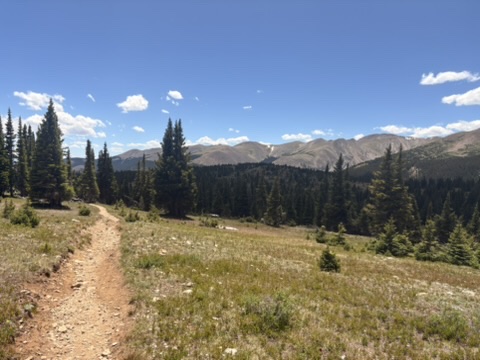
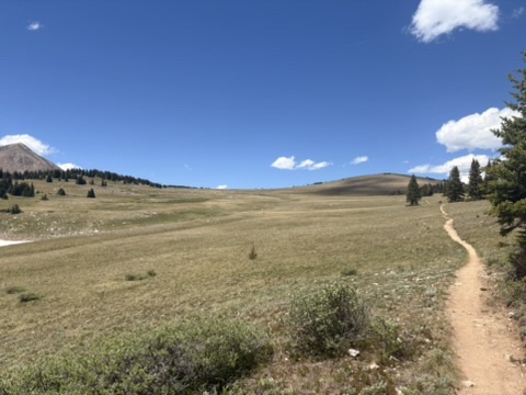
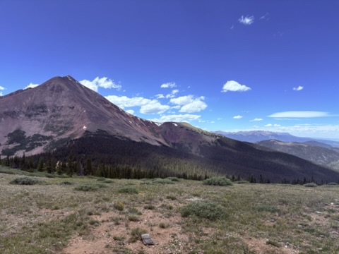
Connie and her dog Jackson pick me up at the front desk just before 7am, which is great because usually shuttle drivers don’t do early times like that. Not Connie. She likes to get out early so she can get a hike in. The smoke is pretty bad down in the valley, but as we climb up higher towards Monarch Pass it gets better. I decided to start at Monarch Pass, and not where I left off at the cutoff to the Butterfly House in the interest of time and miles. This stretch is going to be a long one (five and a half days) and I don’t want to add ten miles on to that. It’s a nice morning, with elevation gain, but it’s graded very nicely so I cruise. Technically, I’m still on the Collegiate West route for another five miles, then the east and west routes join back together. It’s ridge hiking, which is the best, and I happily hike along, listening to my audiobook.
Then I see the plumes of dust, and I hear dirt bikes. And I remember, right, people can ride dirt bikes on this section of trail. And it’s the Sunday after the Fourth of July. The bikers slow down as they see me step off the trail, but clouds of dust soon envelope me. There goes any kind of clean I thought I had.
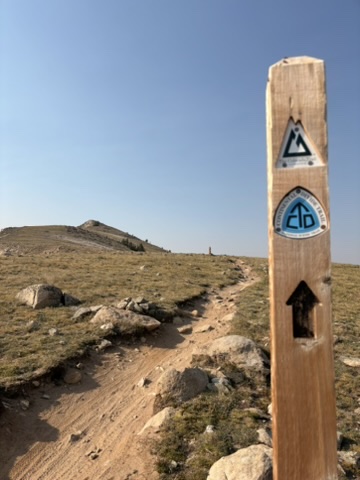
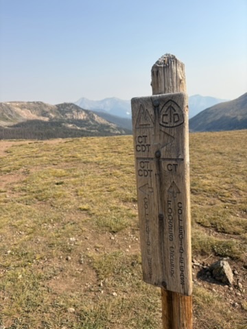
Soon I am at the junction where the two routes join back up. Five miles already! Over the next ten miles I encounter more dirt bikers, and a few CDT hikers hiking NOBO (northbound). I fill up to capacity at a really nice pipe spring, and dry camp in some pines. A good day.
July 6th, 2026 CT mile 292.8 Razor Creek
I’m entering a stretch of trail where water will be scarce for the next 40 miles or so. I hike five miles this morning down to a creek which will be my last water until the end of the day. Which is fine. I meet another hiker and we debate on how much water we need to take. I tend to like to have a lot of water while I hike, especially when I think back to my first day on this trail. I don’t mess around with that.
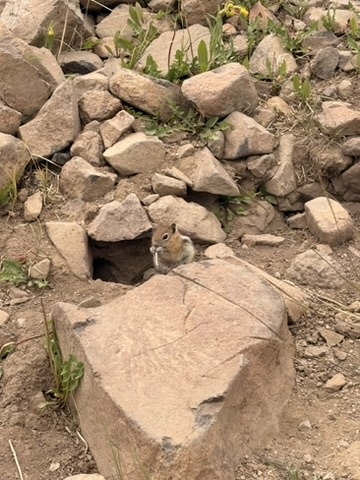
I end up packing out two liters after drinking one liter at the creek. This is the way. I add in my electrolytes and start the climb up towards Sargent’s Mesa. This is known to be an exposed (not much shade) and difficult stretch. As I make my way up I see lots of cows! Cute baby cows! There is a super tiny trickle of a creek but the cows stand in it and it’s not doable. But I’ve got enough to make it to the next source.
In the distance I see a truck parked near the trail. What could this be?
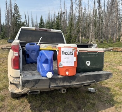
Trail magic! I am stoked. I take off my pack and look in the cooler. There’s ice cold bottles of water. Nice! I sit in the dirt and drink it. It’s so cold it hurts; I take sips of my warm electrolyte water so I don’t get brain freeze. There’s a garbage bag for the empty bottle. People are so nice.
I get up on the mesa and it’s hot, and I’m tired. The trail is rocky, and everything is dusty. There are more dirt bikes. I keep going, because that’s what I do. On these types of days, I am really glad that I have a good audio book to listen to. It really makes all the difference; it pulls me out of my head. When I’m struggling, my thoughts can often go into a downward spiral, and that’s not good. The audio book prevents that.
I pass more CDT hikers, and it seems like everyone is struggling today. I finally begin the descent down to the creek, and at first it’s hard to see. It’s a tiny trickle, but more than enough to fill my water bottles. I find a nice flat spot away from the trail and set up. Some more hikers show up later, but by the time they do it’s almost dark and I am reading my Kindle book on my phone. I feel good, having met my goal in terms of miles. It was a tough day, but I did it. It feels amazing, actually.
July 7th, 2026, CT mile 315
I slept so well last night. I feel fantastic! I pack up early and am hiking before 6am. It’s beautiful out, and not smoky. I ridge hike through some really pretty pine forests and then down to a creek. There’s low flow in the creek but I manage to pick up a couple of liters with my cook pot as a scoop. I approach Highway 114 and see a nobo hiker. We stop and chat for a minute or so. He tells me there’s “like, not really any water for the next 30 miles.” I know this is not true but I don’t argue. It seems like some hikers don’t think small pools of water with a trickle of a flow counts as “water.” It is though. Amateurs.
Some clouds roll in as I get to a trailhead with a pit toilet. This is always nice, but I don’t have a use for it right now which kind of irks me for a moment. Or maybe it’s the dirt bikes. I keep going down a gravel road as it rains a little, which is awesome since it keeps the dust down. With my pack cover on, I don’t put on my rain jacket because it’s kind of nice to have the cooling rain on me. For now anyway.
I get to the creek that will be my water for the rest of the day and for the first half of tomorrow. I’m a little concerned since a jeep drove past me a little but before the source, and that means the water on the road will be muddy. It is. But, I see where the large puddle is fed by a tiny trickle of the remains of the creek, and I am able to scoop up five liters of clear, cold water from a source that other hikers said was not worth it. Patience rewards me. I’m sitting waiting for my Aqua Mira to treat my water, and I see a lone pronghorn on the side of the hill across from the road. Nice! My first (and only) pronghorn of the trail.
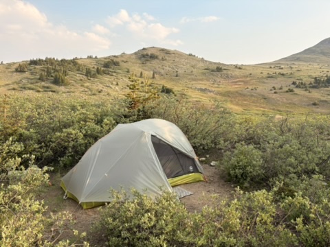
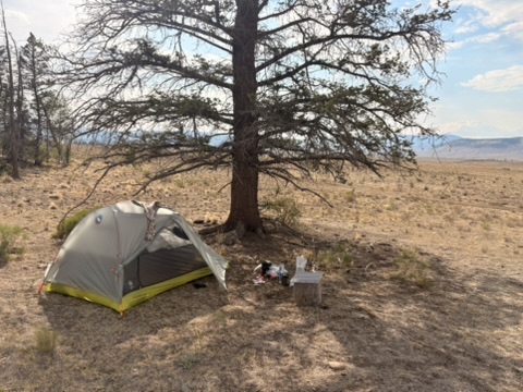
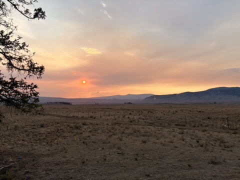
I’m only hiking a couple more miles so I don’t mind the water weight. I find a flat spot to the side of the gravel road/trail, and set up. It’s not ideal, but since I got almost 22 miles in today, I am pleased and ready to stop for the day. Sunset is pretty smoky, but beautiful. I should say that I am at lower elevations for a few days, a stretch known as the Cochetopa Hills. In another day and a half, I’ll begin climbing up into the San Juan mountains, where I’ll hike until I get to Durango. I’ve been looking forward to the San Juans for a long time, back when I was hiking the CDT in 2019. I can’t wait!
July 8th, 2026 CT mile 335 Cochetopa Creek
I woke up early and after a quick oatmeal breakfast, I was packing up. I’ve done this routine so many times over the years, it’s like clockwork. When I was in Salida I upgraded my caffeine pills from 100mg to 200mg. A really solid decision. Soon, I’m cruising down the road/trail, with about 8 or so miles until I reach Cochetopa Creek, my next water source. I’ll be following the creek for the rest of the day, and for the first part of tomorrow. The miles go by quickly, as the terrain is easy and soon I find myself looking down on the creek. I find a spot to rest, refill my water, and eat some snacks. I see beaver sign everywhere; aspen stumps and dams and lodges everywhere. I see large trout in the creek. It’s hot, and hard to find a shady spot but some willows prove to be tall enough to give me a little shade.
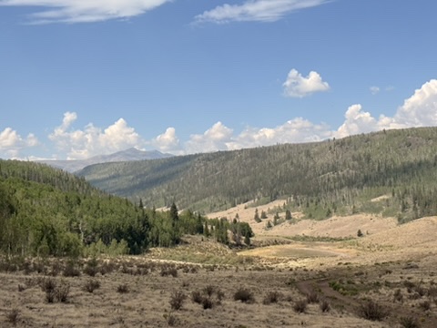
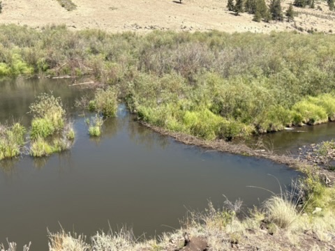
Happy to be hiking next to water, and to be past the section of the trail where water is scarce, I heft my pack (getting very light as my food supply dwindles) and start hiking. Again, the hiking today is pleasant, despite the temperature. I get to a spot where the trail crosses the creek, and I meet two hikers; a couple. They are getting water and eating snacks. I stop for a bit too; I’m making really good time today and I want to take my shoes and socks off and soak them in the creek. So refreshing! It’s also nice to wash the dust off my legs but then I remember I have to reapply sunscreen. Ugh. Next time I hike this trail I am wearing pants, that’s all there is to it. There will be a next time, I know this.
As I make my way further up the valley, I pass what looks like an off-grid dude ranch, but for fishing. I think to myself, I would love to live here. And I would. Really. A bit later I pass a guy who was fishing further up the creek, and I guess that he is staying at the dude fisher ranch. I don’t actually say it out loud, but I can tell. He’s not a backpacker fisher dude. Good for him.
Clouds roll in and it starts to rain, but not that much, just enough to be annoying. It’s the end of the day and I really want to find a flat spot that has creek access. I don’t find it. The trail gets rocky, and I see that the creek is now in a deep, rocky chasm that I cannot get to. Despair! Everything sucks! I pout to myself for about five minutes and then the rain stops, and to my left is a big flat spot next to a large boulder, and creek access beyond. Pouting works, apparently!
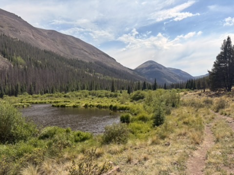
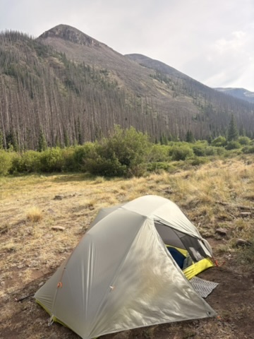
I set up my tent quickly as the rain looks like it’s not done. I get water, wash my legs and feet, and get settled. As I am starting dinner, the couple from earlier walks by. I invite them to join me, as there are plenty of spots for more tents. They opt to keep going, and I wonder how far they will have to hike before they find a spot. I silently wish them luck.
July 9th, 2026 CT mile 352 Snow Mesa Lake
Since I am typing this up using notes I made during my hike, I can say that this day was probably in the top 3 days of awesomeness, awe, and sheer hiking bliss I had on this trail. Of course I did not know this at the time.
I looked at the elevation profile on the Far Out app for today’s hike and was like, “wow.” An Owen Wilson “wow.” I was a lot. Especially if I went the distance to my second goal.
Anyway, it was sunny as I packed up and was hiking before 6am. I knew that I had several passes to hike over today, with the option to bag a 14er (mountain over 14,000 feet) so I wanted an early start. And today is the official day that I hike up into the San Juans, which is very exciting for me. Usually, when I look at the trail map for my day’s hike, I pick out two different areas where I might stop for the day. The first spot I had picked out was near a creek at the bottom of a pass. The second, a spot at Snow Mesa Lake on the other side of two passes. My priority was for tomorrow: I needed to get to Spring Creek Pass at the highway before 11:30 am so I could catch the free shuttle into Lake City. I had to be on that shuttle. So, how far do I hike today and where do I camp to ensure that that happens? It’s some math, for sure.
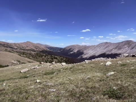
In the meantime, I was hiking through jaw dropping landscapes.
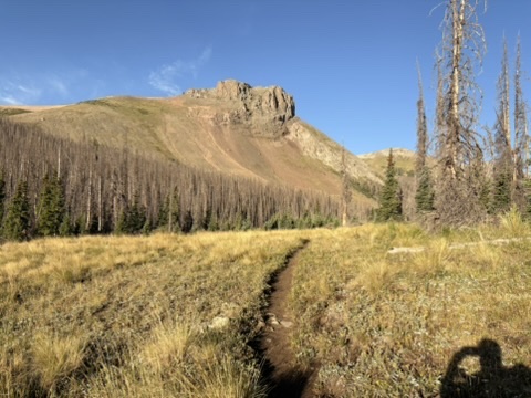
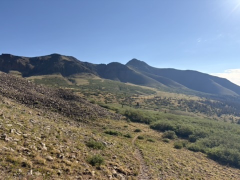
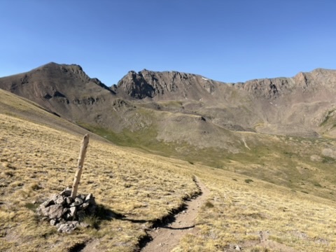
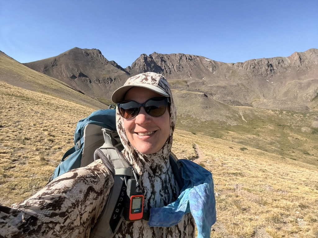
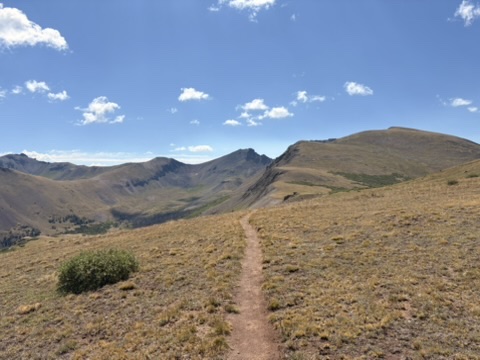
I decided not to climb the 14er, (San Luis Peak) since I was getting enough climbing on the trail, and I wanted to make sure I met at least one of my goals for today, to set me up for a easy day tomorrow morning to the shuttle. Which is fine. All day I was above tree line, cruising over passes, and stopping every so often to just stare at my surroundings. How lucky am I to have this life where I can do these things.
Around 2pm I came to my first goal, and I met some nice folks from the Colorado Trail Foundation, and chatted with them for a bit. People are so kind.
Fueled by sheer awe, I decided to push on to Snow Mesa Lake. I was not disappointed. Grand views of the geological wonders of the San Juans surrounded me, and wide open expanses of tundra ridge lines opened up at every reveal.
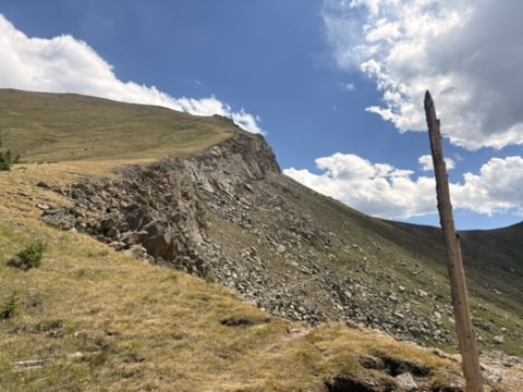
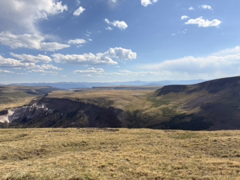
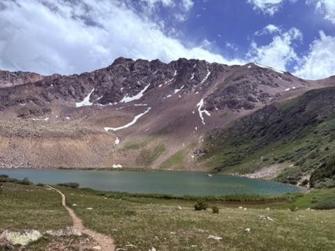
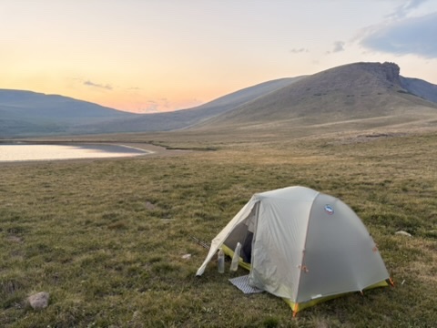
I got up on Snow Mesa and felt like I was in the Scottish Highlands. Not that I know what the Scottish Highlands are like but I’ve seen Outlander. I know. The trail descended down from a ridge onto the mesa, and there was the lake. The elevation at the lake is 12,300 feet, which I think is the highest I’ve camped so far. Maybe? Probably.
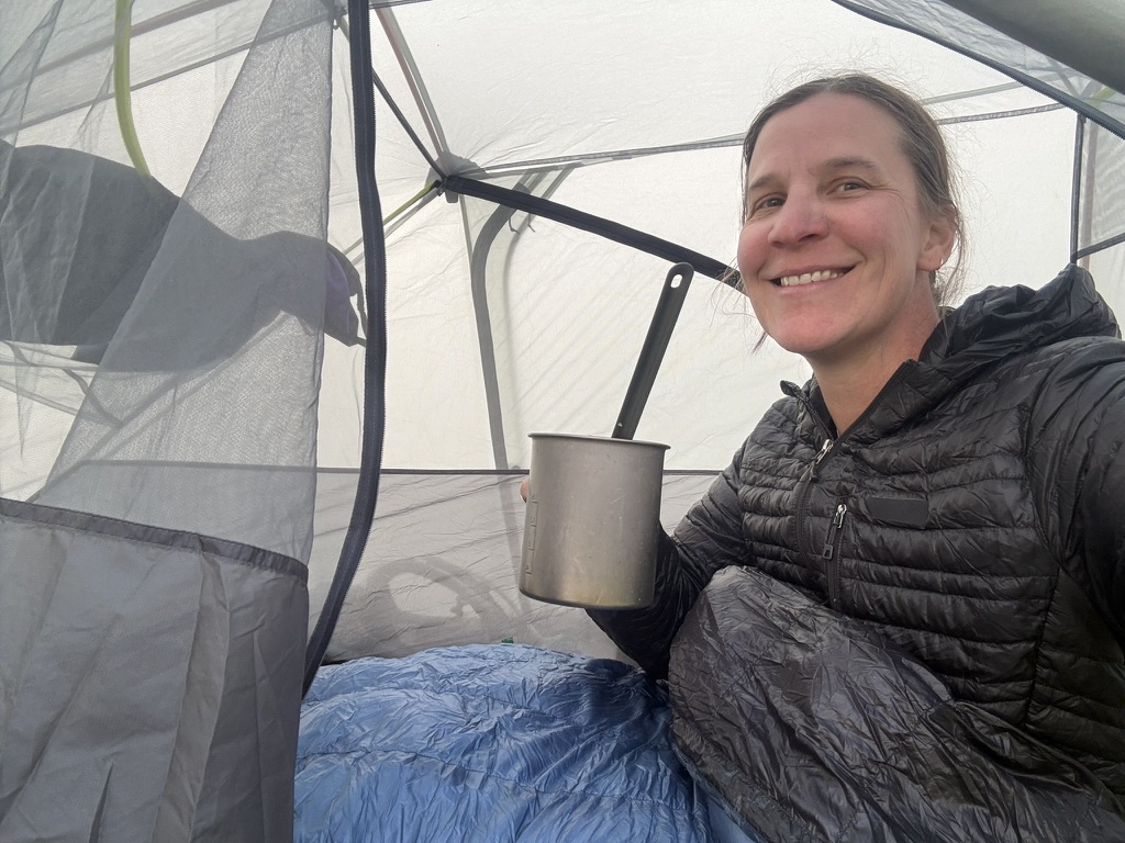
It’s cold though and I make my ramen and eat dinner in my tent. I’m so happy because I made my second goal, and pushed myself hard and loved it. A truly great day.
July 10th, 2026 CT mile 357 Lake City
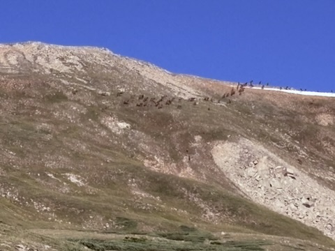
I slept in until 6:15 this morning since I have only 5 flat and downhill miles to hike until Spring Creek Pass and the highway. Plenty of time to make the shuttle. My tent is covered in frost; it was cold last night but I was cozy in my tent. I took my time packing up and by 7am I was cruising down the trail. This little 3.5 mile stretch on top of the mesa is another iconic view; you see photos of this stretch in guide books. The trail plays out in a straight line, over dips in the mesa. I saw a herd of elk to my right up on a ridge. More to the left of the trail. They were far away.
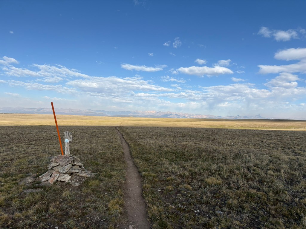
A hiker passed me and I stopped to call my mom. Whenever I get a signal I try to call her. Just to share the moments.
I began my descent down off the mesa to the highway and the trailhead. I got there around 9:30; plenty of time to hang out, dry my tent, and use the pit toilet. I chatted with the hiker from earlier, and soon more hikers showed up; most of them I had seen the day before. Elizabeth and Brittany hiked up; it’s nice to see them. They’re staying at the hostel in town; I’ll try to get a bunk there once we get there.
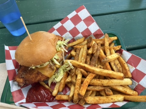
Soon the shuttle arrives and there are too many hikers to fit. No worries, another shuttle should arrive shortly. Wow! These folks are organized! About a half hour later we get to the Trail Hiker’s Center in Lake City and we get the tour. Lots of resources for hikers. Outlets to charge electronics, hiker boxes of food and other items, half empty fuel canisters, a bathroom, and if you leave your dirty laundry, they’ll have it back by 9am the following morning. I was able to secure a bunk and the hostel, and they have laundry, so I can take care of that later. It’s nice to sit, drink water, and relax. Then a group of us head down to grab a burger. We all get pretty much the same thing: bacon avocado cheeseburger with fries. Hits the spot.
I make my way up to the hostel and check in. Get my laundry started. I walk over to the grocery store to get my resupply. It’s a small store but they have things that hikers like, and I am not disappointed. I see the bakery, and know that that is where I’ll go for breakfast.
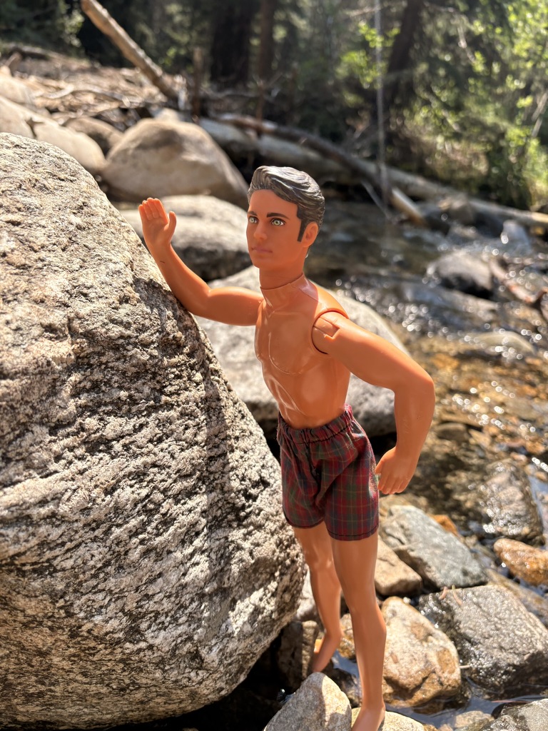
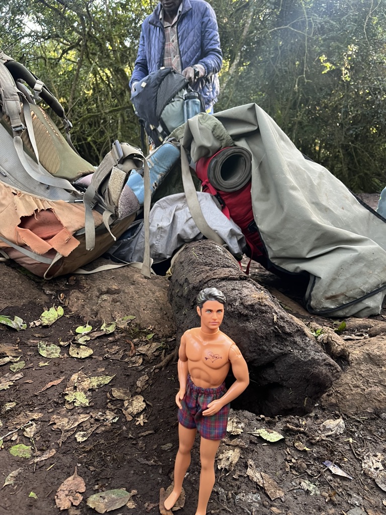
I take a long shower, and, as I have done so many times on long hikes, marvel at the amount of dirt that comes off my body. With laundry done, I decide to still wear my loaner clothes from the Hiker Center to dinner. What I call my “man shorts.” I like them!
I walk back to the hostel after dinner with some other hikers, and realize I am exhausted. Town days are almost always busy. Lots of chores that need to be done.
I put my earplugs in as I go to bed, and end up sleeping pretty well.
July 11th, 2026 CT mile 366.8
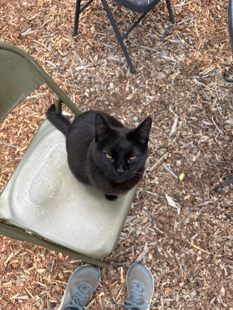
I walk over to the bakery and get a pastry, a bagel breakfast sandwich, some coffee, and some other random treats to pack out. I sit on the deck of the hostel and eat. Drink coffee. Nice to have coffee and not a caffeine pill today. I make my way over to the Trail Hikers Center and sit with a couple of hikers, chatting and organizing my stuff. A black cat rolls up and of course I have to give her some pets.
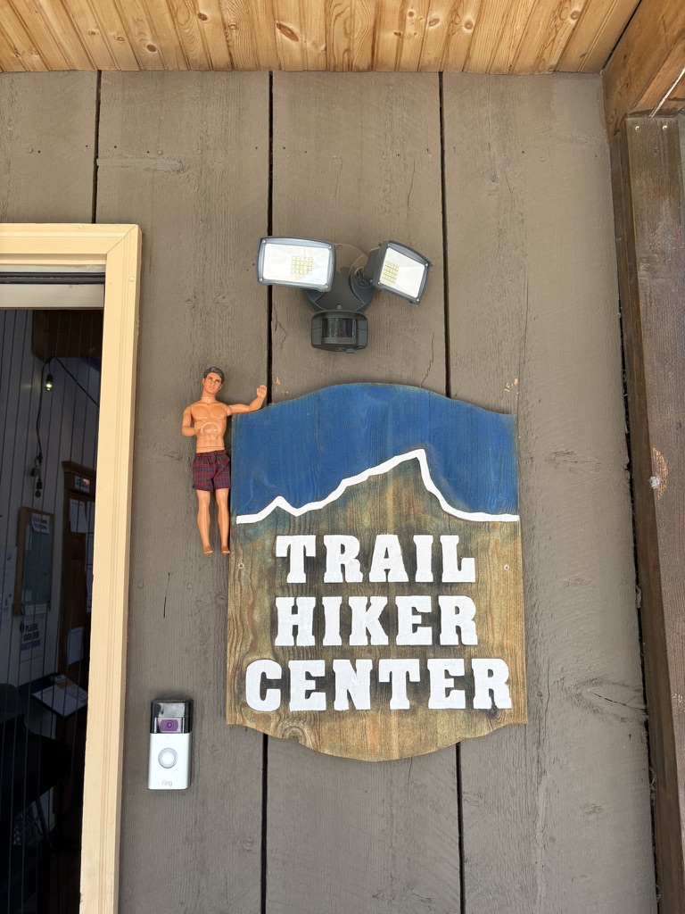
Around 10:45 it’s time to load up and head back to the trail. I’m only planning on doing 9 or so miles from Spring Creek Pass (CT mile 357). I’m looking forward to this three day stretch of trail; I’ll be in the heart of the San Juans for some stunning scenery and I can’t wait.
I get to my water source about a half mile from the spot I plan on camping, so I camel up 5 liters to take for the rest of the day and the first 9 miles of hiking tomorrow. The water is clear and very cold; my favorite! Everyone’s favorite, really.
I set up my tent in a large flat area with small trees for windbreaks. It’s a good night of sleep.
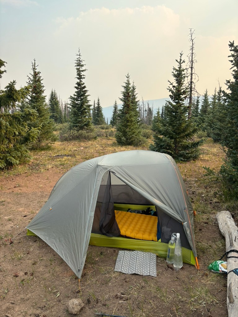
July 12th, 2026 CT mile 380.7
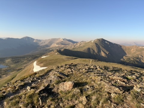
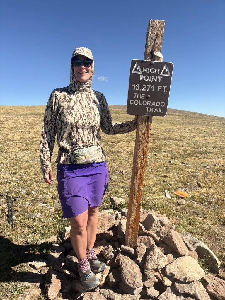
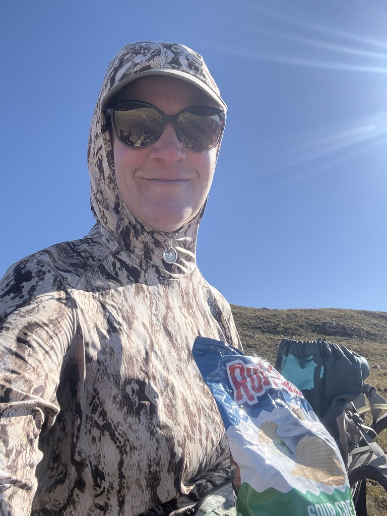
Today was epic. Epic in that I was exhausted, and every incline was so much work. Also epic because the views, the views, the views. And I hit the high point on the trail! 13, 271 feet. I hiked in awe all morning; the smoke had cleared a bit and the “wow” factor was off the charts.
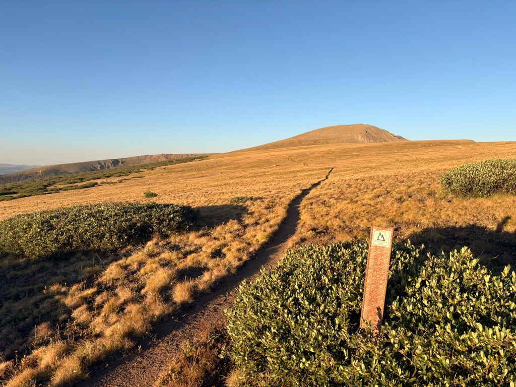
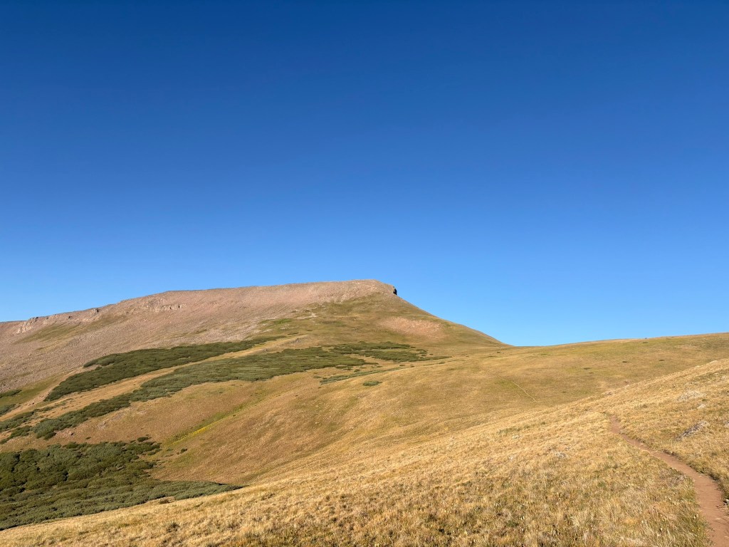
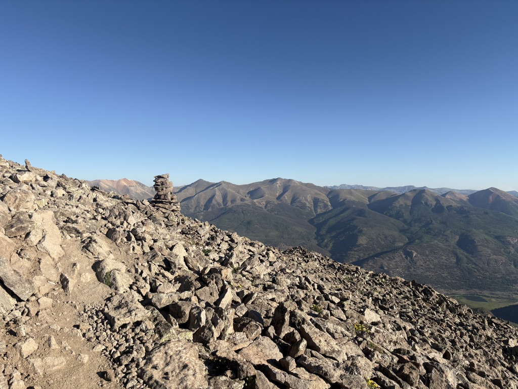
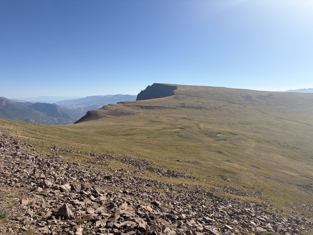
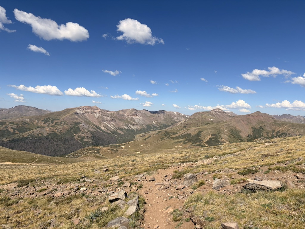
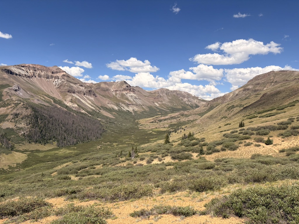
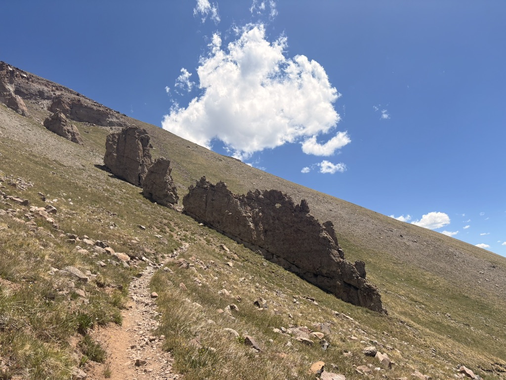
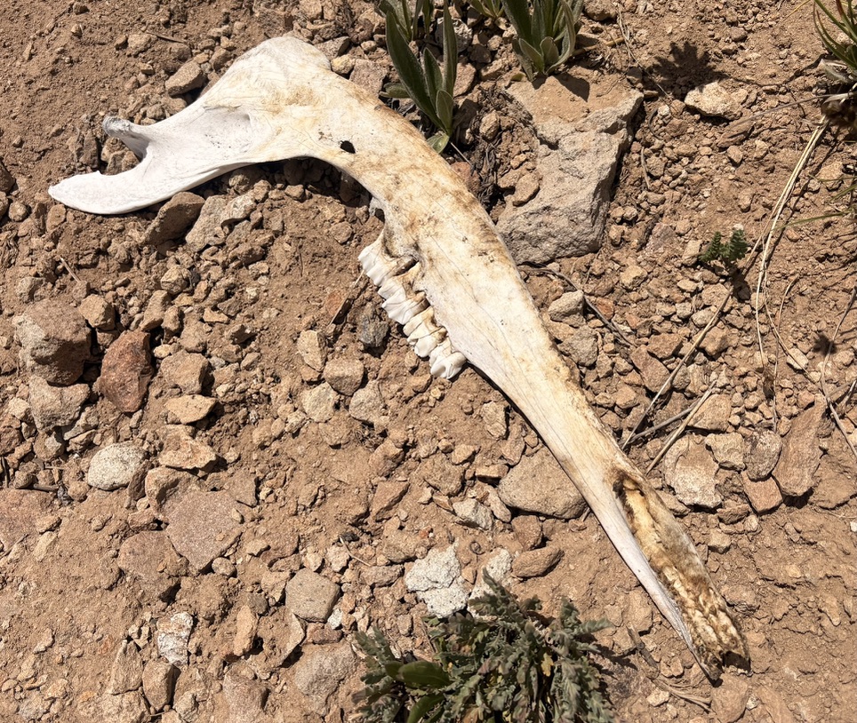
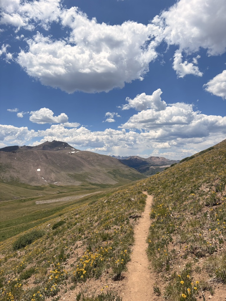
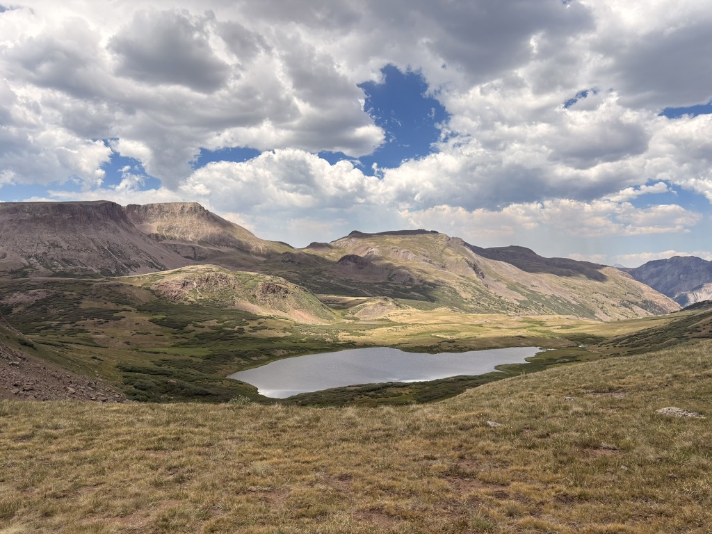
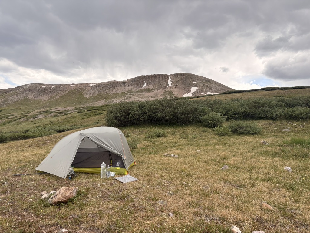
I was hoping to make it over one more pass, but around 3:30 I stopped at a creek for water and saw a perfect place to set up my tent. So that’s what I did.
I woke up around 1am to go pee. The sky was so clear, I could see so much of the Milky Way. I regret that I did not take any night photos on this trip. Next time. As I was gawking at the sky, I could see flashes of lightning in the far distance. Even though the sky was completely clear where I was, not too far away there was a thunder storm. So cool.
July 13th, 2026 CT mile 395.7
What a day. I keep saying that. What else can I say?
I woke up from a much needed, deep rest and was hiking before 6am. I made the rise at the pass above my campsite and saw another huge expanse of ridges and mountains that were hidden from me yesterday. A large herd of elk in a basin below me. I’m always on the lookout for moose because moose are just so cool. Like, how are moose even moose? I think about this as I watch the elk, thinking, “I bet they wish they were moose. I know I do.”
Yeah, things get a little weird out on the trail.
My goal for today is a little lake up on a mesa. Then, tomorrow, it’s a nine mile downhill to catch the train into Silverton. Yes, a train. An old fashioned steam train. It’s a tourist thing that goes from Durango to Silverton and back. Silverton is an old mining town turned tourist/old west town. Which suits me just fine. It’s also my last resupply on the trail. Wow.
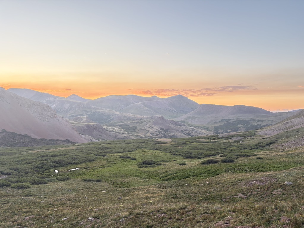
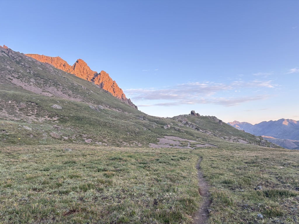
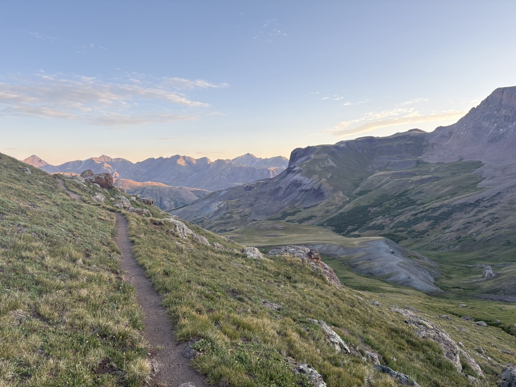
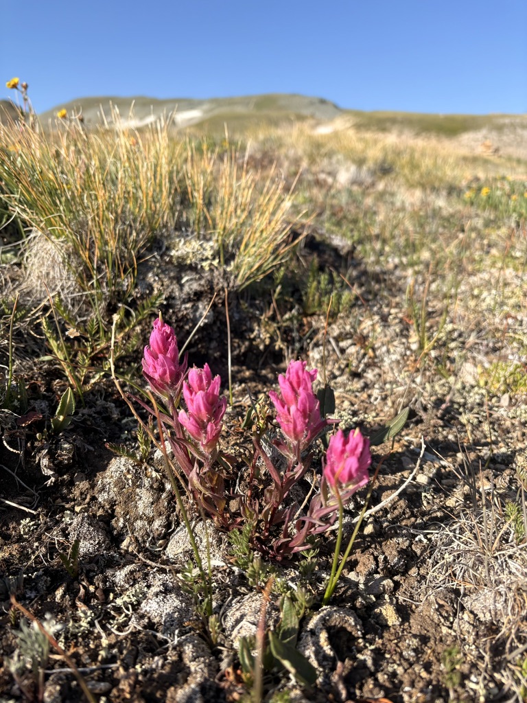
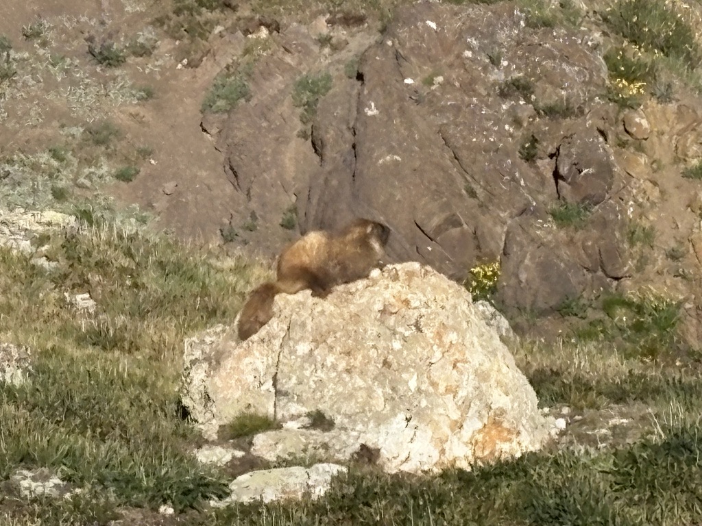
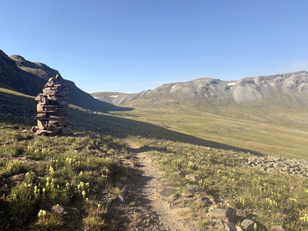
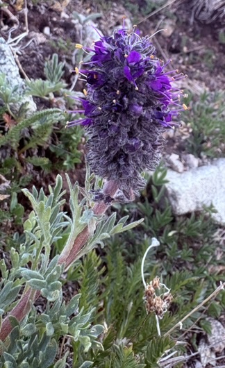
I spend the day going up and down passes. Gawking at the scenery, stopping to watch elk and marmots, and eating my dwindling snack supply. I see more ptarmigan, they are right by the trail and blend into the landscape perfectly. Wildflowers are booing right now; ridges covered in yellow, pink, purple, and white blooms. At one point, as I head to the Stony Pass Road and Continental Divide, I fill my water bottle with headwaters of the Rio Grande. Pretty cool to look up the ridge and see where that river originates.
After the Rio Grande, I traverse a ridge of wildflowers and and am again standing in the middle of the trail staring at the scenery. What am I even, in this world where mountains and wildlife are so spectacular.
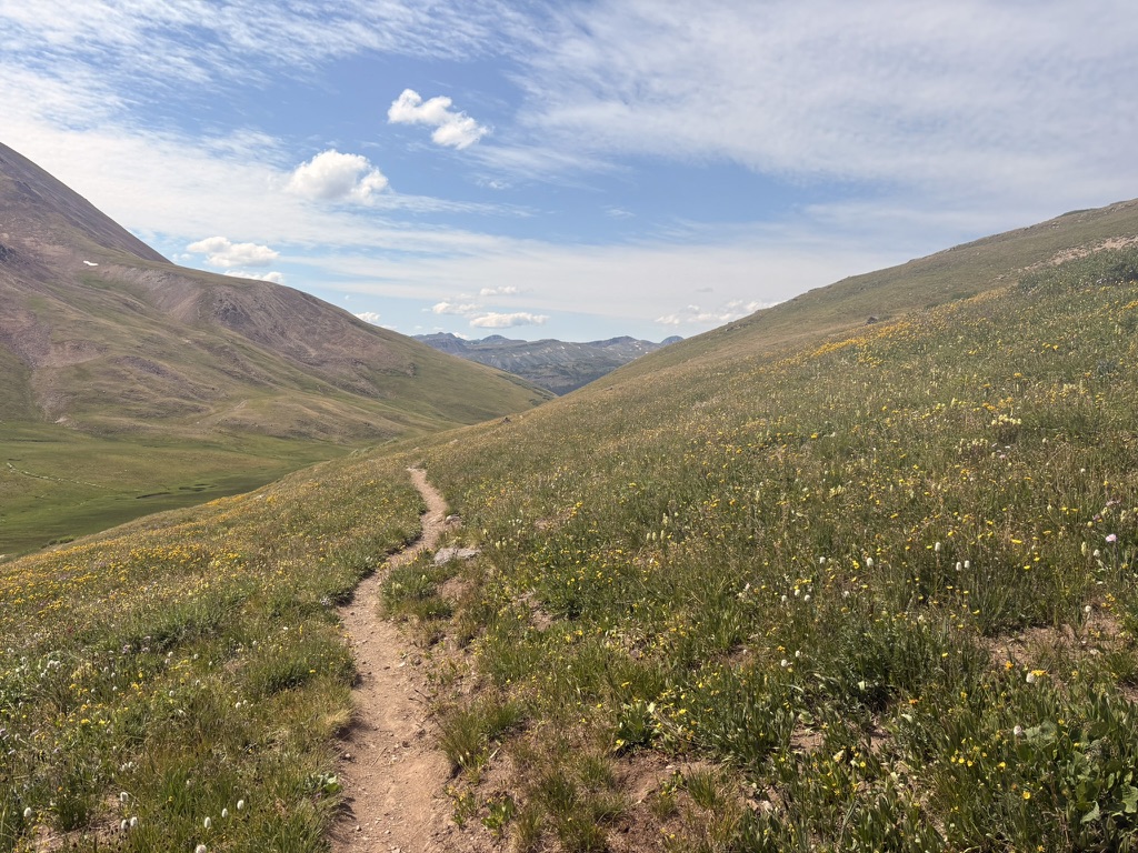
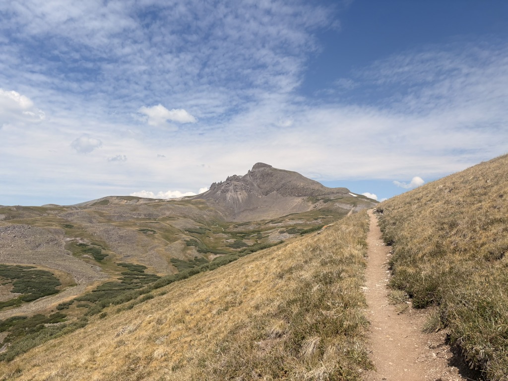
Then, as I approach the Divide, I’m hiking through Mordor and the clouds roll in. Huge rock formations dominate the sides of mountains, and the unnamed mountain to the south of Stony Road Pass seems to have blue in it. What?!!!!
I see a waterfall and also see that the trail does not go near it and I see no way to get to it off trail and this makes me sad for about an hour. Maybe a half hour. Or is it the clouds? Mordor? Tough to tell.
I feel like I’m hiking out of Mordor, which is good, and I climb another pass. This is probably a good time to share that at this point in the trail I’m averaging about 4,500 feet of gain a day. Maybe less, maybe more. Today is probably about that.
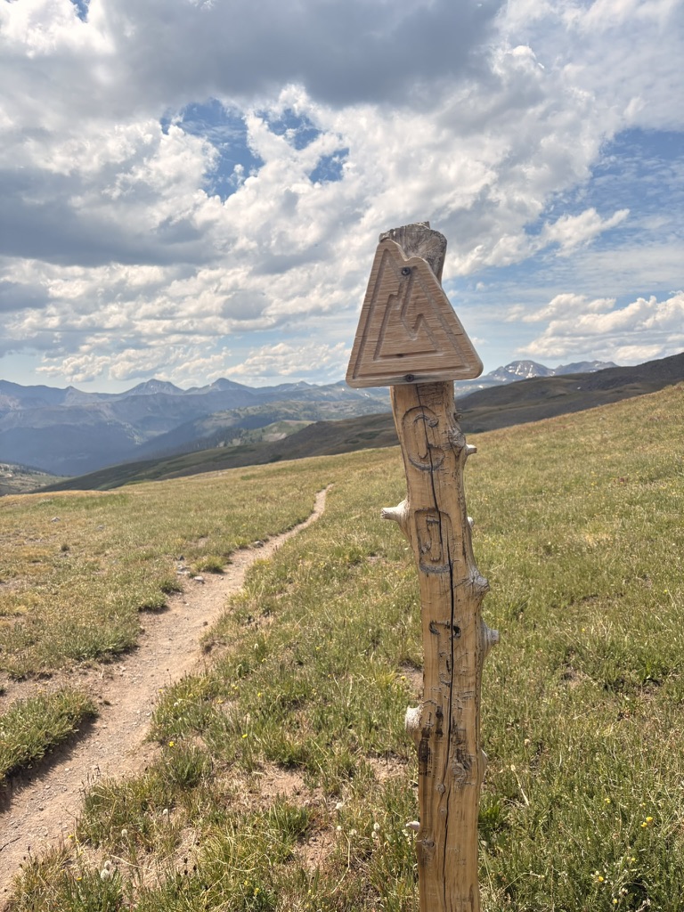
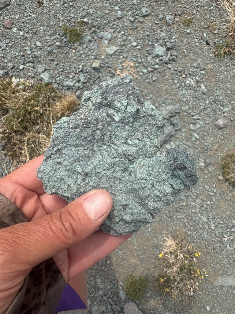
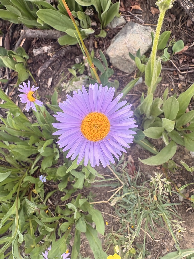
It’s at the point in the day where I’m looking forward to stopping. I hike down into a valley, and start my last incline of the day onto the mesa. I stop and put on my rain gear just as some locals with dogs run down the trail. They are really happy people and I realize that my grumpy mood has worn off and I am excited to get up onto the mesa. This is how it is, hiking long distance. Emotions are big and they come and go at will. Also, I am starting to feel really depleted, no matter how much I sleep or eat.
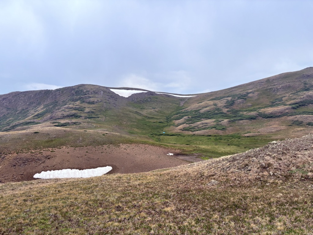
I get up on the mesa and come across a trail junction. In the far distance, on the other side of a gully, I see a tiny blue speck of a tent. Who is camping there? So far off trail? What are they doing? I snap a photo and wonder about it for awhile.
Another hiker with a dog catches up with me. I met him awhile back, and I see him and his cute dog from time to time. Today, they are planning on camping a couple of miles past me. It’s nice to hike for a bit and chat trail. Then, on the side of the trail is a ptarmigan with babies!! Sage, the dog, stops and is perfectly still. MG clips her leash on just as she tries to rush the birds. Fortunately. Personally, I would never backpack with a dog for this very reason; scaring wildlife. But, I’m not a dog owner, so I don’t spend a lot of time worrying about that kind of thing.
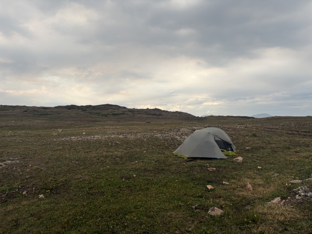
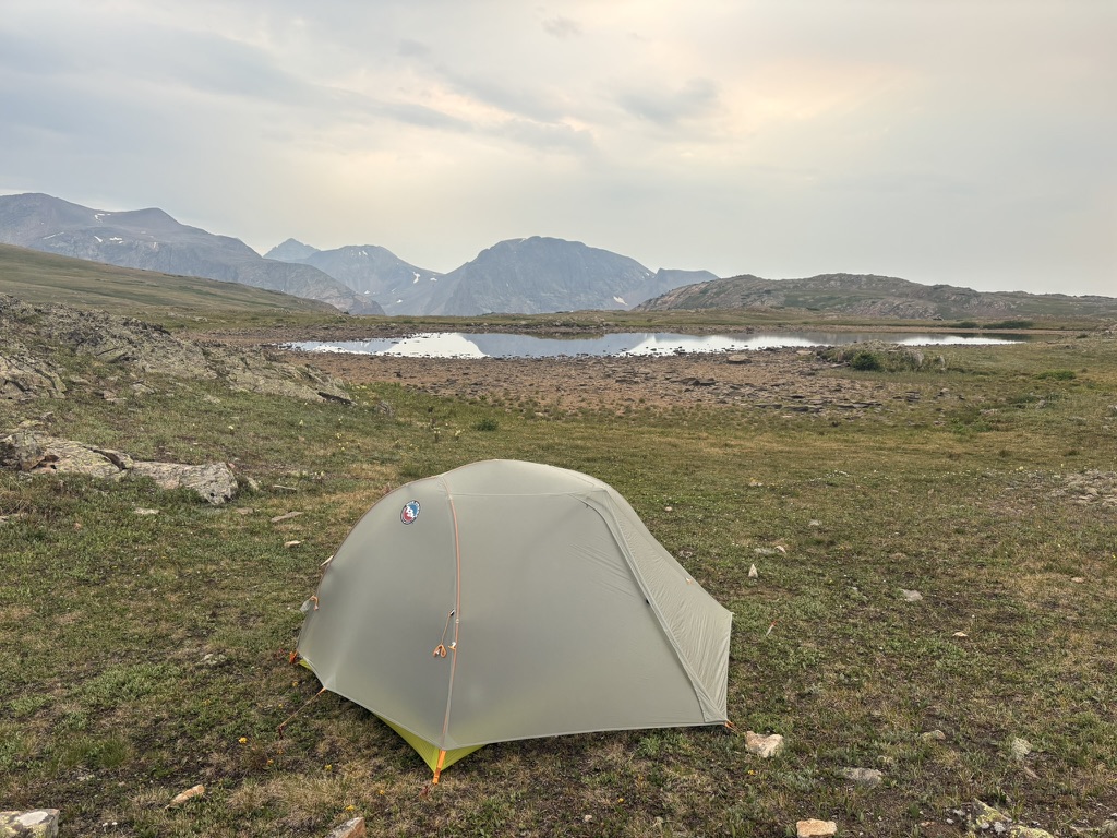
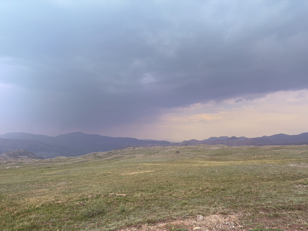
I see my lake and say goodbye to MG and Sage. It looks like it’s going to start raining so I set up my tent fast and get settled. Sure enough, just as I get my ramen ready, it starts raining. I hear a couple of hikers setting up near me. It’s nice to have other hikers nearby for the night. I start my last audio book, Lonesome Dove, and rest before calling it a night.
July 14th, 2026 CT mile 405 Silverton
I packed up early and was hiking across the mesa around 6am. Plenty of time to get to the train stop but also I was just excited to get going. And it paid off. I saw a couple of coyotes and a large herd of elk in the first five minutes. So cool!
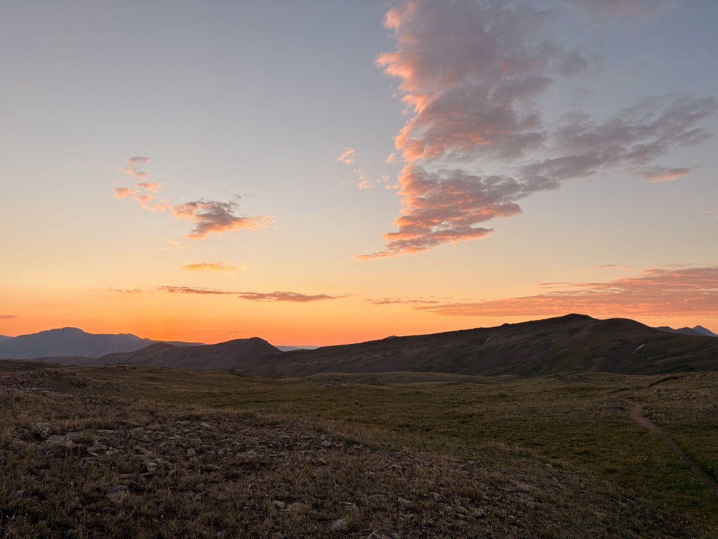
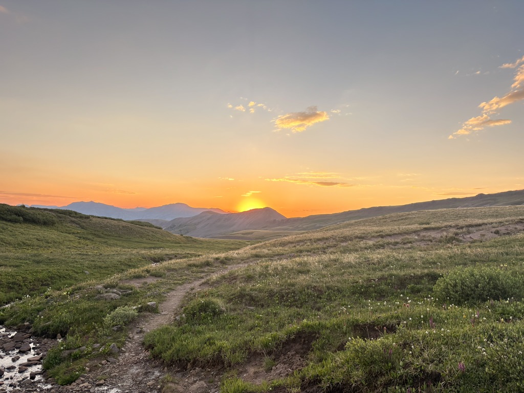
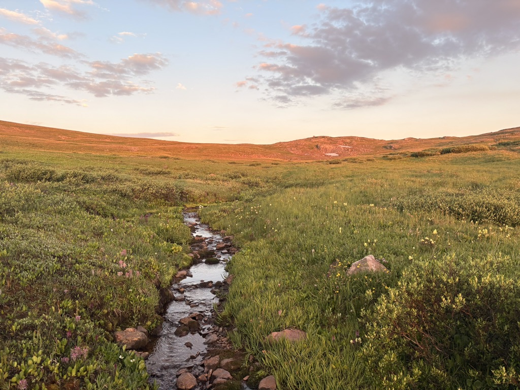
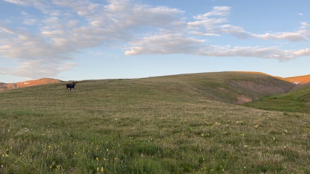
Then, as I come up a rise, I see a bull moose with a female moose. They’re just right there! They trot away, and I stand and watch them until they disappear. This is one of the many reasons why I love to get an early start. So much wildlife! I get to a trail junction and feel a wave of sadness as the CDT diverges from the CT here. I’ve been following the Continental Divide Trail since Georgia Pass, and I’ll miss it. In a few minutes, I round a bend in the trail and one of the most iconic scenes of the CT is before me.
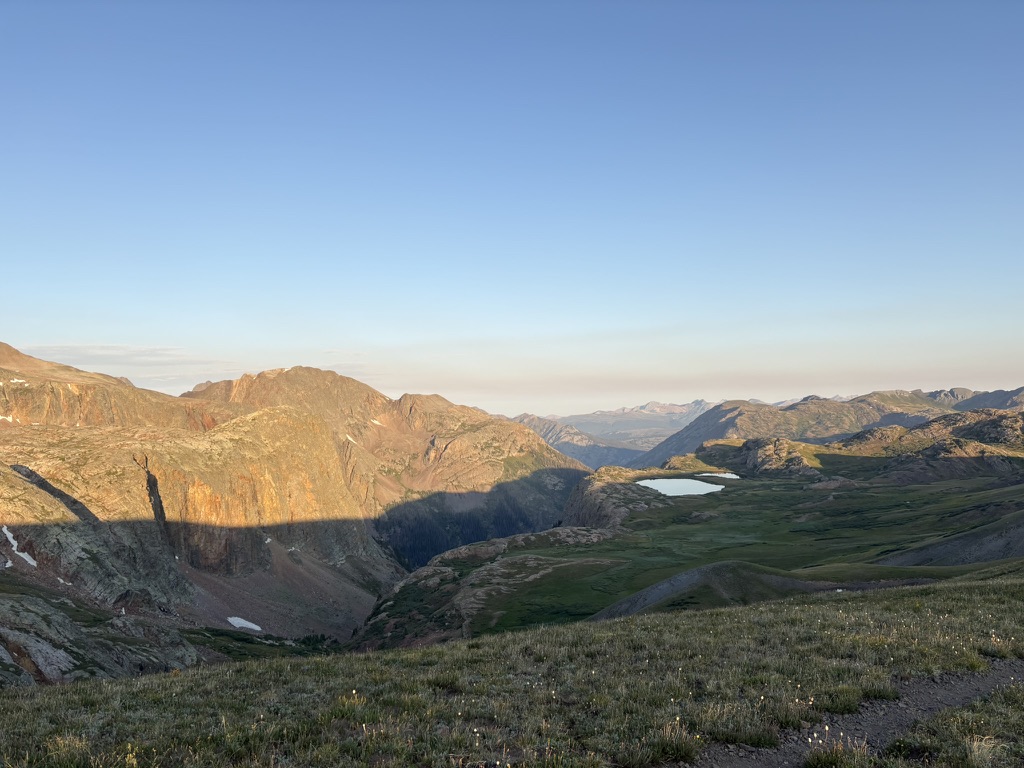
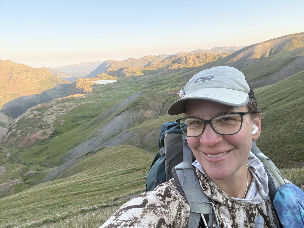
I knew this part of the trail was ahead of me, I just didn’t know where. So it was a real nice surprise to see it this morning. That white shape is a lake, not snow. And to the left of that is the canyon I will be hiking down. I start down some very steep switchbacks, so happy and excited about where I am and what I am doing. I stop every five minutes or so to take in the view yet again. I see some old mines once I get into the canyon, and the trail gets really rough, to the point where I am climbing over some boulders, but just for a little bit. I see where MG and Sage camped, and wave to them as they are packing up. I’ll probably run into them later.
Which I do, and it’s nice to hike through the valley and chat. Makes the miles go by quick. Then MG takes a break and I keep hiking, so I don’t see him again until Silverton. I do run into two section hikers (hikers who hike segments of the trail at a time), sisters Stephanie and Tara. I ask them if they are taking the train, and they don’t know about the train, so I explain to them. They are on board, and we hike together the last mile or so to the train stop. There are a few other campers waiting for the train. We love the train! I get a water and an ice cream sandwich.
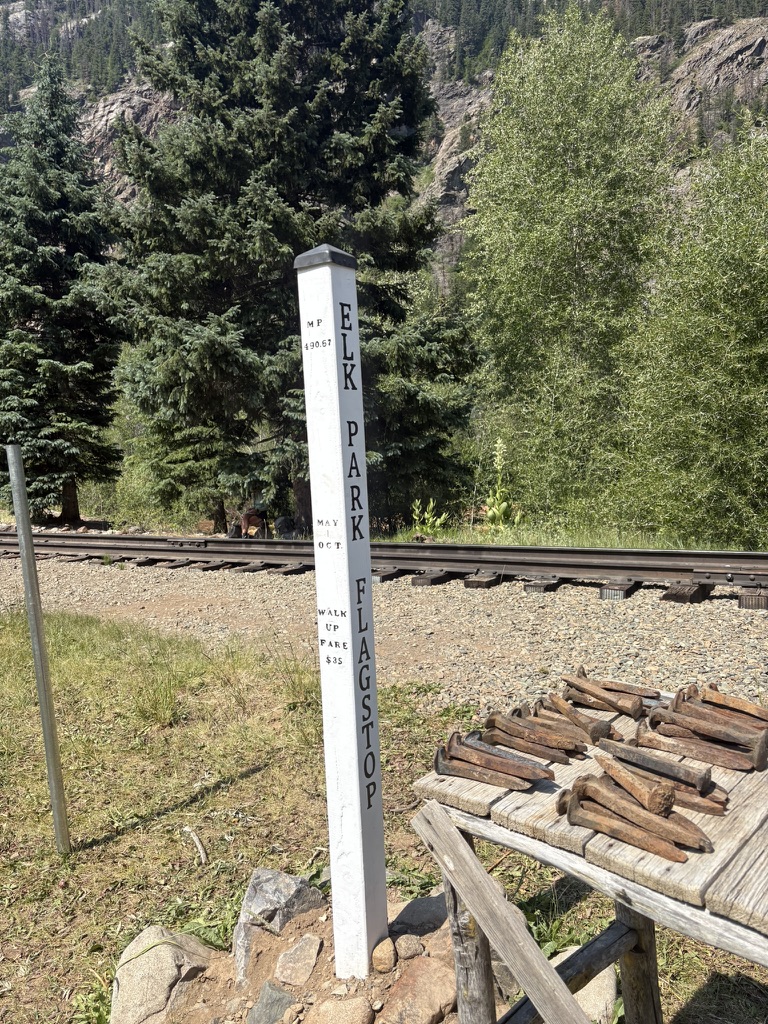
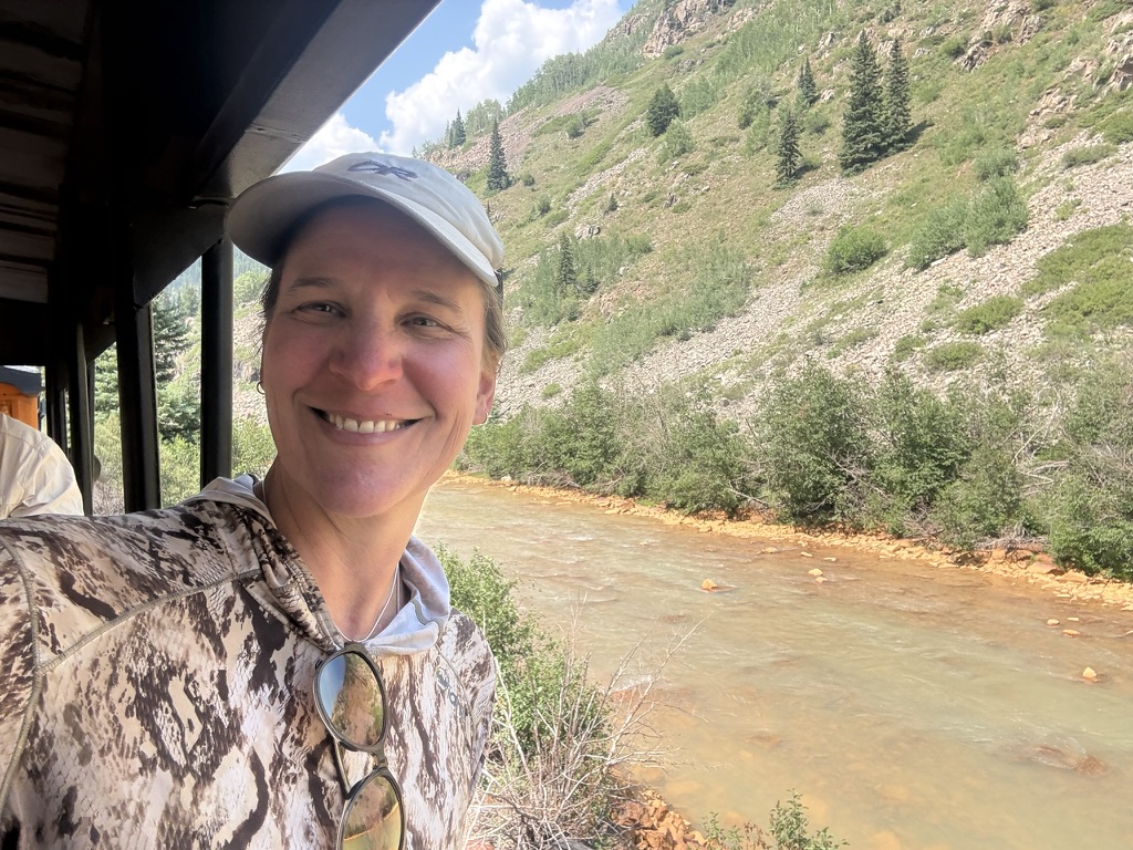
The train takes us right into town and I say goodbye to my new friends and head to a restaurant for a burger. Which was over priced and overcooked but whatever. It’s not trail food. I learn where the laundromat is and get my laundry sorted, meeting an ultrarunner there who is crewing for some race. She gives me laundry detergent and some loaner clothes while I wash everything. People are so nice!
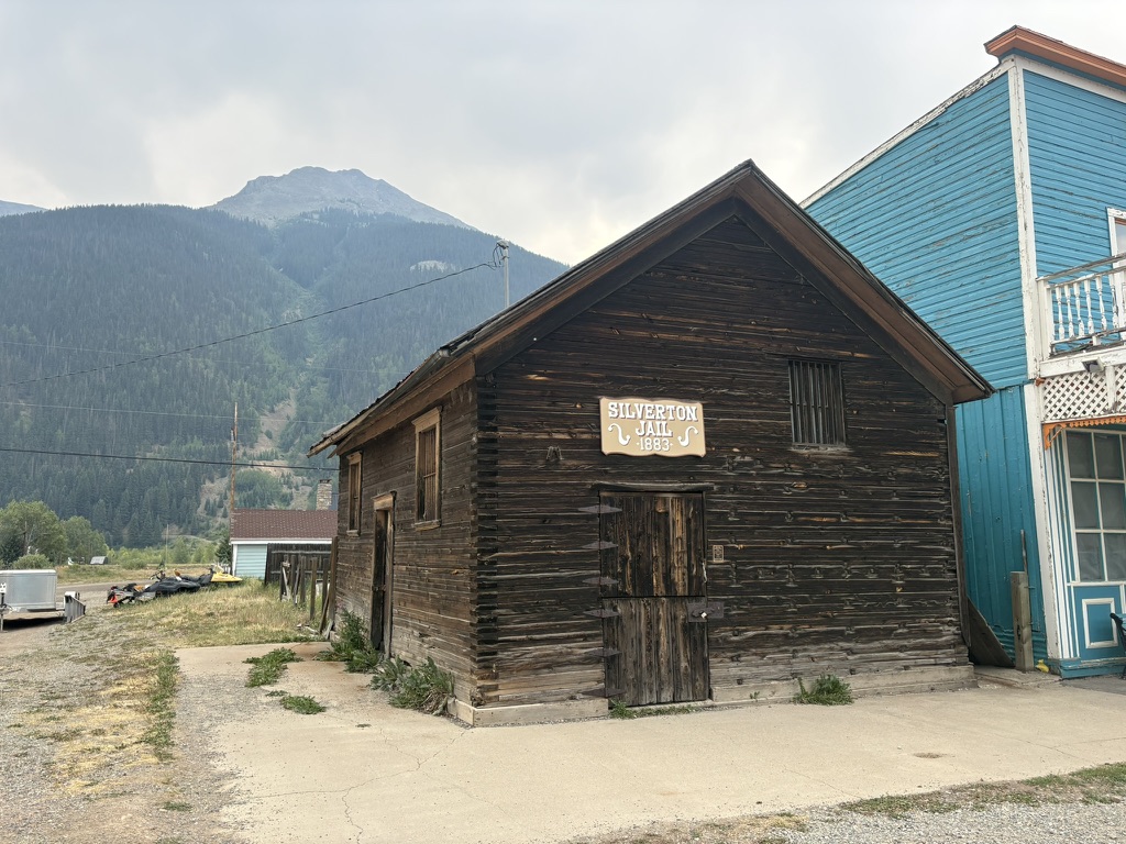
I’ve got most of my chores done and it’s only 2pm! I go the the Avon Hotel, where I have a bunk reserved, and sit and wait for the 3pm check in. It’s nice to sit and relax for a bit. Once I check it and shower (!!!!!) I head over to the hardware store and get some resupply stuff, and the grocery store is just across the street so I fill in the gaps with my food there. I decide to pack out an entire box of Oreos. Why not! There are no rules, and this is my last stretch. I’m celebrating.
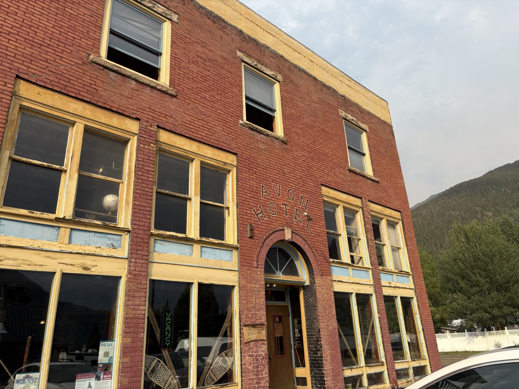
It starts raining and thundering and such, so I go back to the hotel and get my stuff organized. Maybe I’ll have enough food? I think so. Question is, will I want to eat it? Hopefully! Food has been a challenge on this trail, probably because of the altitude.
But I do want pizza, so I head over the the brew pub and get it.

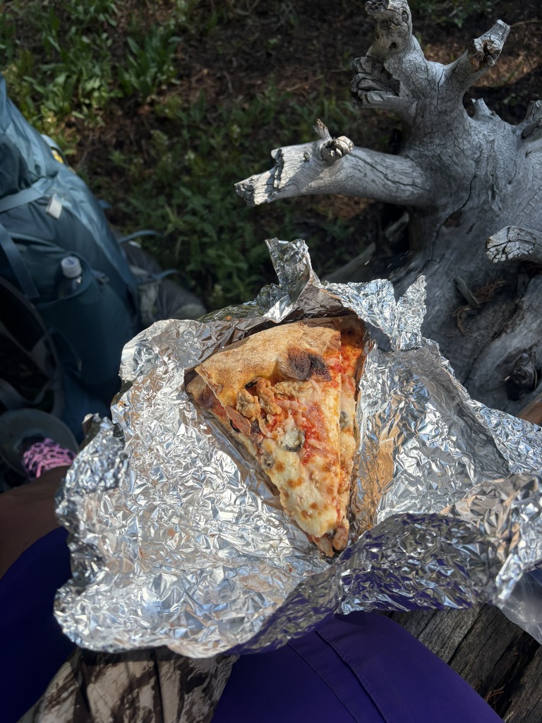
I go back to the hotel with leftovers to pack out for tomorrow. Next day pizza out on the trail is always a morale boost. I don’t really sleep very well because a guy in another bunk snores all night, but I do manage meager sleep, and am happy to pack up and get a ride out of town first thing.
July 15th, 2026 CT mile 425.7 Cascade Creek
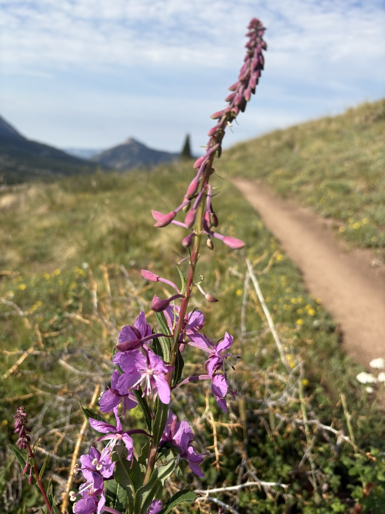
I’ve been told that Cascade Creek is a good place to camp so that’s my goal for today. A trail angel drops me off at Molas Pass around 8:15 am, which is fine for a town morning. I see some fireweed, which is so small compared to the fireweed I am used to seeing in the Columbia River gorge. I cross paths with some local hikers; all women in their 60s-70s, who love to talk trail.
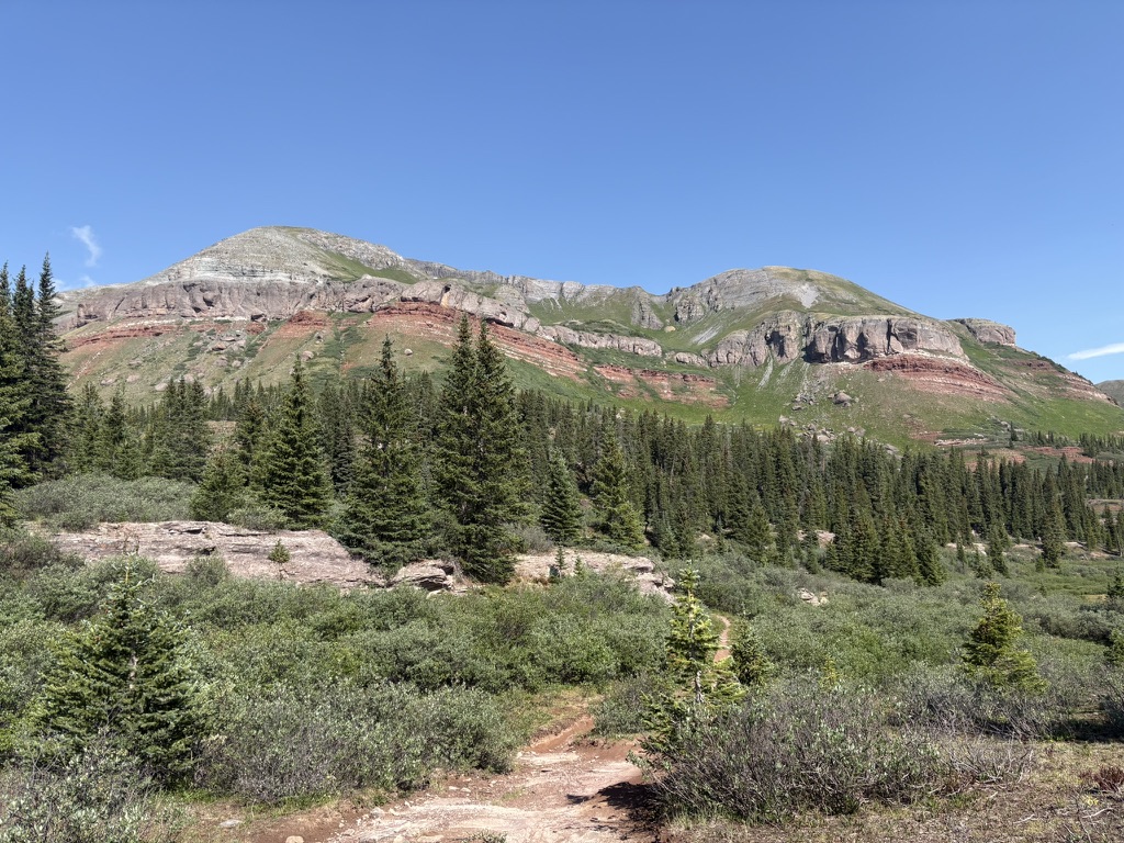
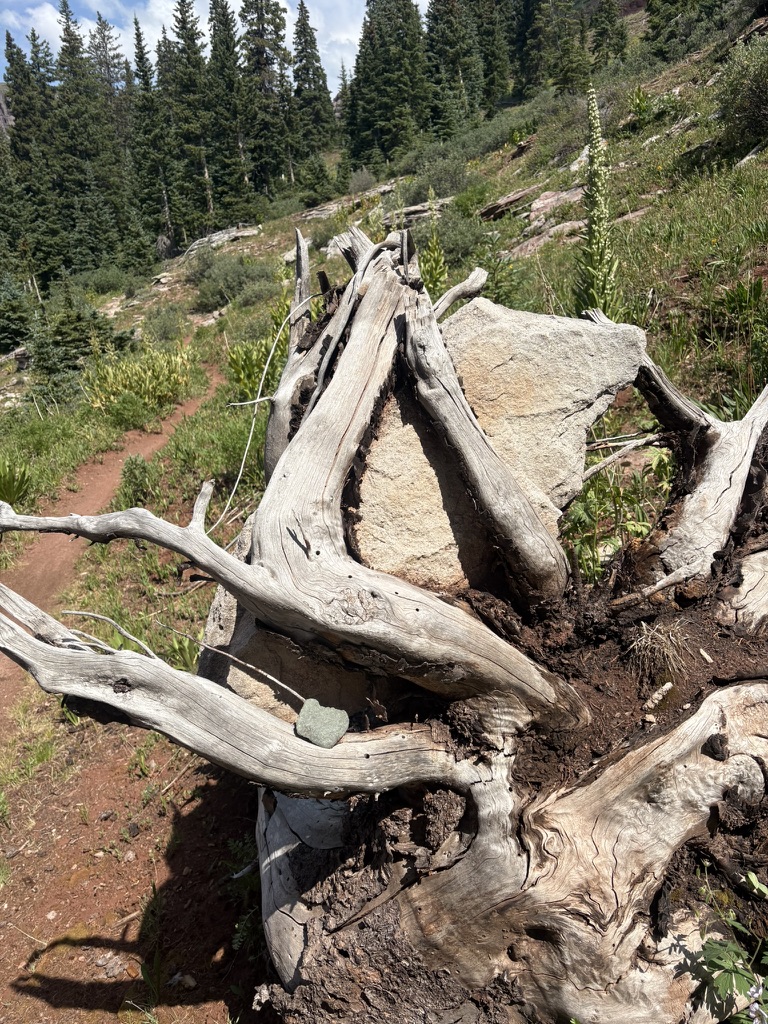
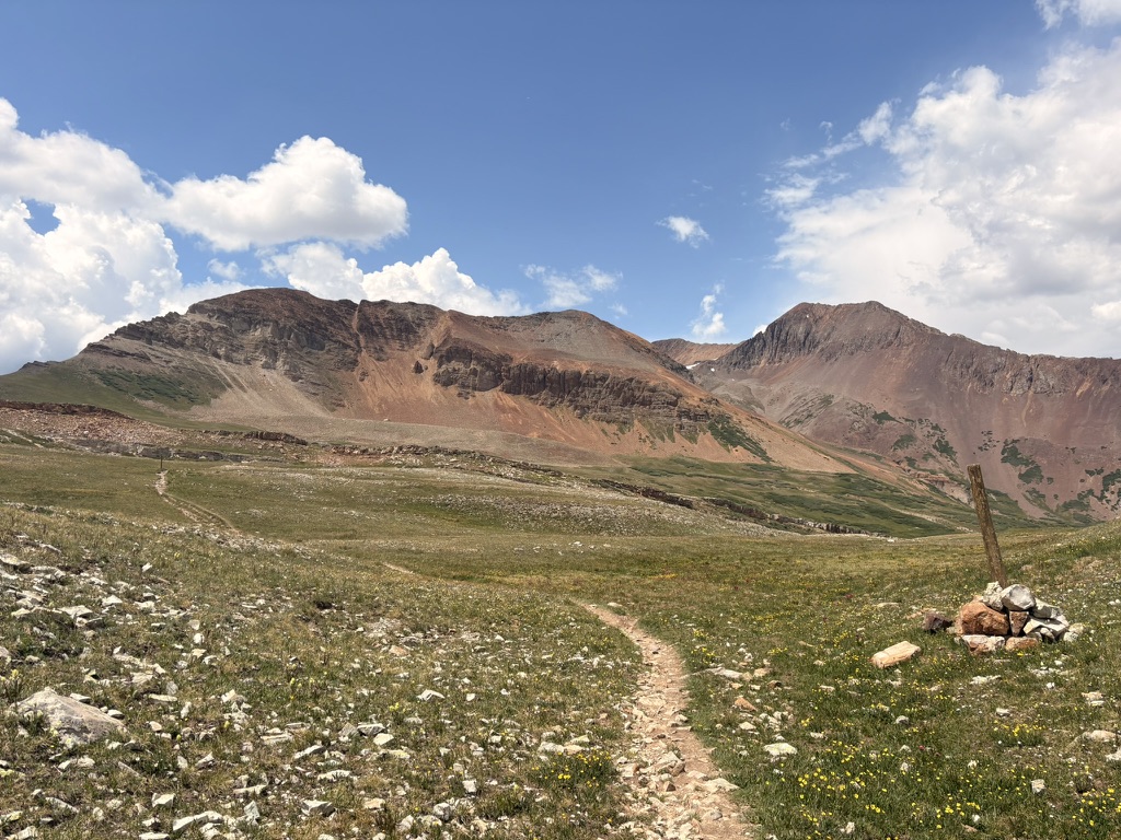
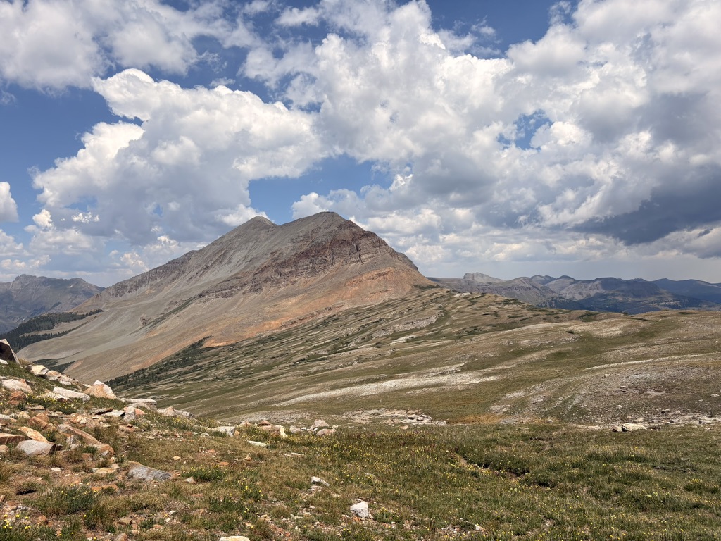
It’s a pretty quiet day as I make my way up a couple of passes. I listen to Lonesome Dove. I stop and stare at the geology. I find myself thinking, “I should move to Colorado.” I know I won’t, but in my mind I’m already thinking about how I can come back here next summer. Hike it again? Or do the sections I missed due to the fire? Yes.
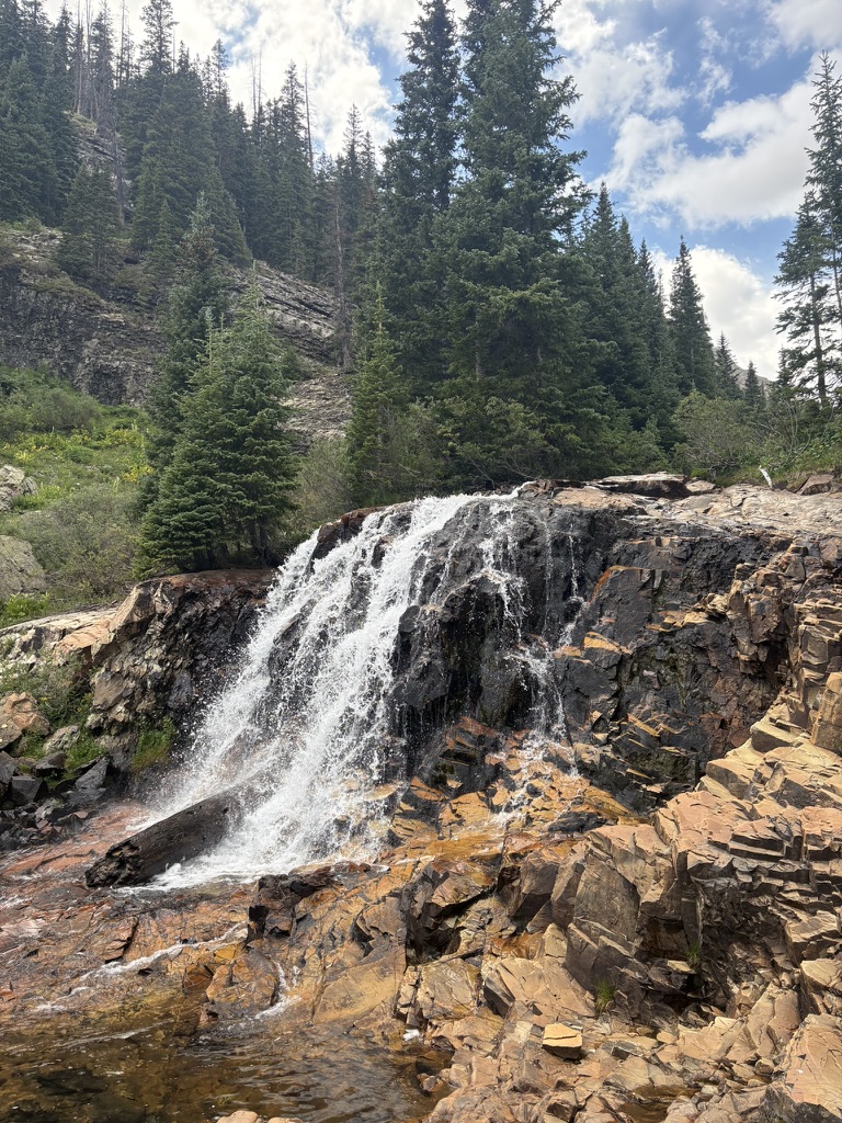
I get to Cascade Creek and it is cascading. There are also lots of biting flies. I have not mentioned biting flies to date since they are really not worth mentioning, other than they are no fun. They are worse than mosquitoes in my opinion. And they have gotten worse. I find a good spot and pitch my tent just as a thunderstorm rolls in. A couple of hikers pitch their tents near me, I feel bad for them as they pitch in the rain; that is literally the worst thing. But there is nothing I can do to help.
It’s nice to fall asleep to the sound of the roaring creek.
July 16th, 2026 CT mile 442.7 super cool campsite
Today was another very memorable day on the CT. I was up and hiking at 5am because I woke up early and could not go back to sleep. At this point, with four more days of hiking left, I’m in an “anything goes” mindset. Do I want to eat Oreos for breakfast and take two caffeine pills? Yes! Should I try to get to the cool campsite mentioned in my Far Out app that has good views and is just generally super neat? Yes! Anything.
I stopped at the top of a pass to dry my tent in the sun. Whenever I have a wet tent, I take the first opportunity to dry it. It may take 25 minutes, but since I got an early start I’m not really concerned with time. What is time? Time to sit and listen to the elk bugle to each other. It’s a very unique sound, if you’ve heard it you know. I sit in the sun and my tent dries. I don’t know it at the time, but I will be very happy later in the day for a dry tent.
I hike around some tiny lakes and around boulder fields.
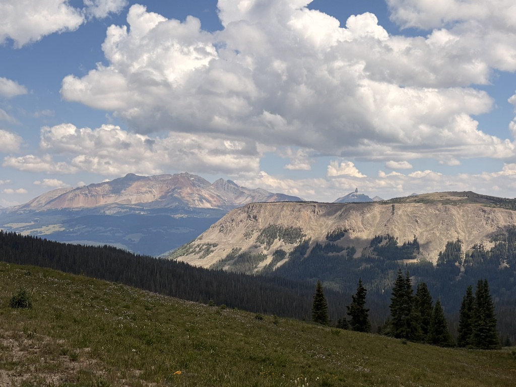
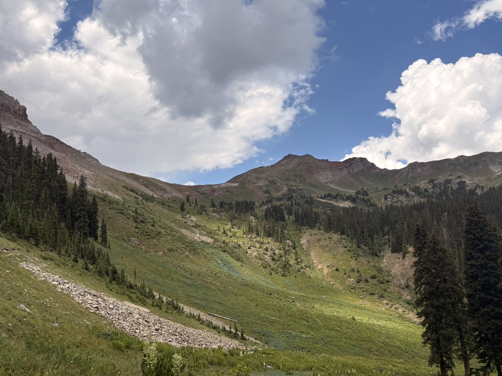
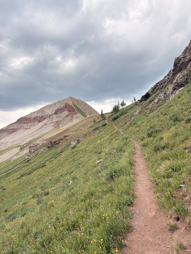
Around 1pm I start my ascent up to Blackhawk pass. Clouds roll in and there’s some thunder so I power hike up the pass. Will I make it over the pass before the rain comes? I certainly try. I get to the top and it starts to hail. Just lightly though. I start the descent and it starts pouring. Hiking in the rain is a mixed bag. I don’t like it, and I try to avoid it, but at the same time I tend to make really good miles hiking in the rain. Mostly because I don’t take breaks and I hike fast. It’s exhausting. But it just happens that way. I’m a little worried because I’m still above tree line and there is lightning. So I book it down the switchbacks. I make it to my water source for the rest of today and the first 10 miles of tomorrow. Which means I need to camel up and carry to capacity. I think there is a water cache at the trailhead in a couple of miles but I don’t know for sure. Best to assume there is no water at the cache. I’m tromping down the trail which is now a river. Thunder cracks right above me and it starts POURING. It’s cold rain, since I’m at about 11,800 feet elevation. If I stop, I’ll get cold. It’s raining too hard to pitch my tent. I’m about 2.5 miles from the cool camp site. I can make it!
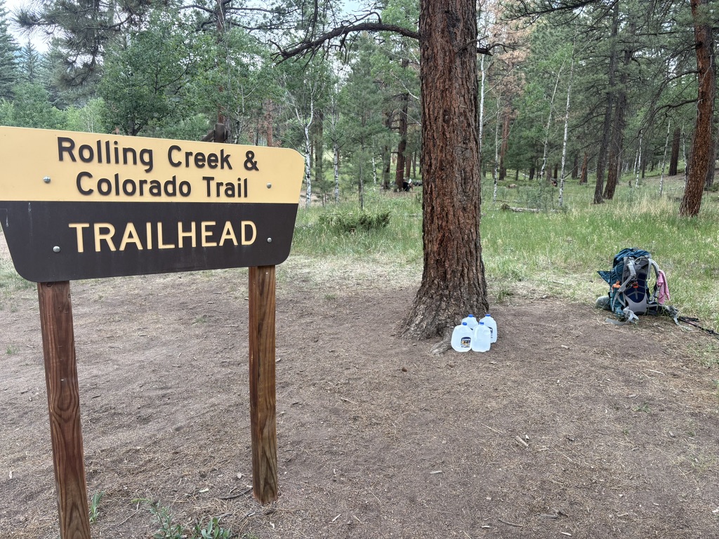
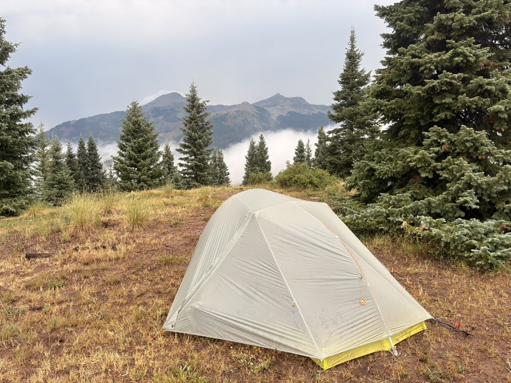
I get to the trailhead and there is the water cache with plenty of water. And here I am carrying 4 liters. I stop and drink a liter in the rain. Just to get it in me. I know I’m sweating a lot under my rain gear and I need to drink more anyway. Then, it’s just a mile or less to go. The rain lightens up a bit, and the thunder is not cracking right over head anymore, so that’s good. Then, I see the spot where I need to leave the trail and hike over a berm. And there it is. A quintessential flat spot, protected by a tree, with a view of the mountains all around. The rain stops. I pitch my tent, singing with joy. Like, literally.
I get everything set up and I make my dinner on a tree stump. More Oreos. Perfect. And then I’m warm and dry in my tent. A good day.
July 17th, 2026 CT mile 461.7 Taylor Lake
Today was all about ridge walking. No water for awhile, but it’s cool, and I have enough. I see some other hikers that I saw yesterday, they had a similar experience with the rain that I did yesterday. I hope they had a cool campsite to end their day. I don’t know.
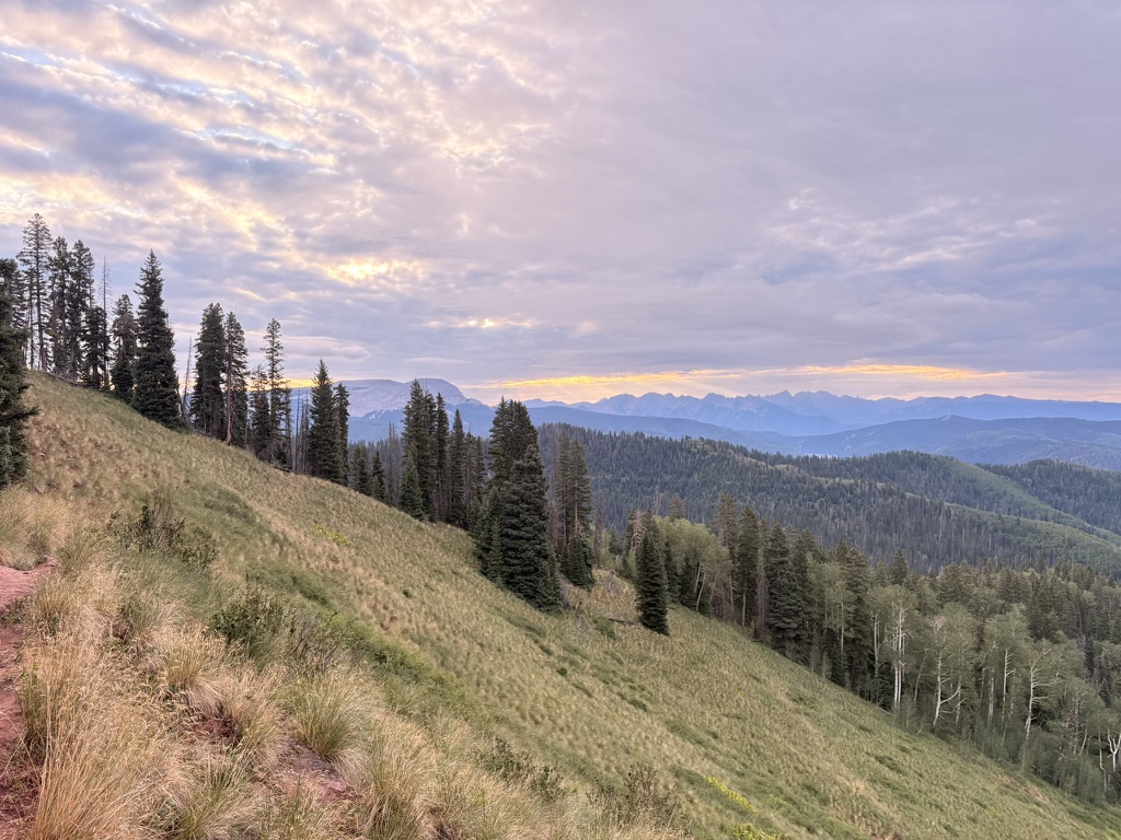
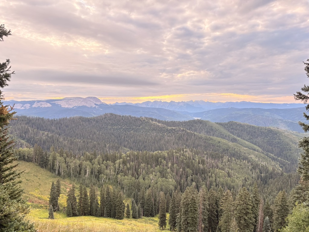
Today’s hiking is lots of little ups and downs, which is exhausting to me. I am so tired. Always so tired. It’s a struggle. But I know that today is really the last big mile, big elevation gain day. So I rally. Listen to Lonesome Dove. It’s actually really nice hiking with cruiser trail, so I know I should not complain. And I do what I’ve been doing this entire hike when things get tough. I remind myself that I’ll wish I was here in October or January or April when I am home. Perspective.
I get to another iconic spot on the trail; Indian Trail Ridge. It’s a series of four passes, all next to each other. Small, but they are at 12,000 feet where everything is difficult. I decide that it’s going to be fun. A switch flips, and there I am, barreling down the trail laughing and then the thunder cracks and it pours again.
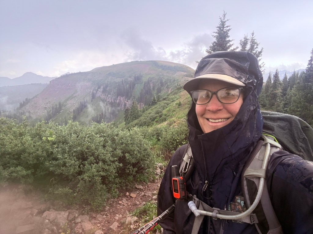
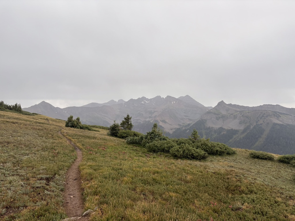
I’m not too worried about the lightning because the passes are not on the highest points of the ridge, so I think I’m good? I’m listening to the part in Lonesome Dove where Gus and Call have to make a decision about what to do with Jake Spoon, and this part always gets me, because Newt is there and he looks up to Jake . . .
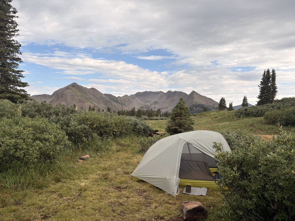
I make it to the last pass. I see Taylor Lake below me. I hike down the steep trail, and it’s very rocky. I’m glad I’m not hiking up this! I get to the lake and look around for a spot, and find one in the willows. It’s not very buggy, which is a bonus. I get set up, eat diner listening to Lonesome Dove, and then call it a night. After a few Oreos.
July 18th, 2026 CT mile 471.5
Mornings are the best times. No smoke (generally) and everything is fresh. Wildlife. Tonight will be my last night on trail. I don’t have far to hike today; I want to get to a place where the hike to the end of the trail tomorrow is generally easy and chill. No problem.
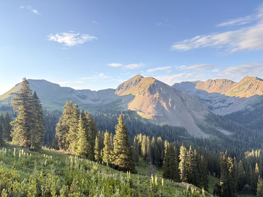
I hike over to Kennebec Trailhead, and the start of Segment 28, the last segment of the Colorado Trail. It’s a really nice traverse with nice views of Cumberland mountain and Snowstorm peak. I like to know the names of landforms around me when I can.
I take multiple breaks; much of today’s hiking is downhill. My pack is light because there’s not much food or water in it, which is fine. I get to Junction Creek around noon and take another break. There is one more incline on this trail, and it’s just after Junction Creek. I plan on dry camping tonight, which means camping with no water source nearby. There’s a spring up the trail in a couple of miles, so I’ll camel up there and fill to capacity for tonight and tomorrow.
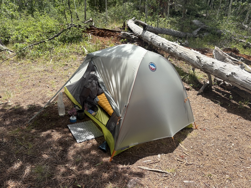
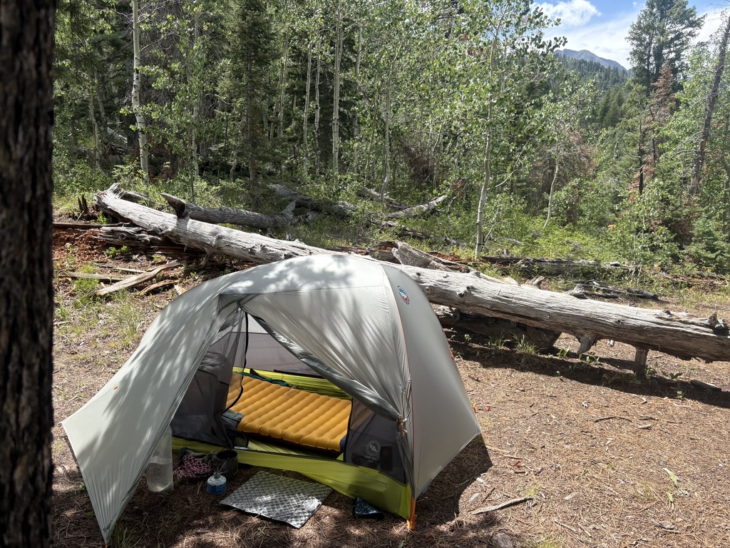
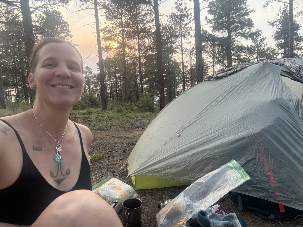
I get to the spring and the biting flies are nuts, so I quickly do my business treating my water (maybe too quick) and get to hiking. I find a great campsite in a mile or so, and set up under some Ponderosa pines, aspens, and live oak. I can tell I am getting lower in elevation because there are oaks. Something I have not seen since the early days.
It’s only around 3pm but I am tired. Glad I stopped where I did, and I eat random food left in my pack, dividing out tomorrow’s snacks. Oreos. Ramen. Lonesome Dove.
The two hikers who shared my campsite at Cascade Creek roll up, and they pitch near me just as a thunderstorm rolls through, just like last time. We all laugh. It’s ok to pack out a wet tent tomorrow because tomorrow I can dry my tent in my motel room in Durango.
July 19th, 2026 CT mile 487 Durango
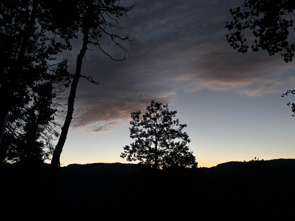
My tent was dry when I packed it up; since I’m at a lower elevation, I guess it dried faster. The trail’s parting gift to me. I get started super early because I love hiking in the dark. I really do. I get to a spot on the climb where there is a view over Junction Creek valley, and I turn off my headlamp. I stand there and listen for a few minutes. Watch the moon. The trees.
I’m still hiking down, down, down out of the mountains. To town. I’m sad about this, but also very glad and very ready to be finished with the trail. I am bone weary and tired, and I know I need to rest for a week or so before I can do . . . what it is I will do with the rest of my summer.
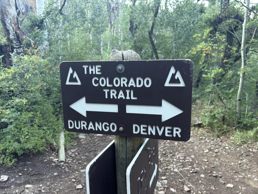
But right now I’m just hiking, listening to the last chapter of Lonesome Dove. I finish the book with about five miles left in my hike. It’s bittersweet, and I find myself wishing I could go back to the start of the trail and begin again.
But of course that’s not the goal.
I start to see more day hikers. Trail runners. Couples with dogs out for a day hike. Some people stop and ask me if I’m about to finish the trail. Yes, I am! They congratulate me and I nod, humbled by this trail. By the continuous gains, the vast expanses of wild. By the elk bugling as I hope to dry my tent. By the sudden storms with freezing rains. By the elevation profiles that seem mild but turn out to be as difficult as anything. By the kindness of strangers, always the kindness of people who want to help me just because I am out here, hiking. As I get closer to the trailhead, I start seeing families. People who are hikers, but they wear street clothes. Flip flops. I know I’m close when I start to see flip flops. The albatross of the trail. I can see land.
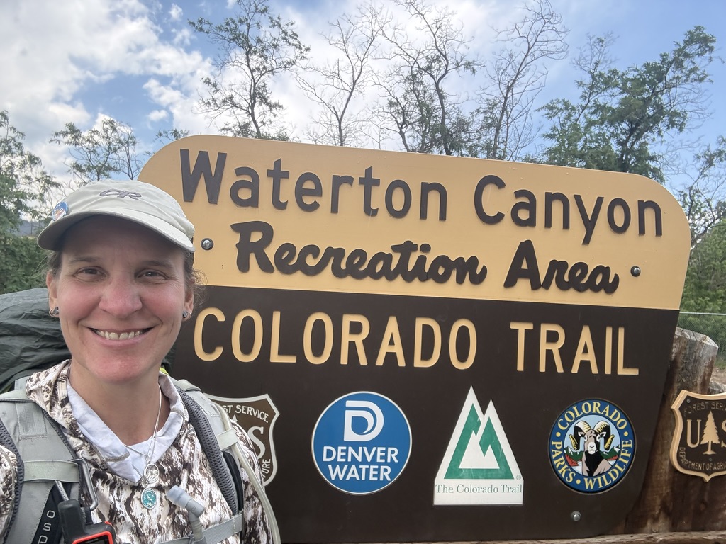
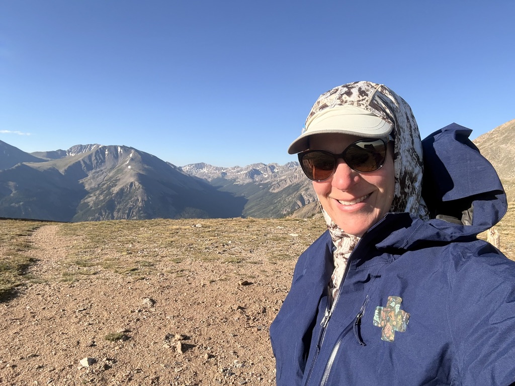
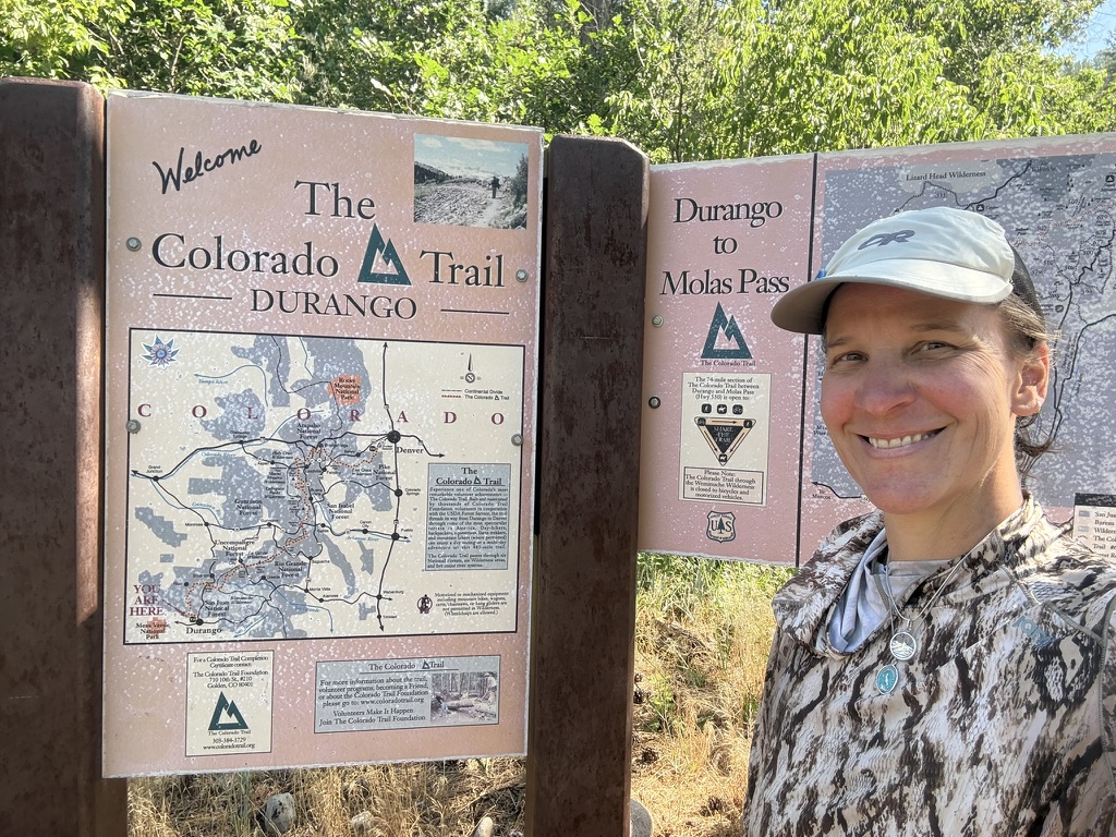
And there it is. The sign. The information sign about the Colorado Trail. About the area. I take a selfie and use the pit toilet. A day hiker is bundling his toddler into a truck. “Need a ride to town?” I happily load my pack into the back of the truck and hop in.
Town awaits.