December 16
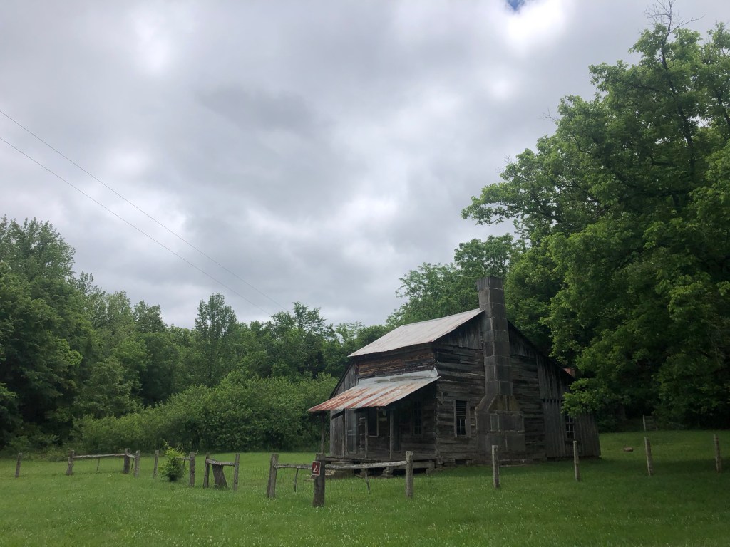
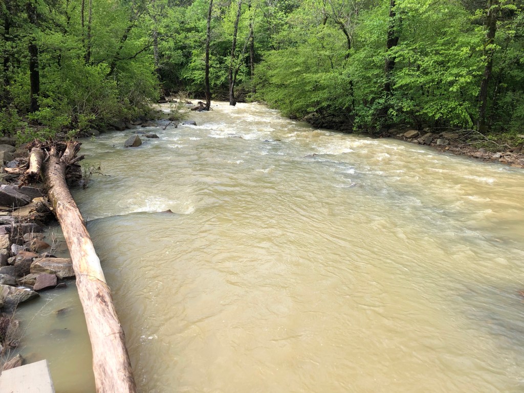
When I stepped off the plane at Kilimanjaro International Airport I was immediately overwhelmed with the warmth and the smells of the night. It was 9pm and I felt like I had been in the air forever. Exhausted, I knew I would not get to my hotel for a bit, so I relaxed my shoulders and unfolded my lungs into the thick air as I walked into the terminal to go through customs. Once I retrieved my bag I was happy to see someone from Embark Exploration standing outside holding a sign with my name. Such a relief! Someone to take me away so I can sleep! We loaded up the van and drove to Moshi, which is about a 50 minute drive. So many smells. It was a clear night but I could not see the mountain. My driver, whose name I have forgotten, explained to me where it was, and said some other things but I was lost in tiredness and the wind through the window.

December 17
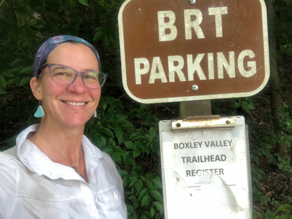
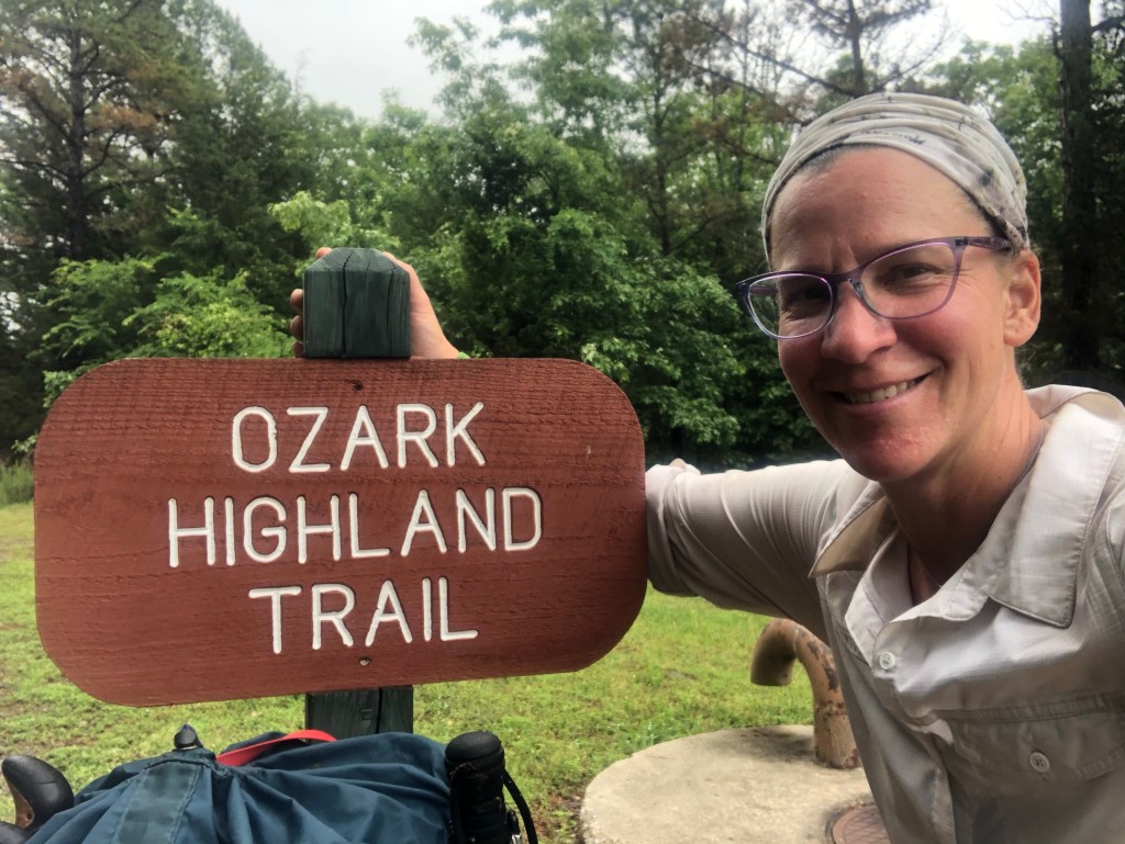
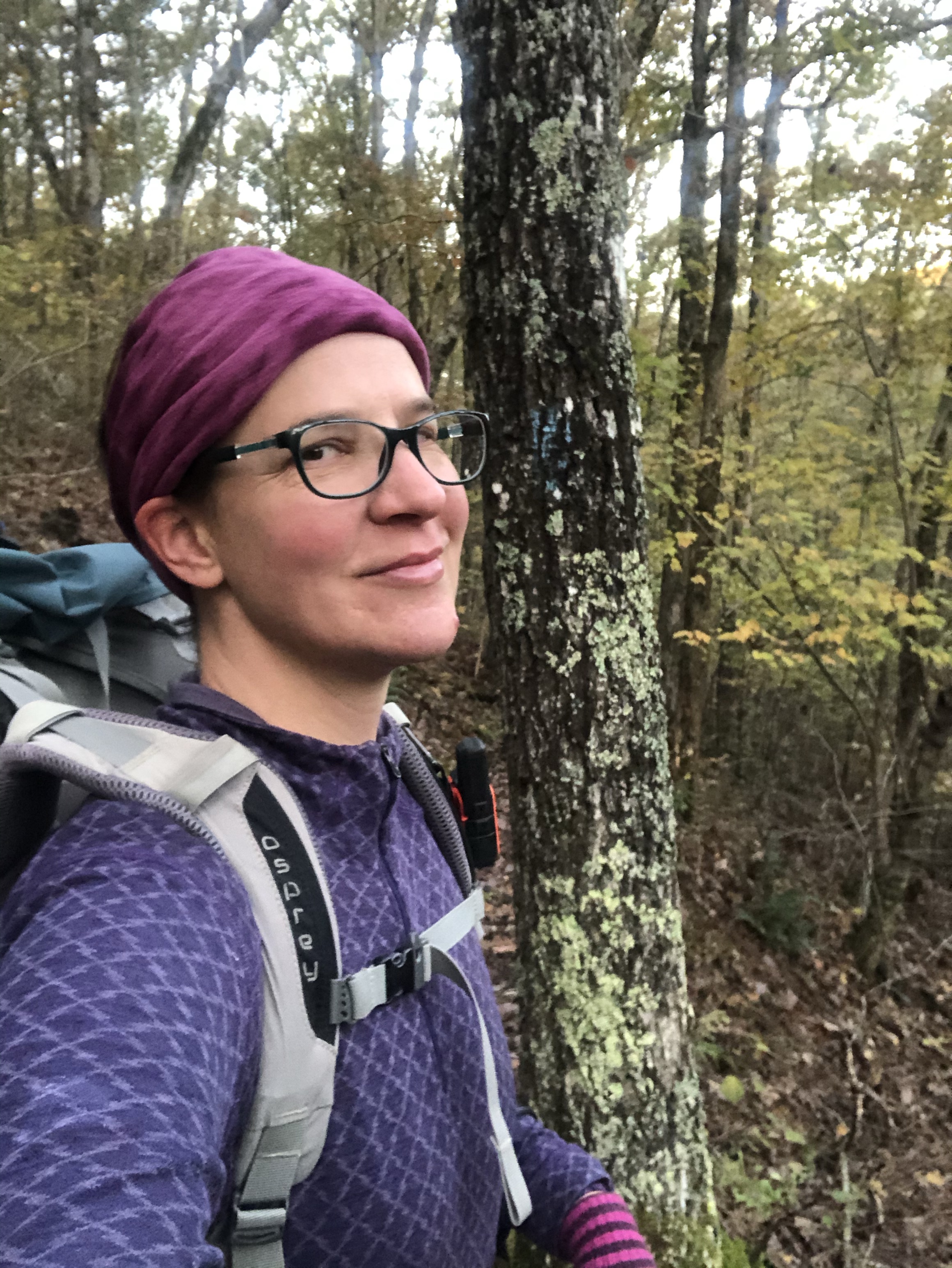
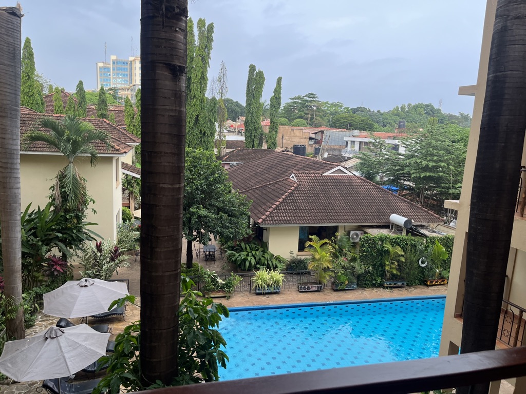
I woke up before 7am still not rested but very content in my basic little hotel room. I took another cold shower and went down for breakfast and coffee. I had some time before 10am when I was to go into the lobby and meet with the Embark guides. I watched some birds, went back to my room and organized my stuff, and went to the meeting. I met the other two people in my group, Meagan and Francisco, from Memphis. I was relieved, as they were very nice and I could tell that they would make good companions on this adventure. Then Leo and Fredrick (the other Freddie) came in and introduced themselves. To make this clear, Freddie, who is Leo’s younger brother, is the head of the Tanzanian Embark Explorations Co. Fredrick, is our lead guide on the mountain. Fredrick and Leo talked to us about what to expect for tomorrow and gave us a little packet with an Embark Buff (yay, more gear!) and a detailed itinerary. Once we went over everything, and asked some questions, Leo and Fredrick went with us up to our rooms for a gear check. This is important because guides need to know that their clients have the right gear for various situations on the mountain. Fortunately, I had everything necessary. Fredrick particularly approved of my down pants.
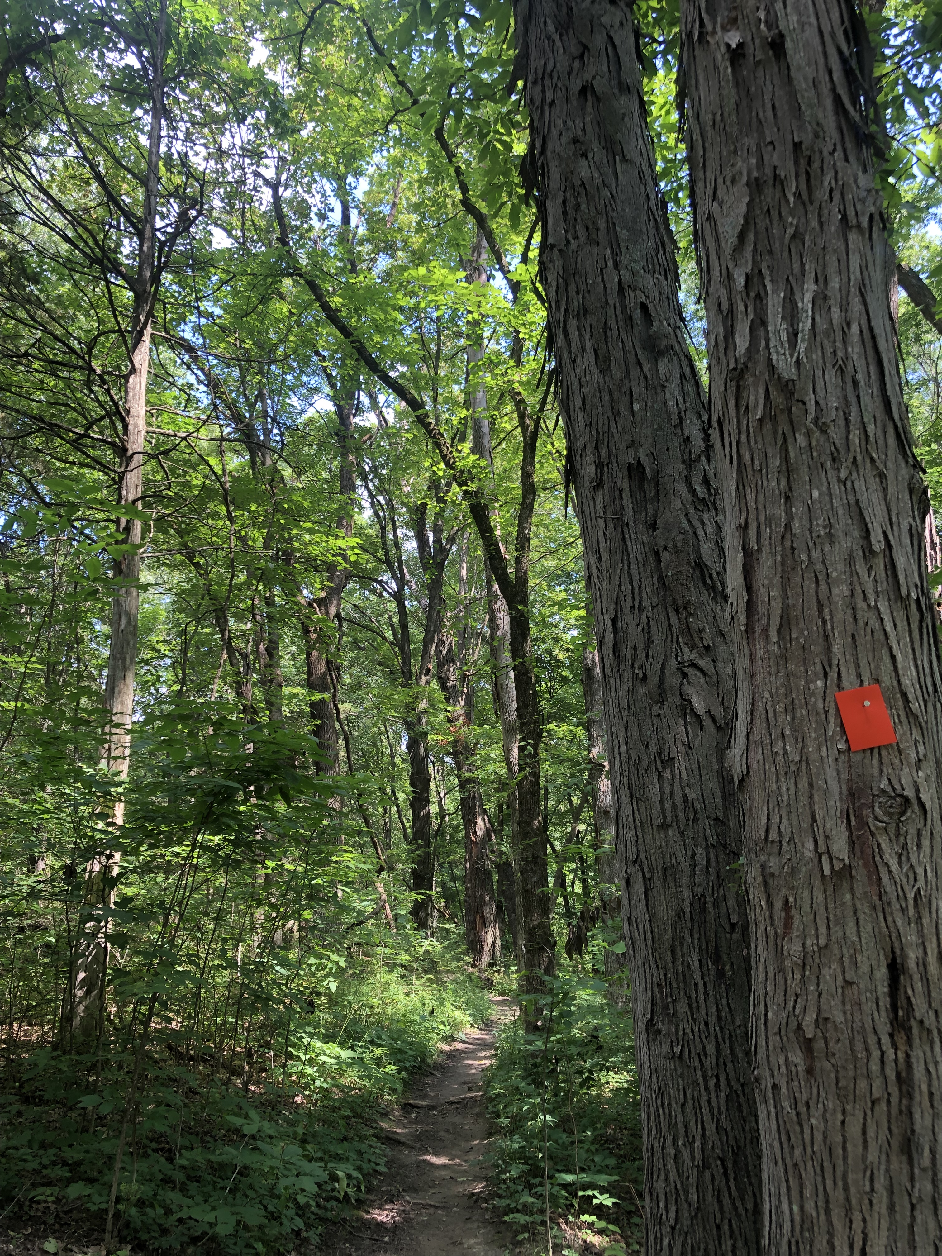
After the gear check, Fredrick took us out on a walk around Moshi, which was fascinating and definitely a sensory overload for me. I kept thinking, tonight I’ll get caught up on rest. Tonight. But soon I was completely caught up with everything that was happening around me; street vendors, motorbikes, people everywhere. And it was hot! I needed water so we ducked into a small shop were I bought a 1.5 liter bottle. Fredrick took us down to the market, where Embark buys all of the food for expeditions. Fredrick explained that this market was different because all of the food was very fresh, clean and came from local farmers, sort of a collective market. We saw fruits veggies, lentil flour, beans, rice, all kinds of things. He then took us to Union Cafe, a coffee roaster/cafe, for lunch. Set in an old government looking building, this cafe, like the market, is a collective of sorts where local organic farmers can sell their coffee.


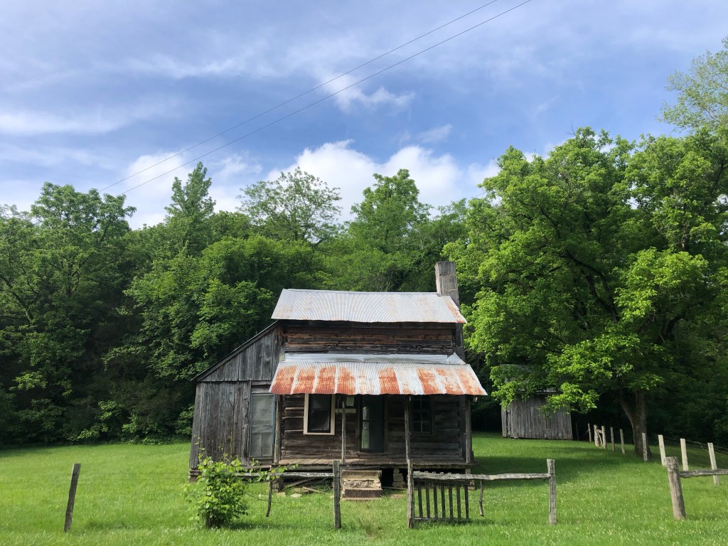
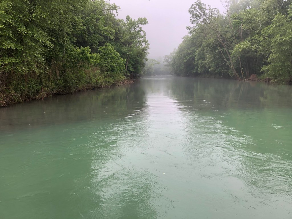
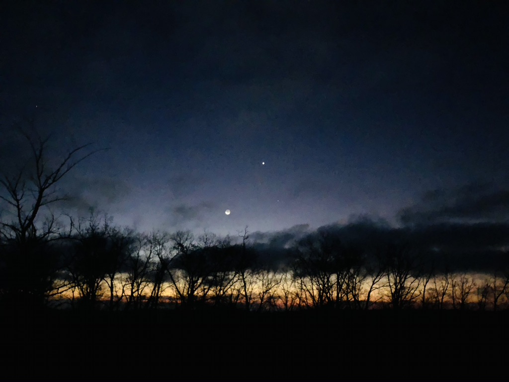
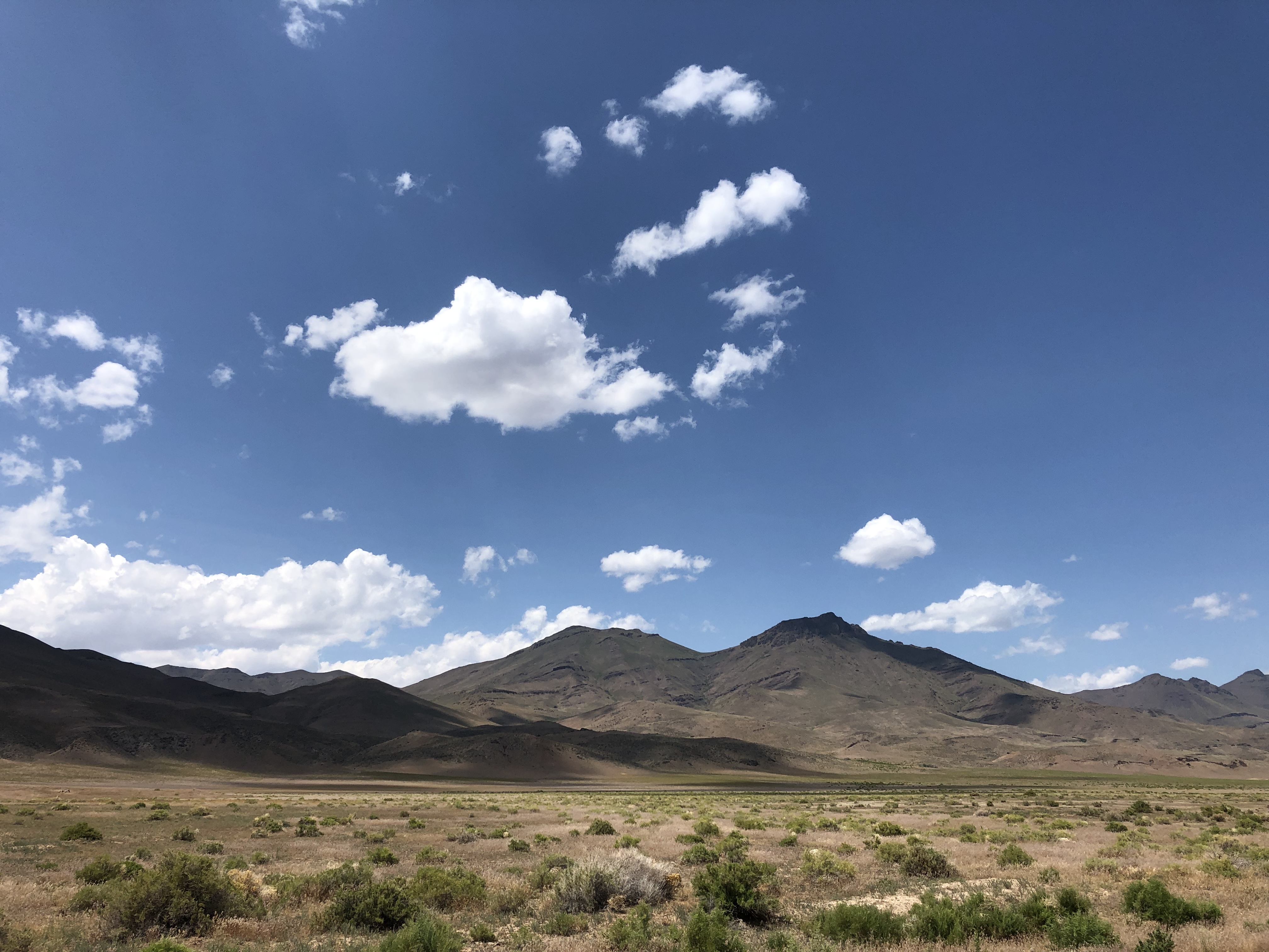
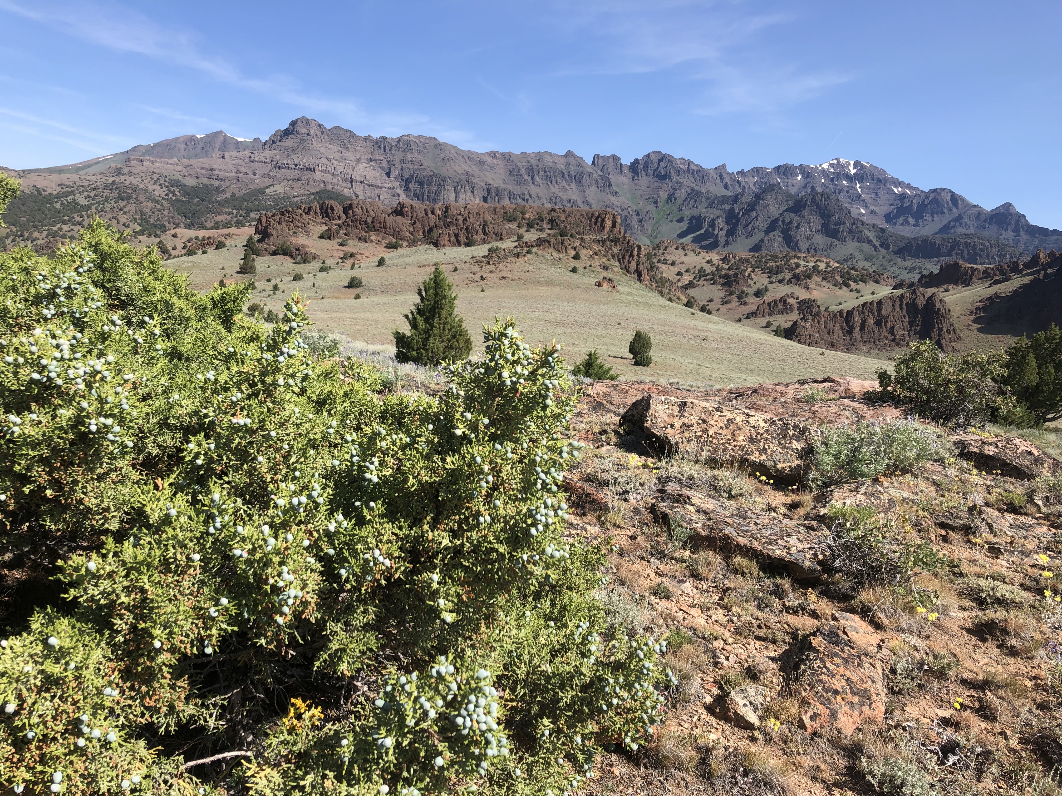
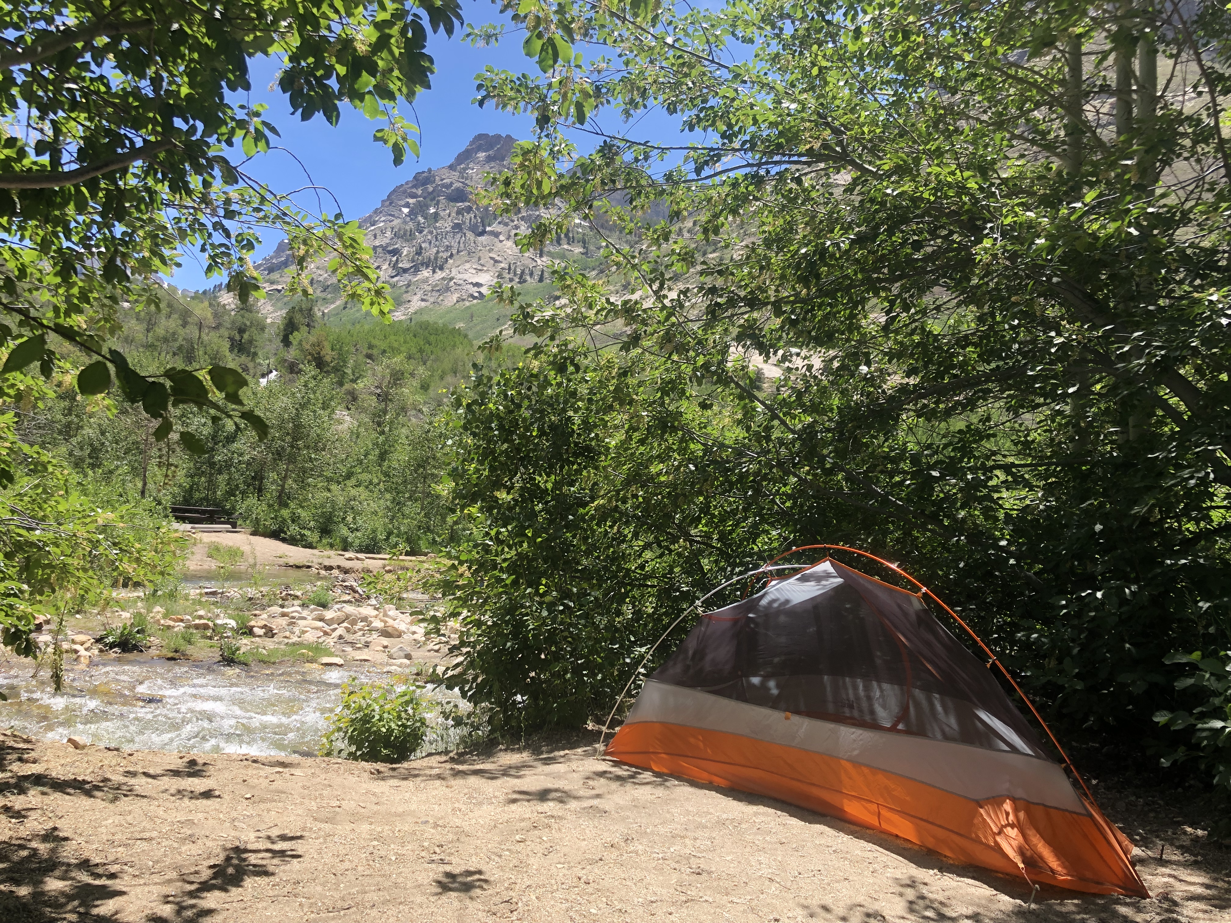
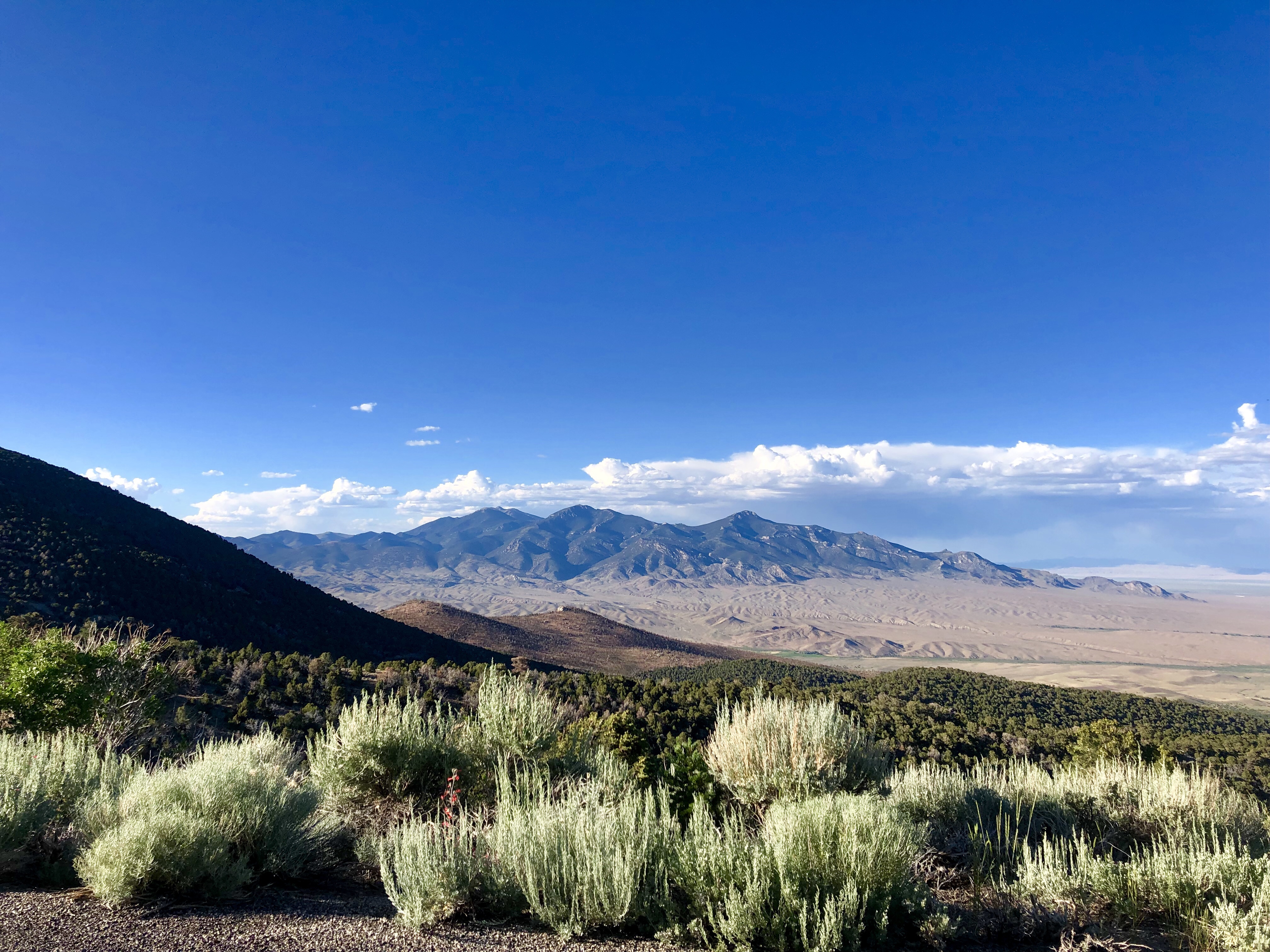
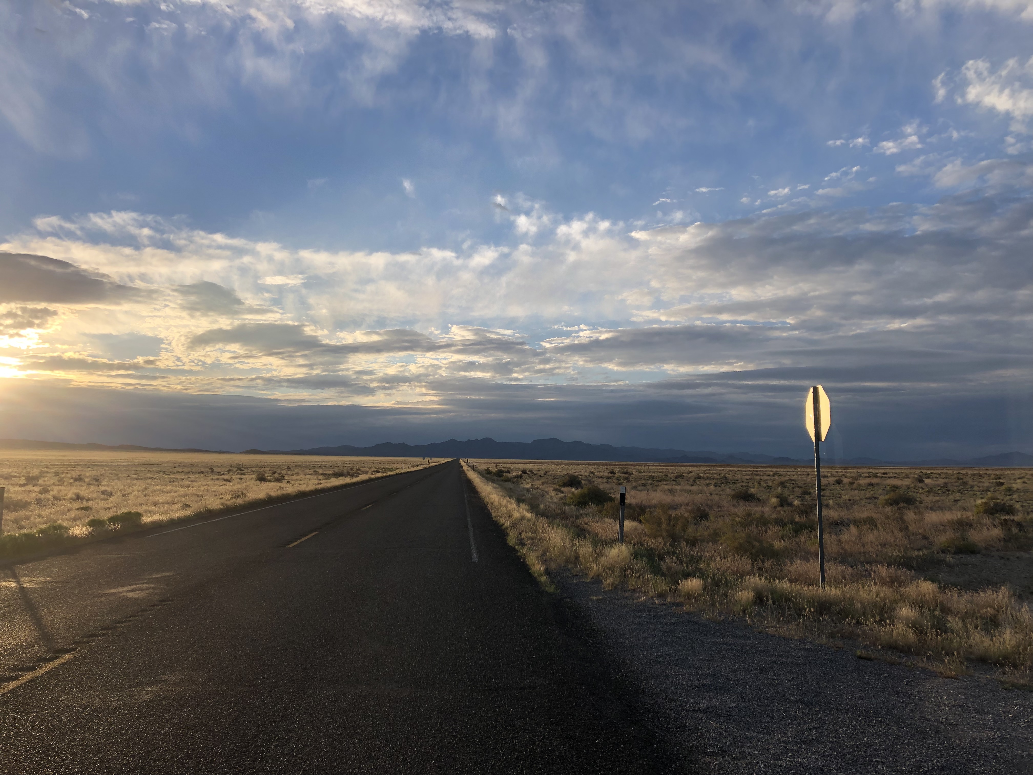
We had a delicious lunch, and then we walked back to the hotel, stopping at the store for water and snacks. After an afternoon nap, Meagan and Francisco came to get me, and we got our first clear look at the mountain.

December 18.
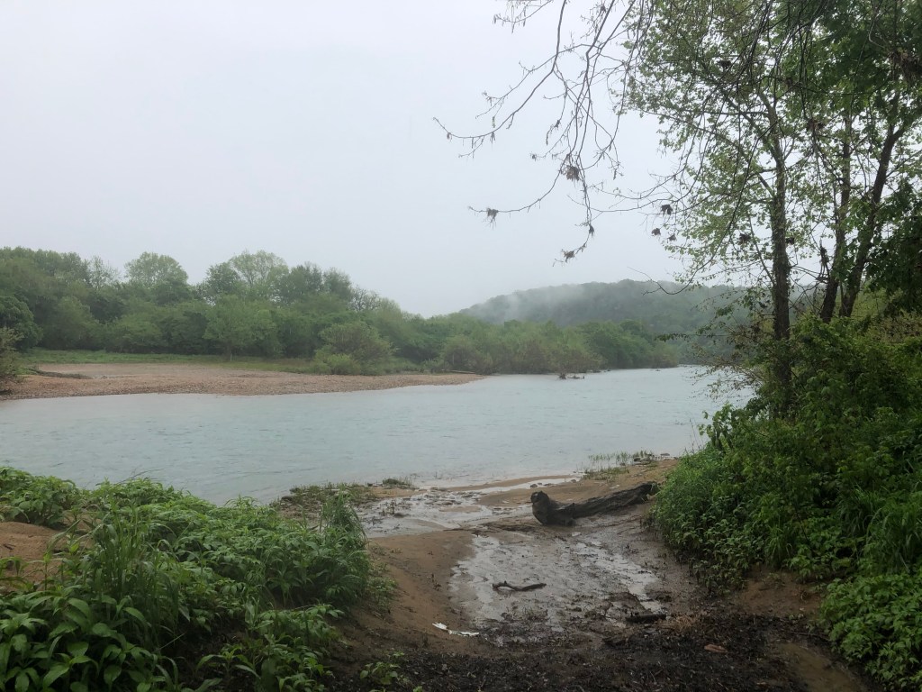
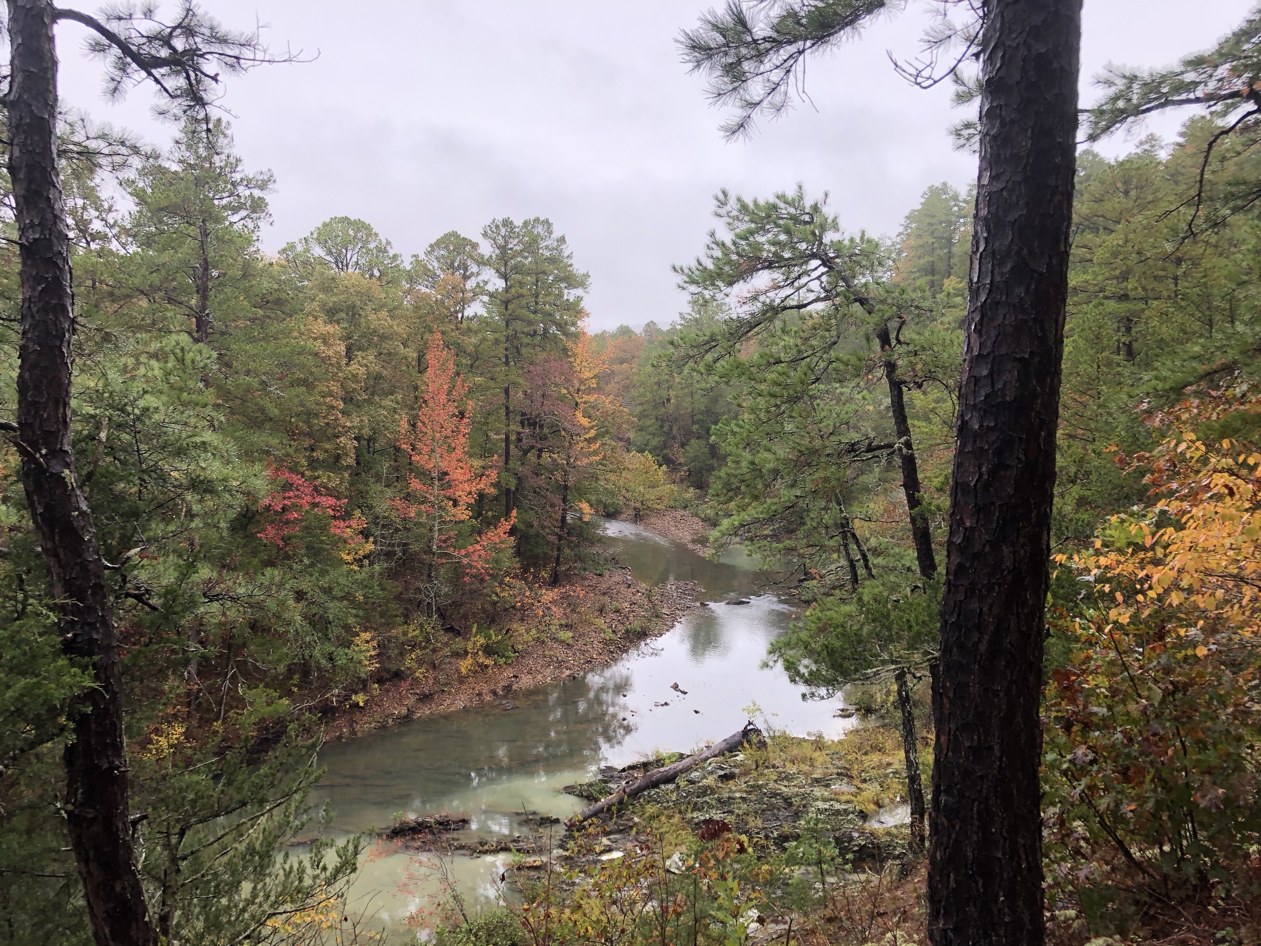
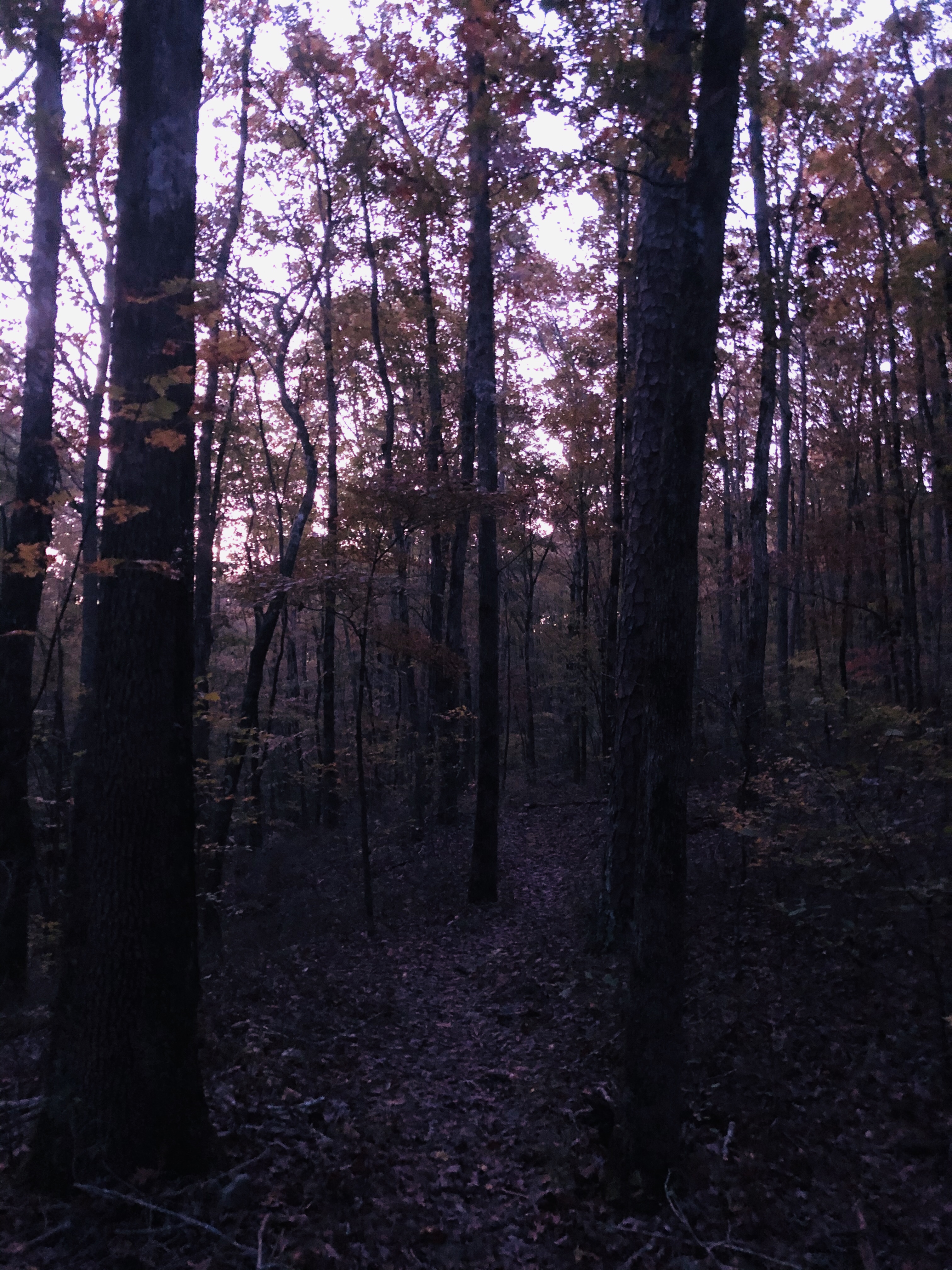
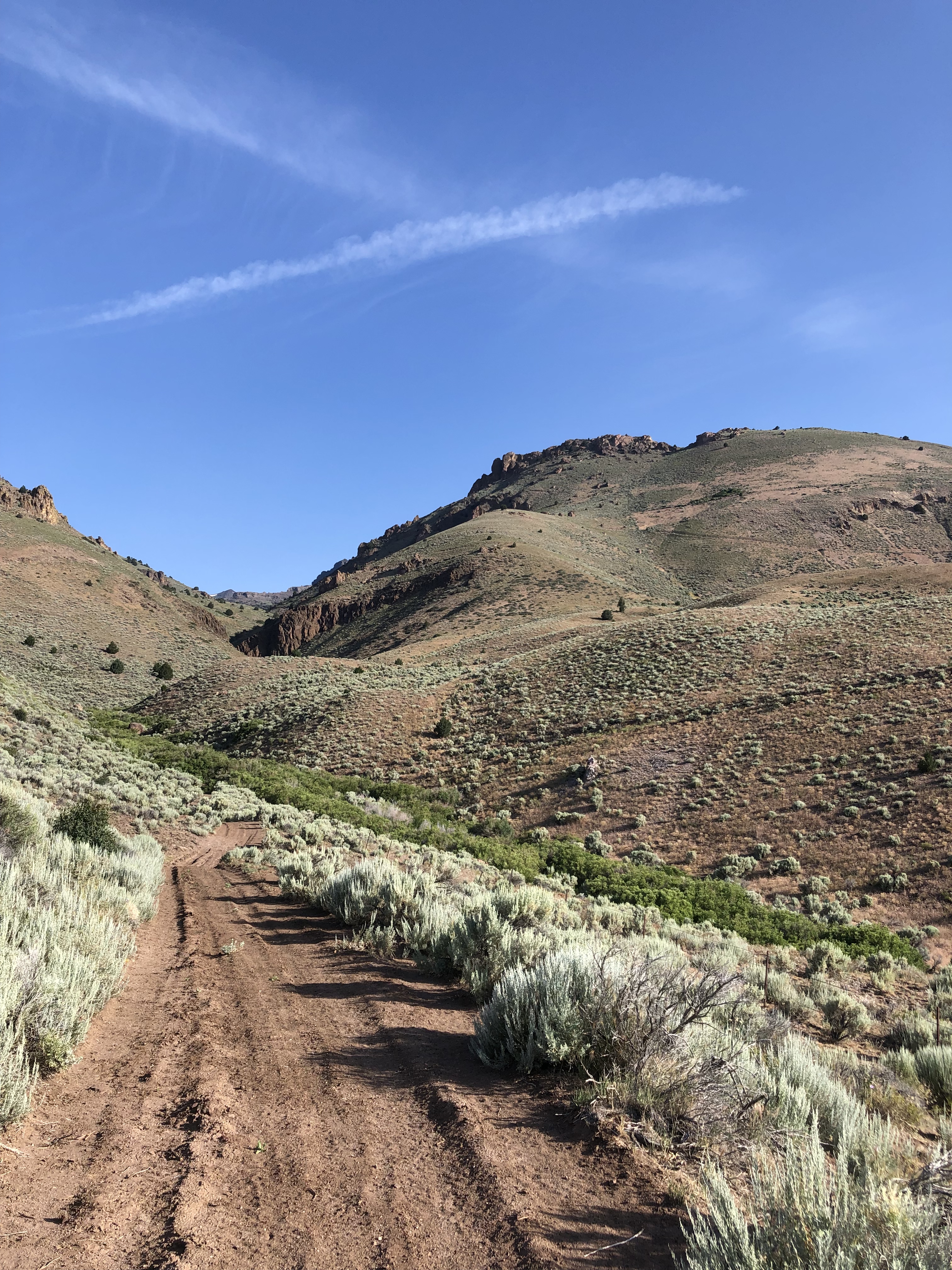
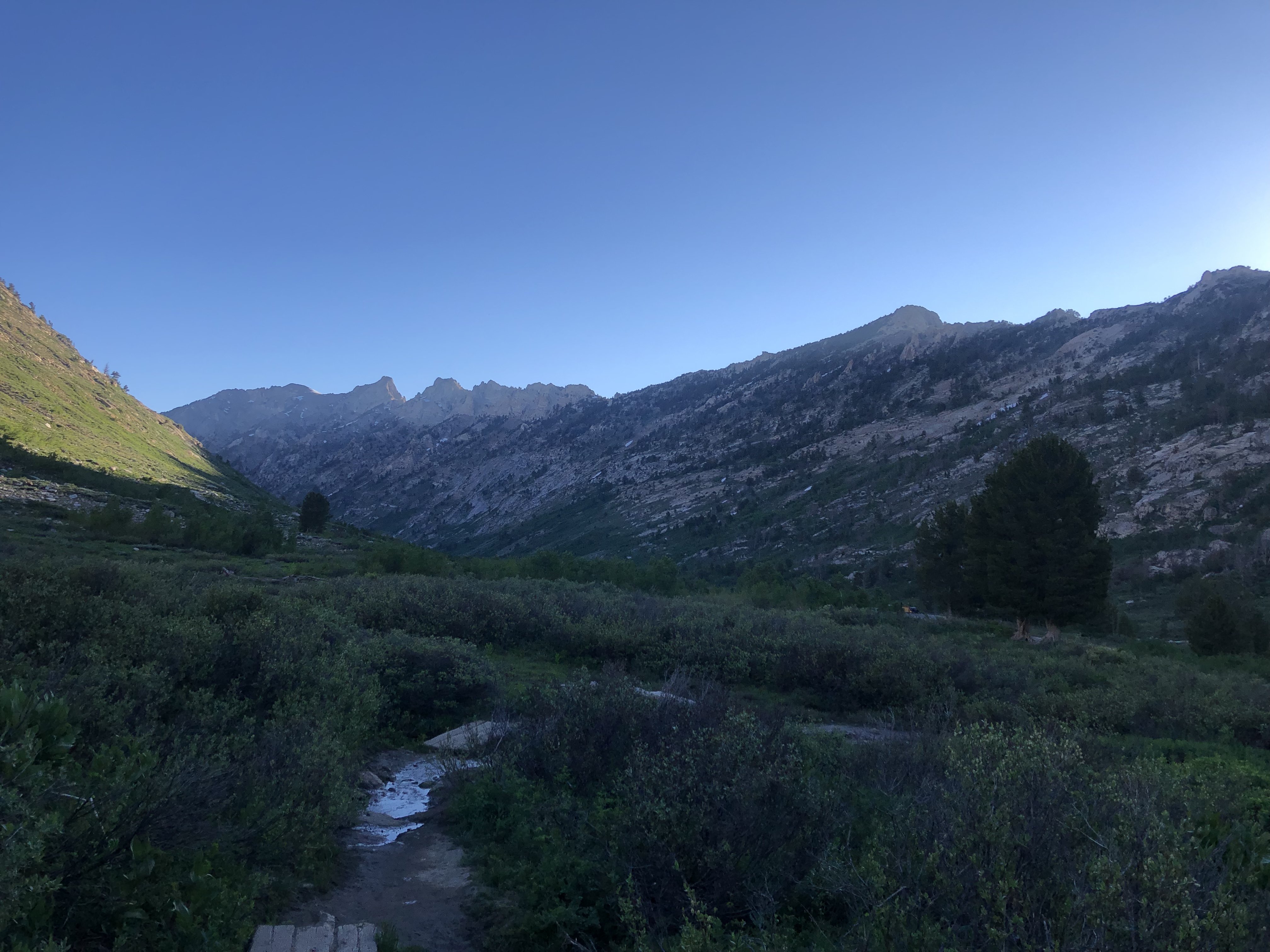
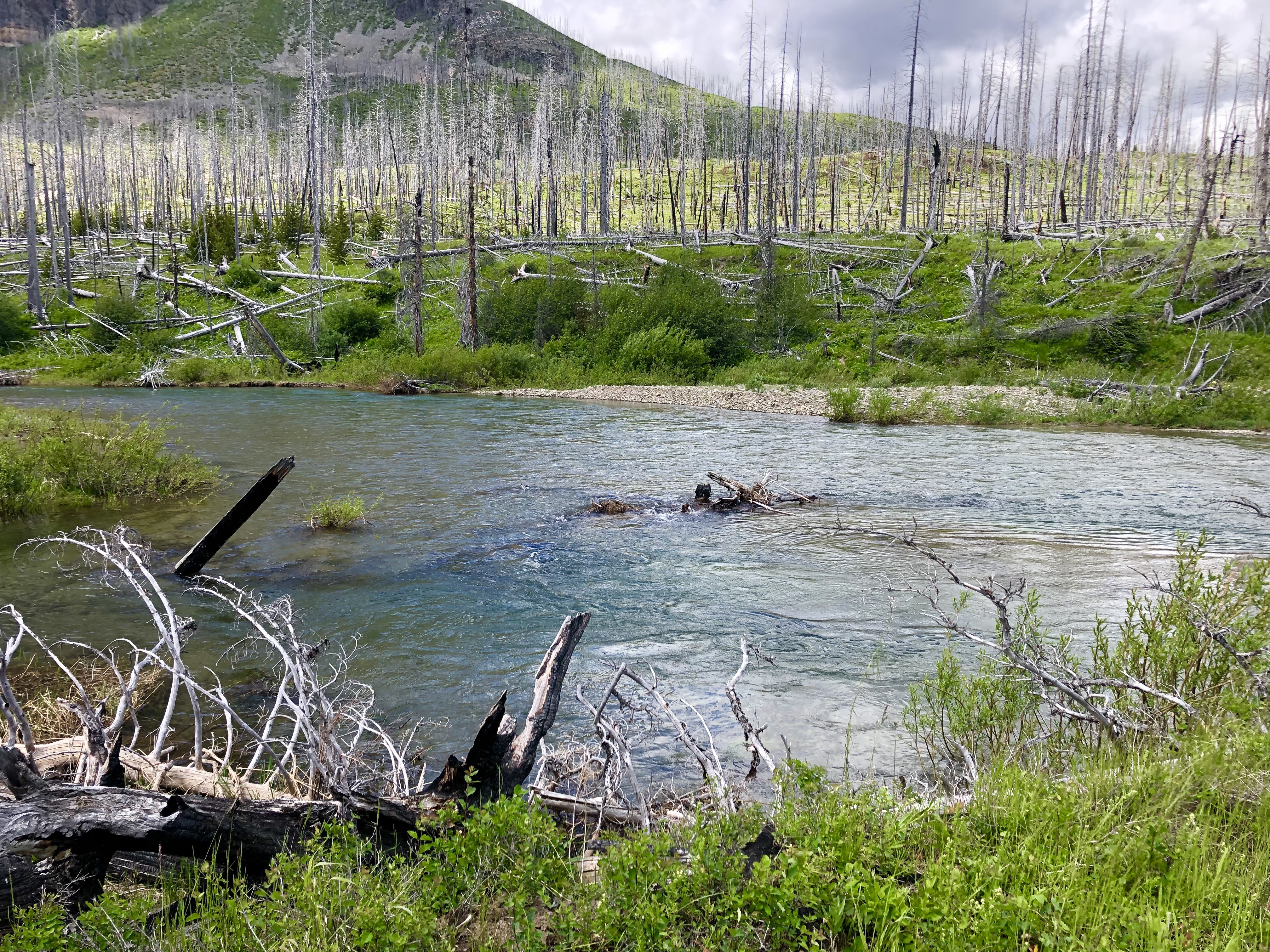
I met Meagan and Francisco at the cafe for breakfast and coffee, then we brought our stuff down to meet our guides and head out for the Lemosho gate, which is about a 2.5 hour drive from Moshi. Once we got off the main highway to Arusha, the road was nice and there was not as much traffic. Everything was so green and lush, and there were lots of farms. Most people in this area are farmers; they grow corn, beans, coffee, potatoes, veggies, just about everything.
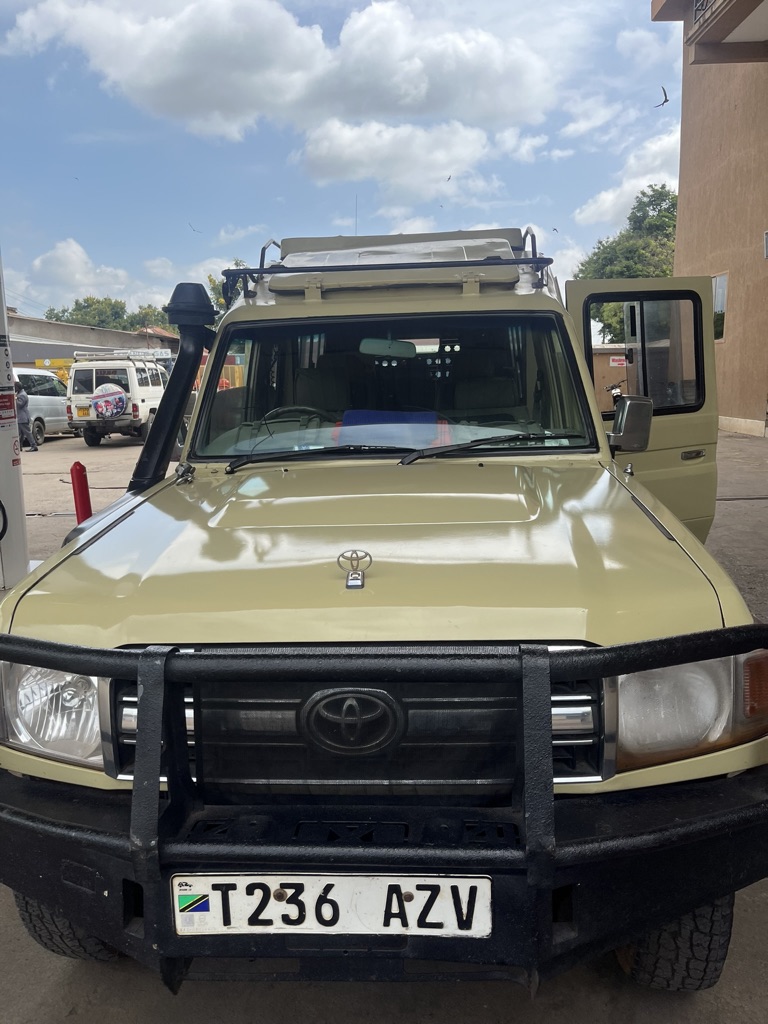
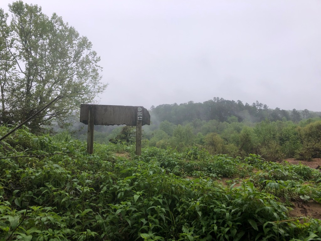
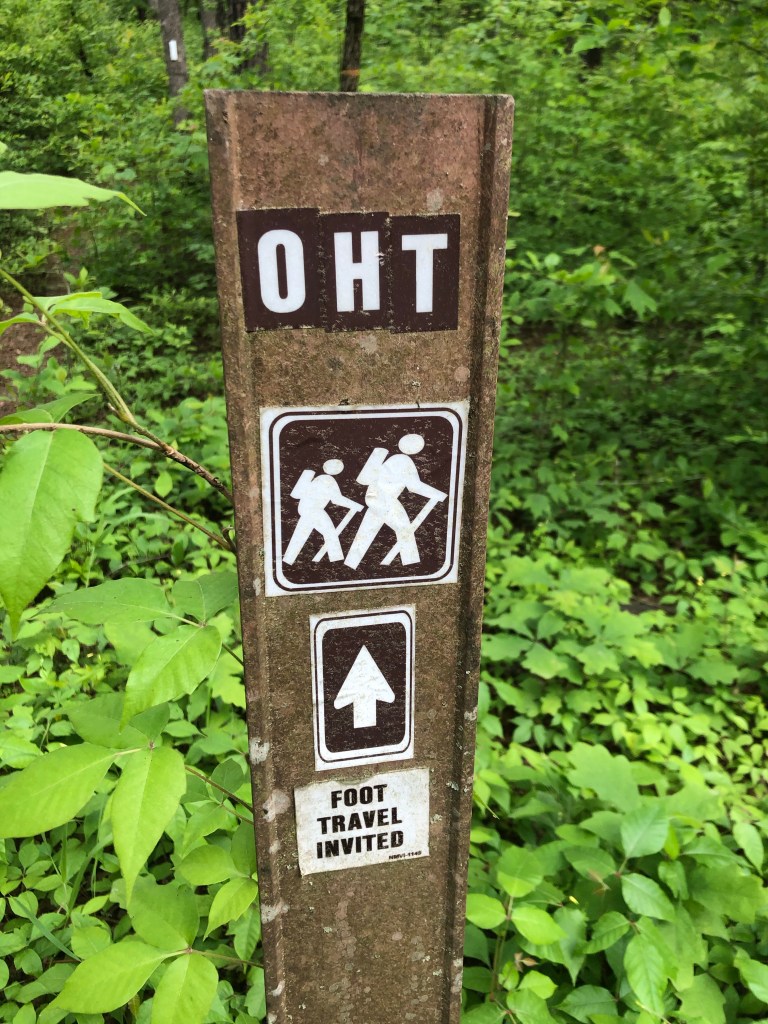
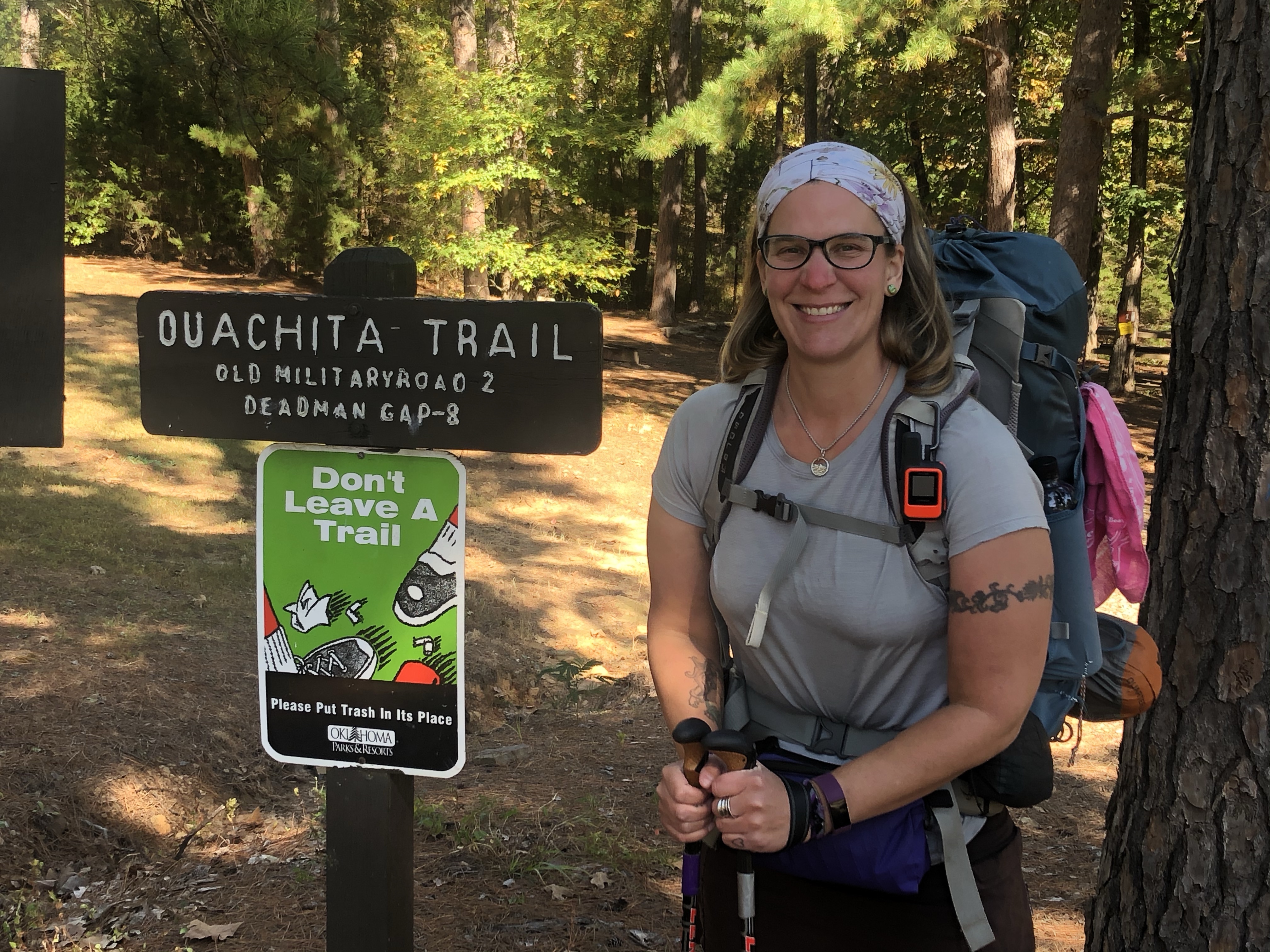
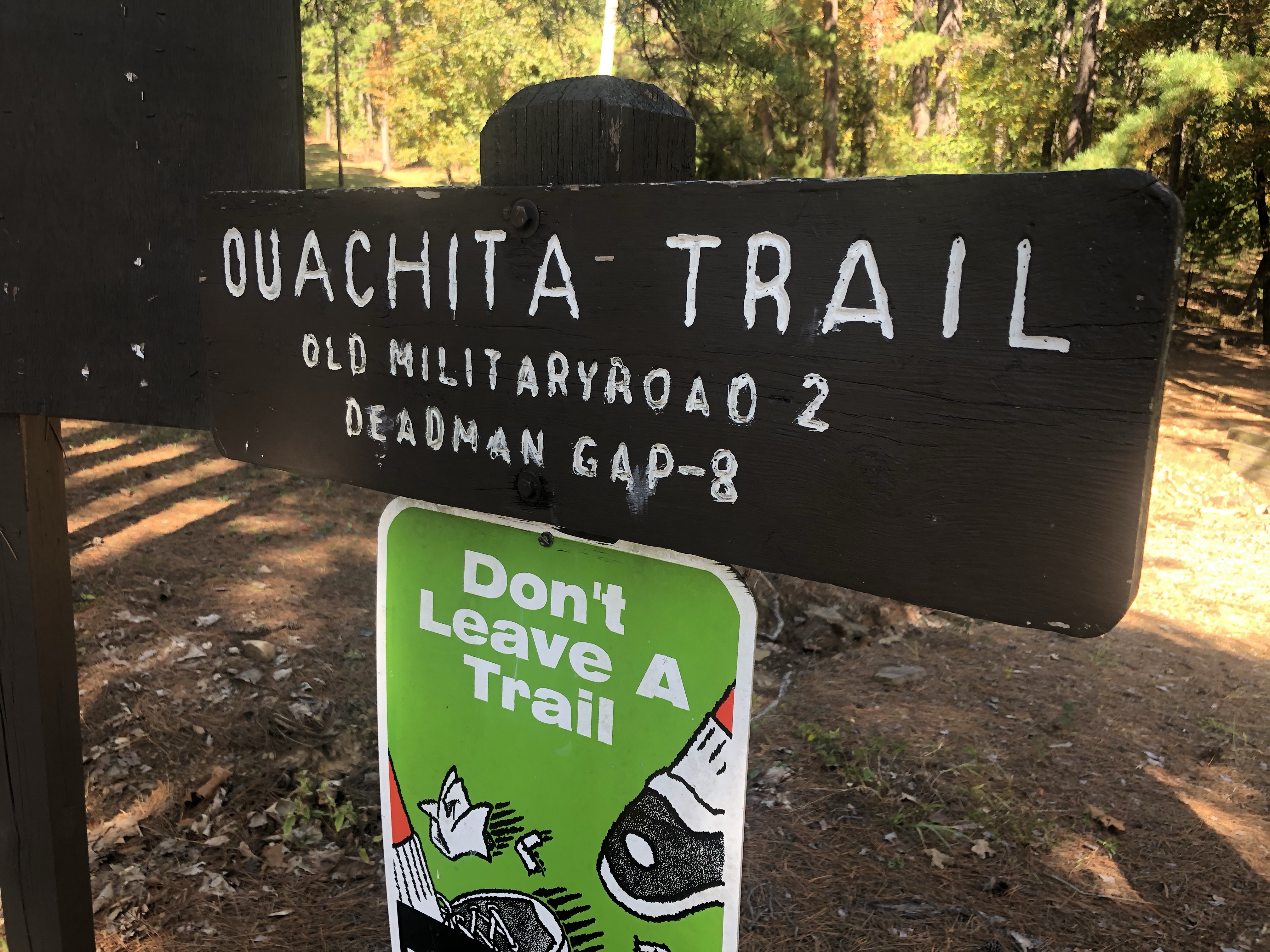
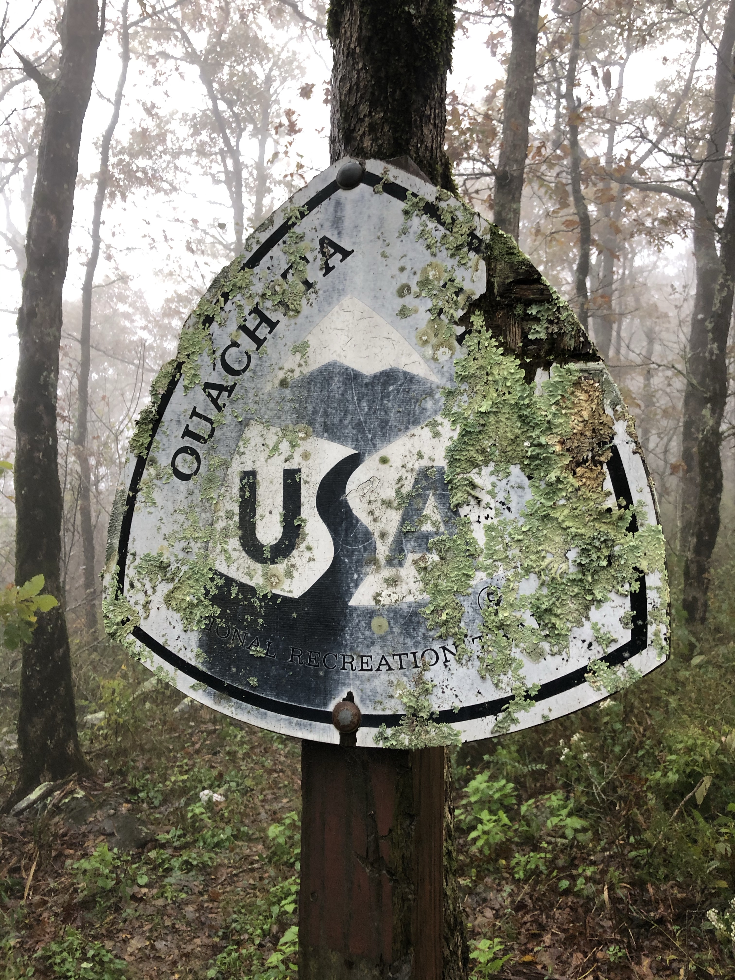
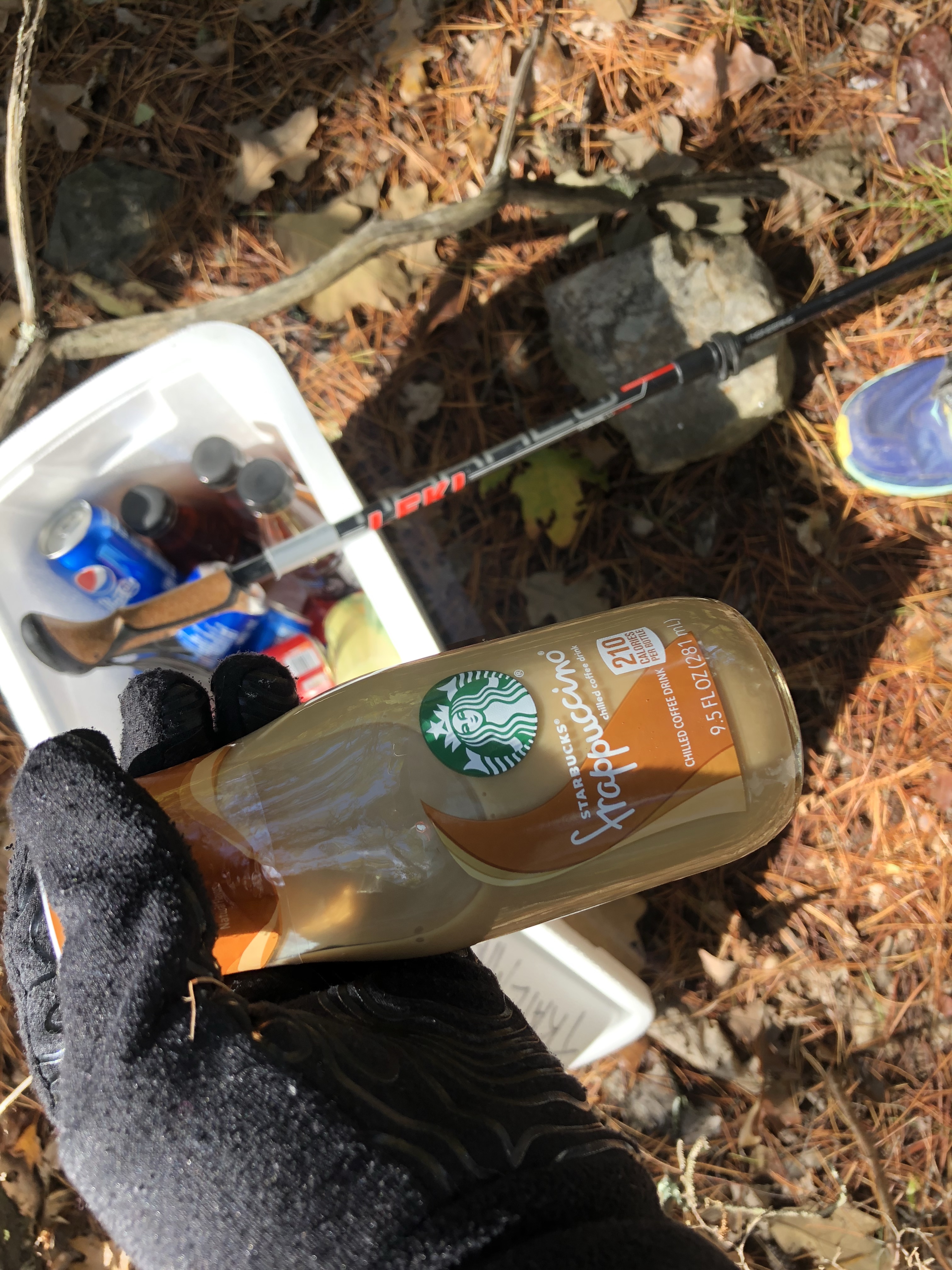
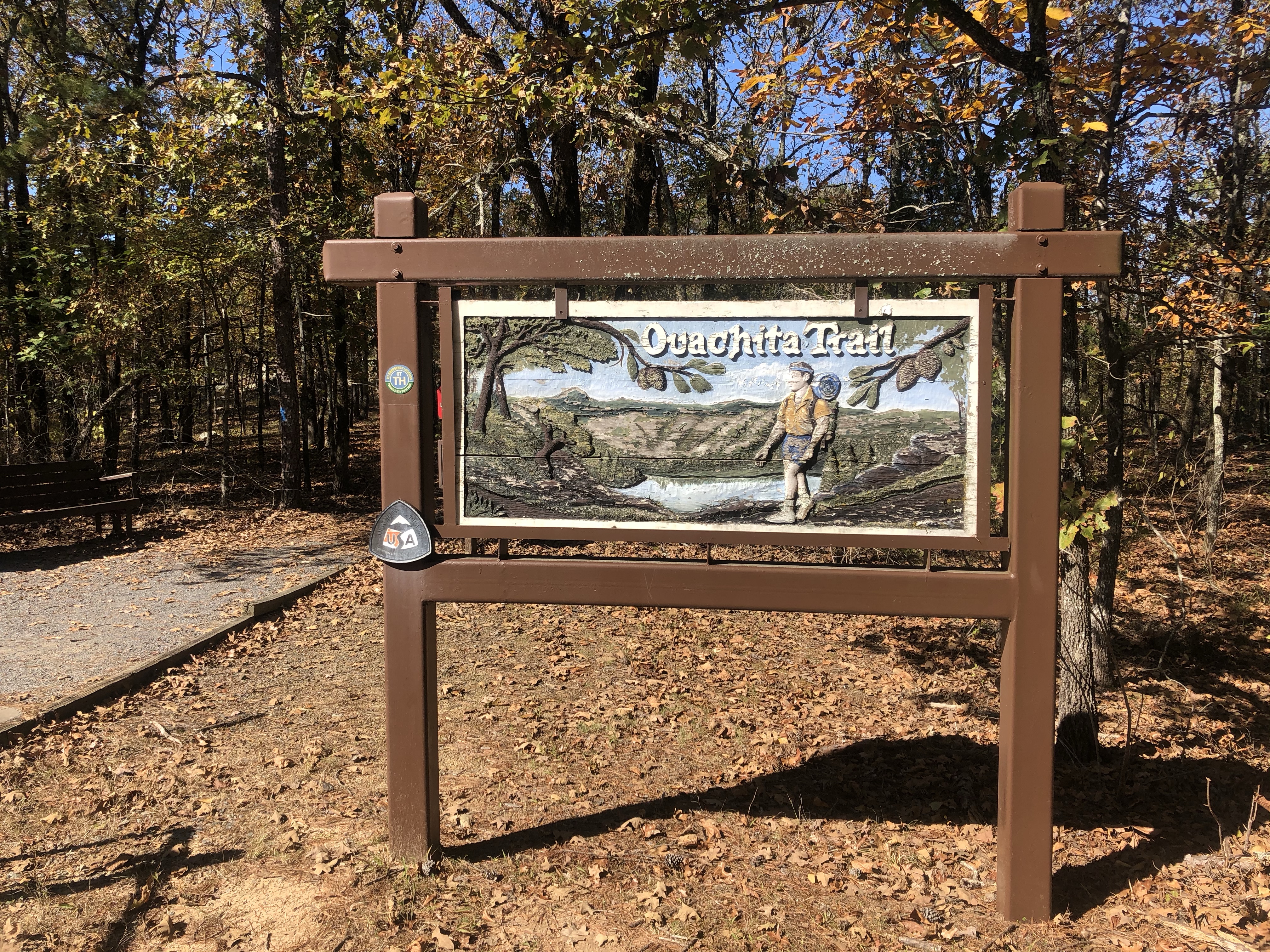
When we turned off the road towards the national park entrance, we saw a baboon! Our first wildlife sighting. The jungle at this point is thick, but the government clears sections of it for farmers to work, as long as they plant trees as well. When the trees get big, the farmers move to another plot. We made another turn and Leo told Fredrick to stop, and a man ran over to our jeep from another jeep parked on the side of the road. Leo explained that this guy was our permit person, and he had our permits, so we needed to bring him to the gate with us. Once we got permit things taken care of, we parked at the gate and waited for Leo and Fredrick at a picnic area, where lunch was set out for us. I was really impressed! We would eat well on this adventure.

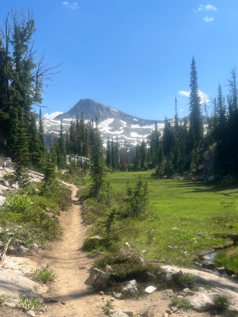
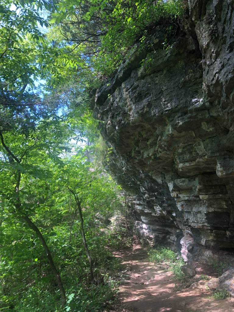
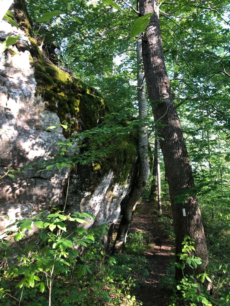
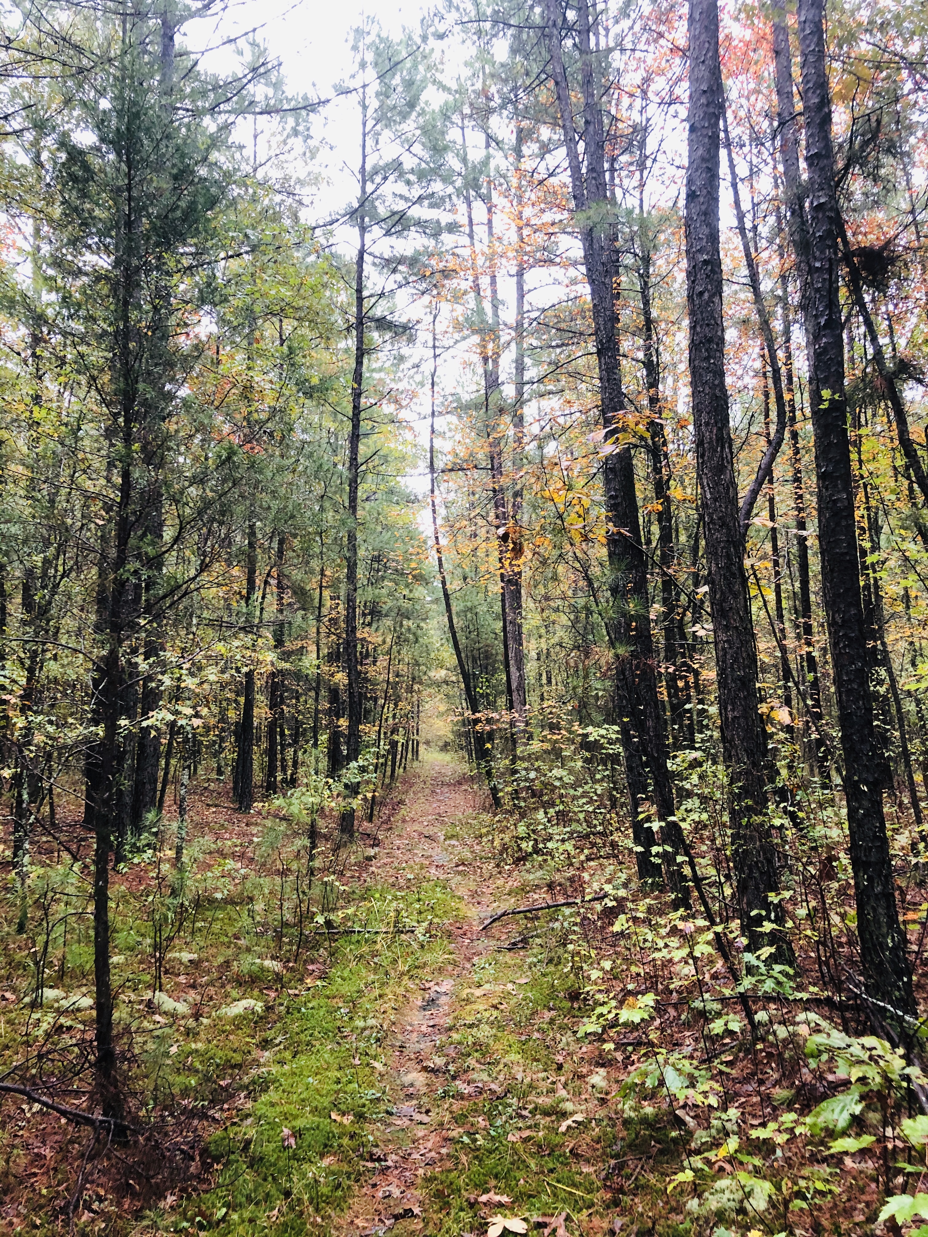
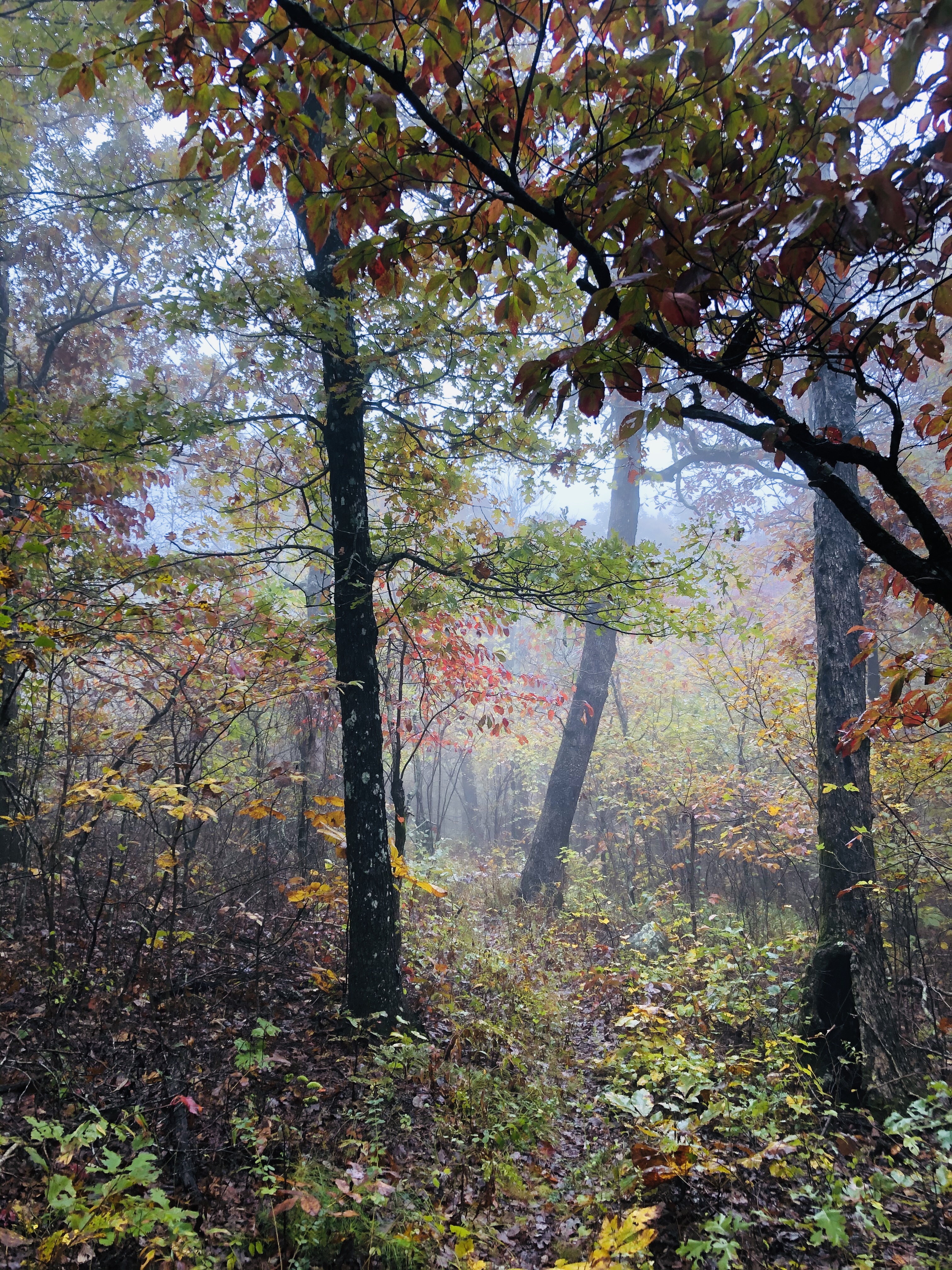
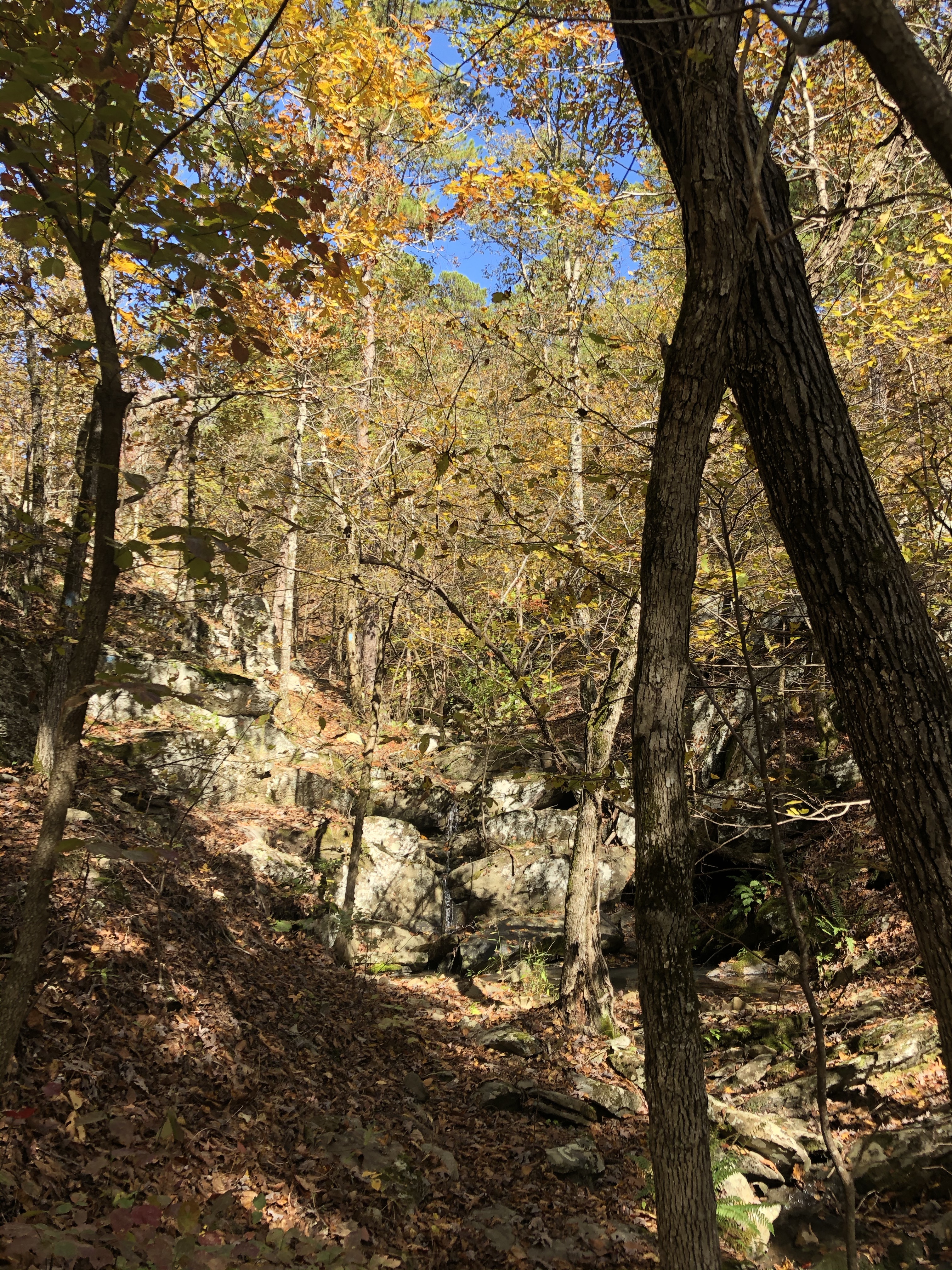
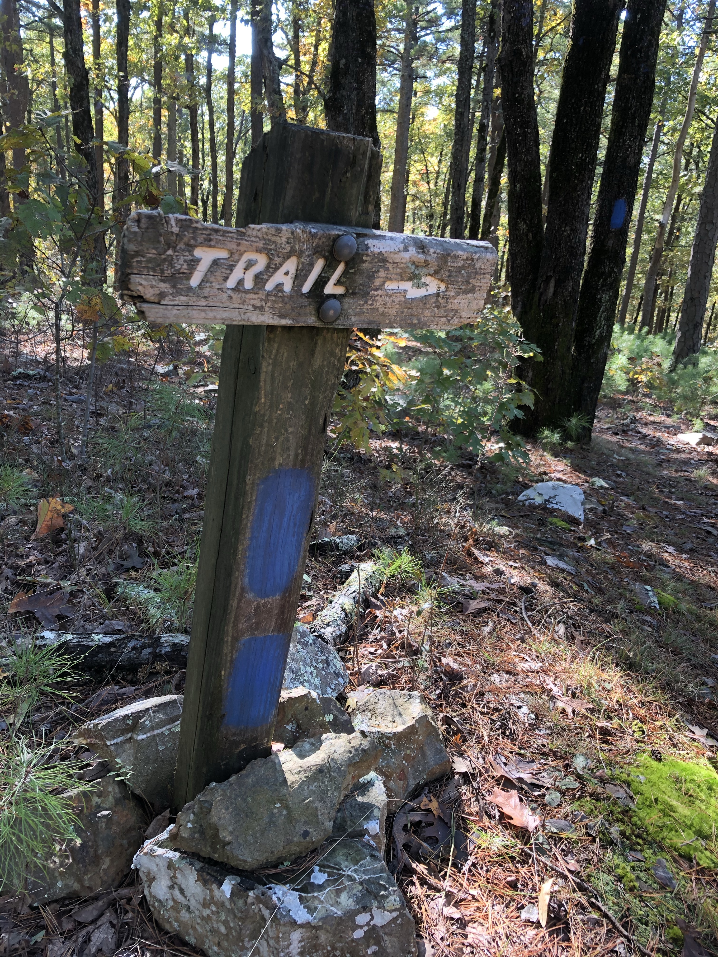
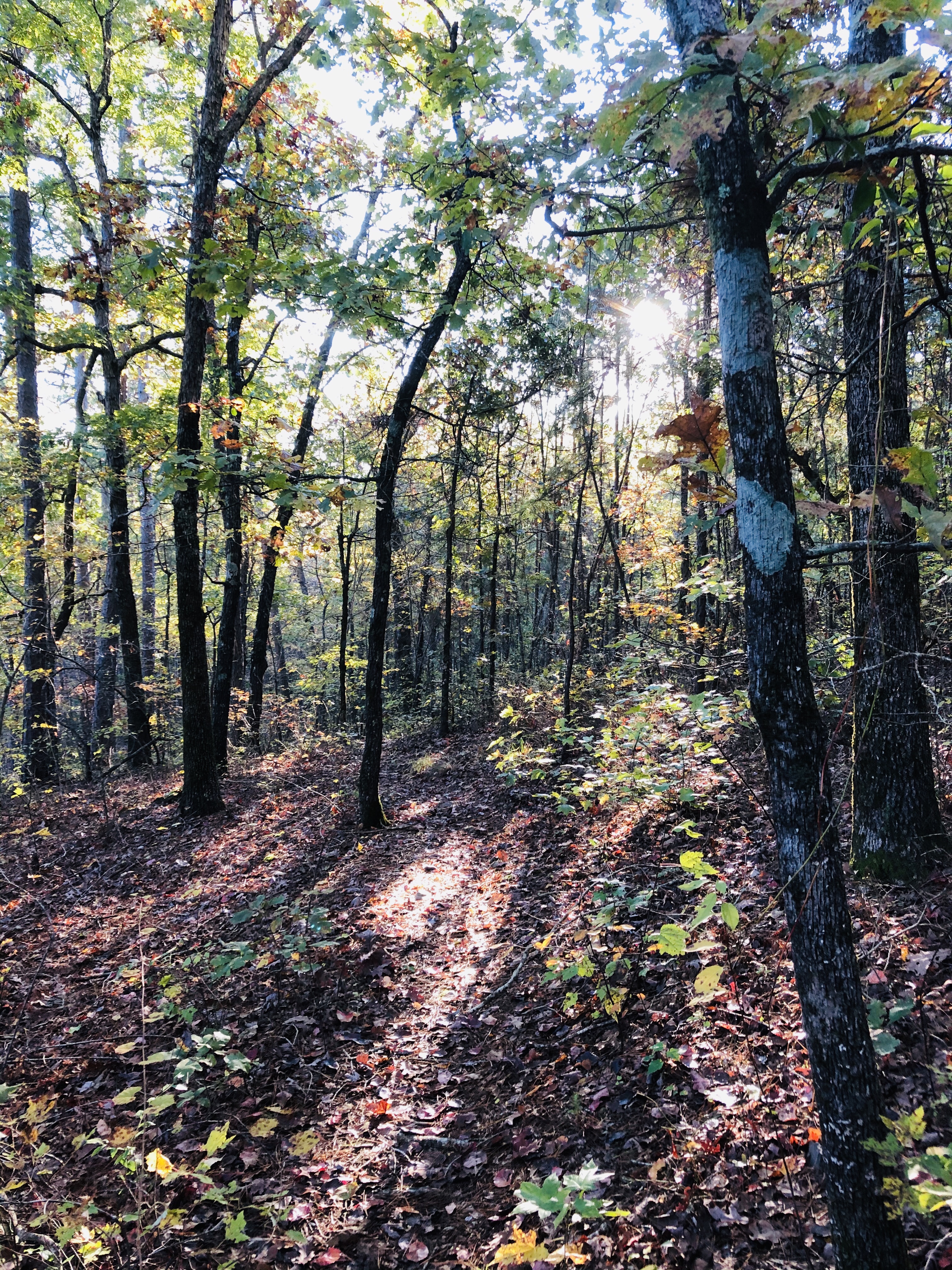
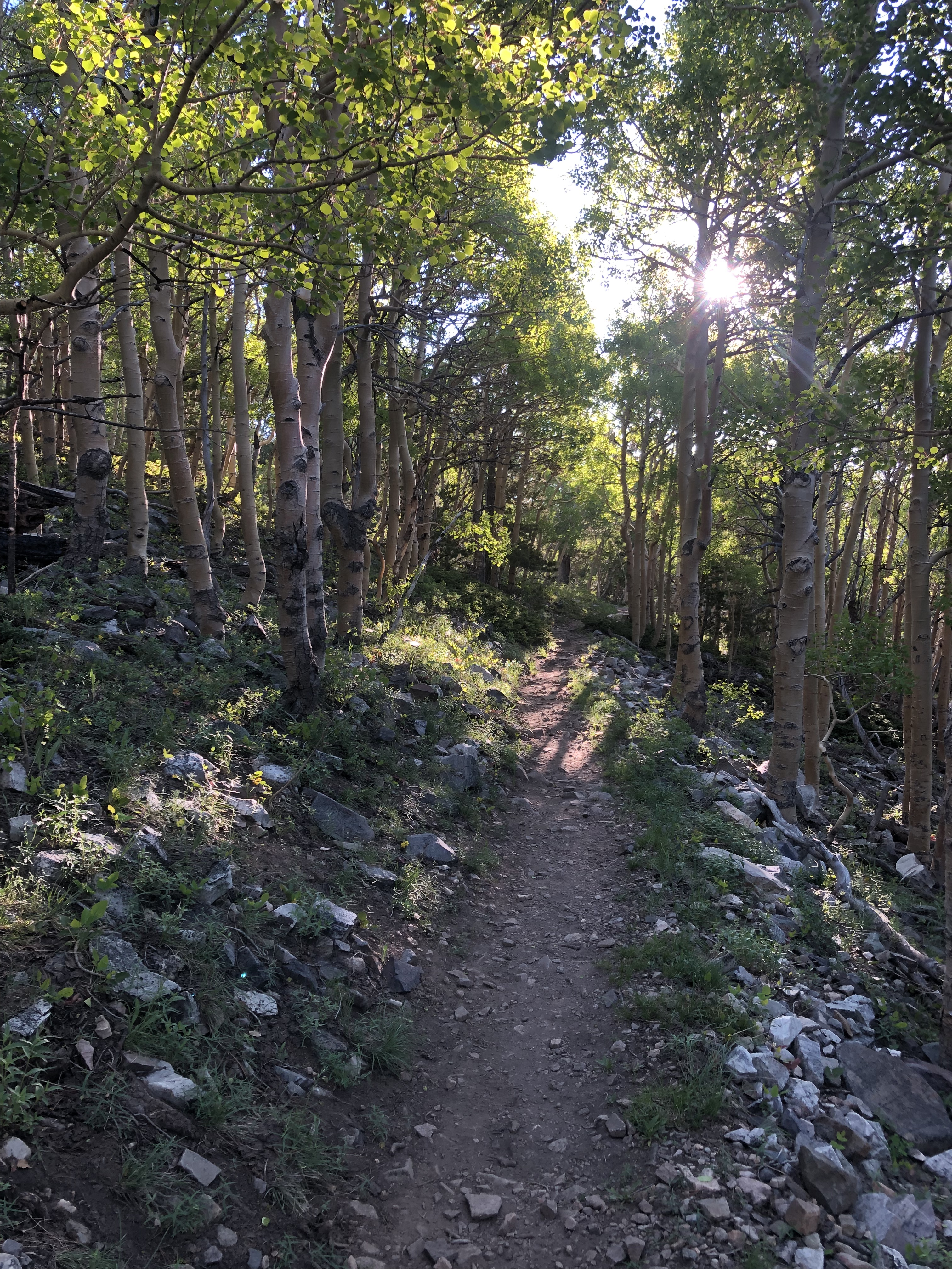
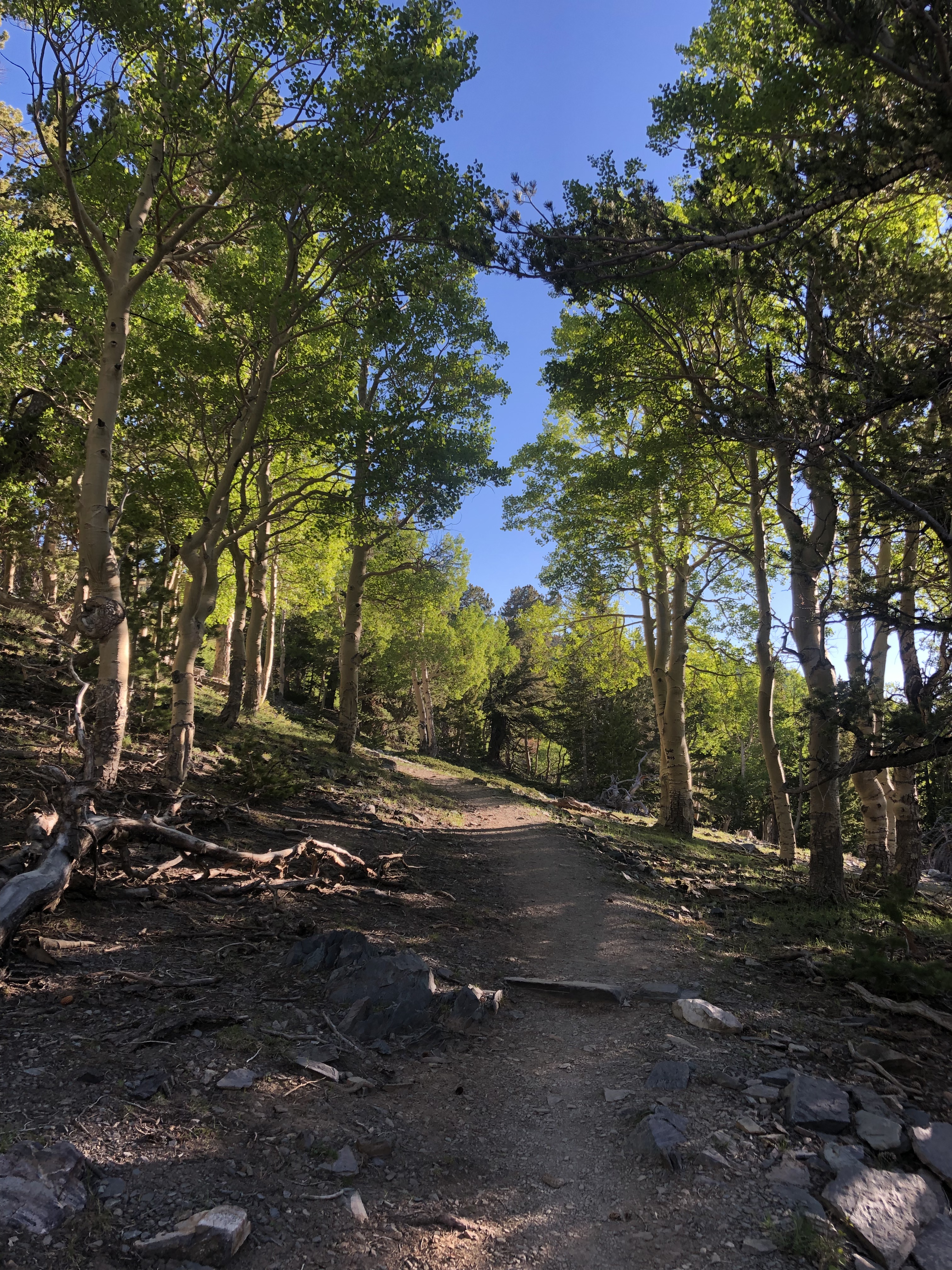
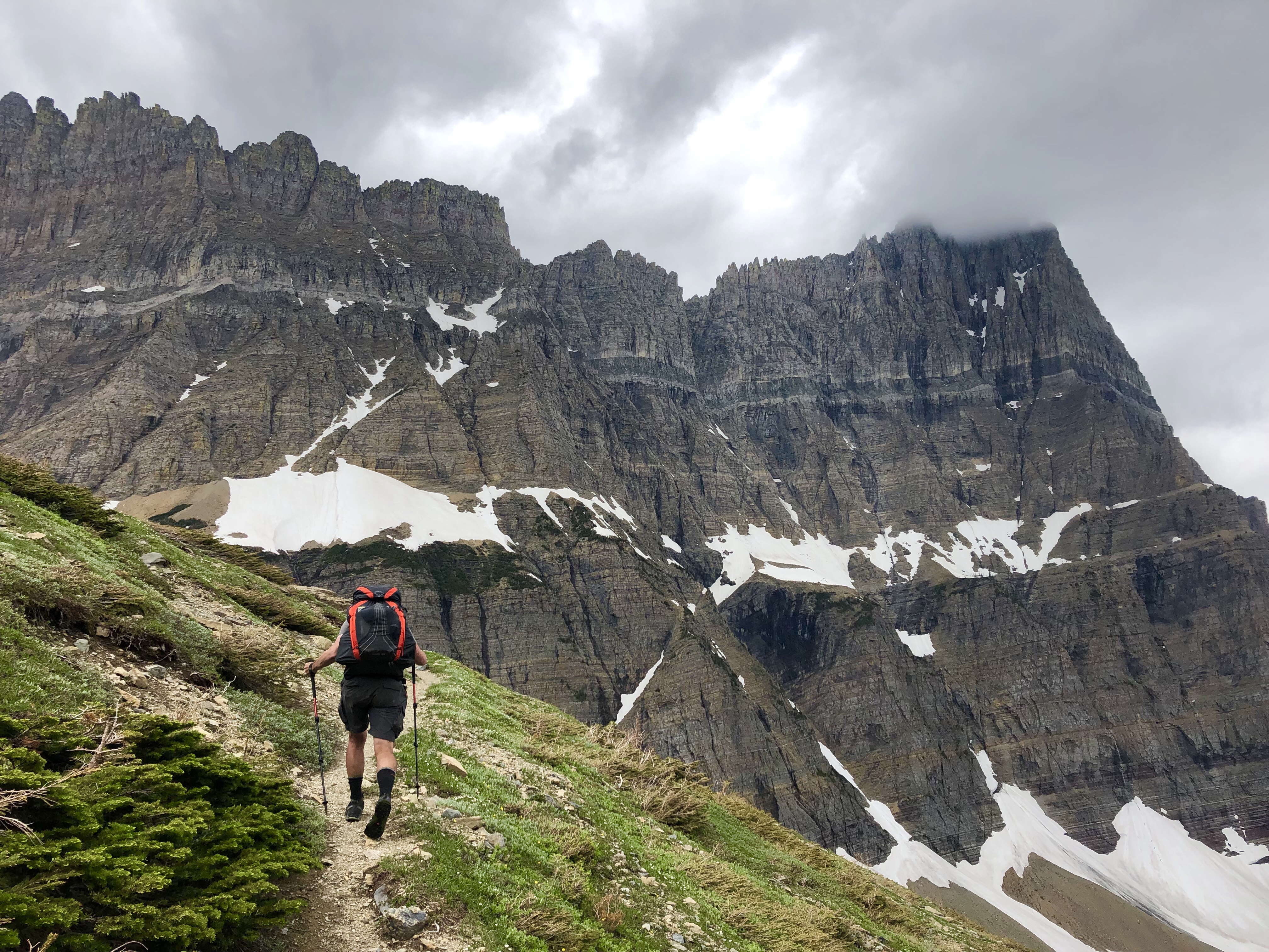
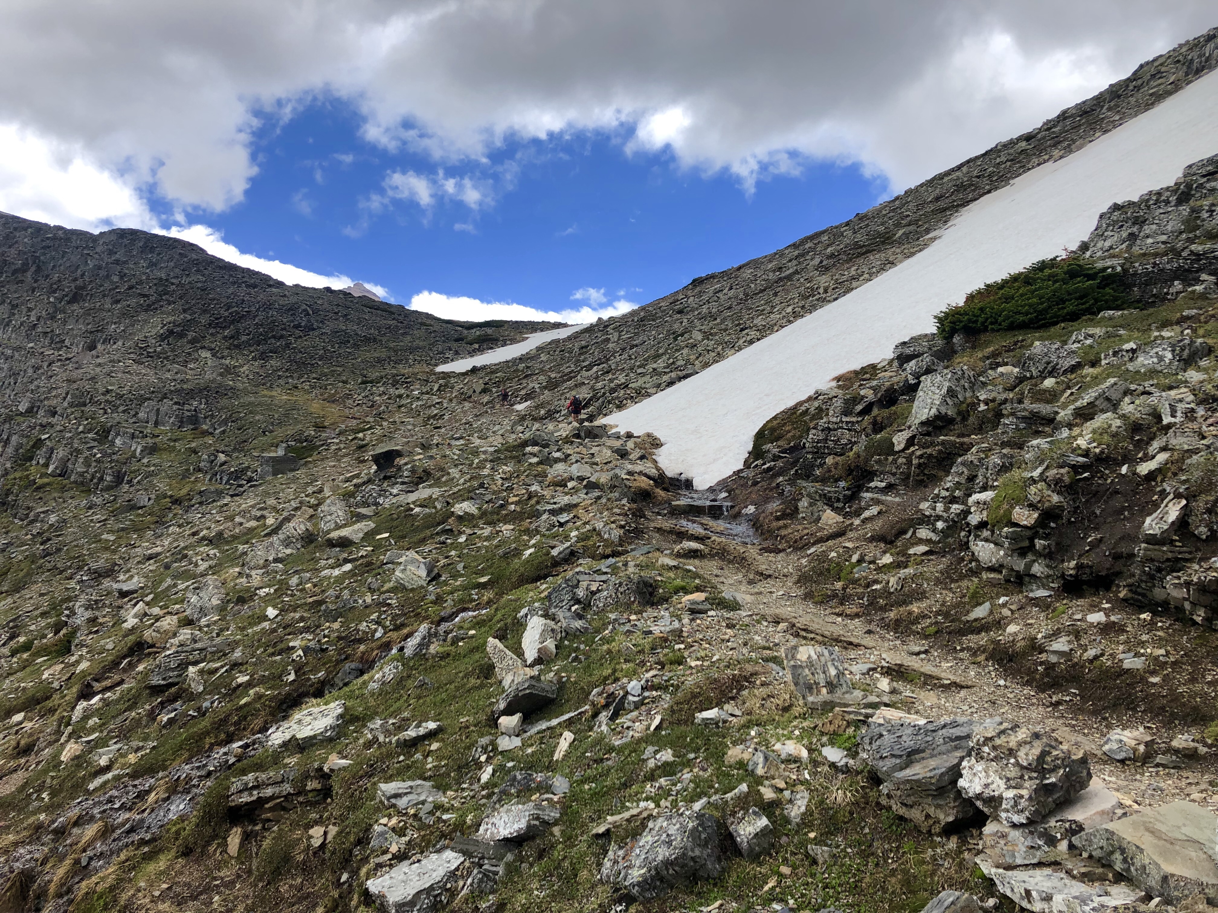
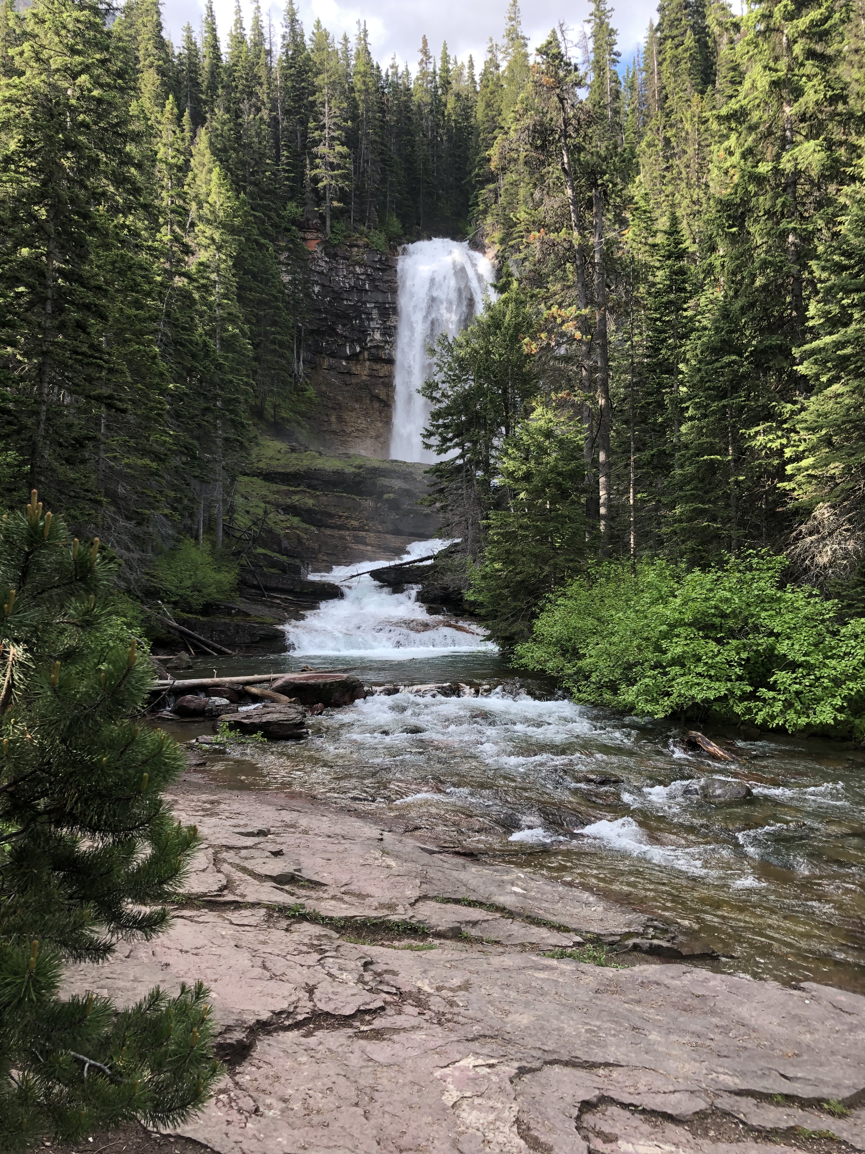
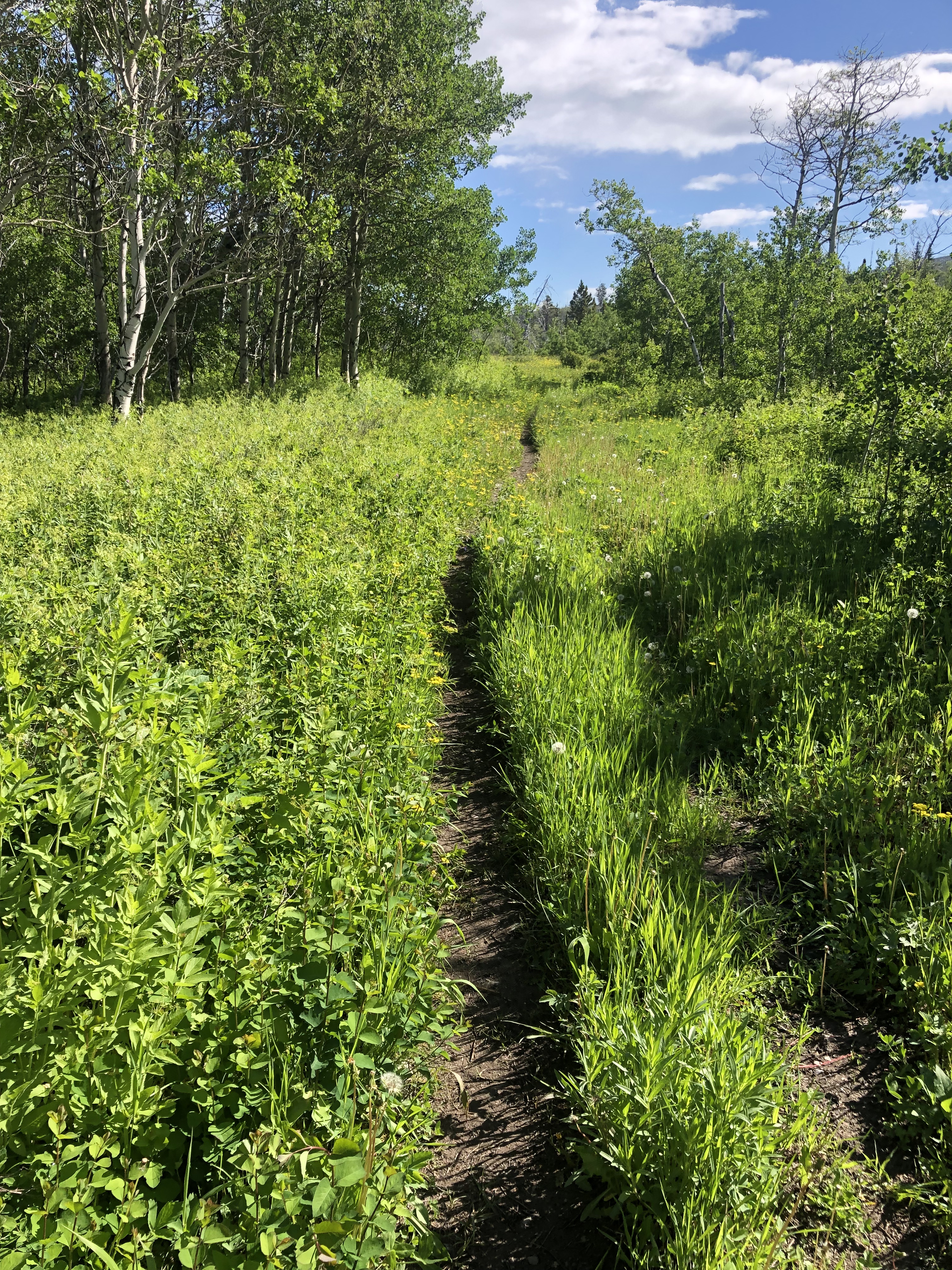
After lunch we got started and Fredrick led us up into the jungle at a nice slow pace. Pole pole means “slow slow” in kiswahili, and it soon became our team name and our unofficial motto.


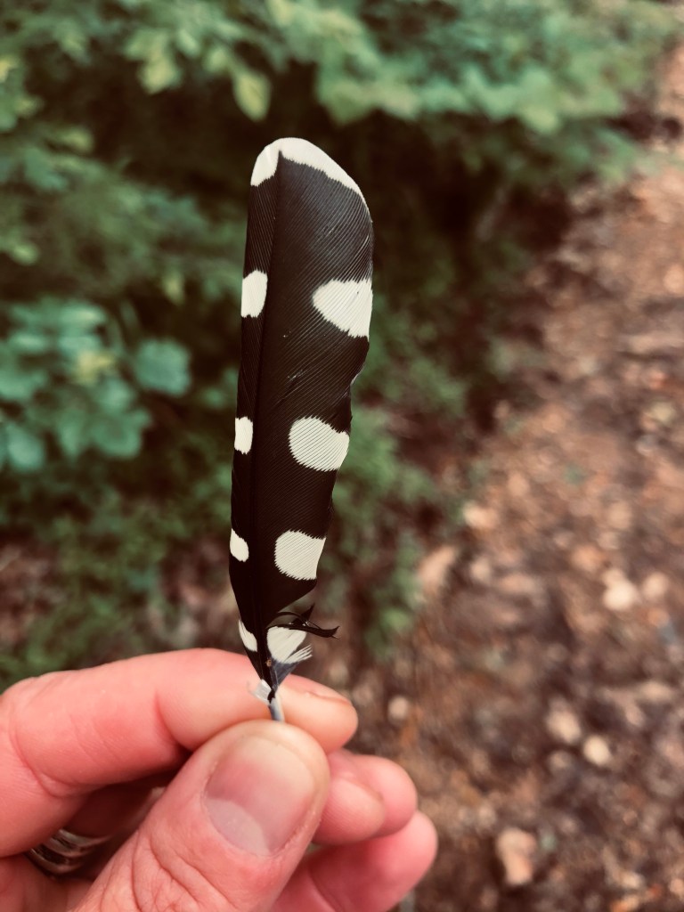
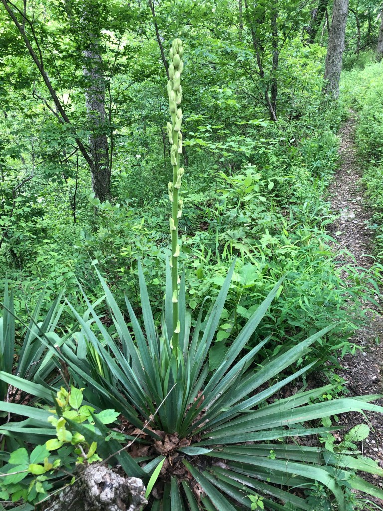
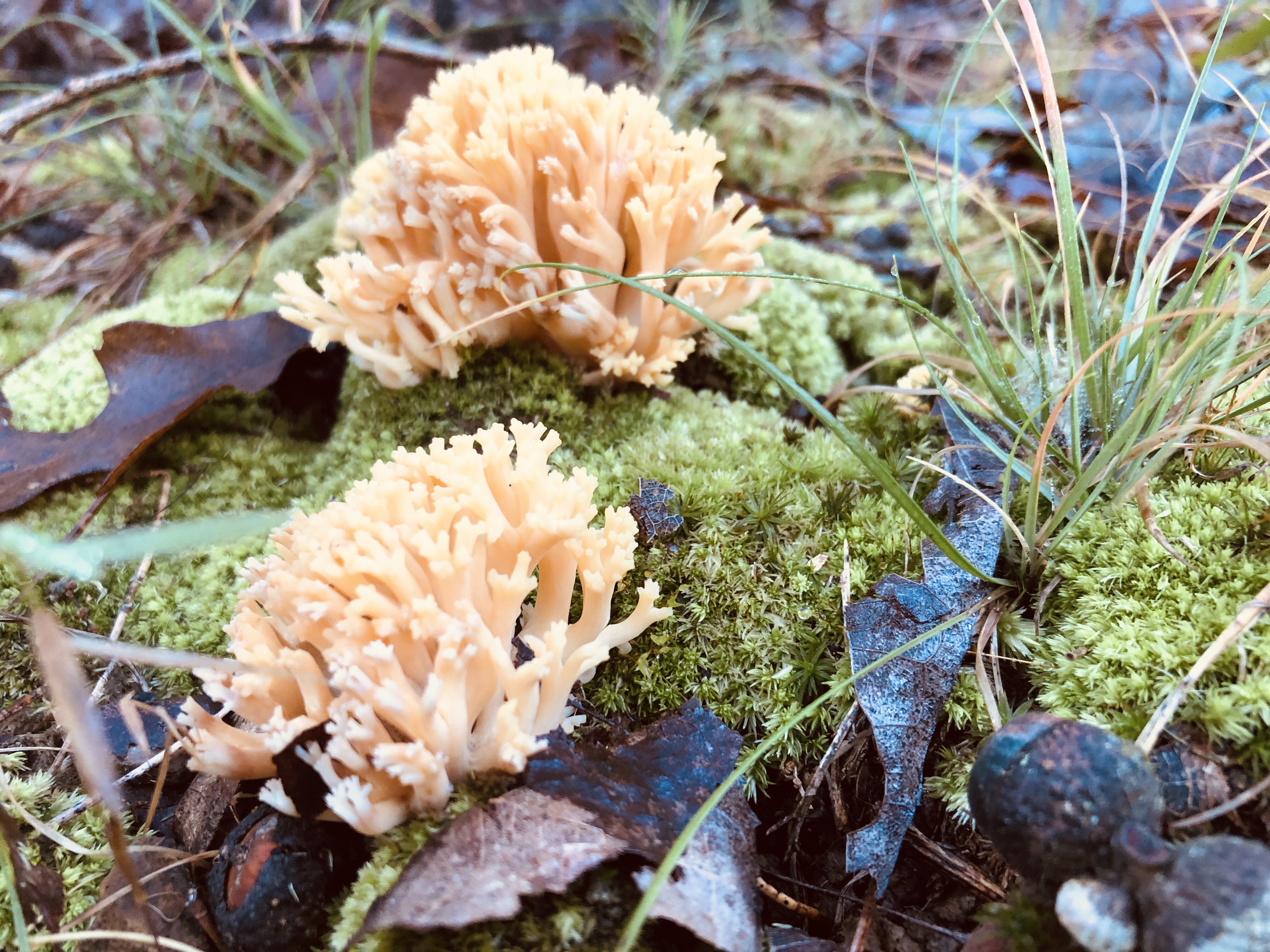
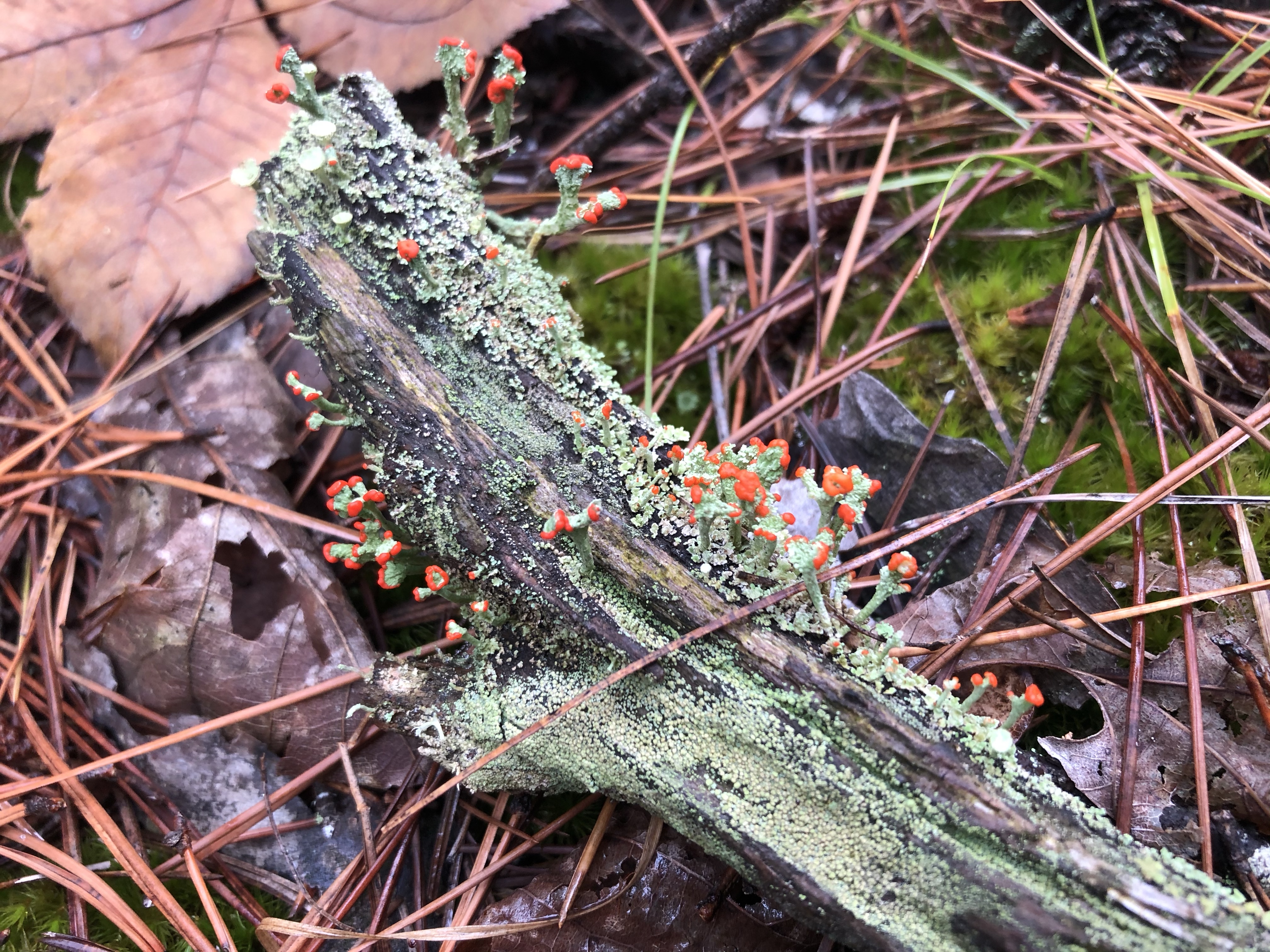
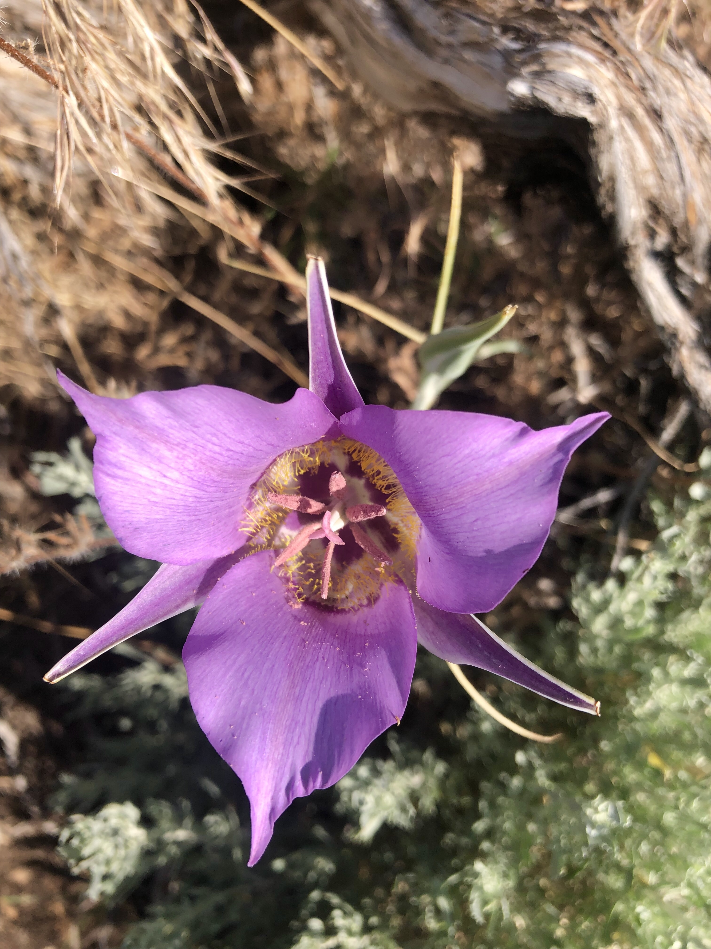
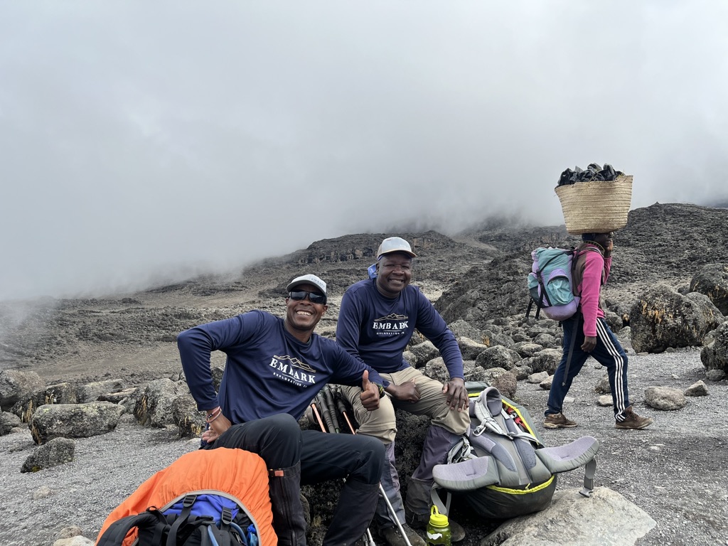
The trail was a consistent uphill and we saw lots of birds, including the beautiful turocco, which I still cannot find in my birding books. We saw blue monkeys, Black and White monkeys, and a hyrax, which is kind of like a giant pika. Leo pointed out different flowers, and knew the scientific names of just about everything we saw. Which is a huge bonus for me, and for my teammates. Fredrick explained that some of the younger guides who did not work their way up the ranks the way Leo and he did (porter, camp set up, server, cook, then guide) don’t necessarily have the kinds of knowledge that they do. Between them, Leo and Fredrick have over 50 years of experience on the mountain. I would later learn more about this.
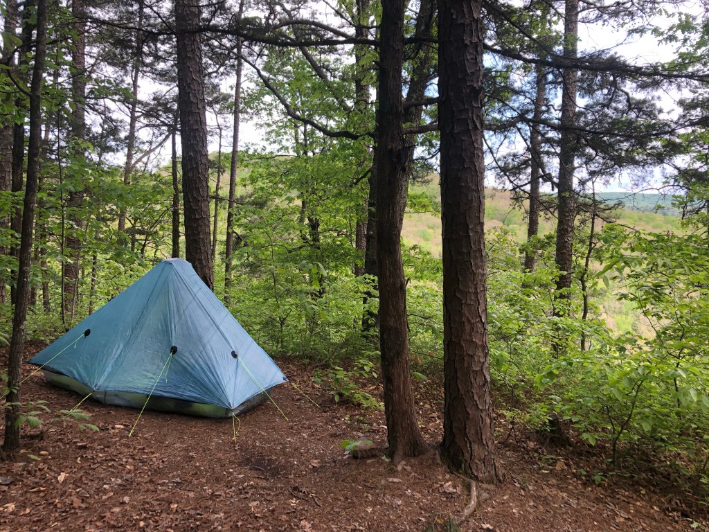
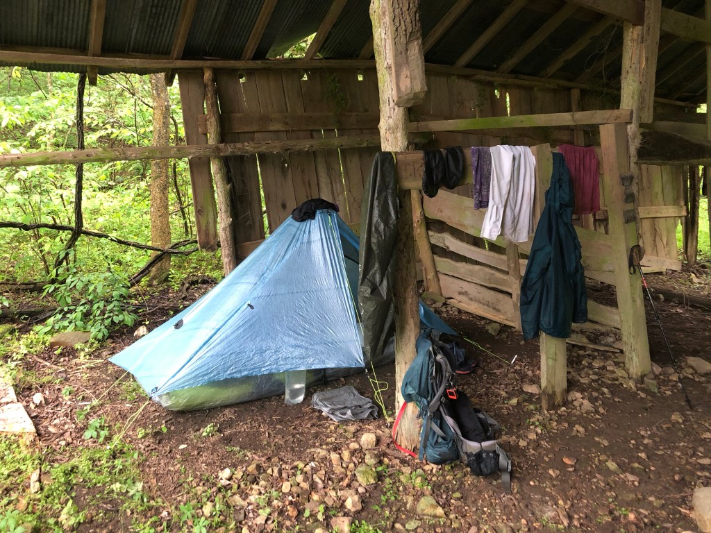
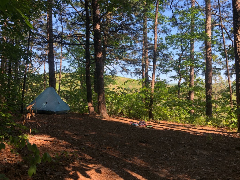
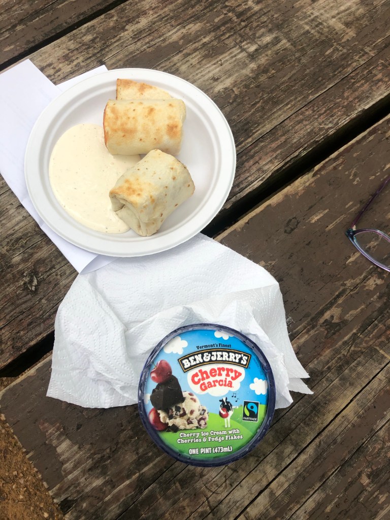
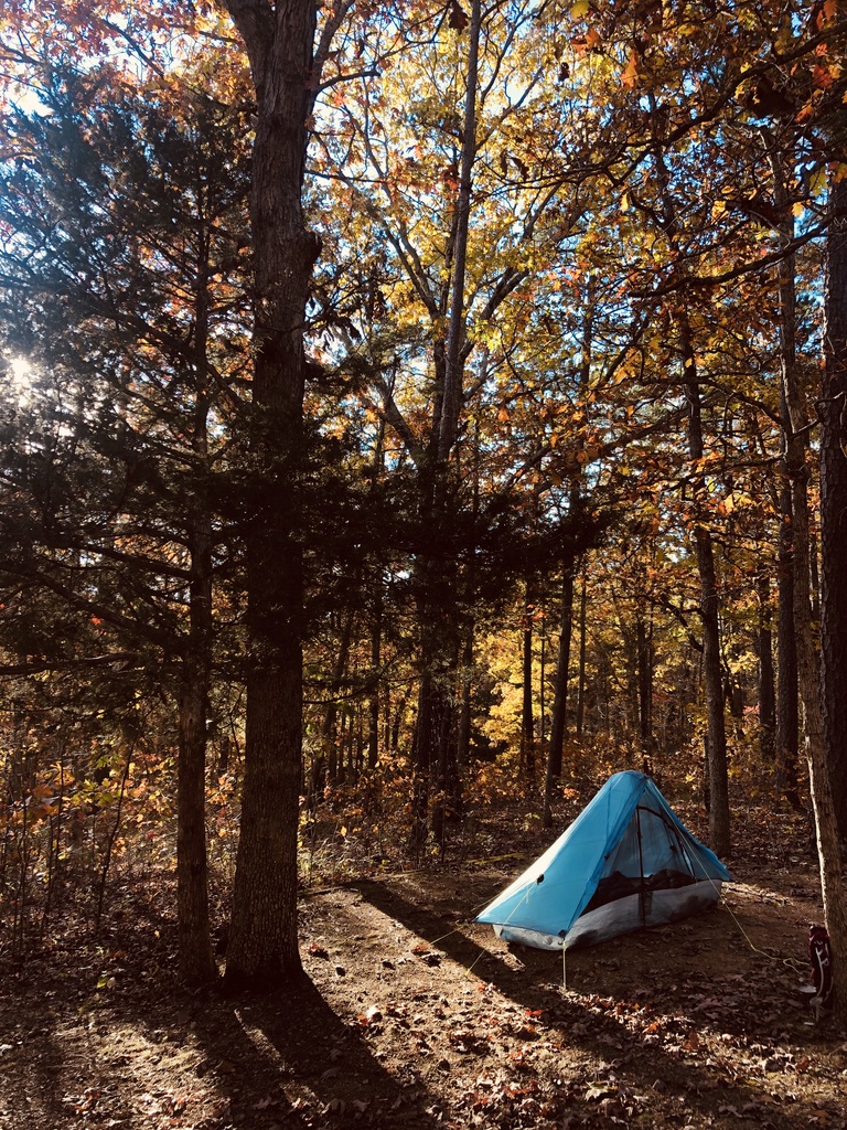
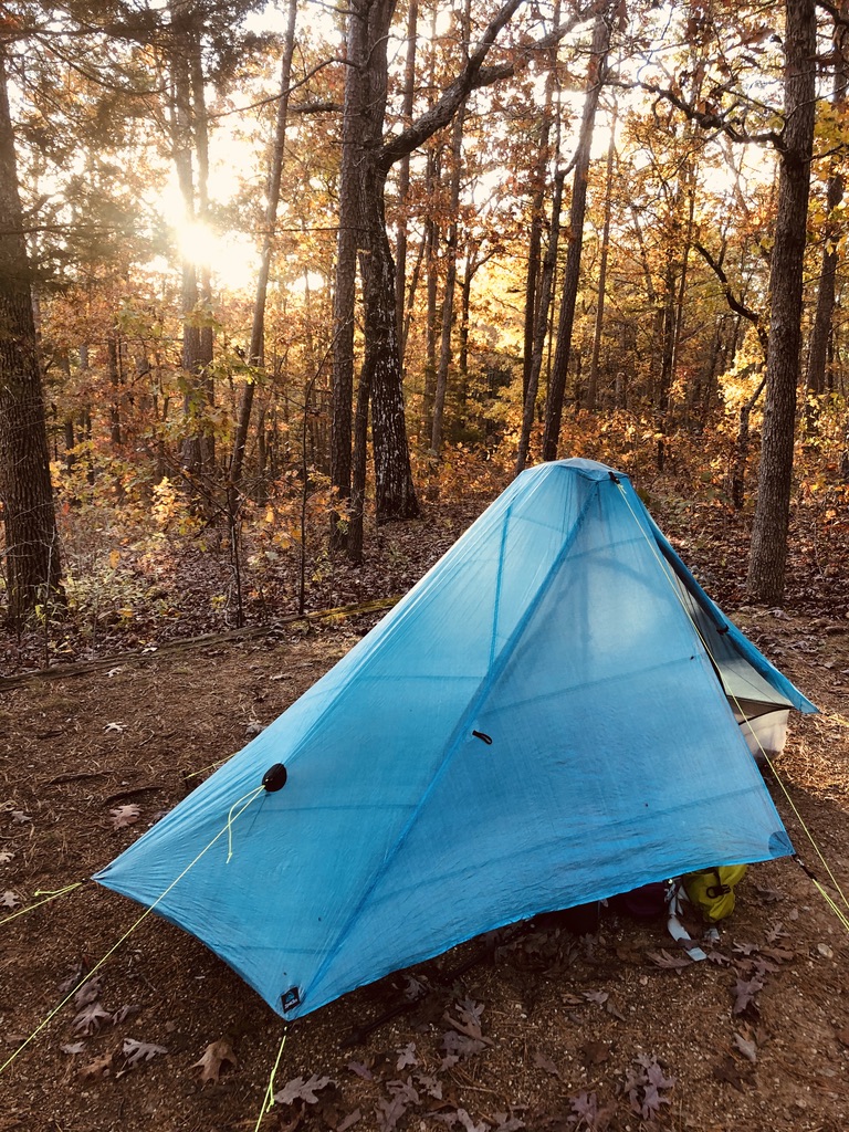
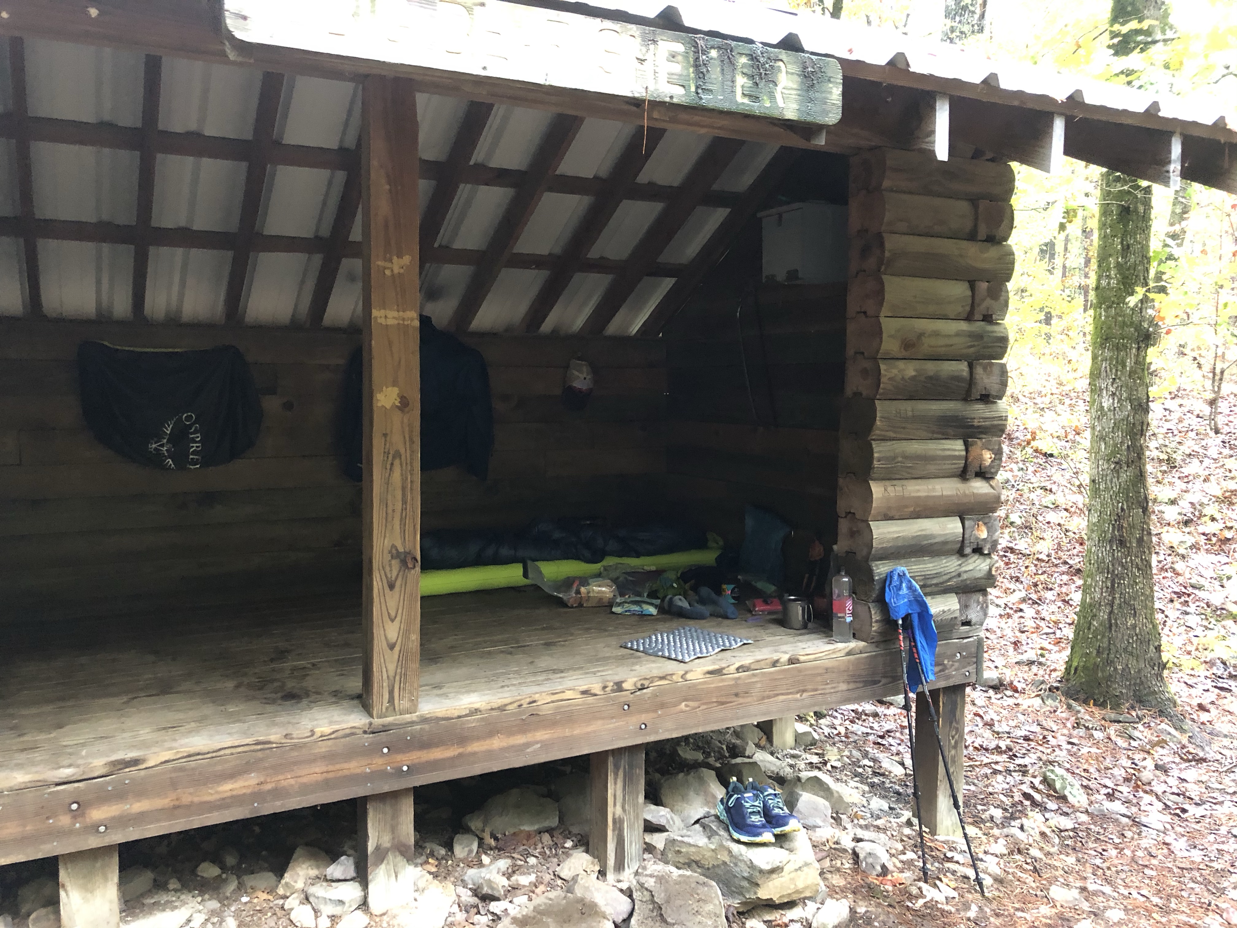
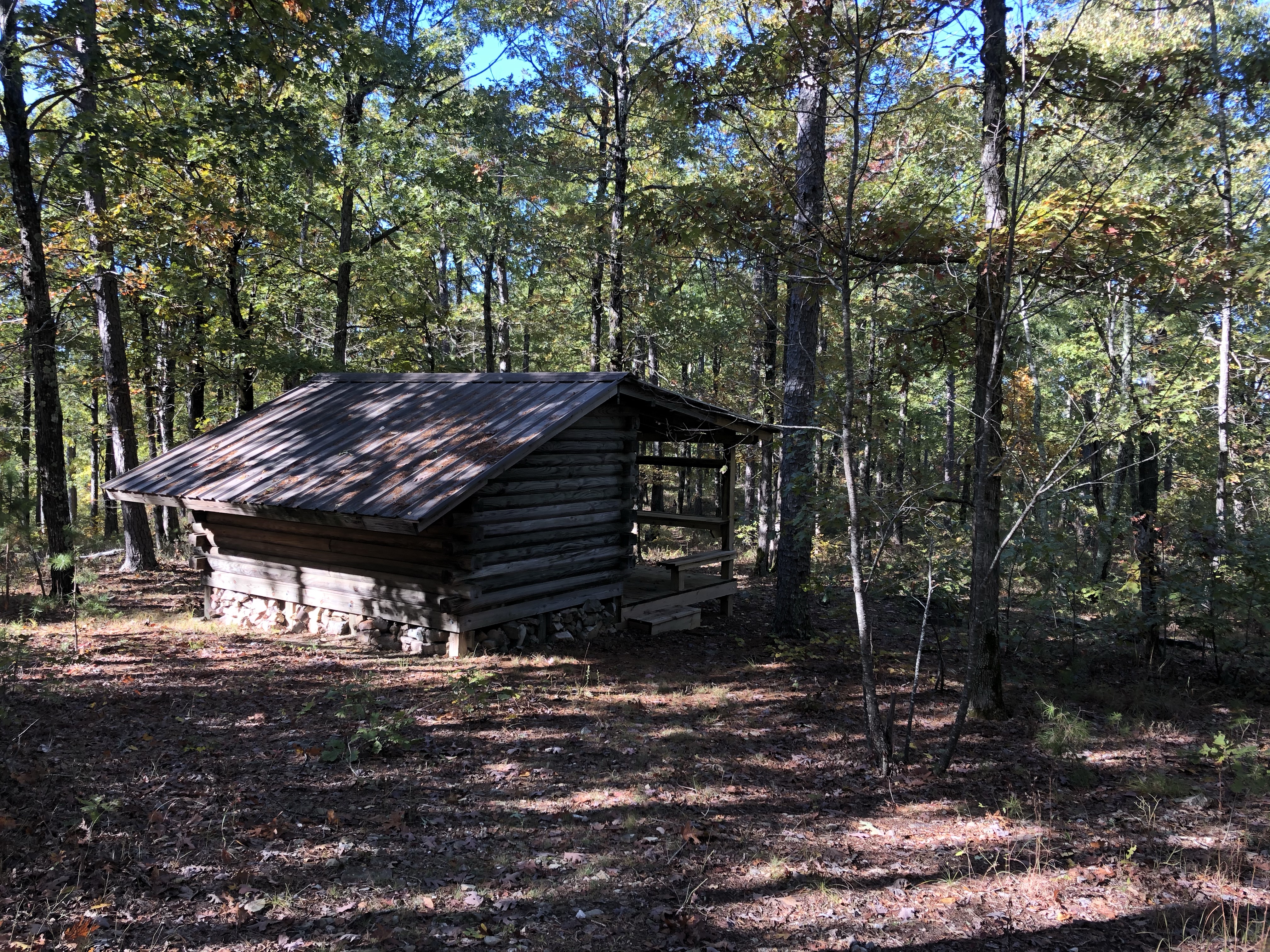
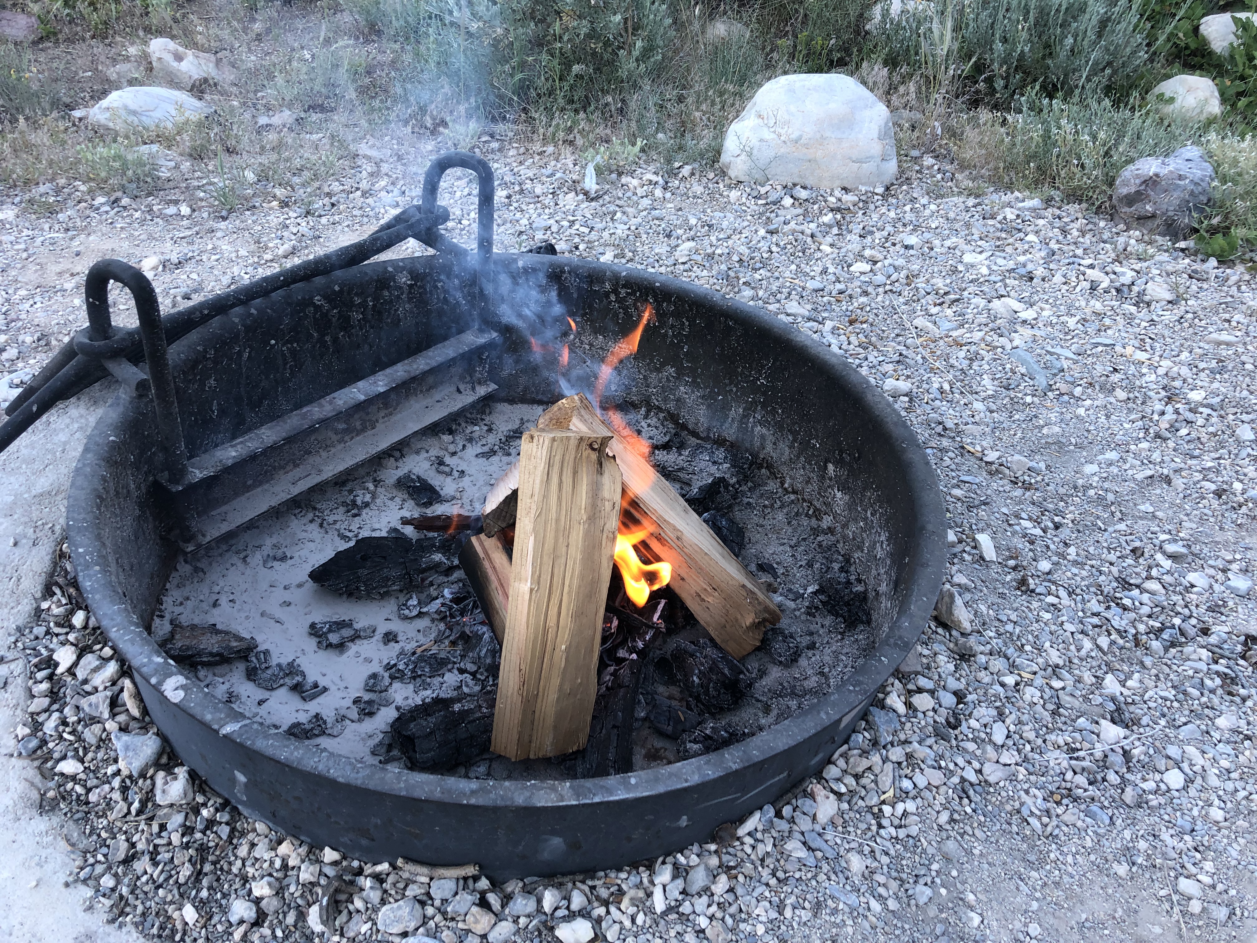
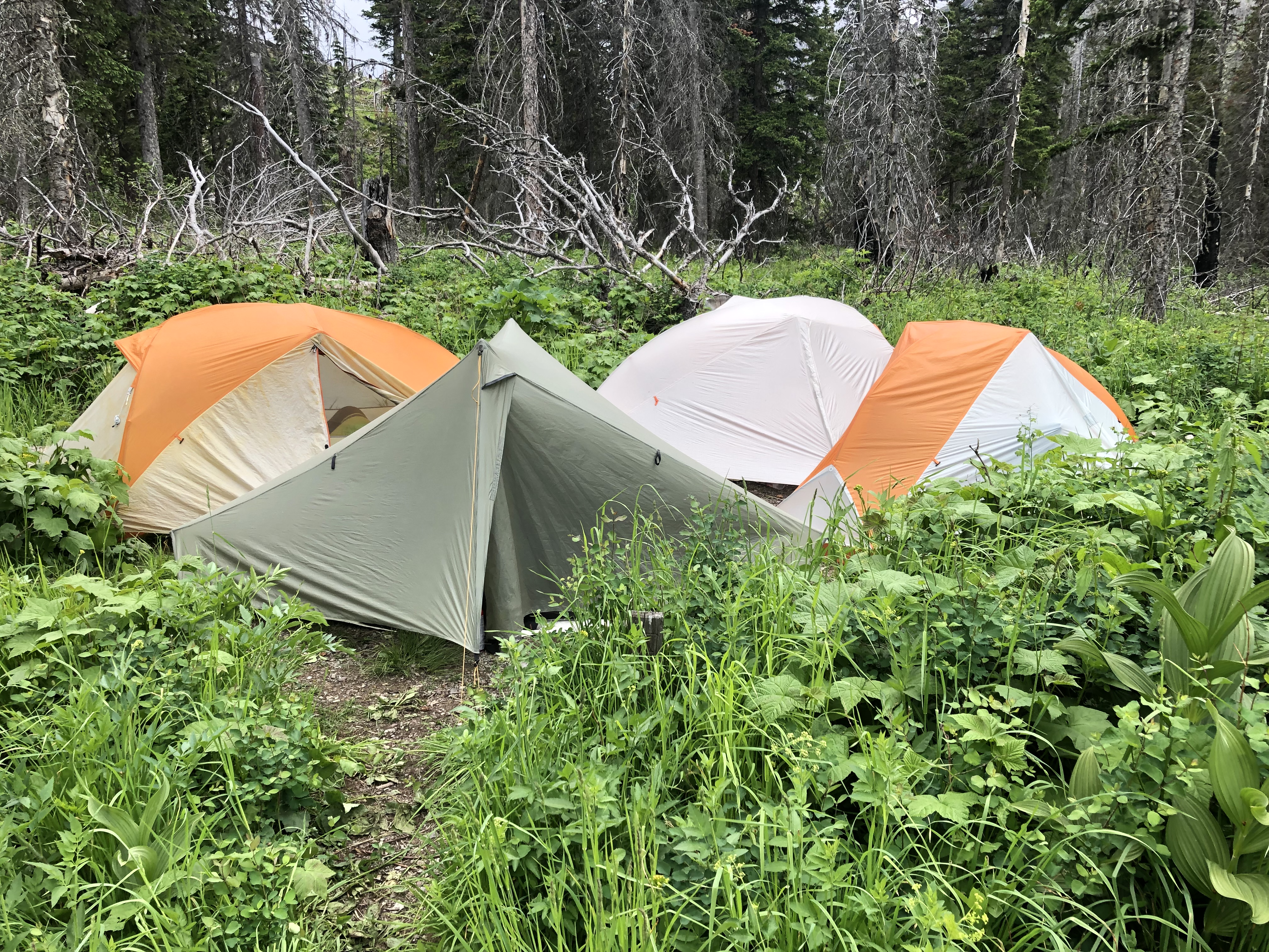
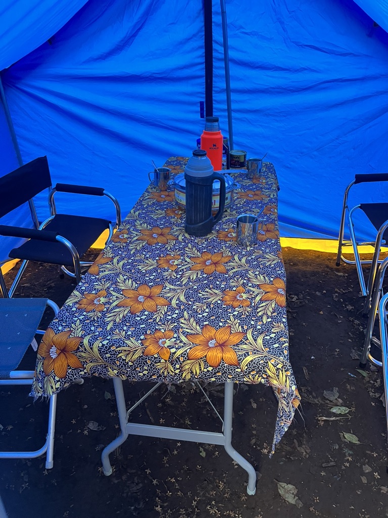
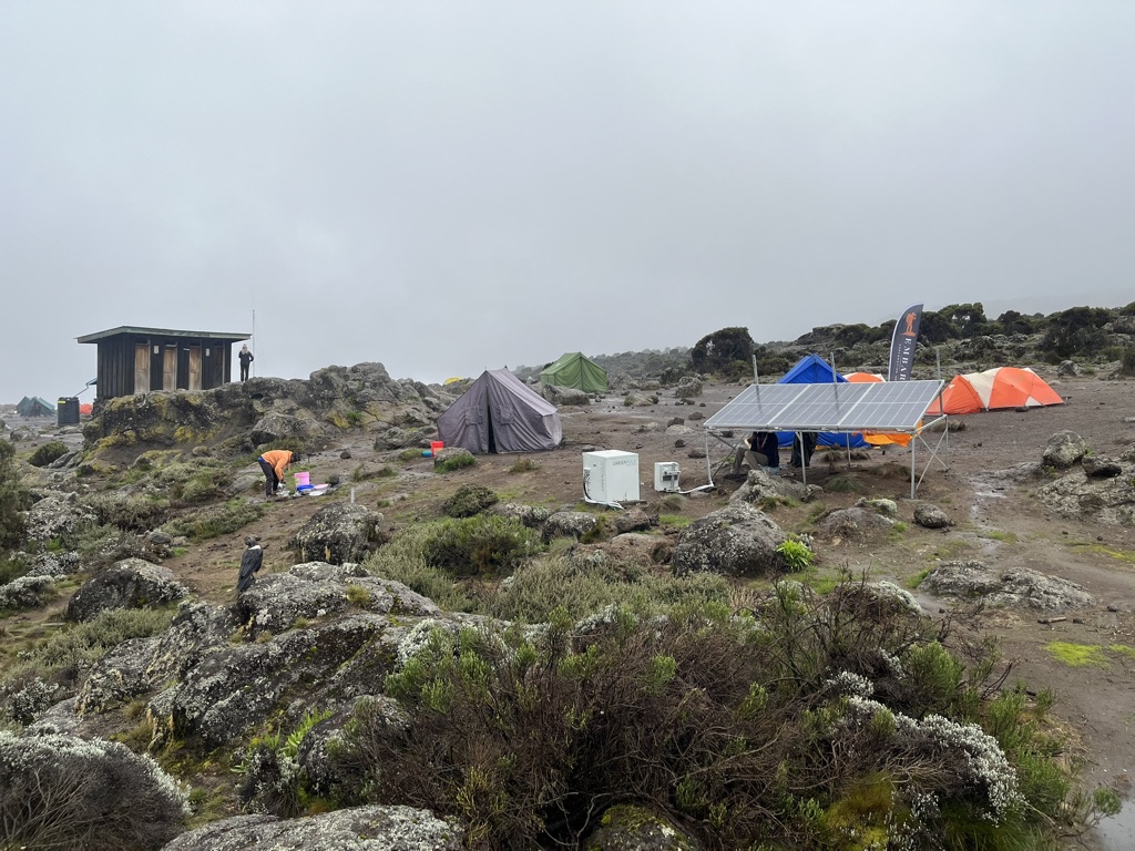
We got to camp, and my tent was set up, with my duffle bag inside. Wow. What luxury! Andersen, a porter whose responsibility is the chemical toilet, showed us how to use it. This item made a huge difference on our adventure, and without Andersen, our experience would have been much different, and not for the better! Victor, the cook’s assistant and the person who organized the dining tent and served us food, showed us the dining tent and had tea, coffee or hot chocolate set up for us, with some popcorn.
Wow.

December 19: Big Tree Camp to Shira I Camp
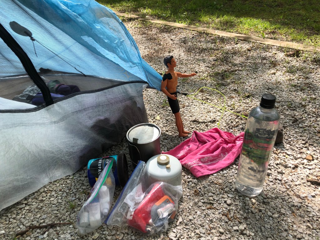
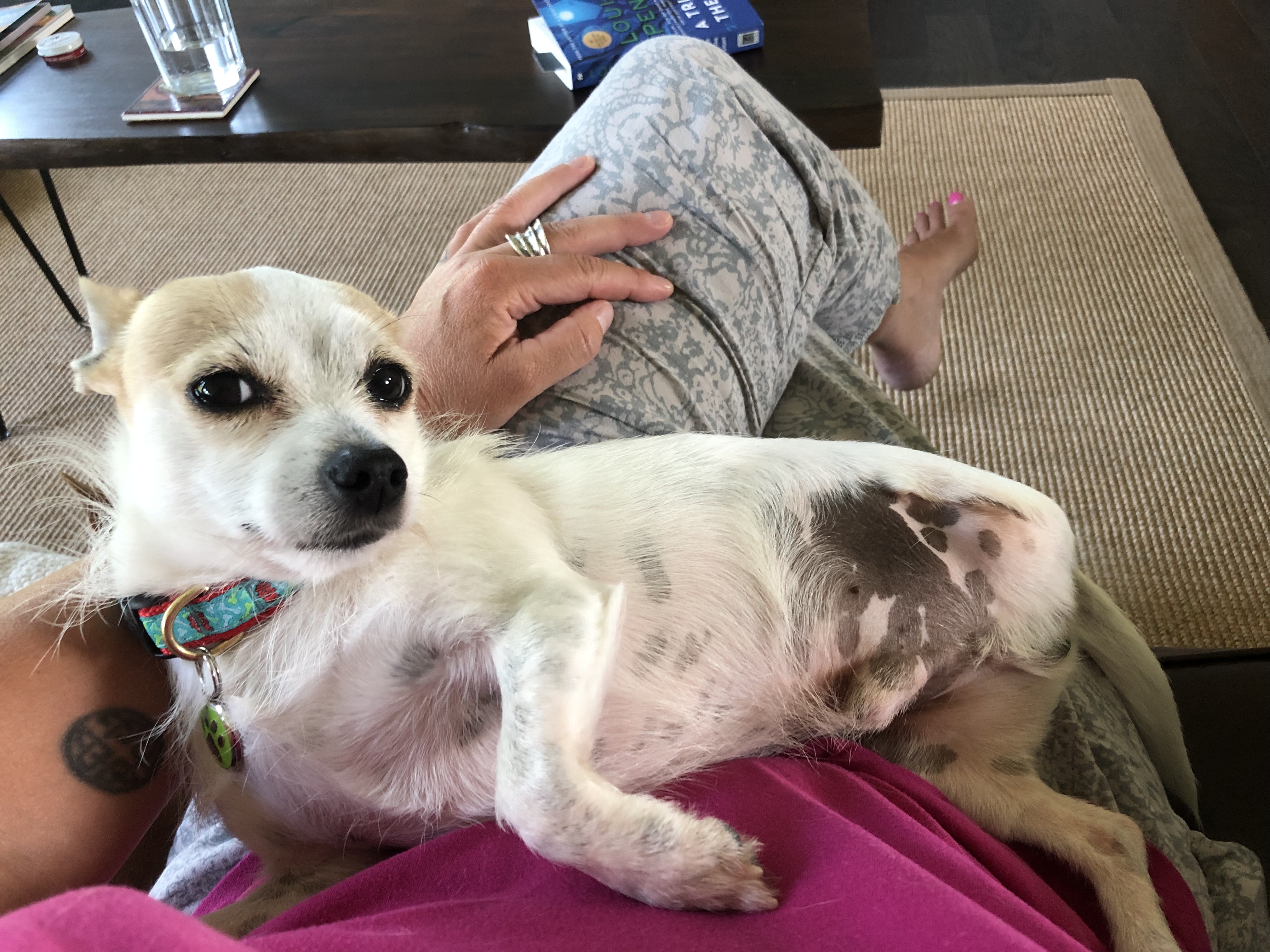
Victor offered me coffee in my tent, and again I was struck with the luxury of organization with Embark. On an adventure, organization is a luxury; I am used to creating it myself but when someone else has that same mindset, it is something I recognize and appreciate. I took the coffee and went to the dining tent for cream and sugar. I accidentally added more instant coffee and ended up with a super powered cup of coffee, which ended up serving me well. Blue monkeys joined us in the trees for breakfast and I managed to get a decent photo of Brandon Walsh. If you are new to this blog and do not know about Brandon, maybe go and read some of the older posts.

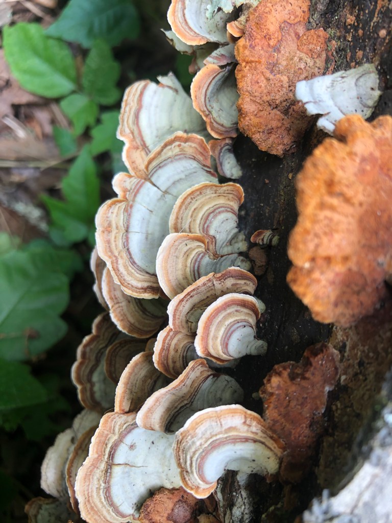
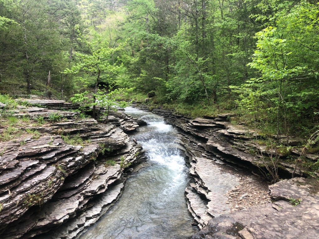
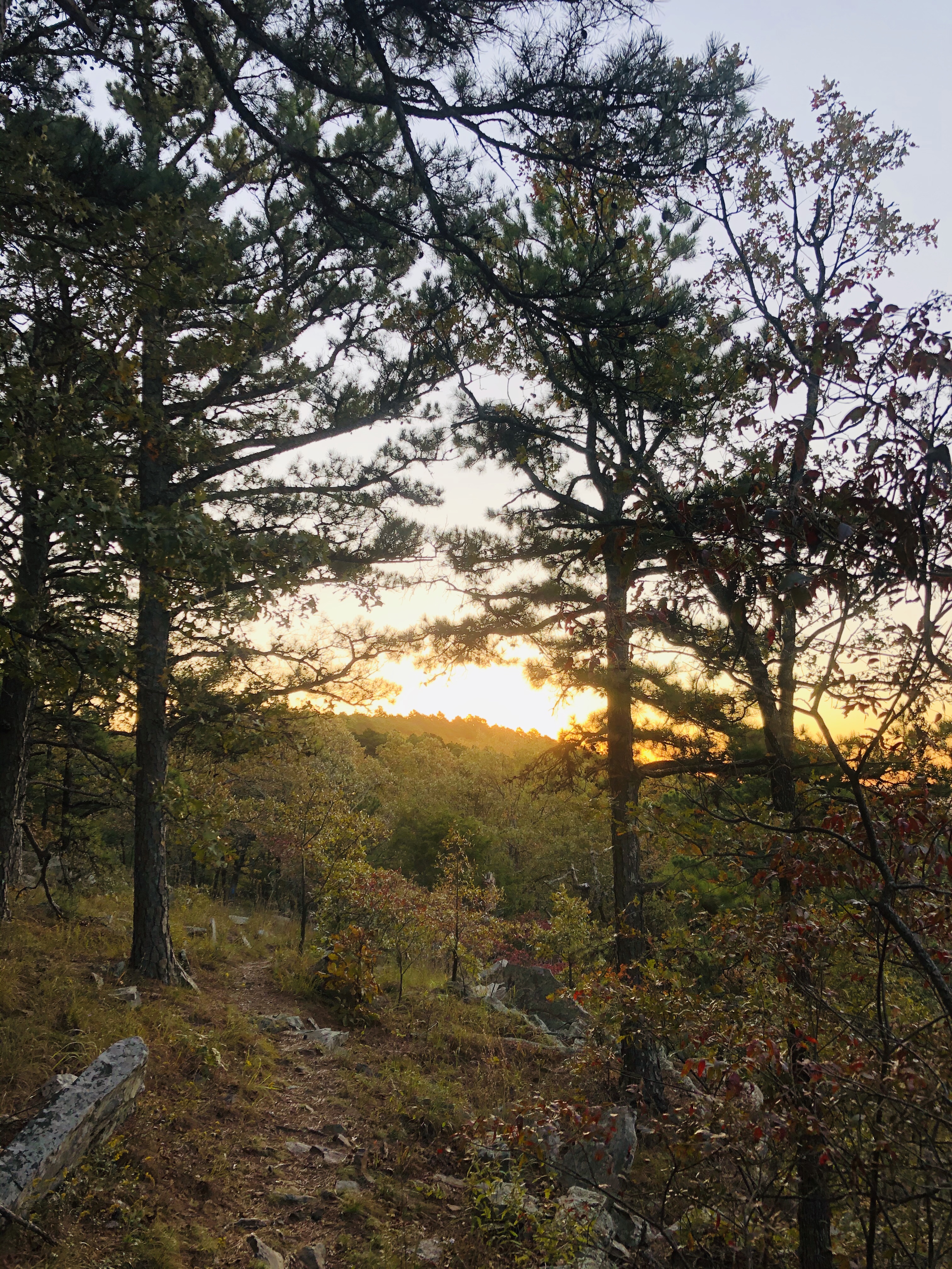
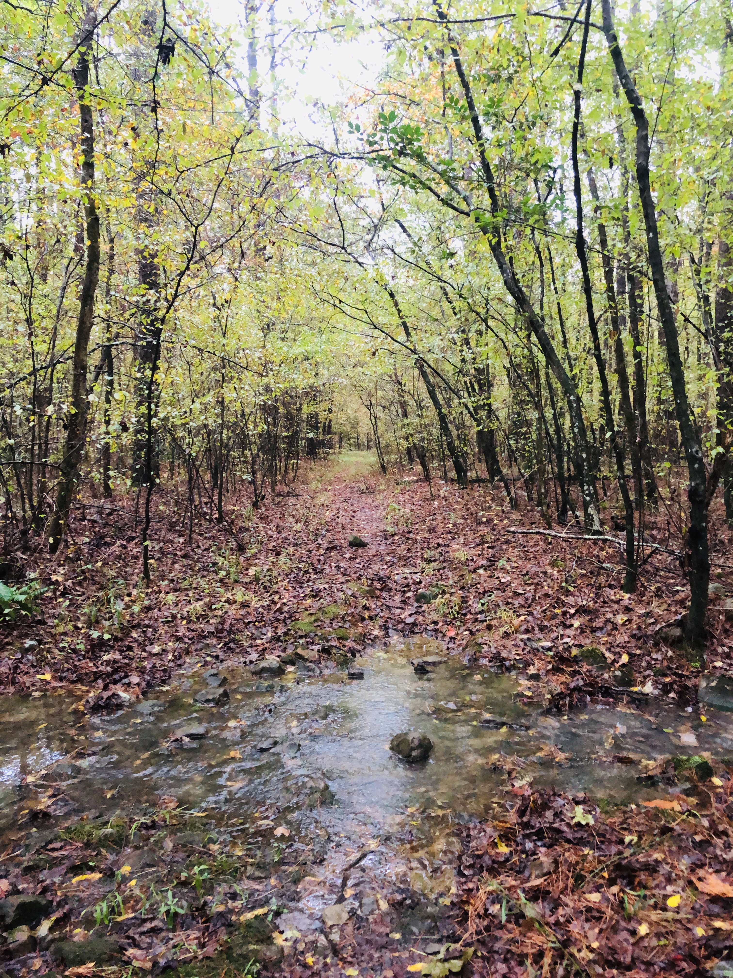
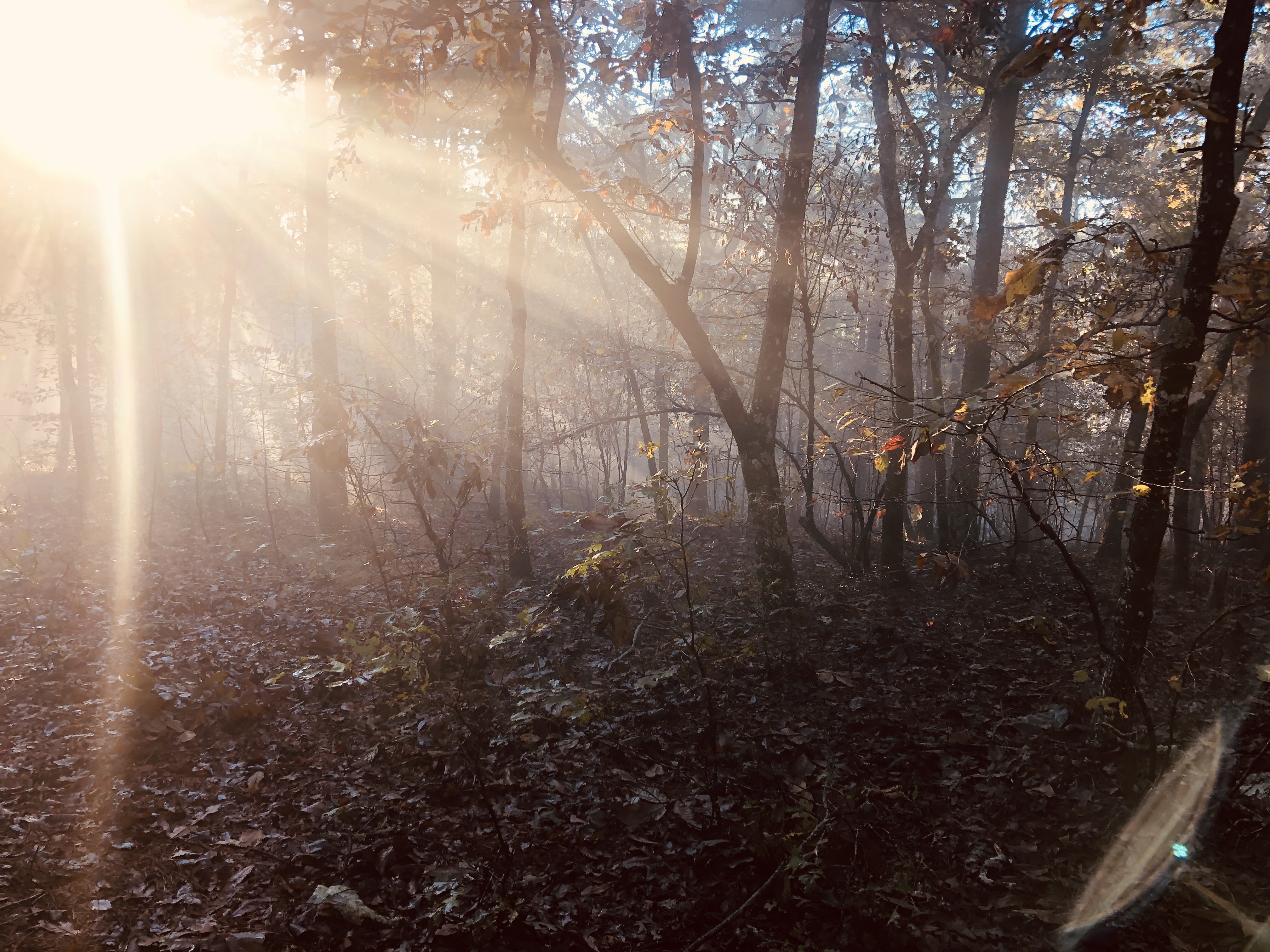
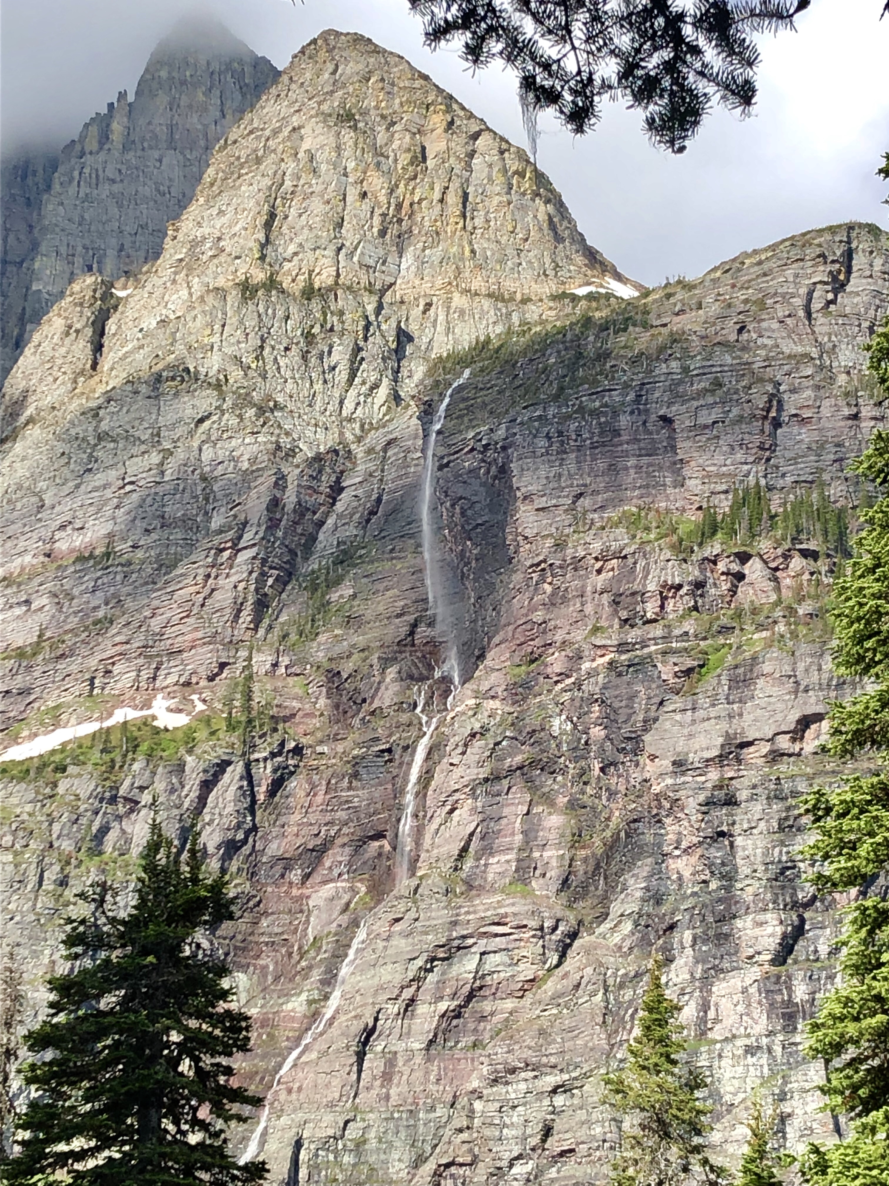
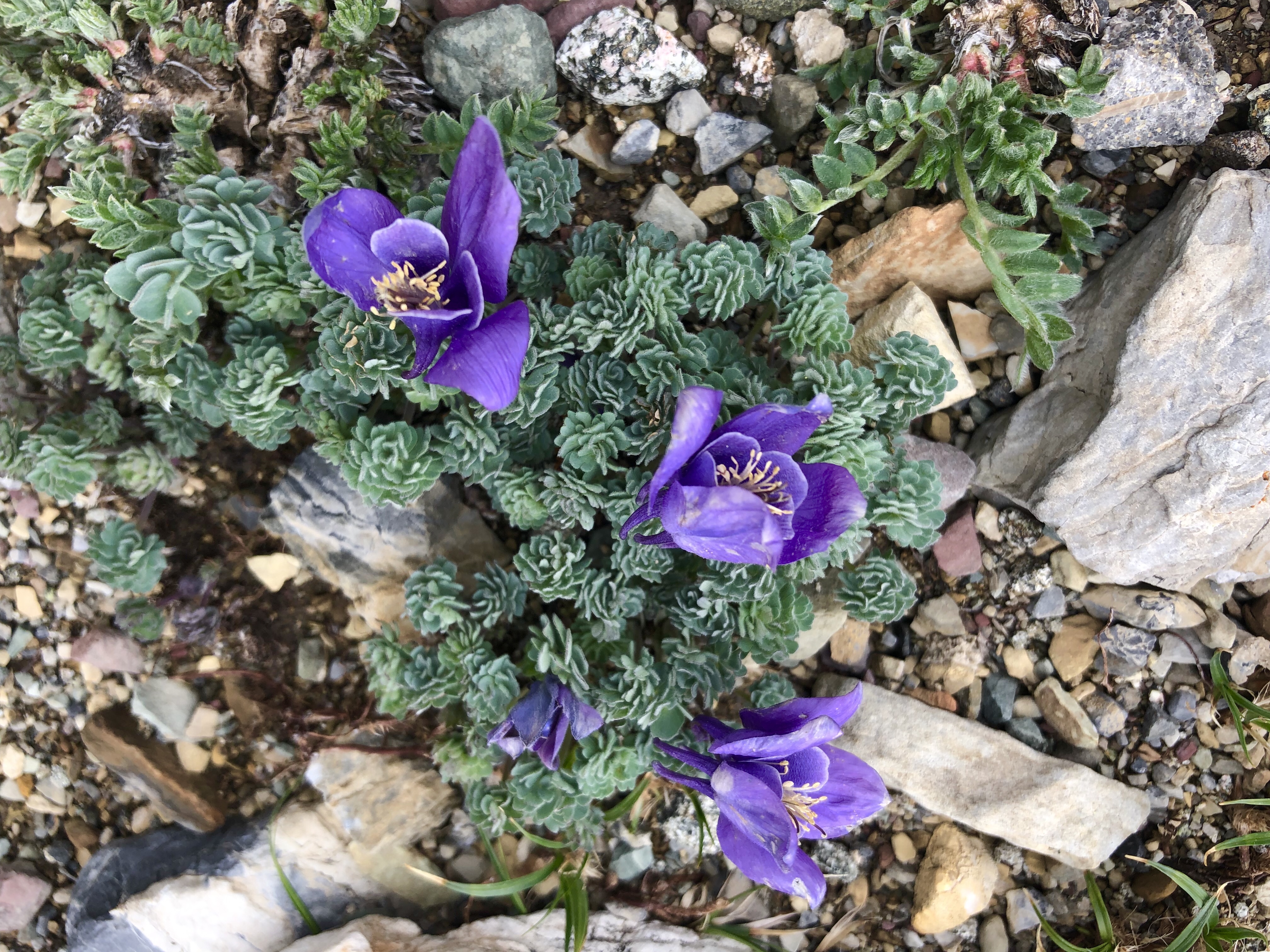
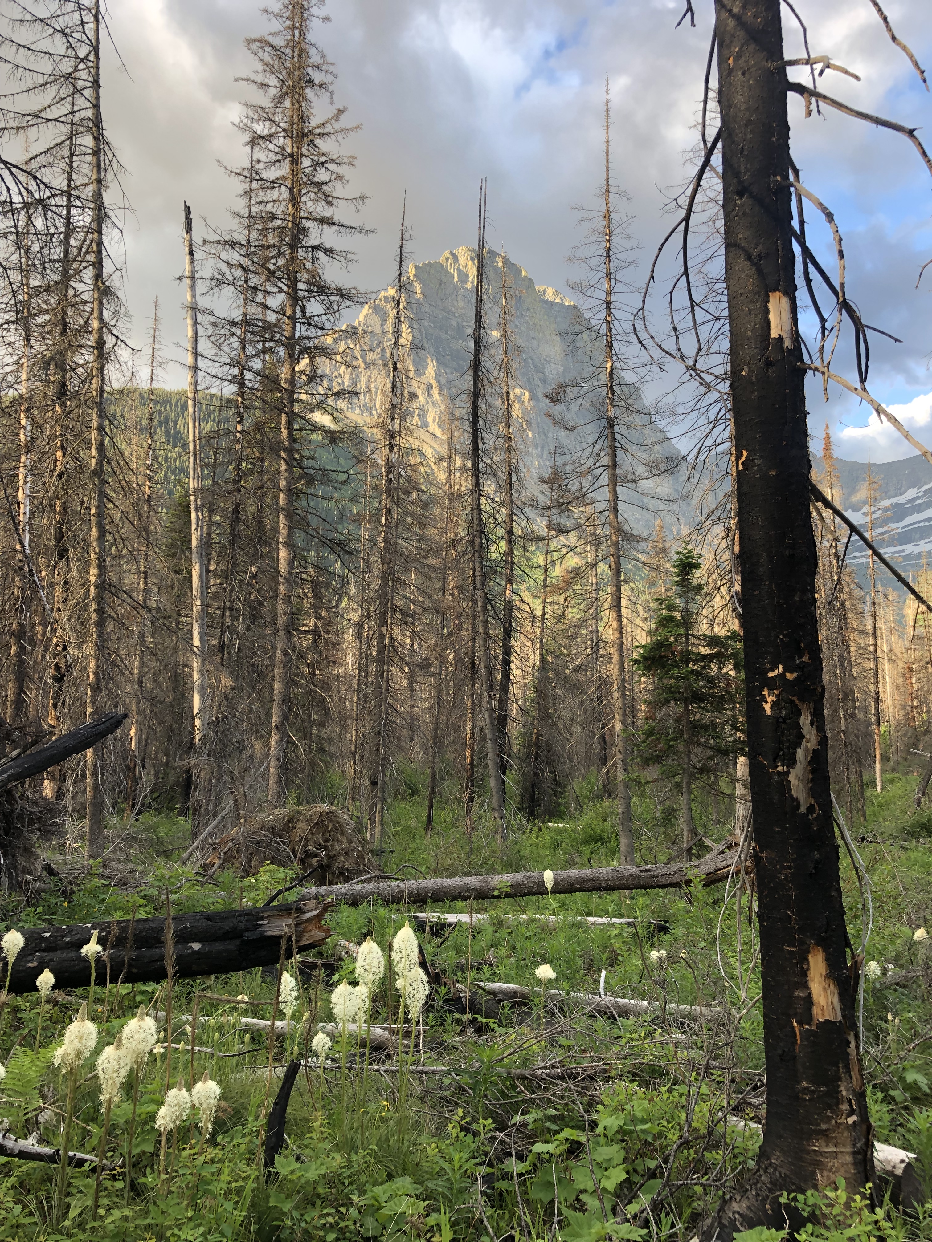
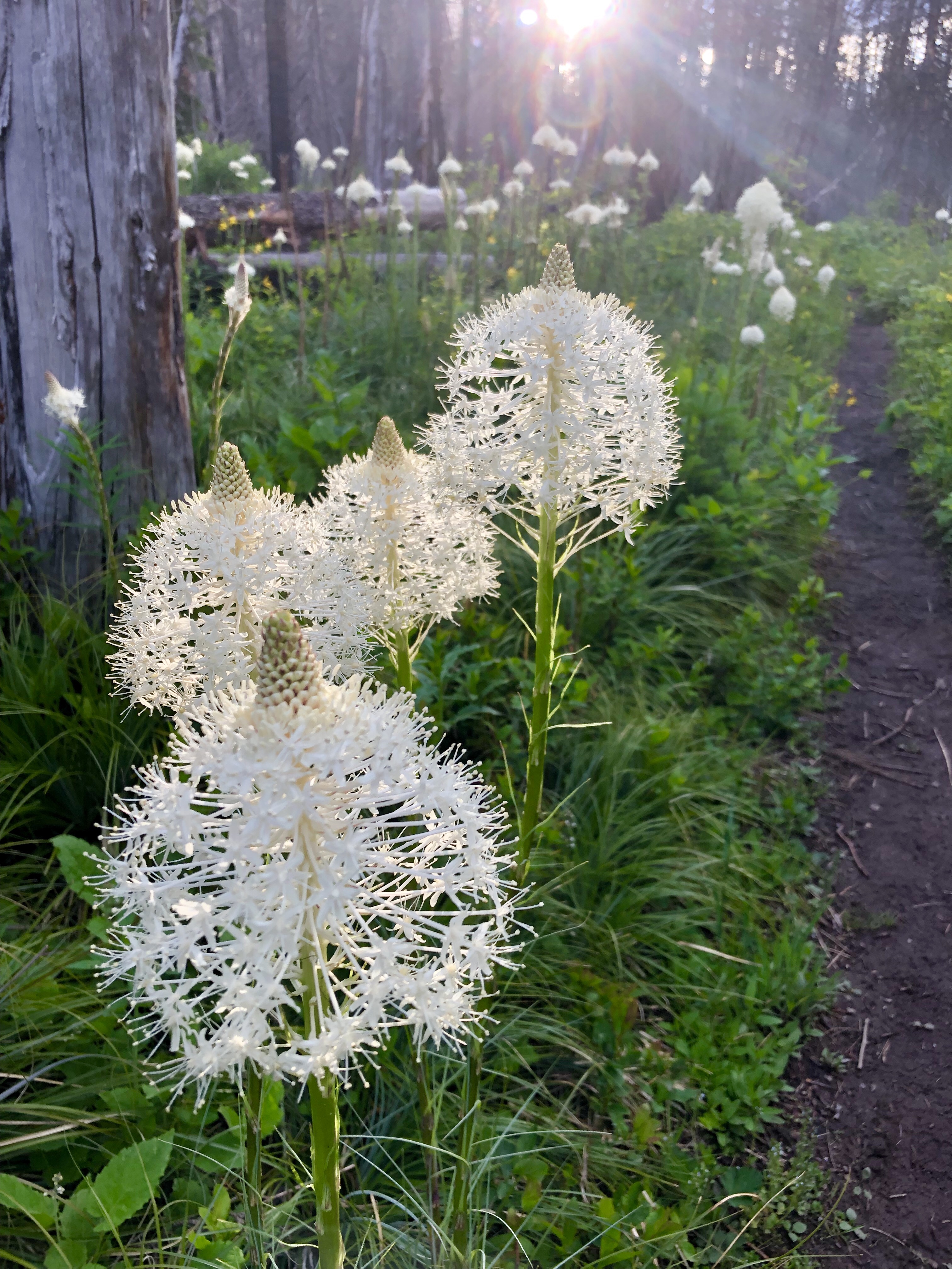
We set off after our briefing at breakfast. The morning was clear and the dense jungle all around us was alive with all manner of life. We took a break in a cedar grove, which looked very different from the cedar groves I know back in Oregon. Soon we were out of the jungle into the moorland, and Leo pointed out some beehives that the rangers make from hollow logs and hang in the trees. People can get a special permit to come harvest the honey. He also pointed out a medicinal herb that smelled like sage and lemon; it’s used for stomach problems. Learning these things about the land really enriched the adventure for me and I was so grateful to have such excellent guides!


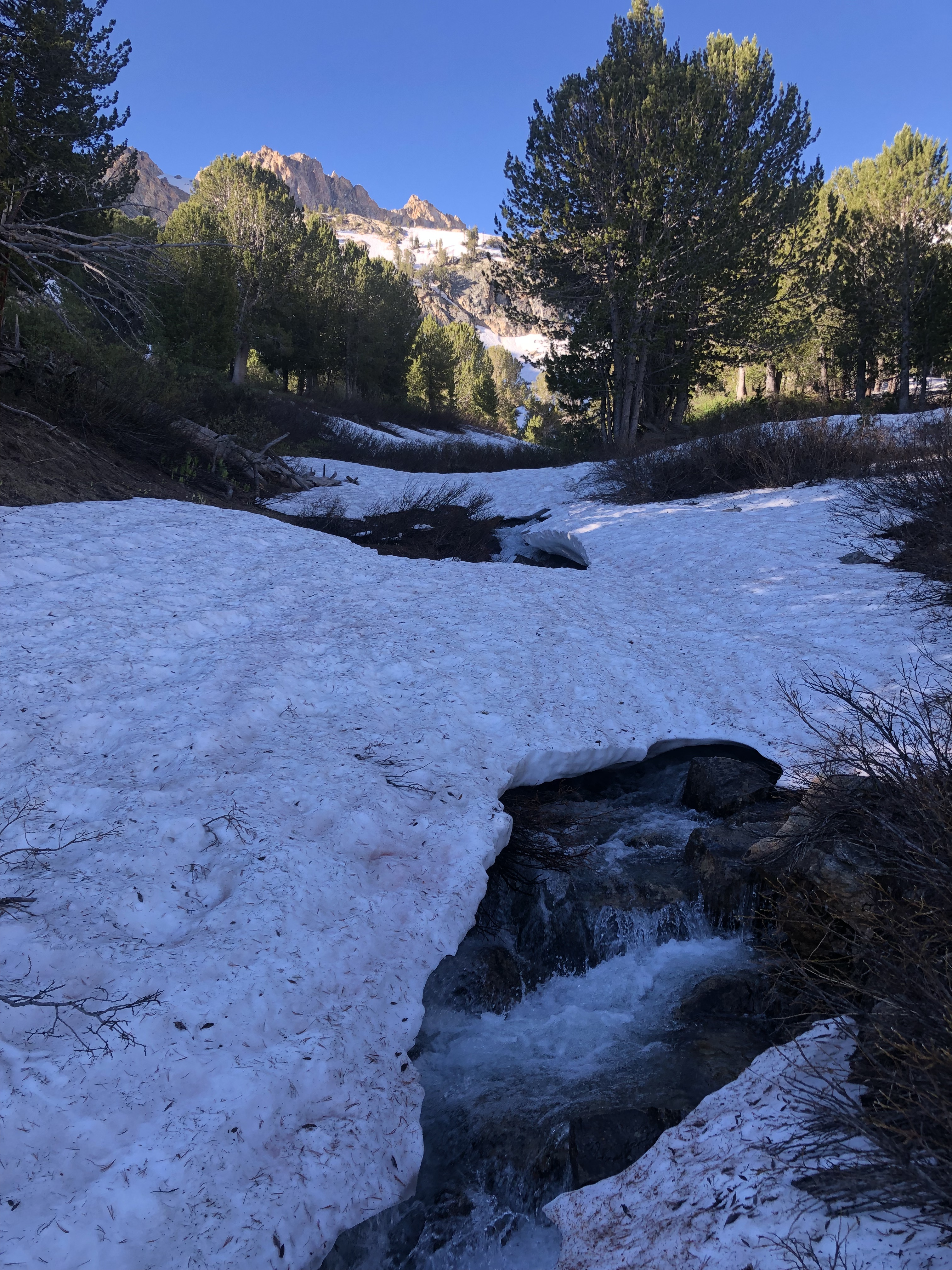
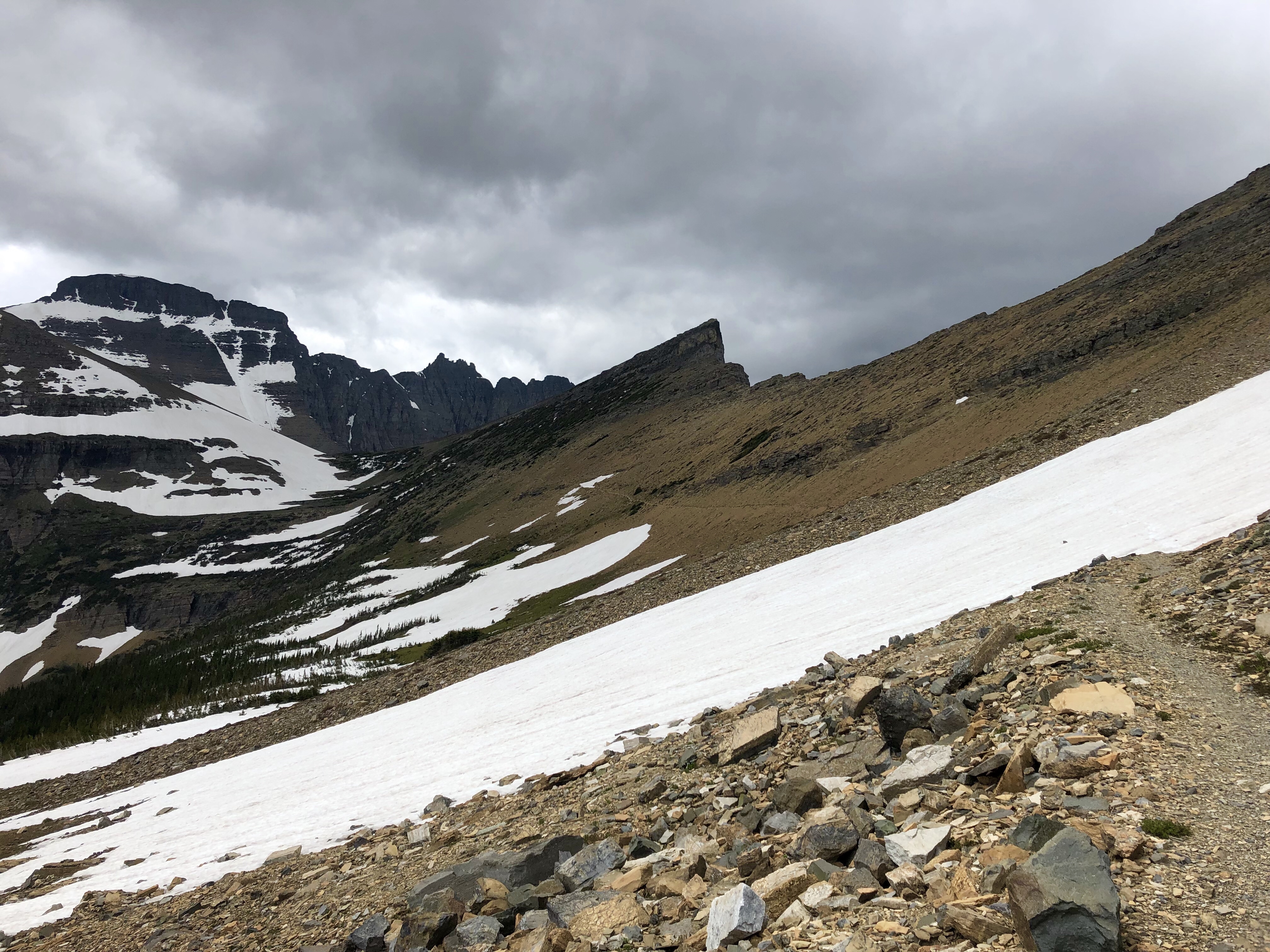
We took a break at the bottom of a huge ridge, which Leo said was the real climb of the day. He was not wrong! the trail itself reminded me of certain sections of the Pacific Crest Trail in the Sierra; a steady uphill with big steps. And more steps. When we reached the top, finally, I was feeling good and tired. The trail traversed the ridge line and as we took our last break of the day, a few of our porters showed up and offered to take out day packs! It had just started raining and we could see Shira I Camp in the distance, down the ridge. The thoughtfulness of our crew and guides did not cease to impress and amaze me. These guys had it down. We hopped down the trail in the light rain, and made it to our camp for the night. What a great spot, what a great crew.


December 20: Shira I to Shira 2 Camp
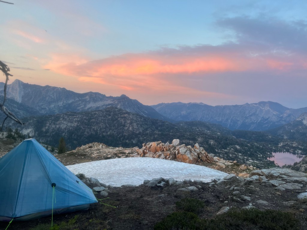
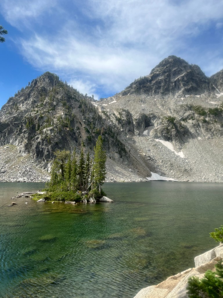
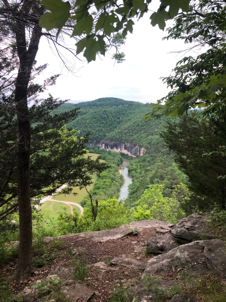
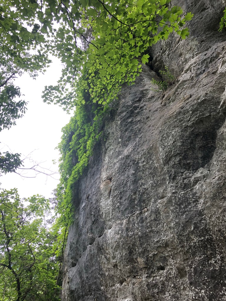
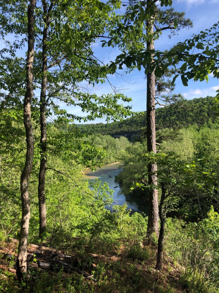
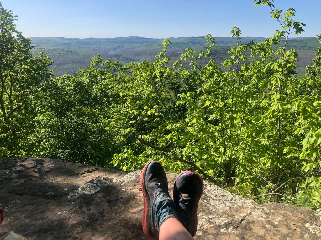
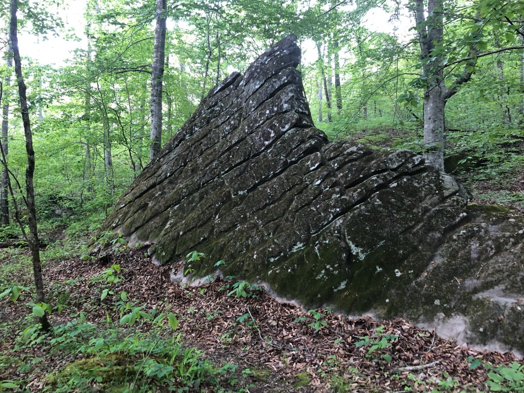
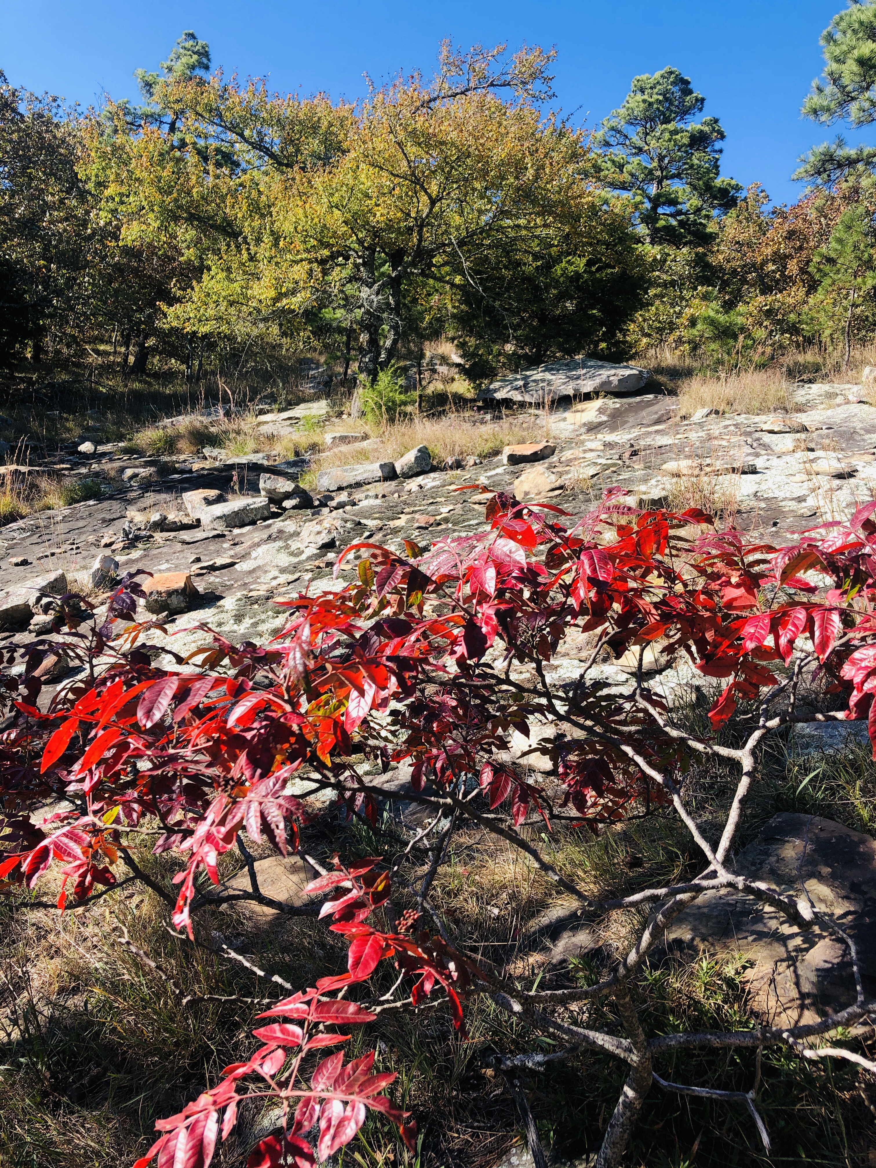
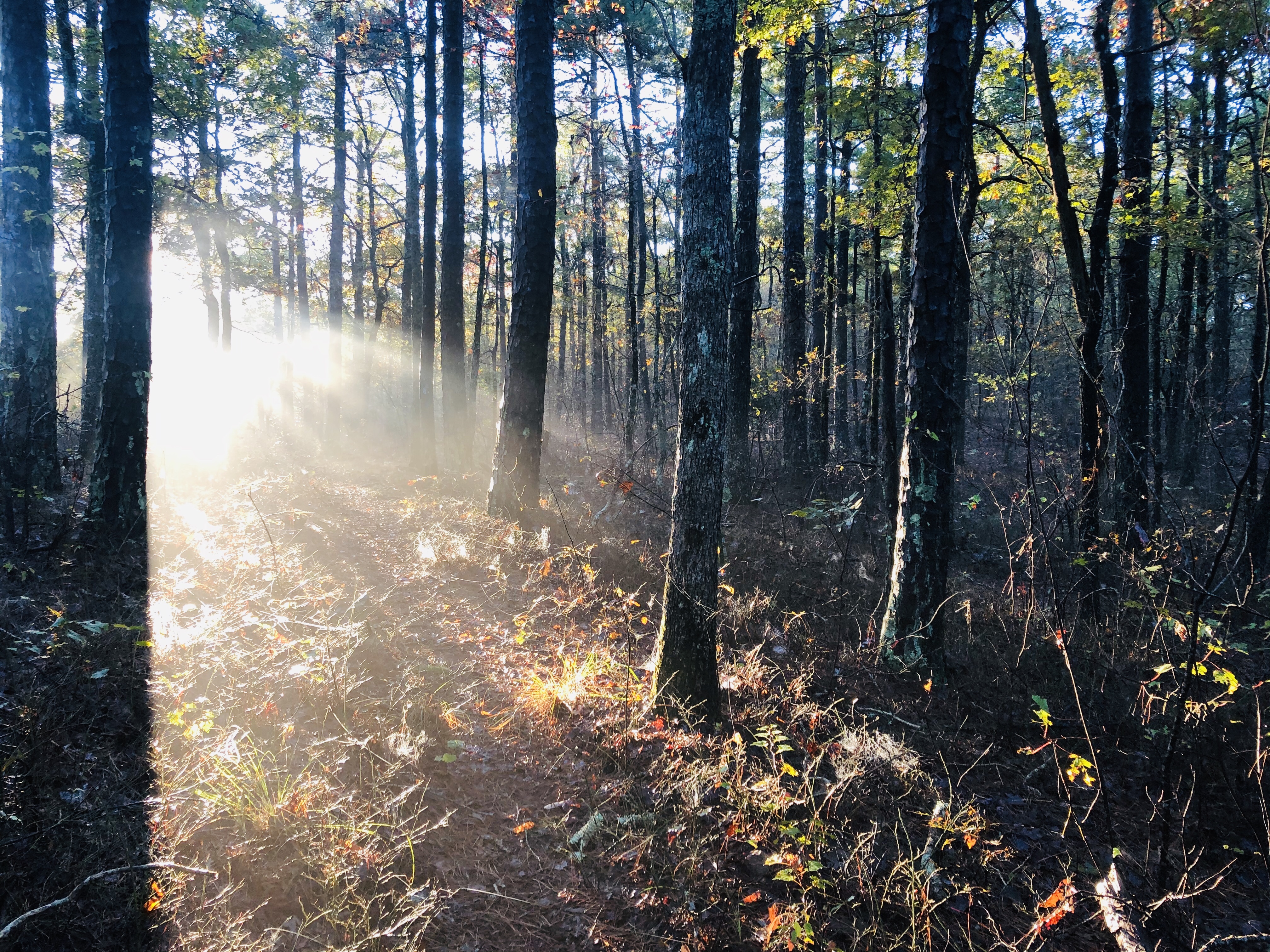
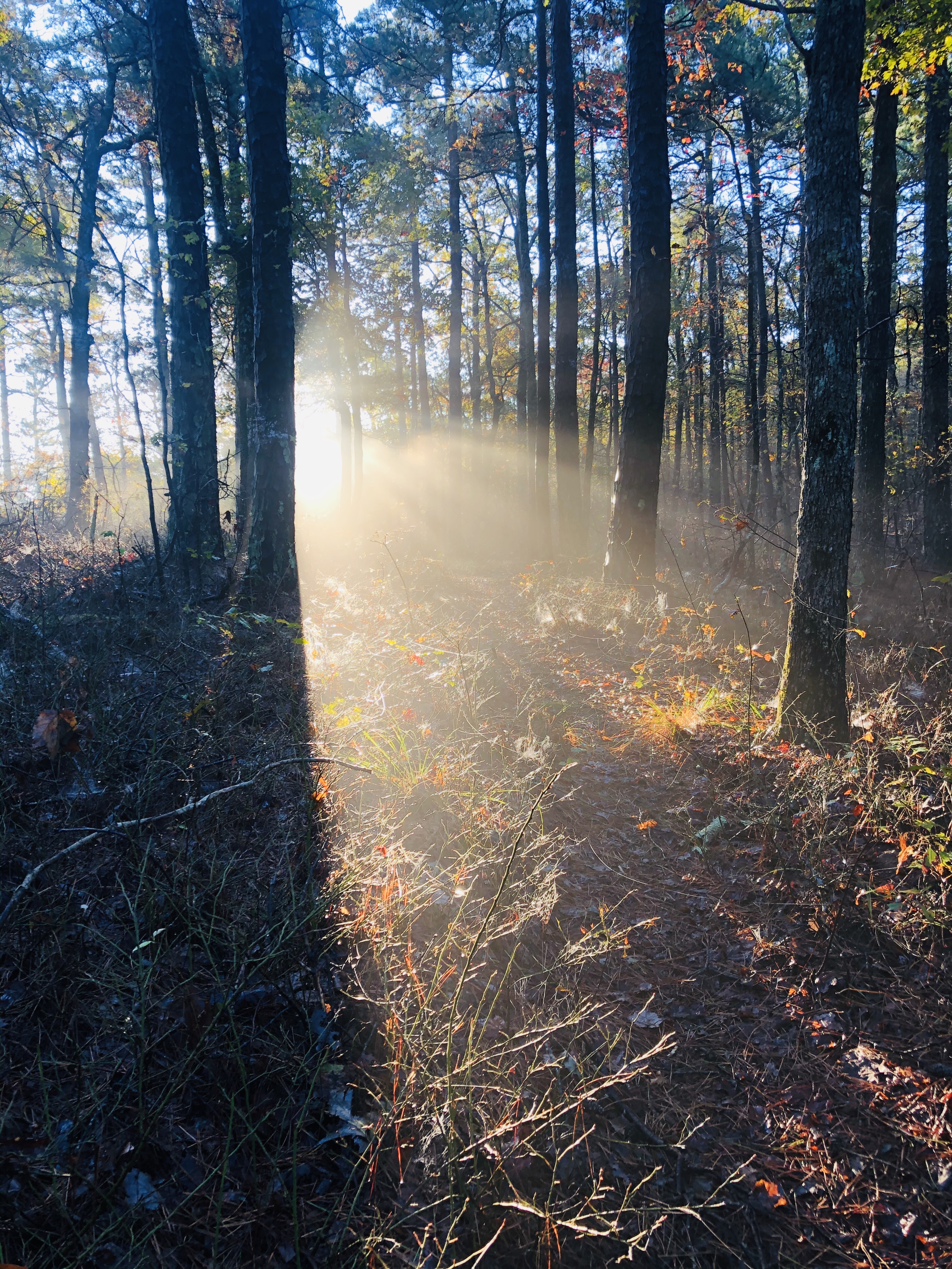
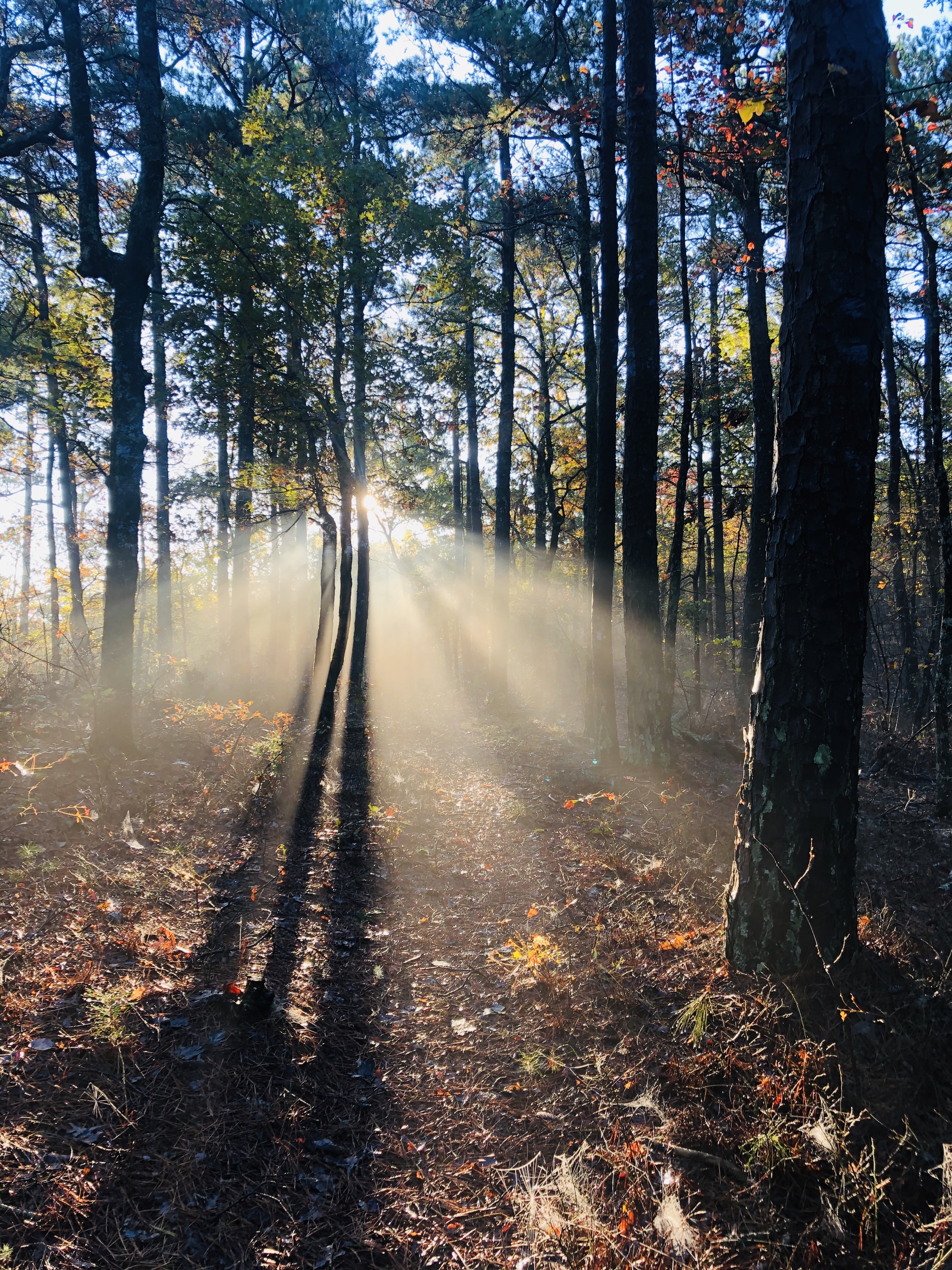
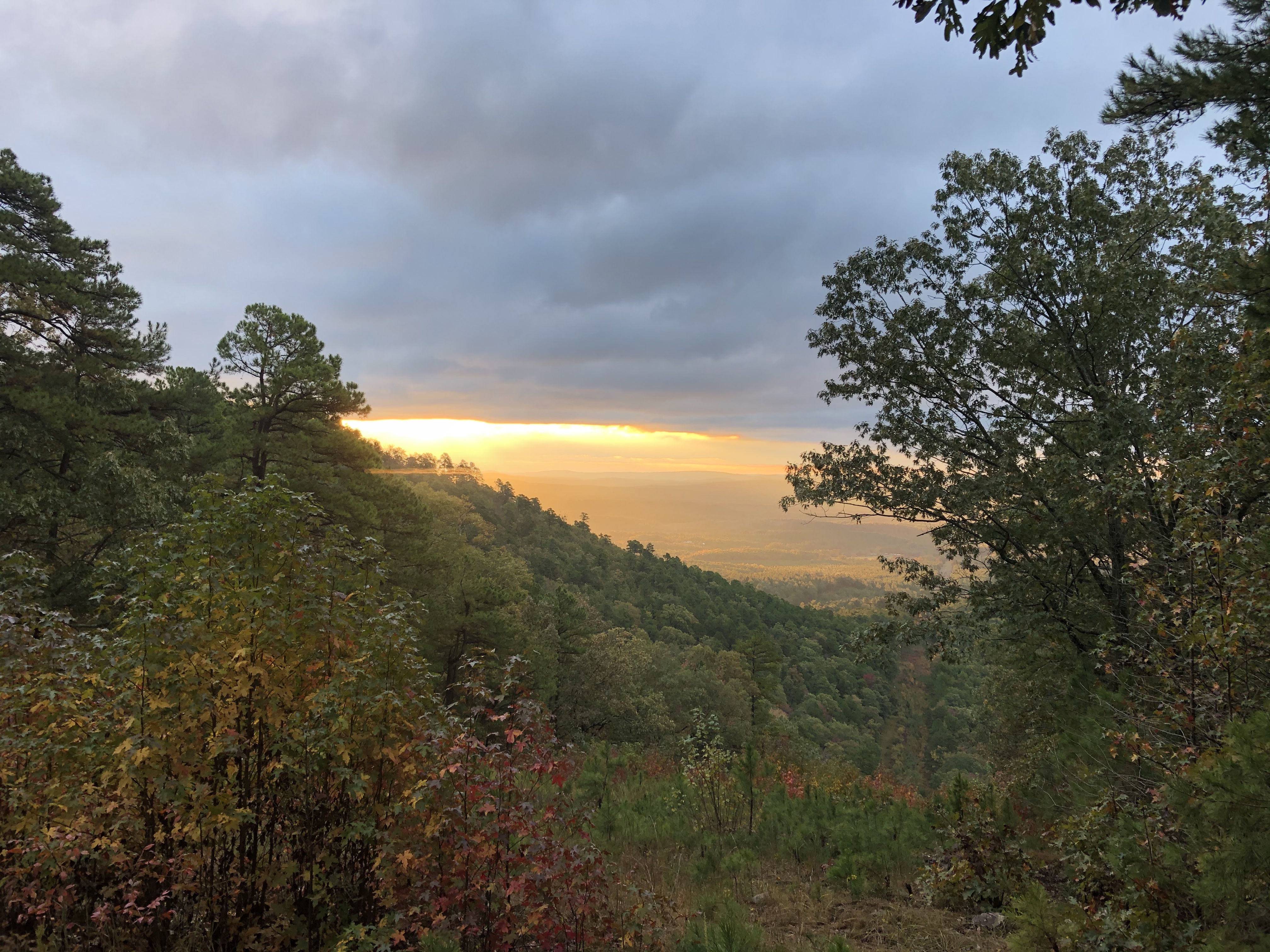
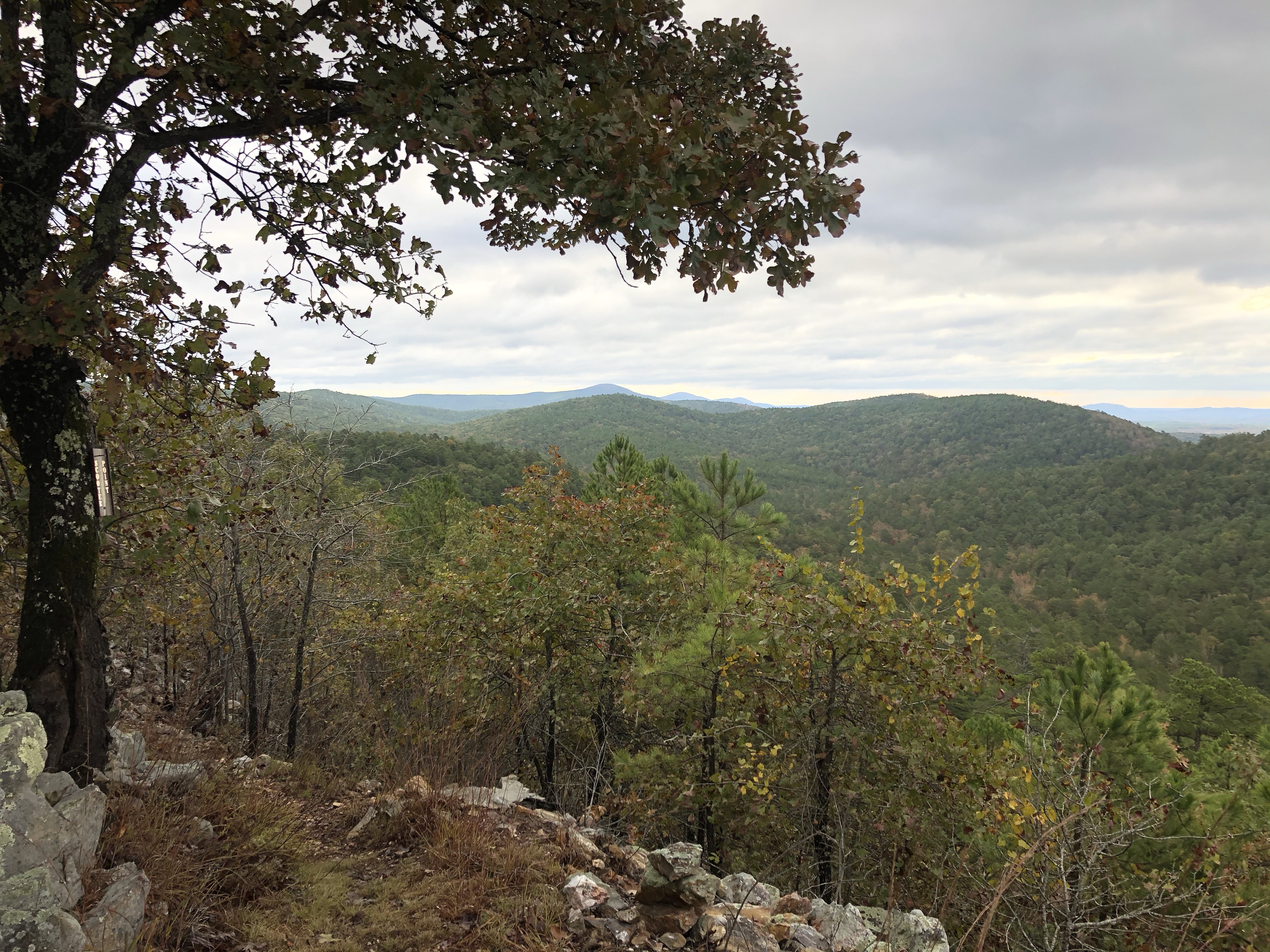
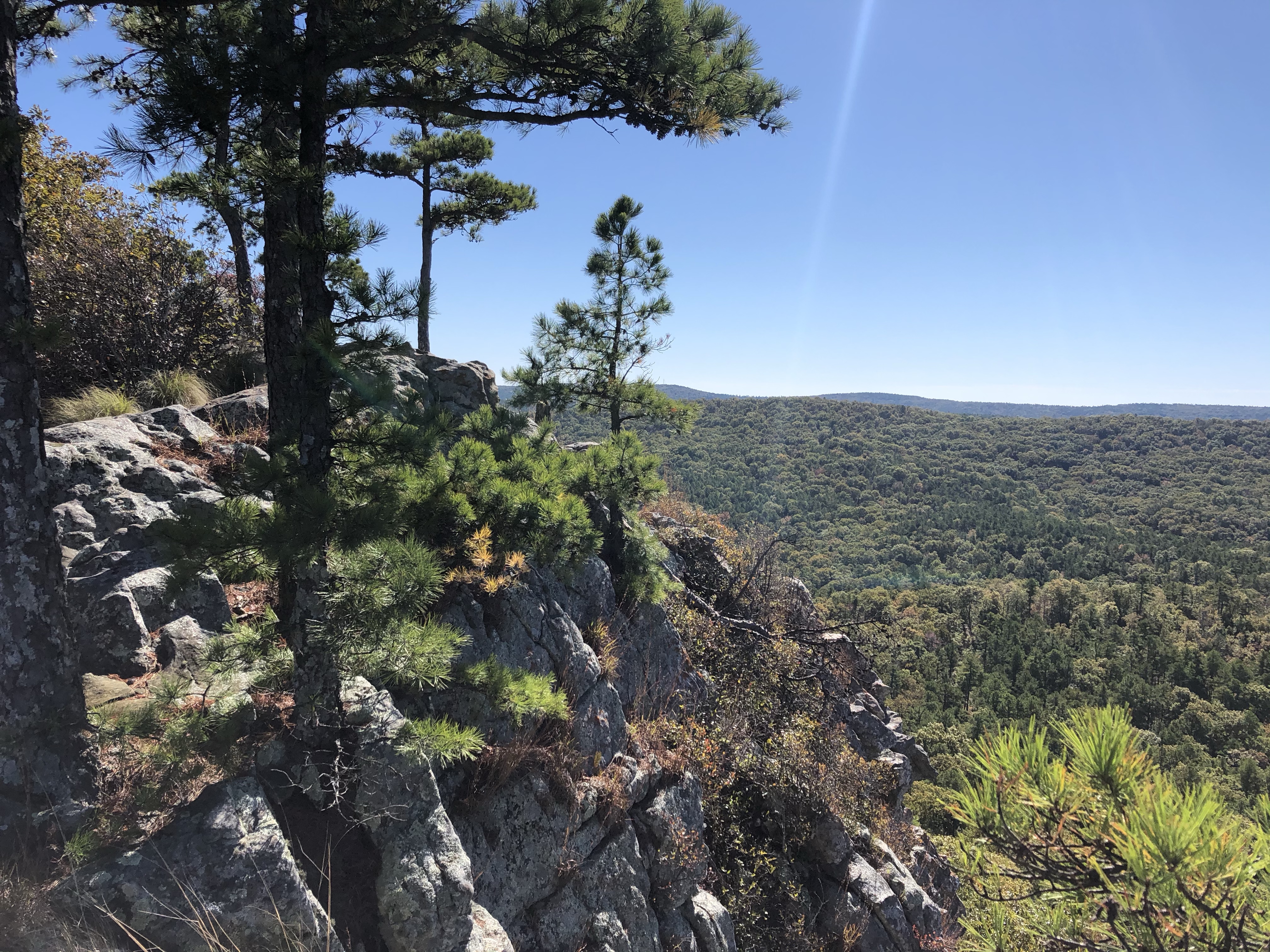
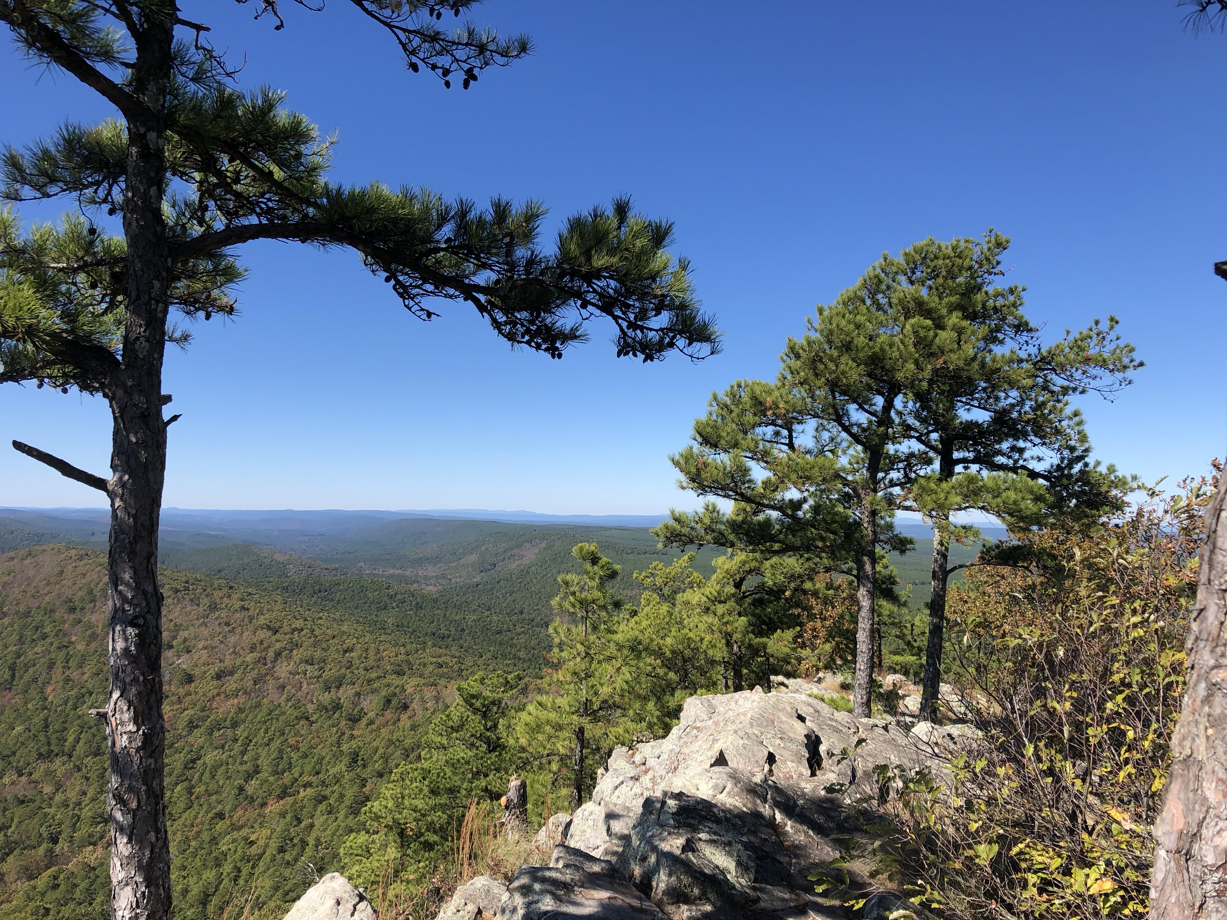
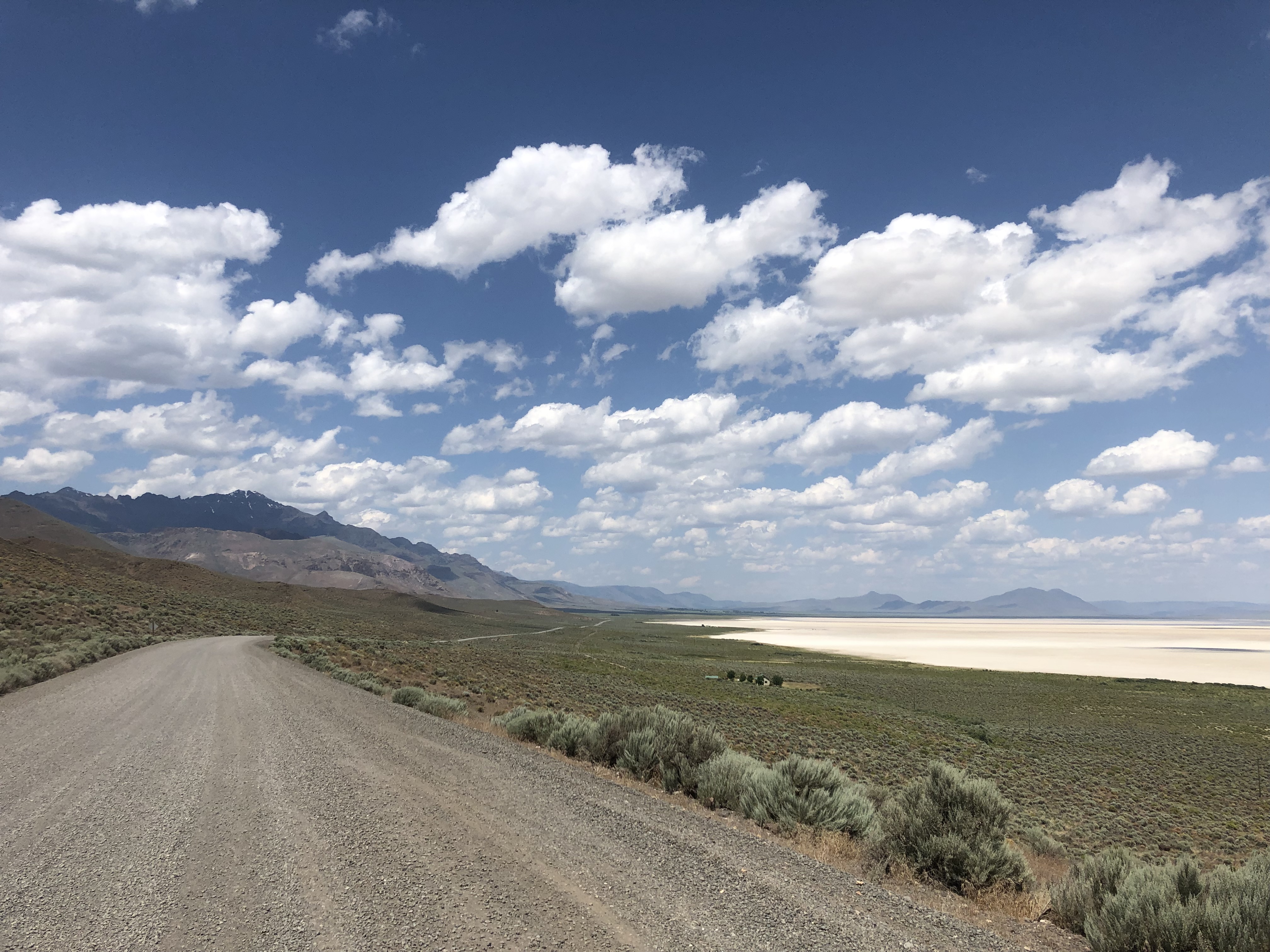
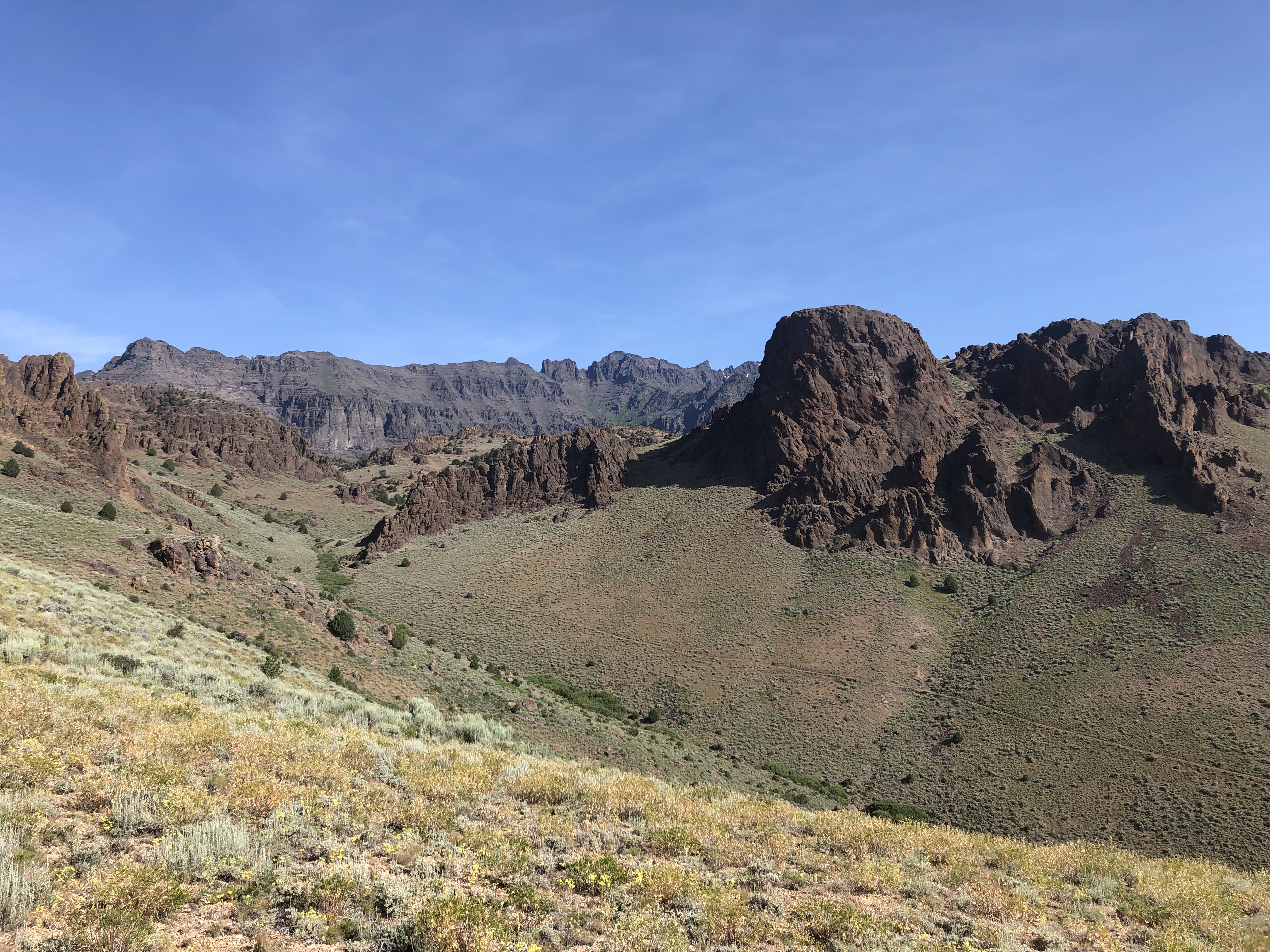
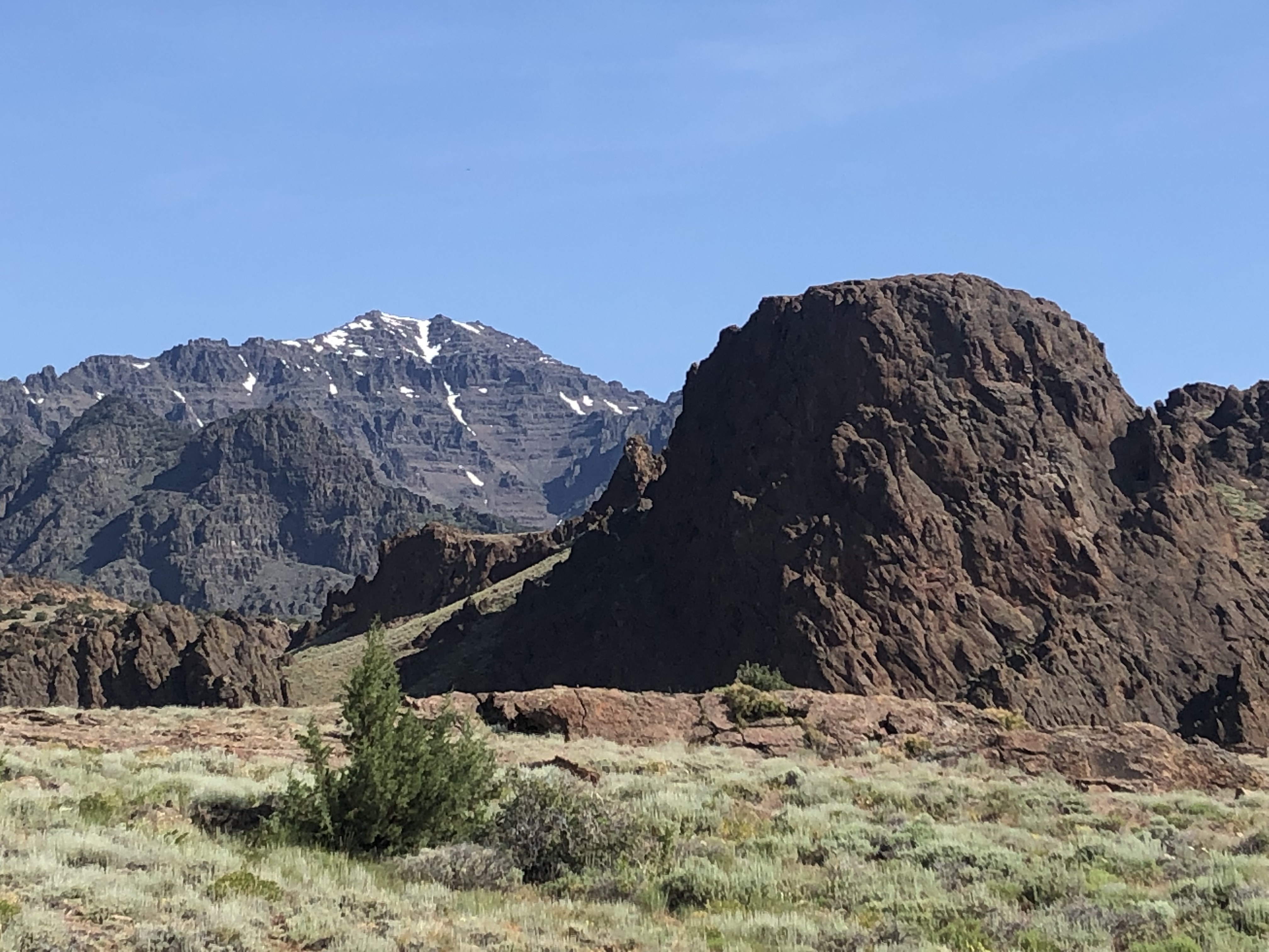
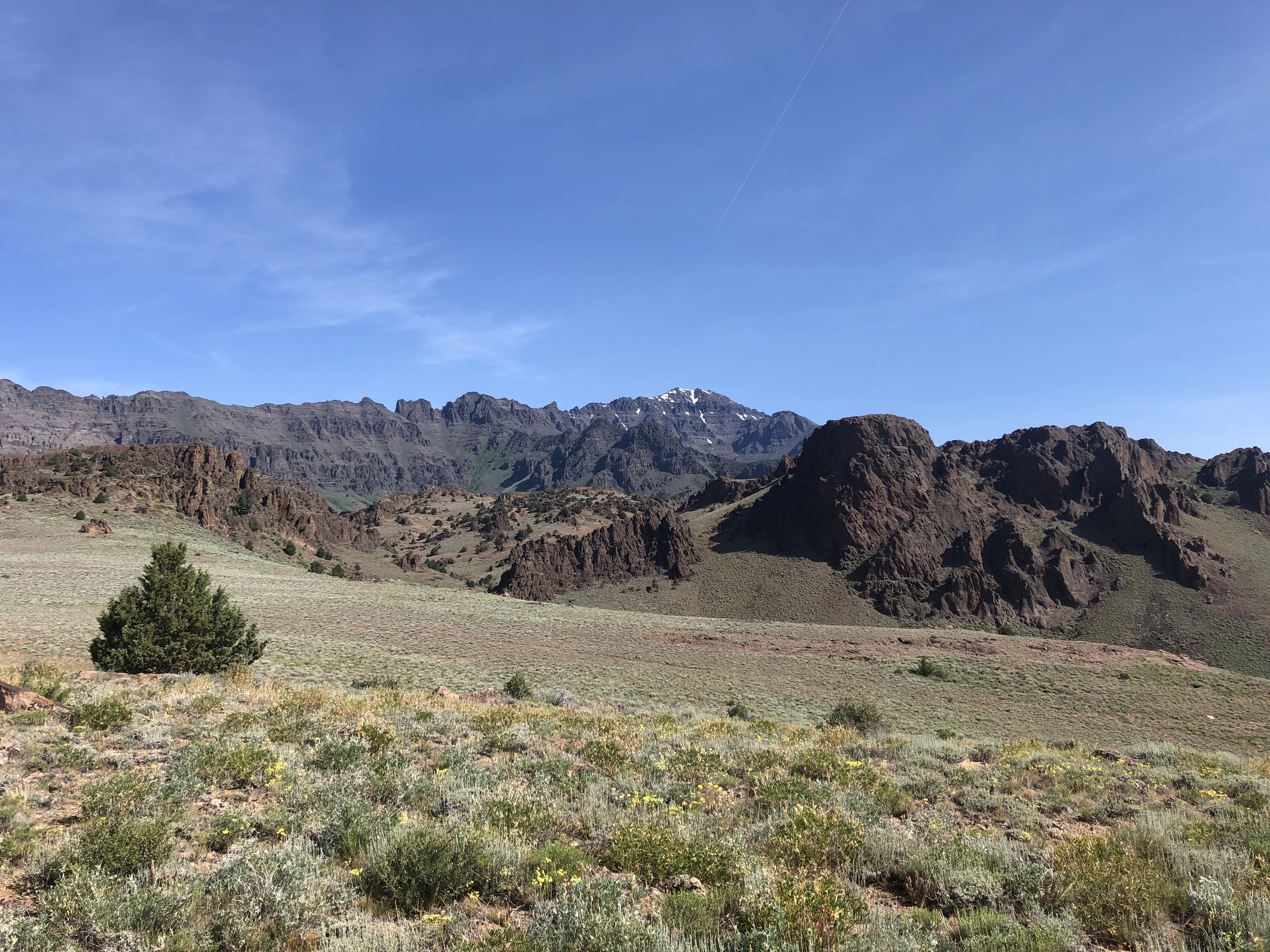
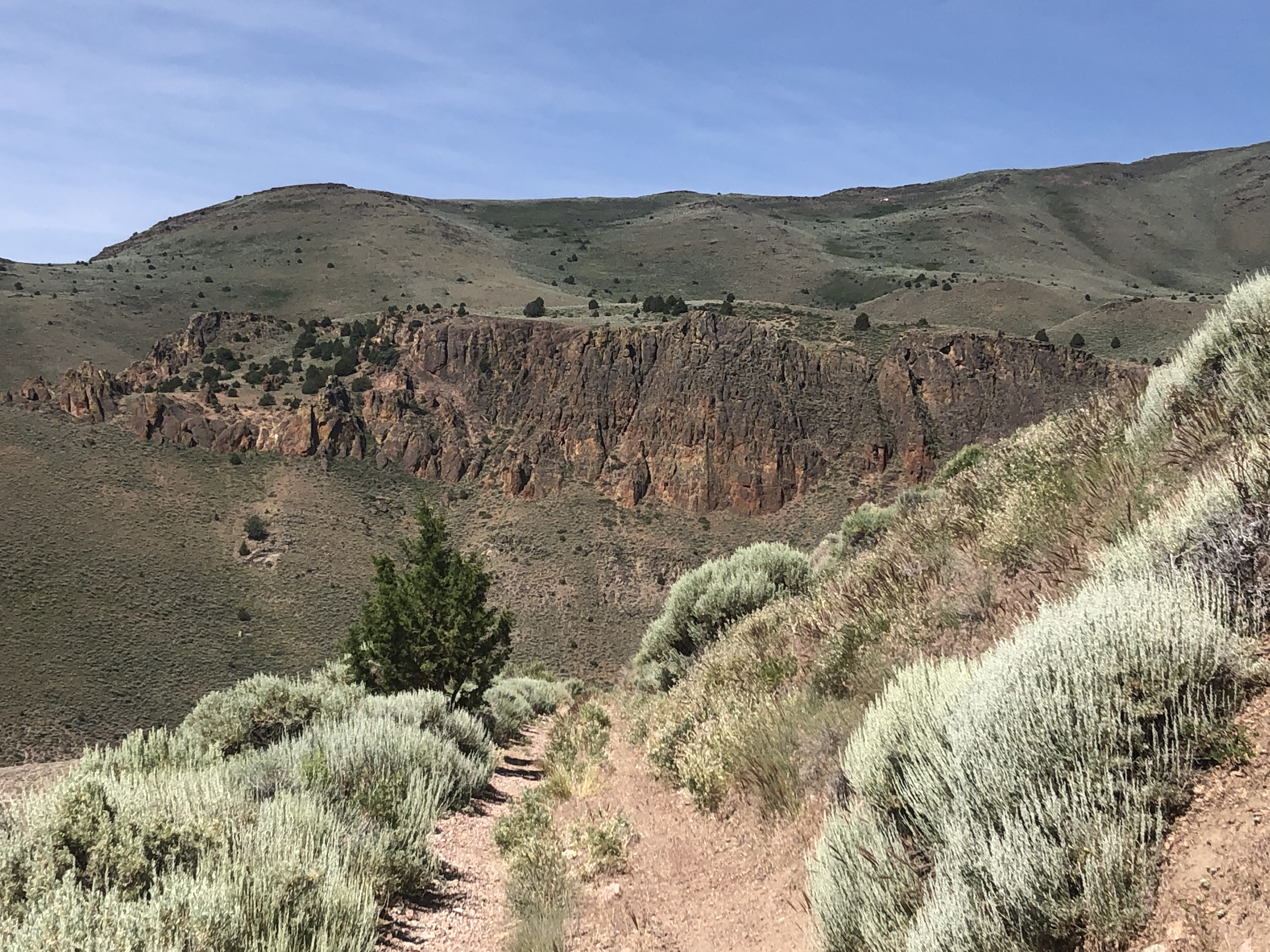
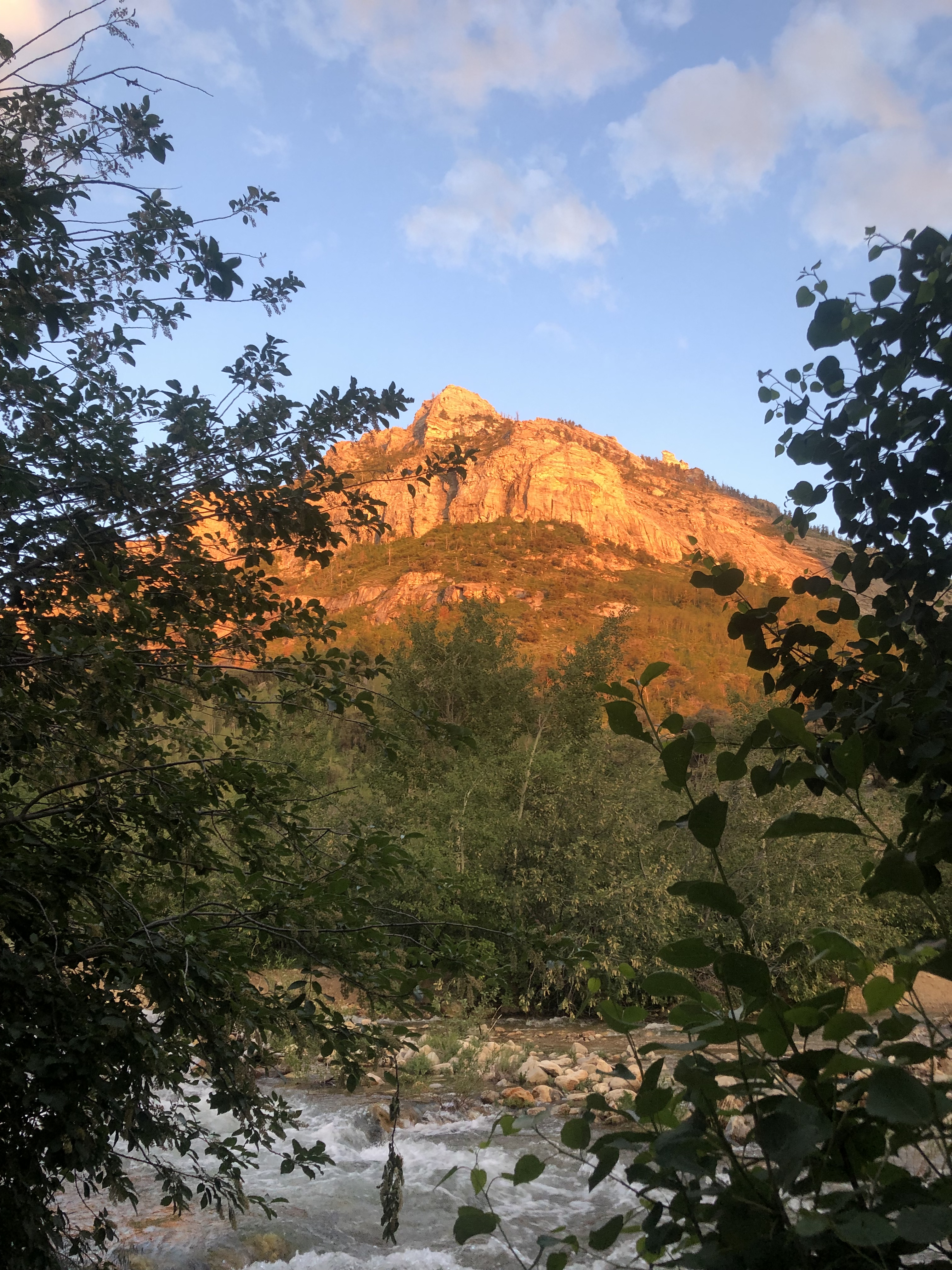
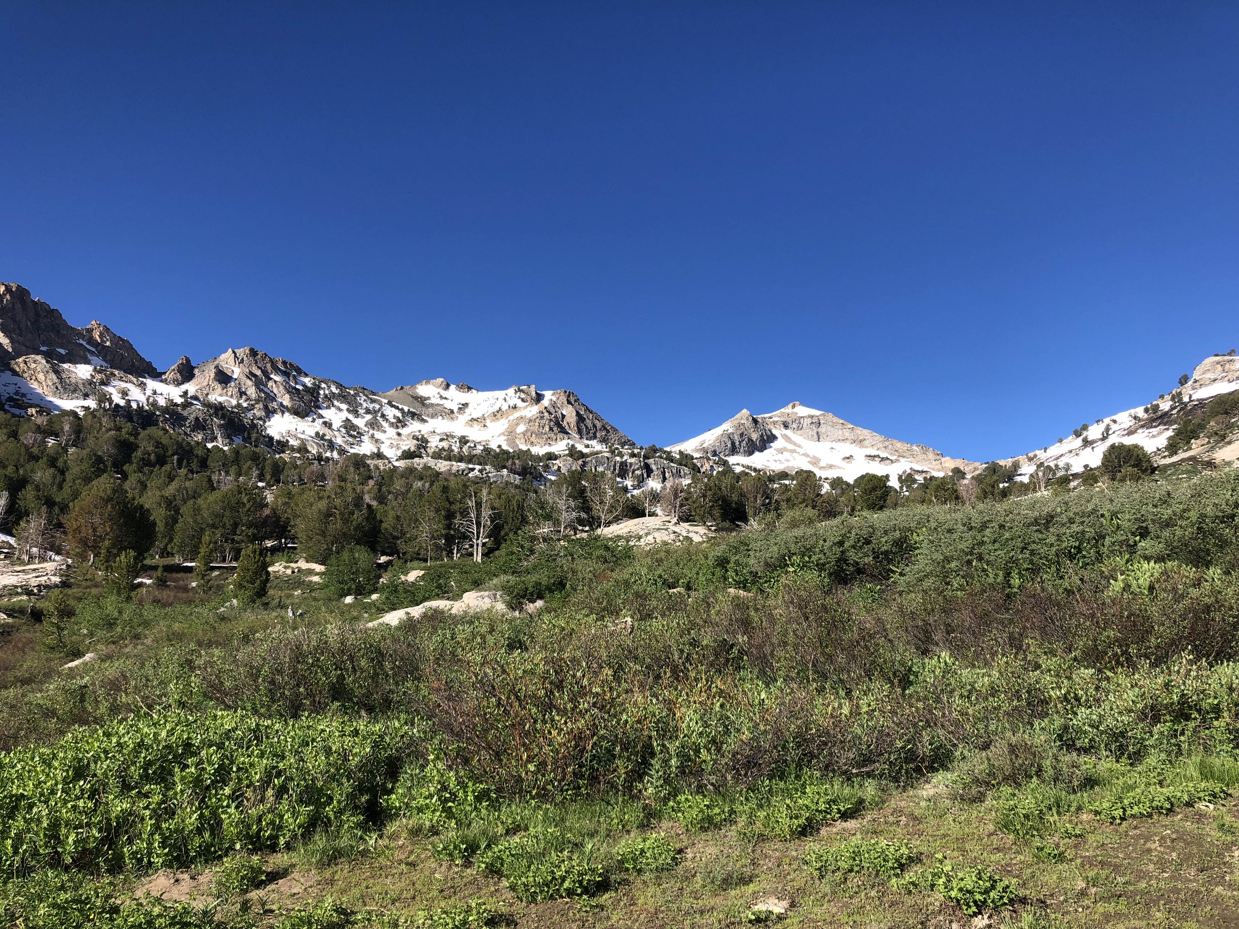
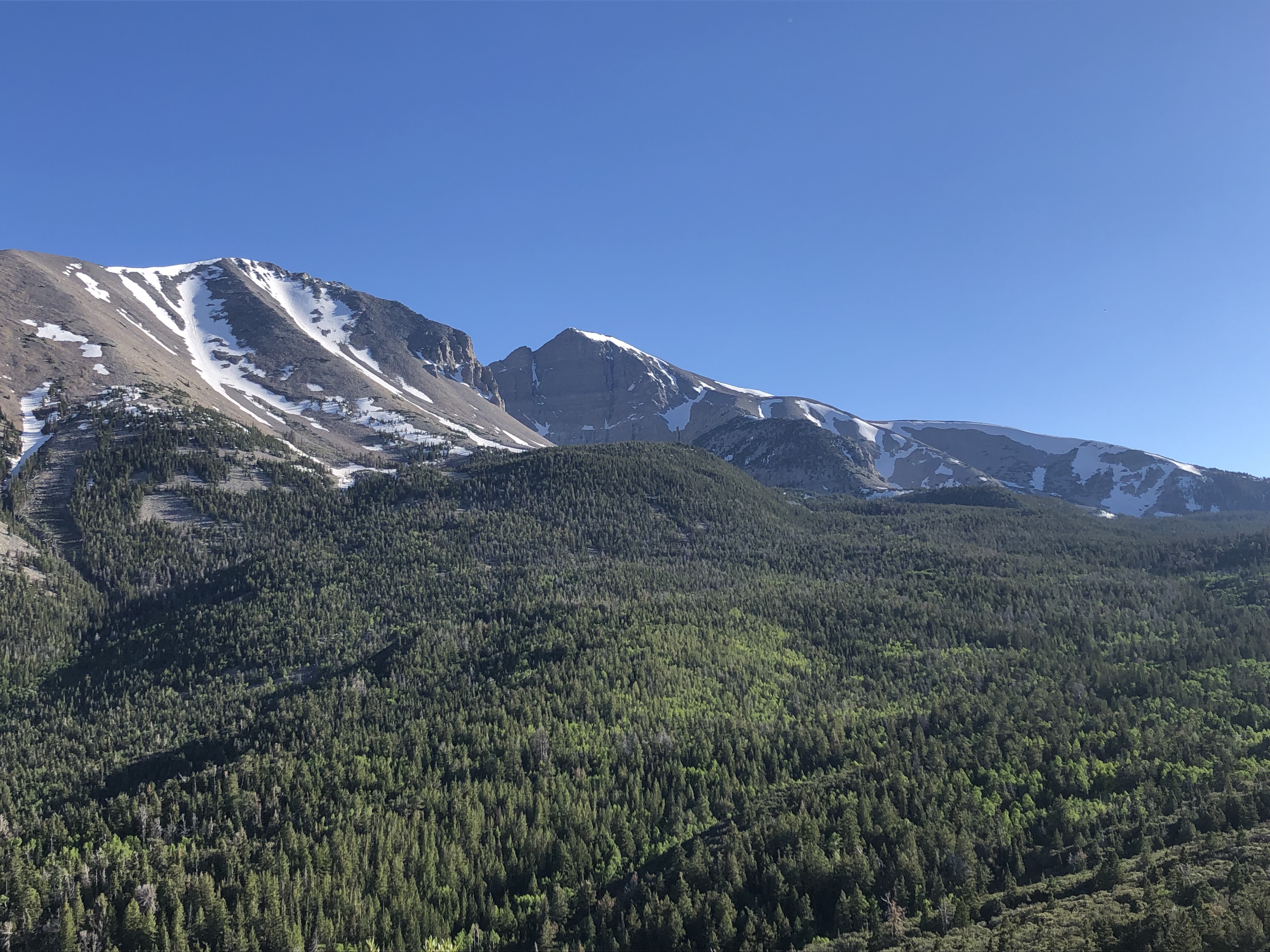
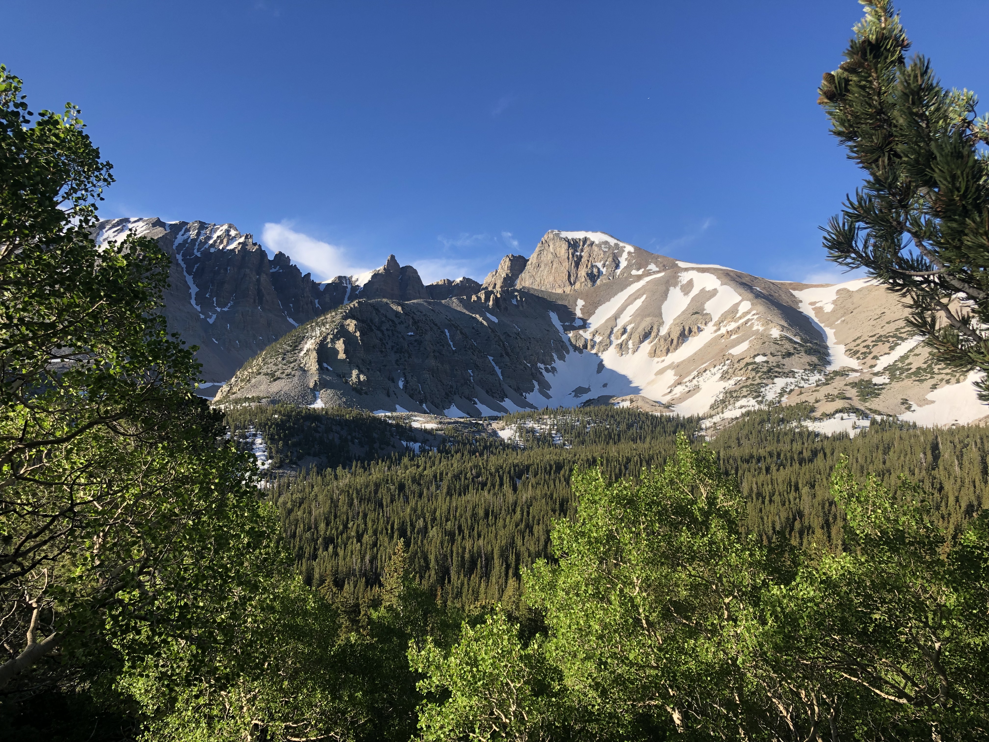
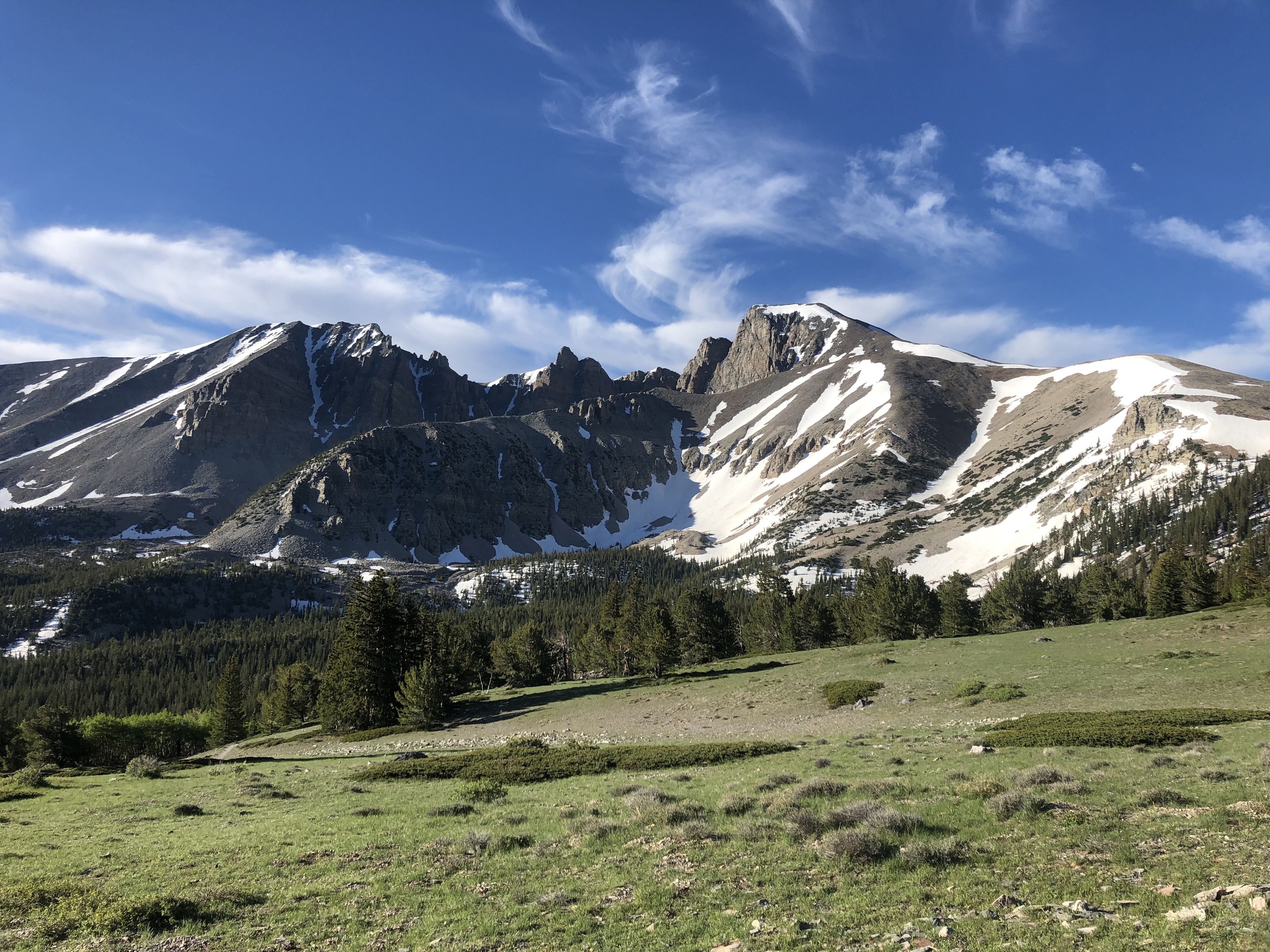
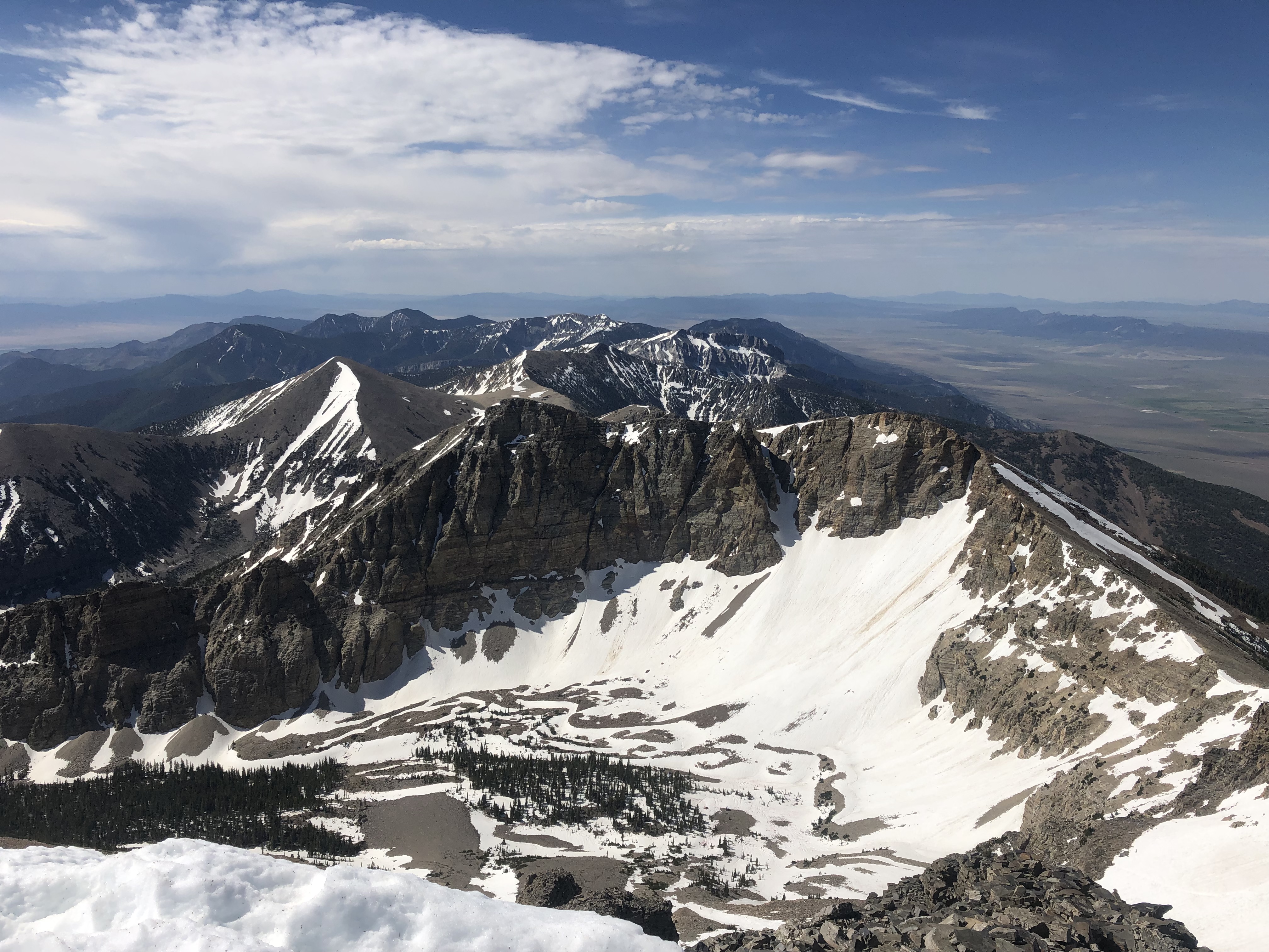
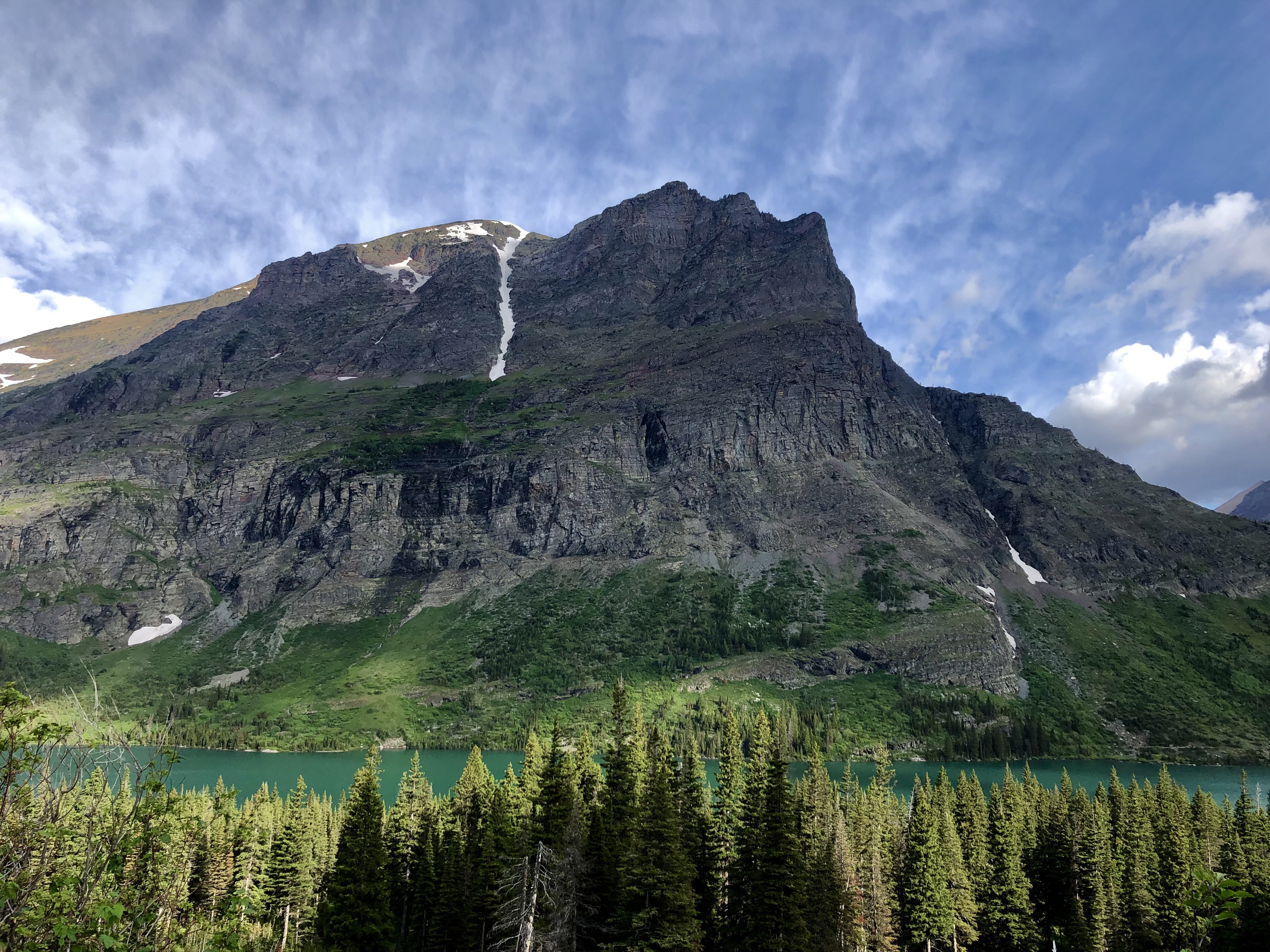
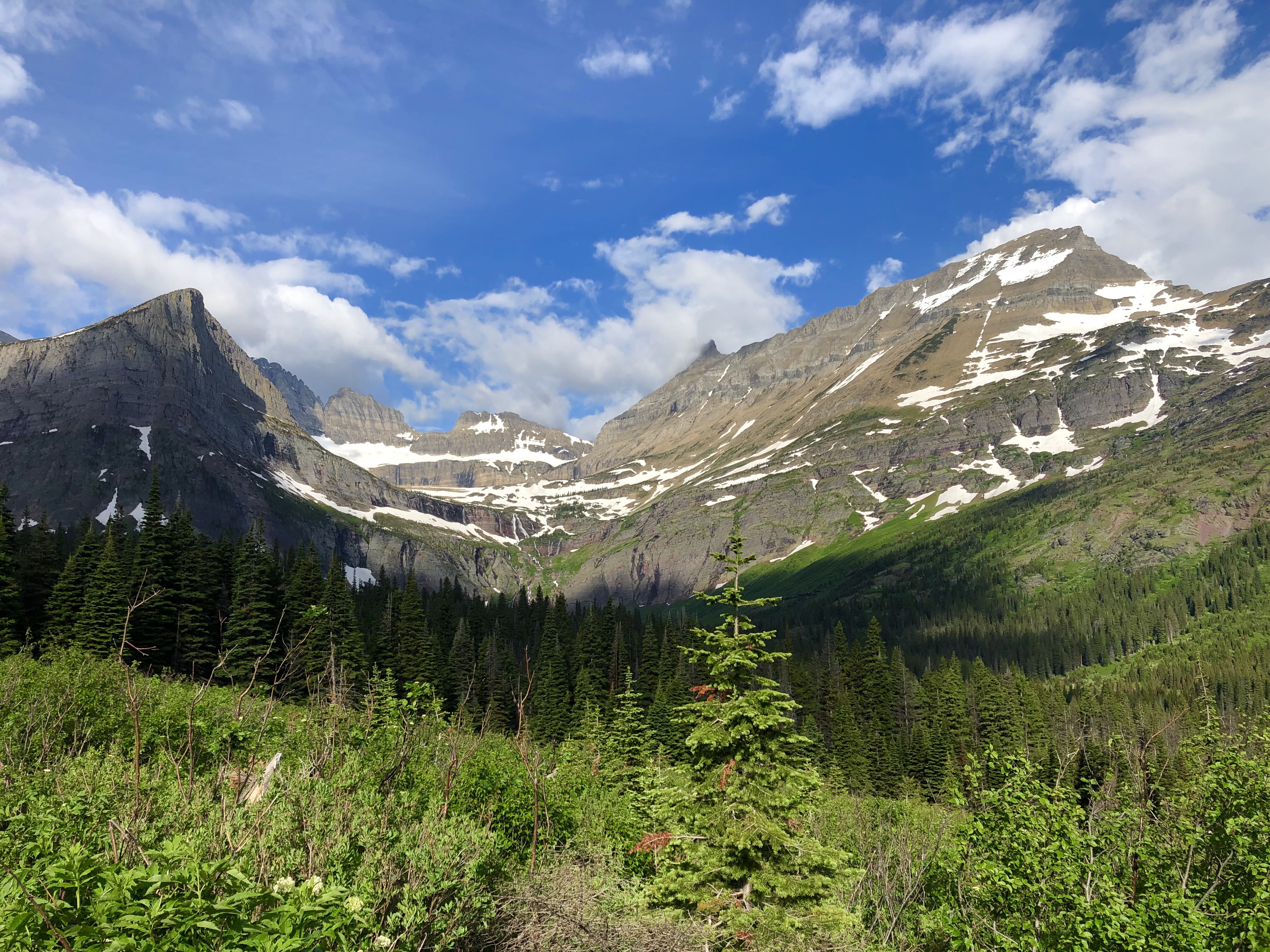
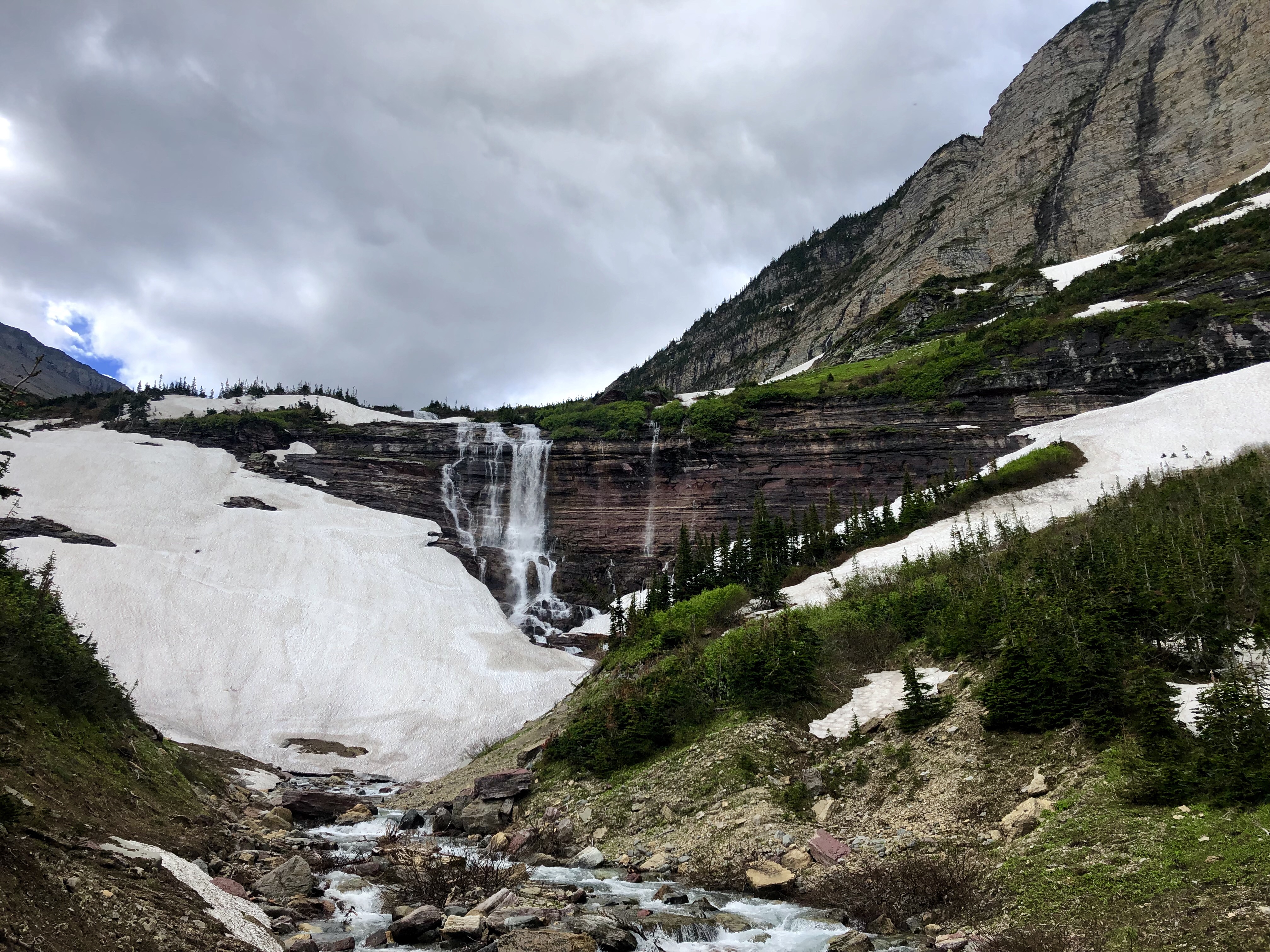
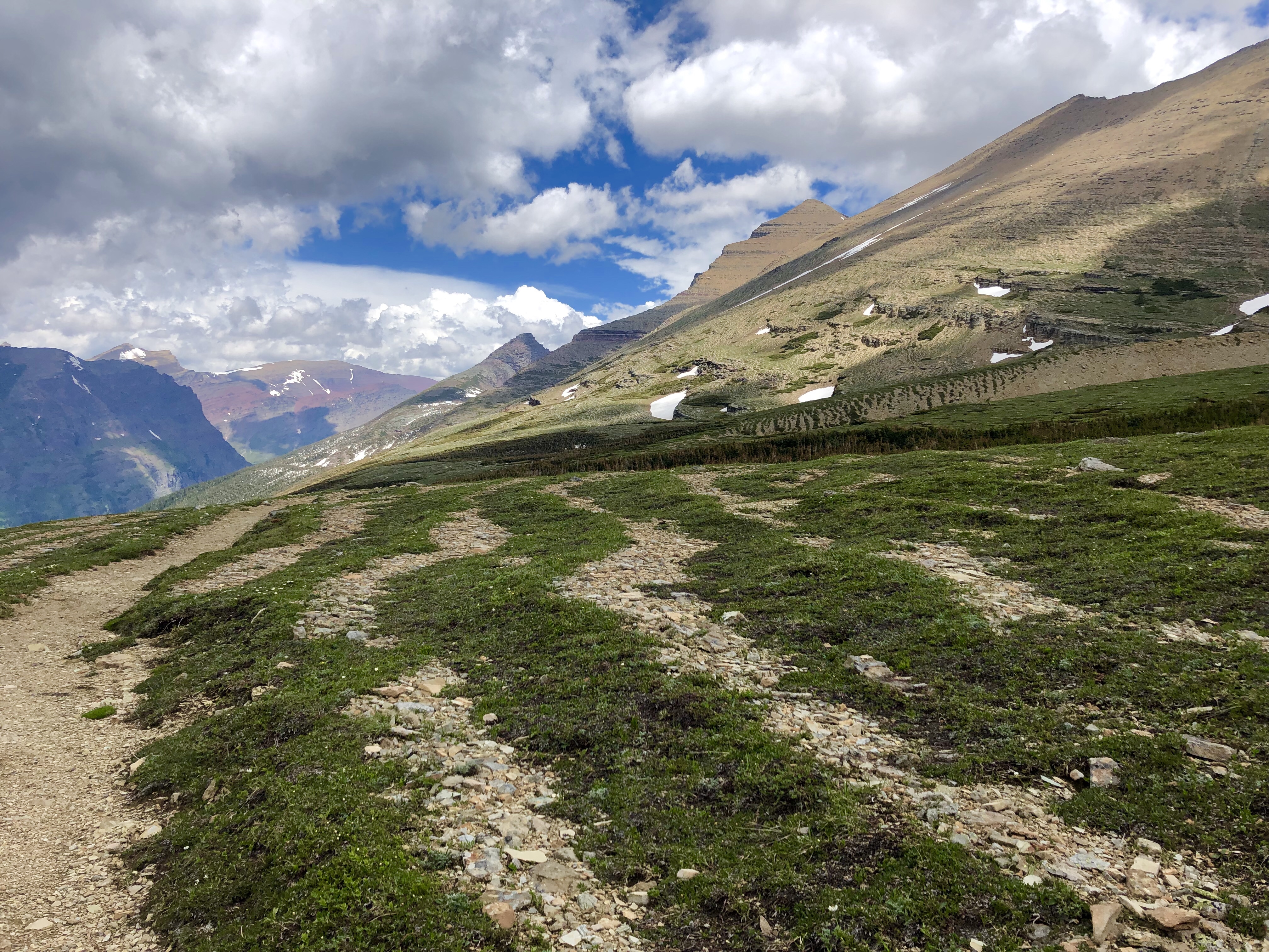
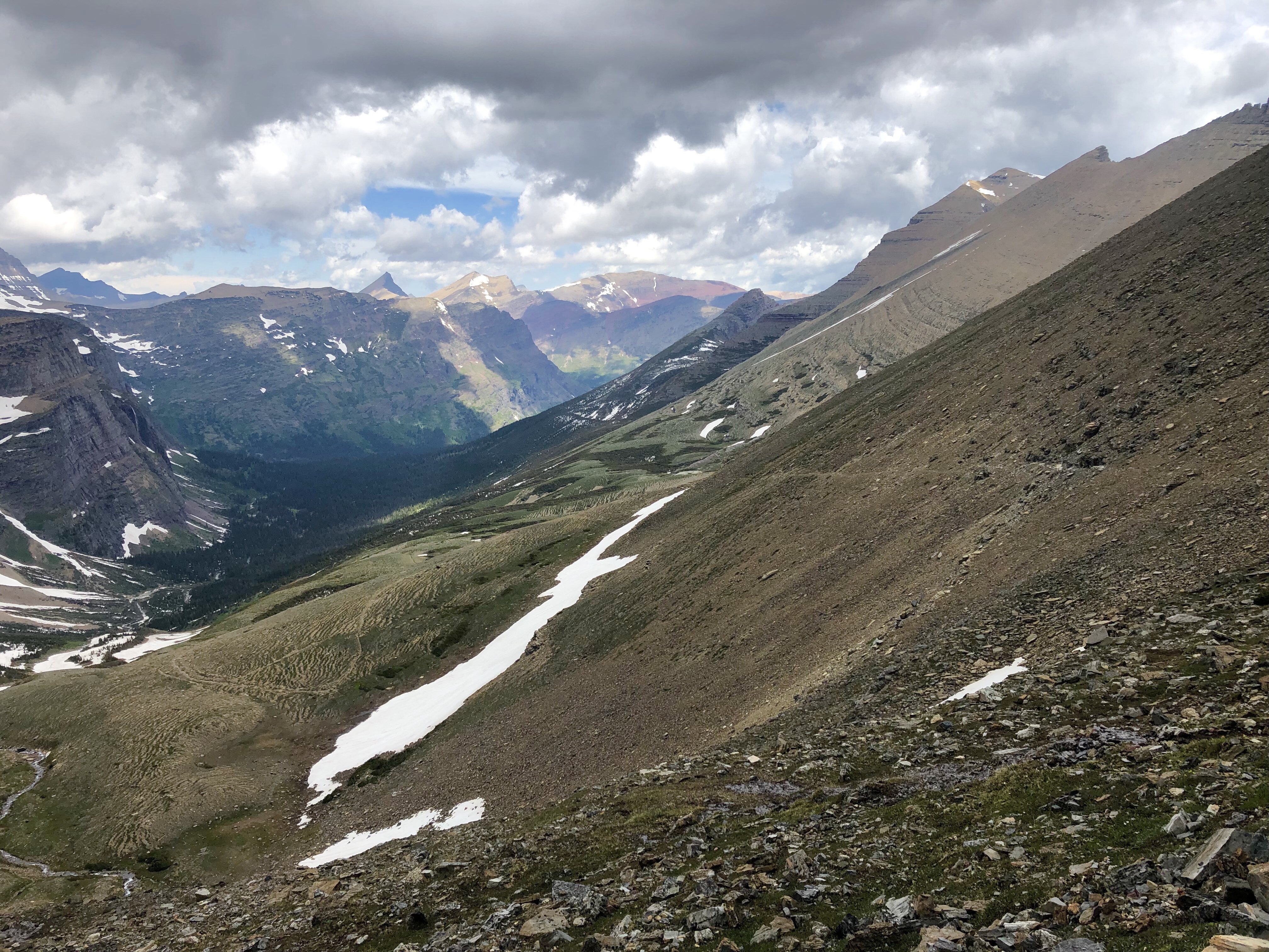
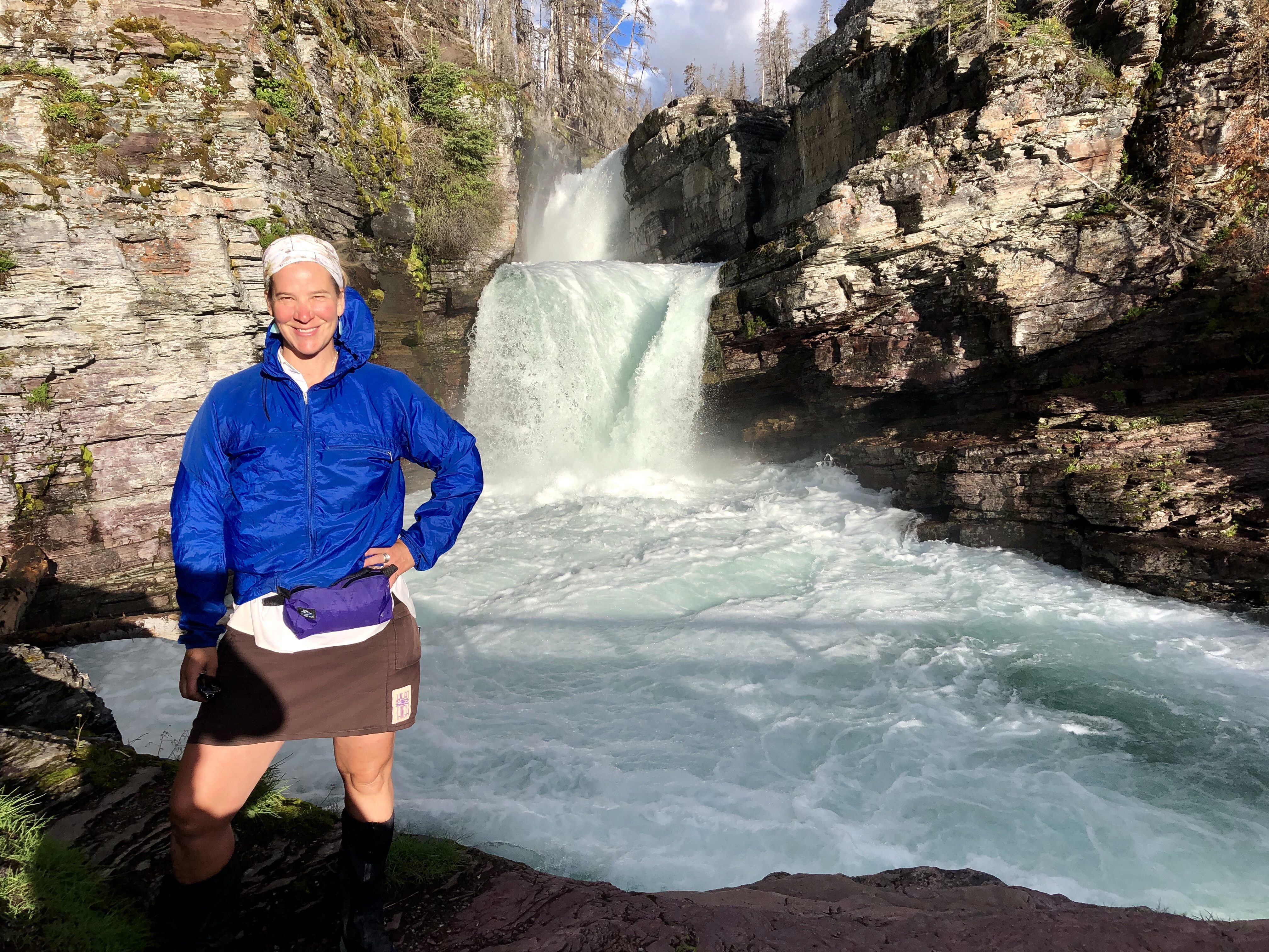
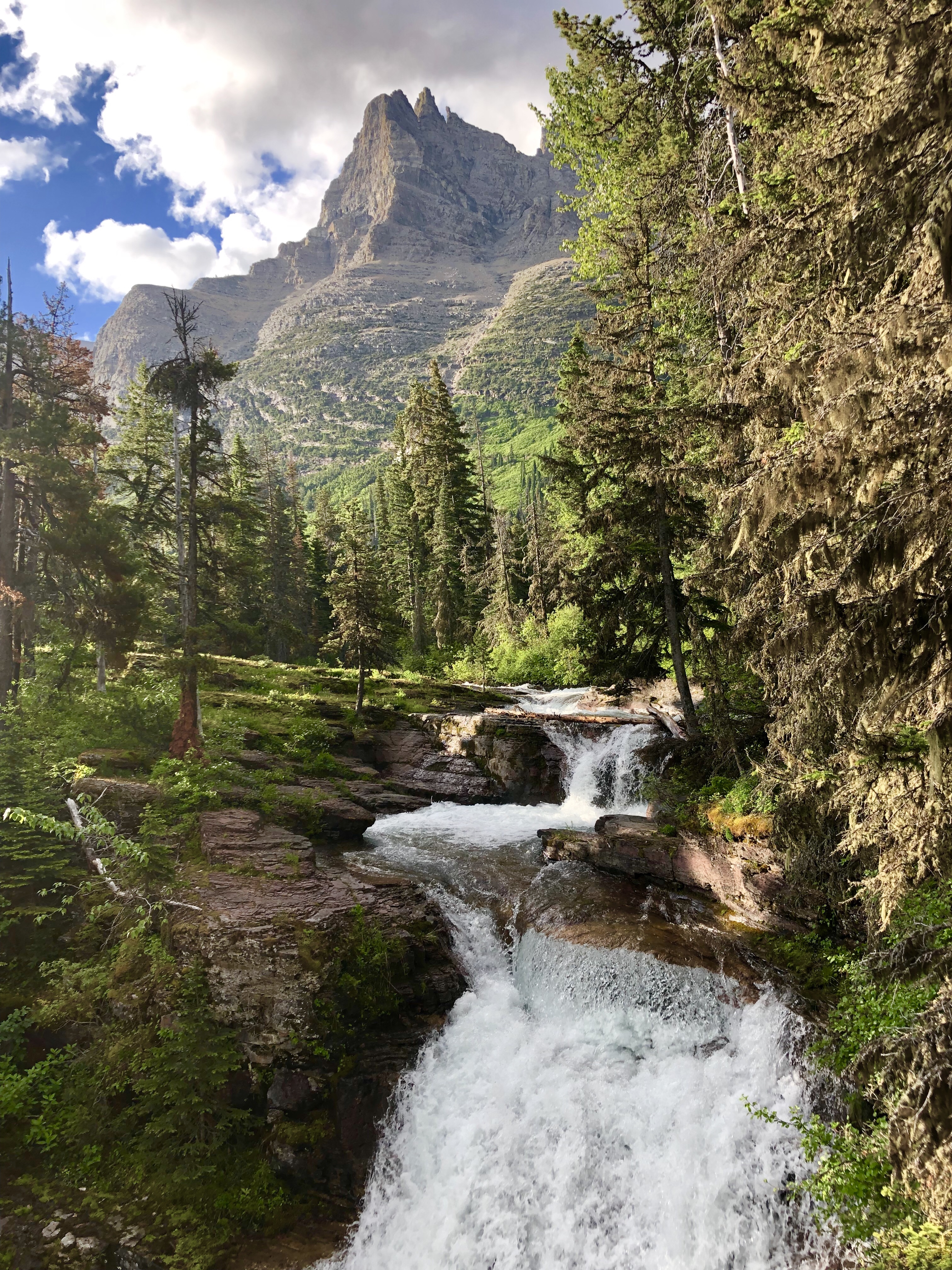
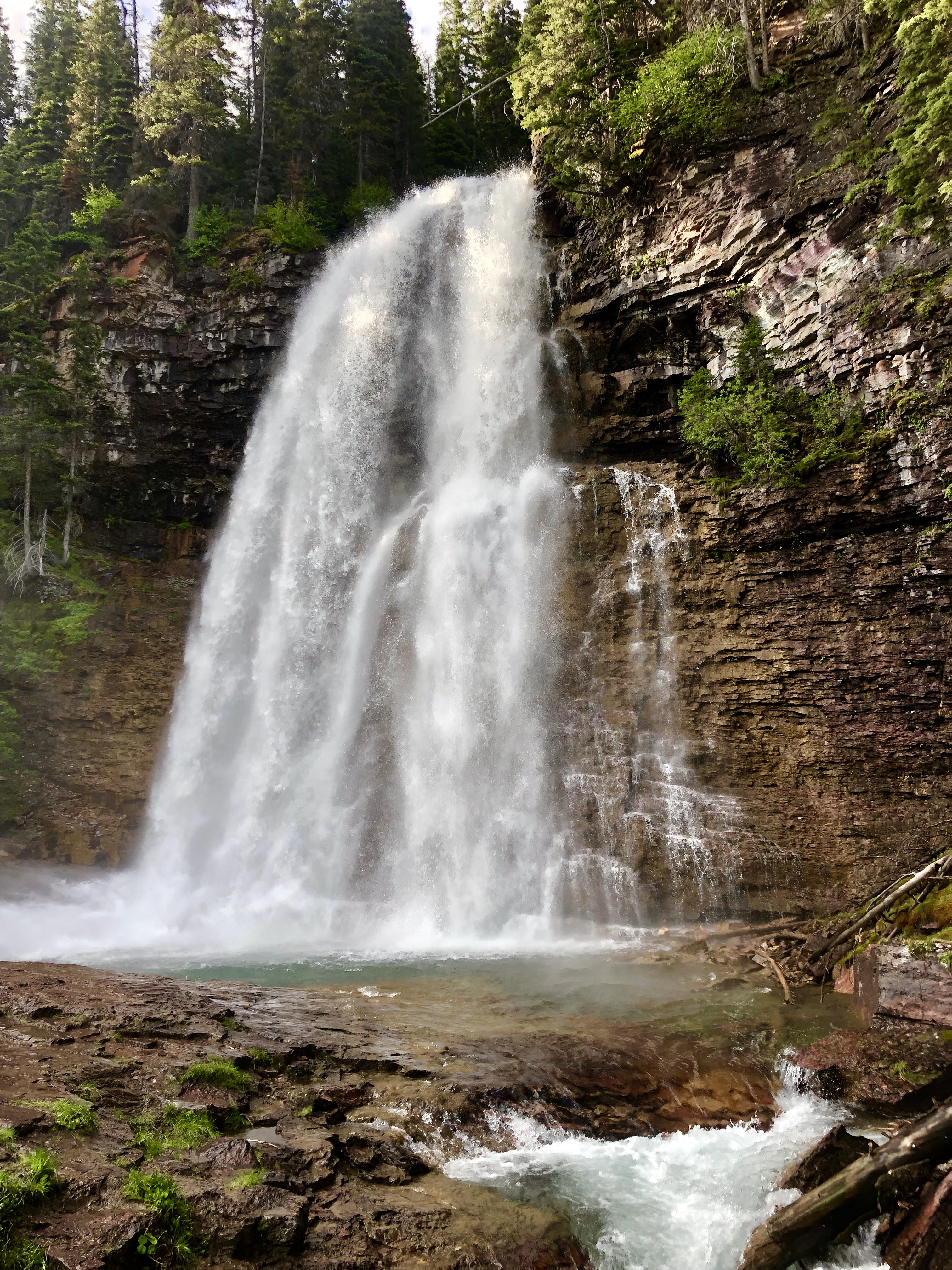
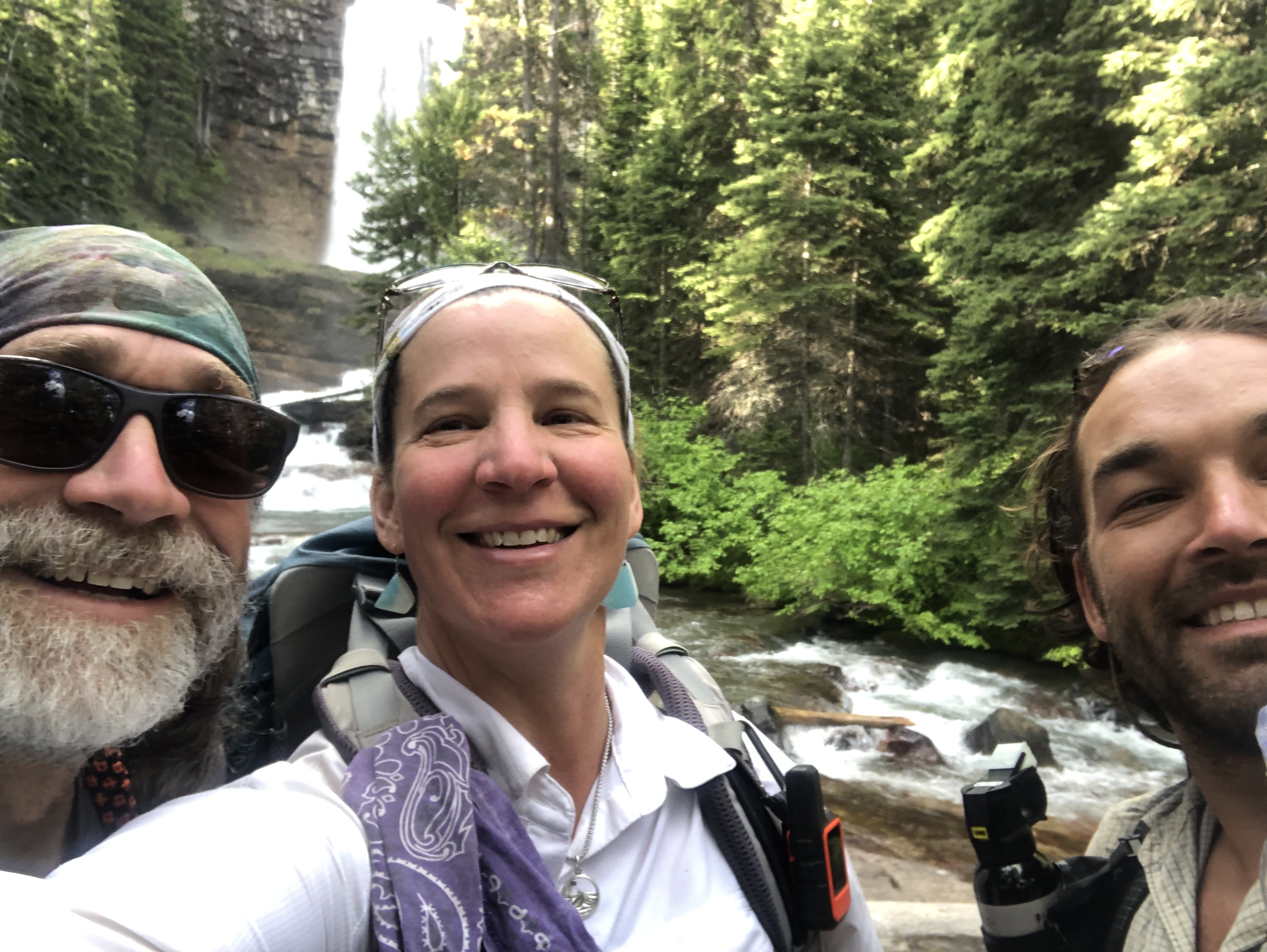
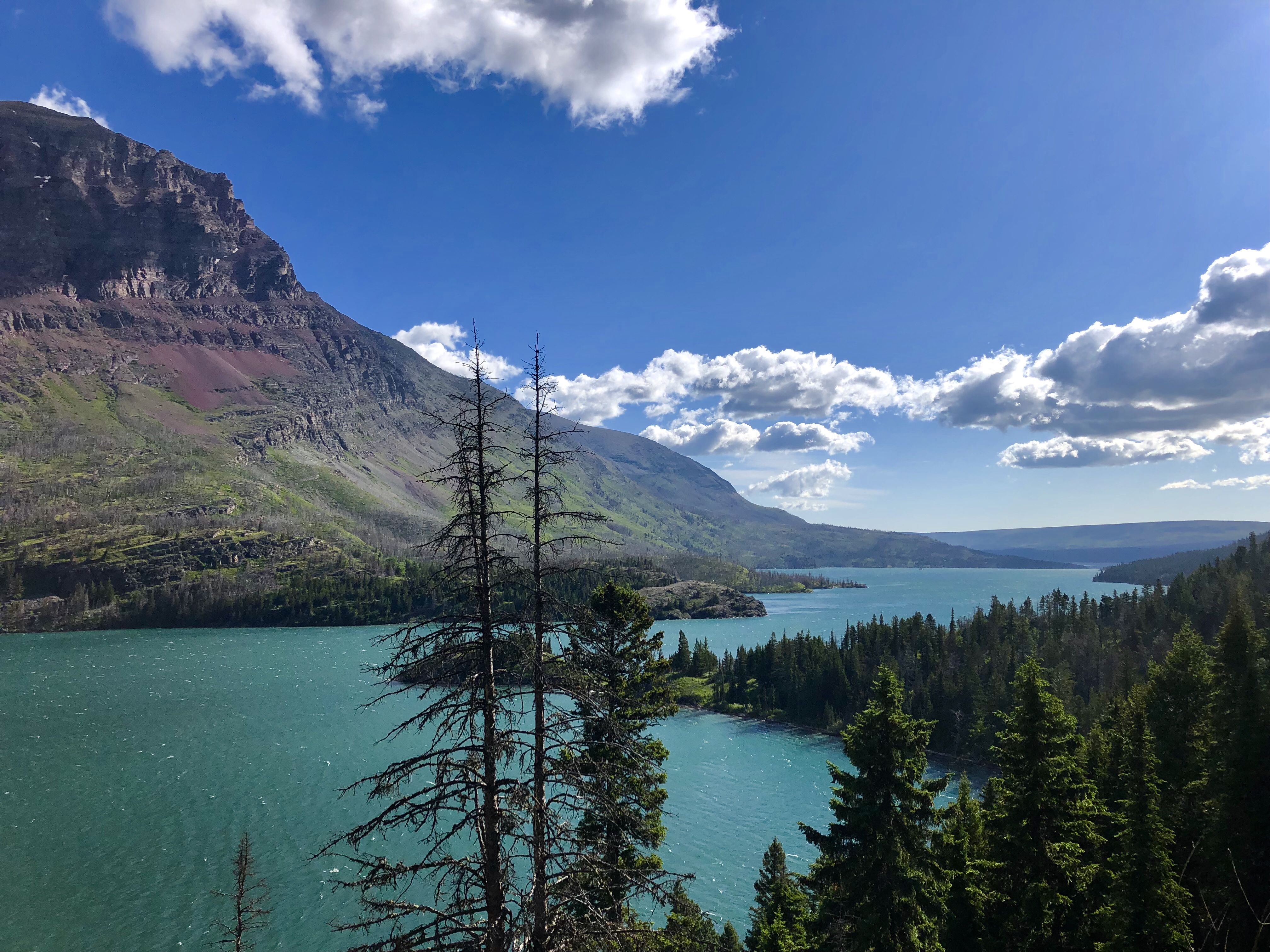
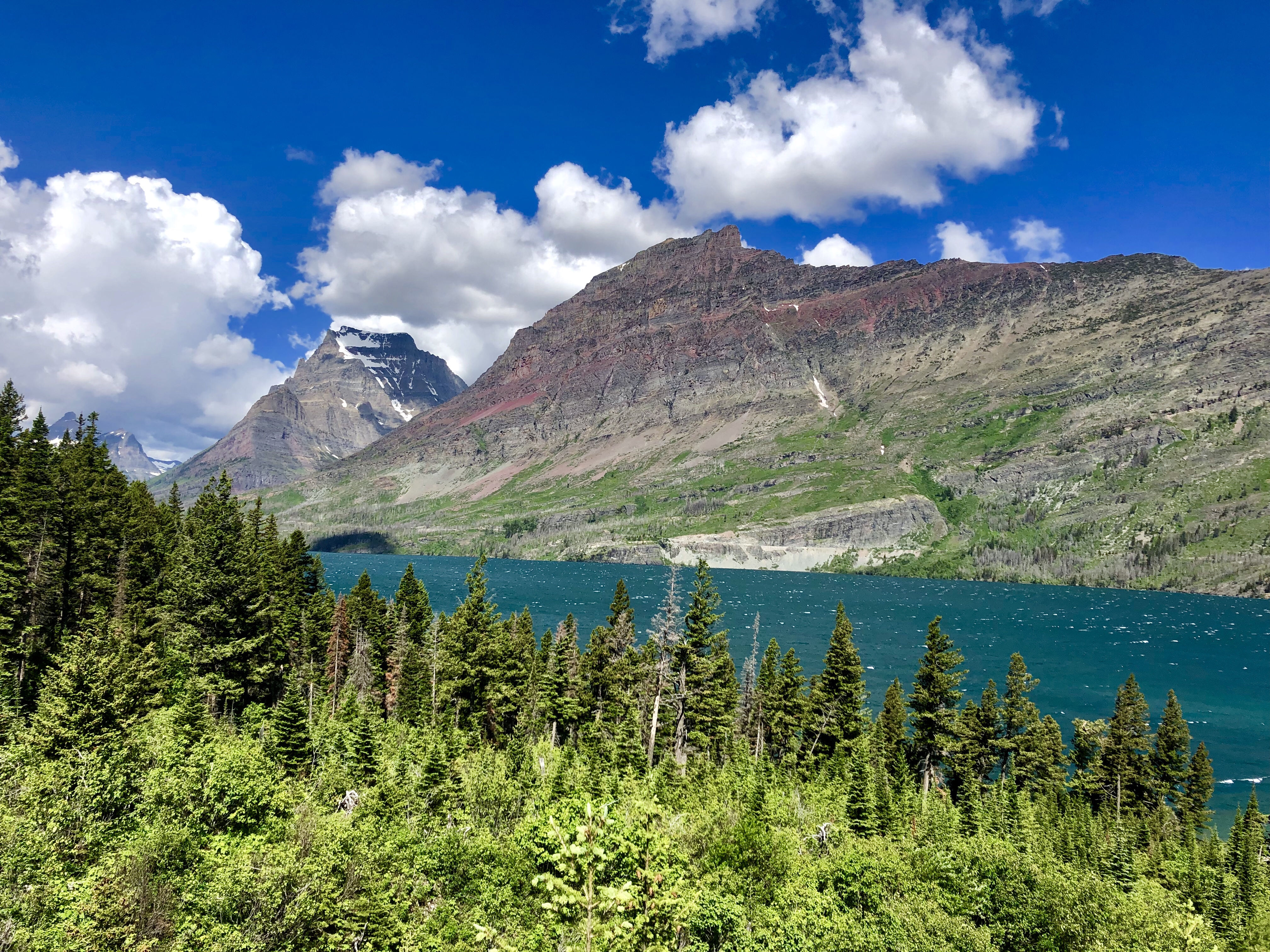
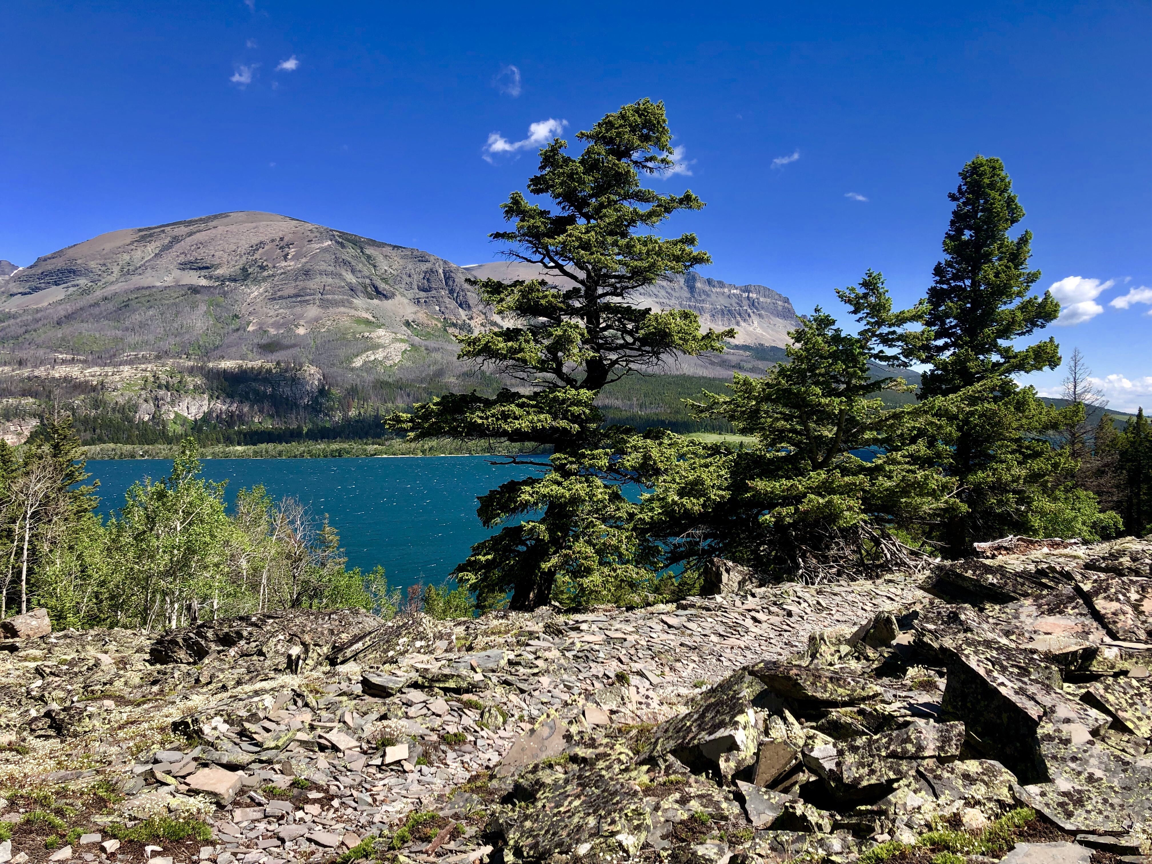
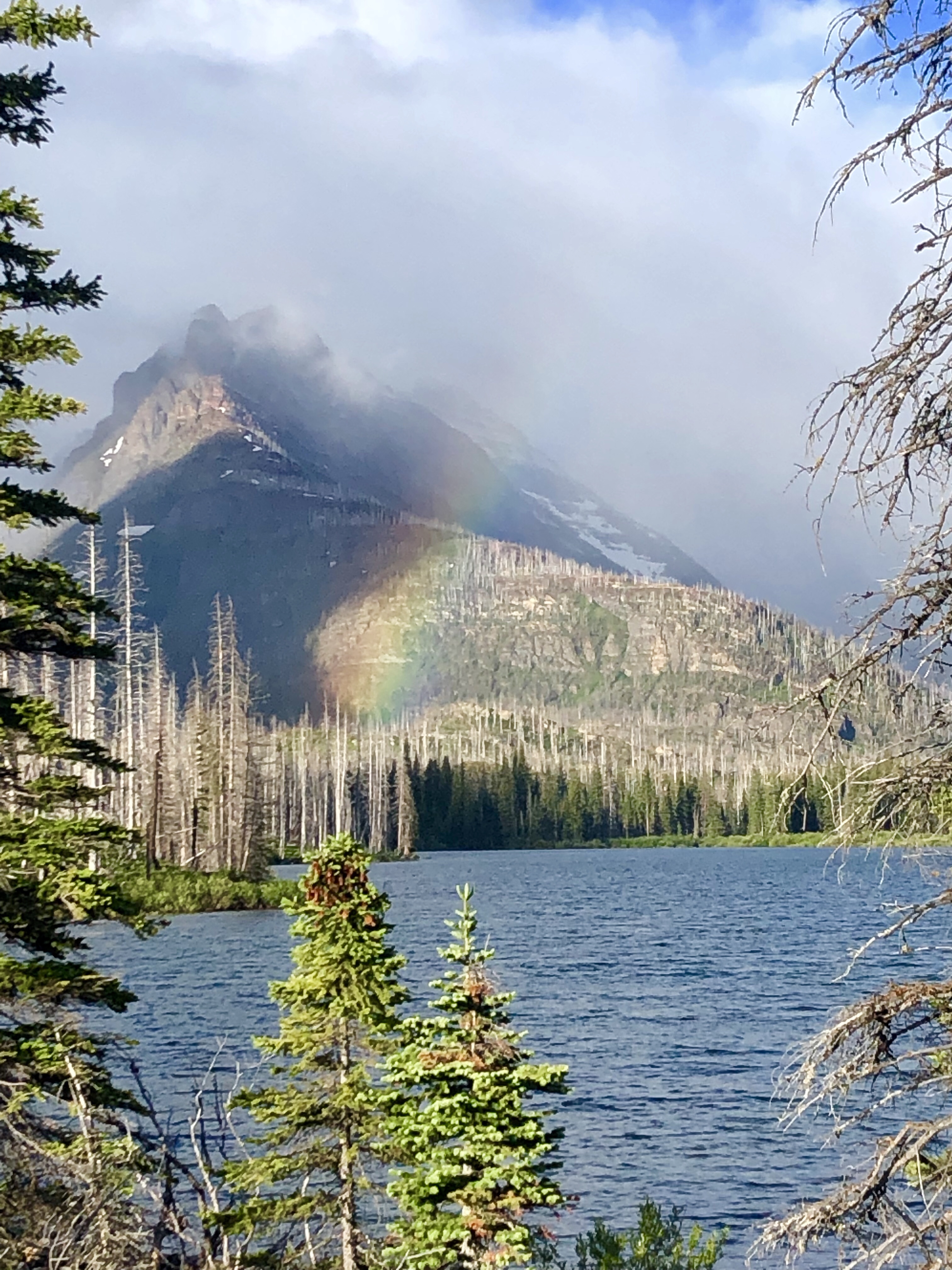
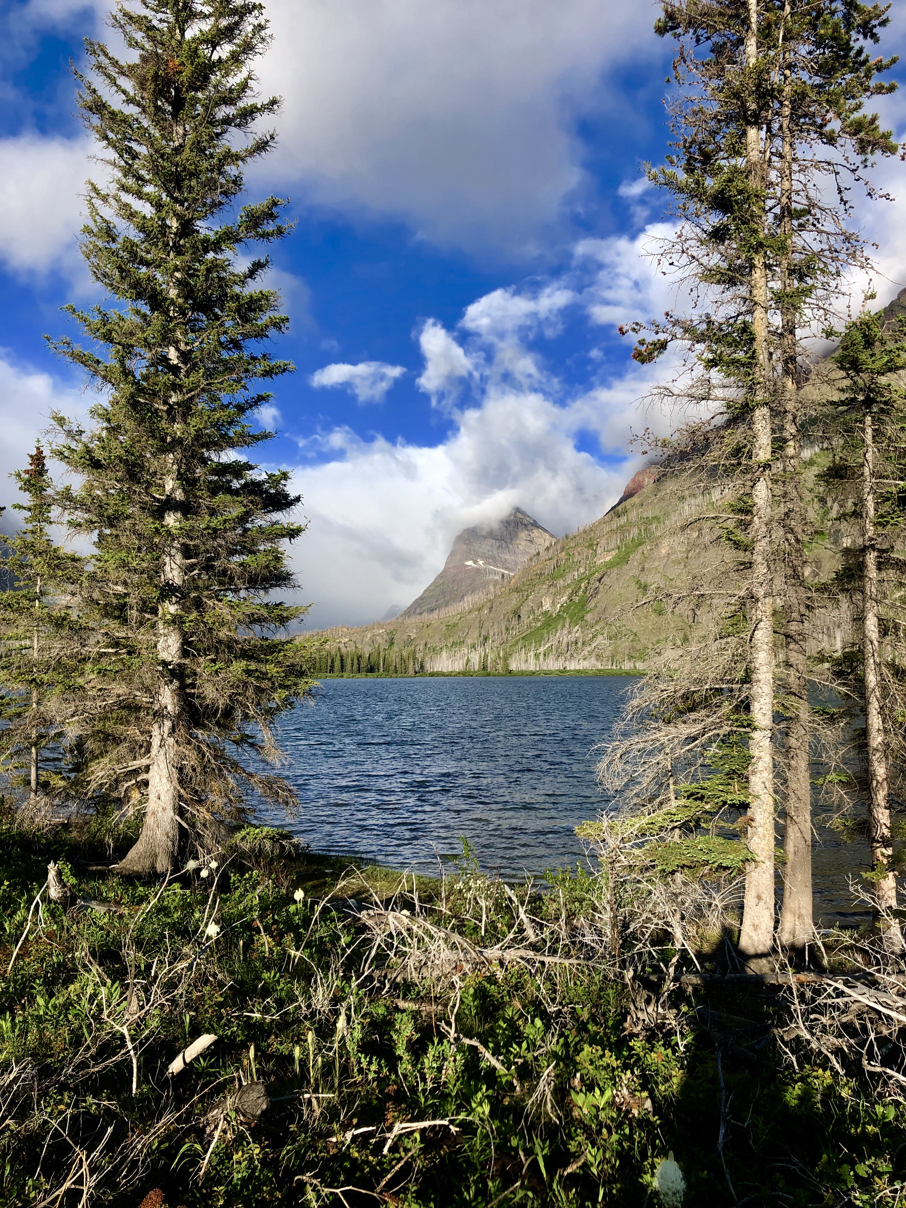
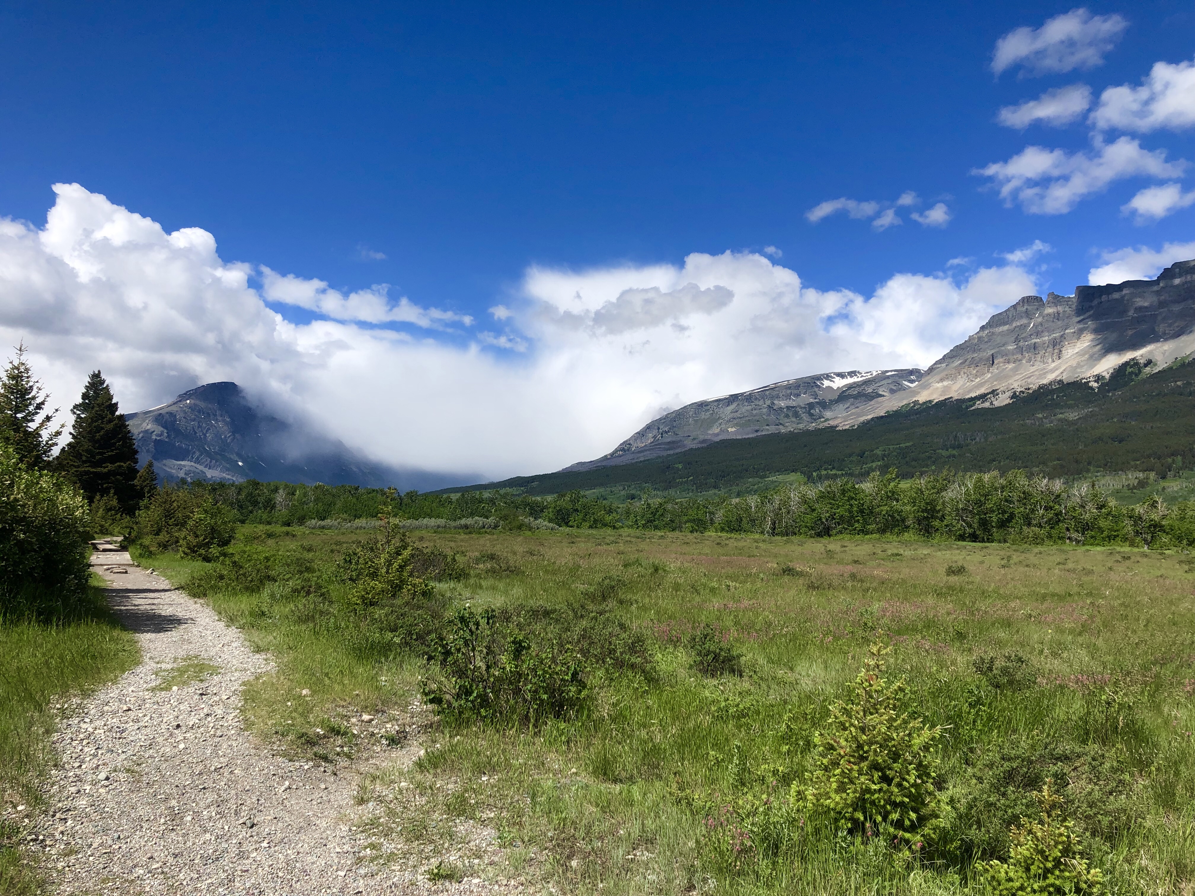
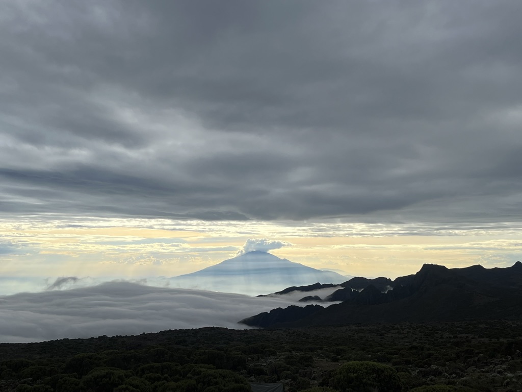
It was a gorgeous, clear morning when we set out to our next camp. The six mile hike to the next camp took us gently and consistently up, but nothing like the big climbs of the day before. I think we were all feeling the altitude at this point, being around 12,000 feet when we were half way through with the day’s hike. The Shira plateau is one of the highest plateaus in the world, and the plant life is very unique. We started to see lobelia, different from the ones we saw in the jungle. When the moorland lobelia bloom, they send up these giant bloom columns which attract all kinds of birds, my favorite bing the malachite sunbird that we first saw yesterday. We took a break near our first Giant Senecio plant just as it started to rain. Also at this time Pascal, Venance, Happy, and Ibrahim came down the trail to relieve us of our day packs. They took Fredrick’s pack too, as his is pretty heavy since he carries the emergency oxygen. Shira 2 Camp had an incredible view of the whole plateau, and of some very interesting rock formations. As the weather cleared we got a great view of Mt. Meru, a mountain just west of Kilimanjaro.


Today, December 20th, I celebrated my 14th year being clean and sober. This was the first year that I did not talk to any loved ones. It felt significant to me to celebrate in my favorite way; hiking, exploring new landscapes, and sharing meals with new friends. This was more than enough, perfect in fact, and it was a very memorable celebration.
I love my life.
December 21: Shira 2 Camp to Lava Tower than back down to Barranco Camp
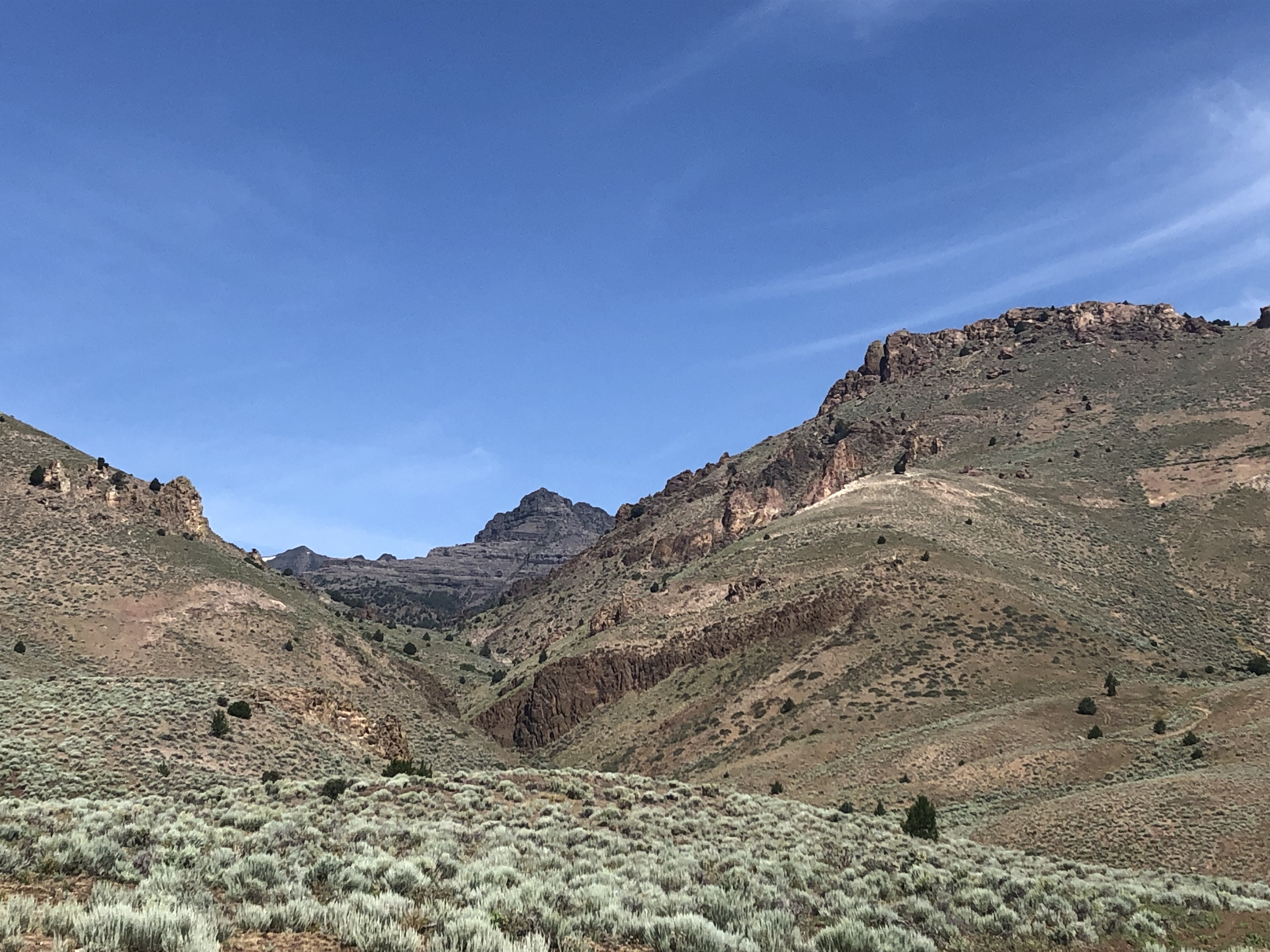
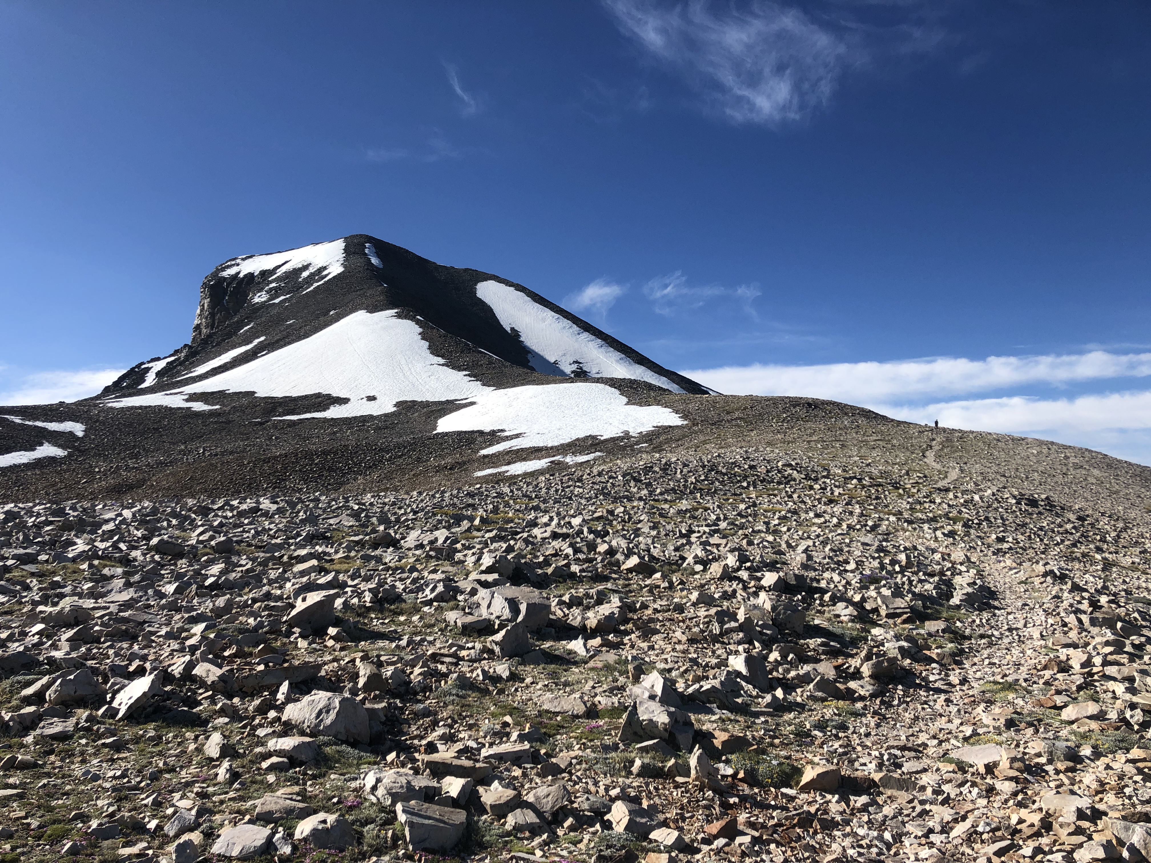
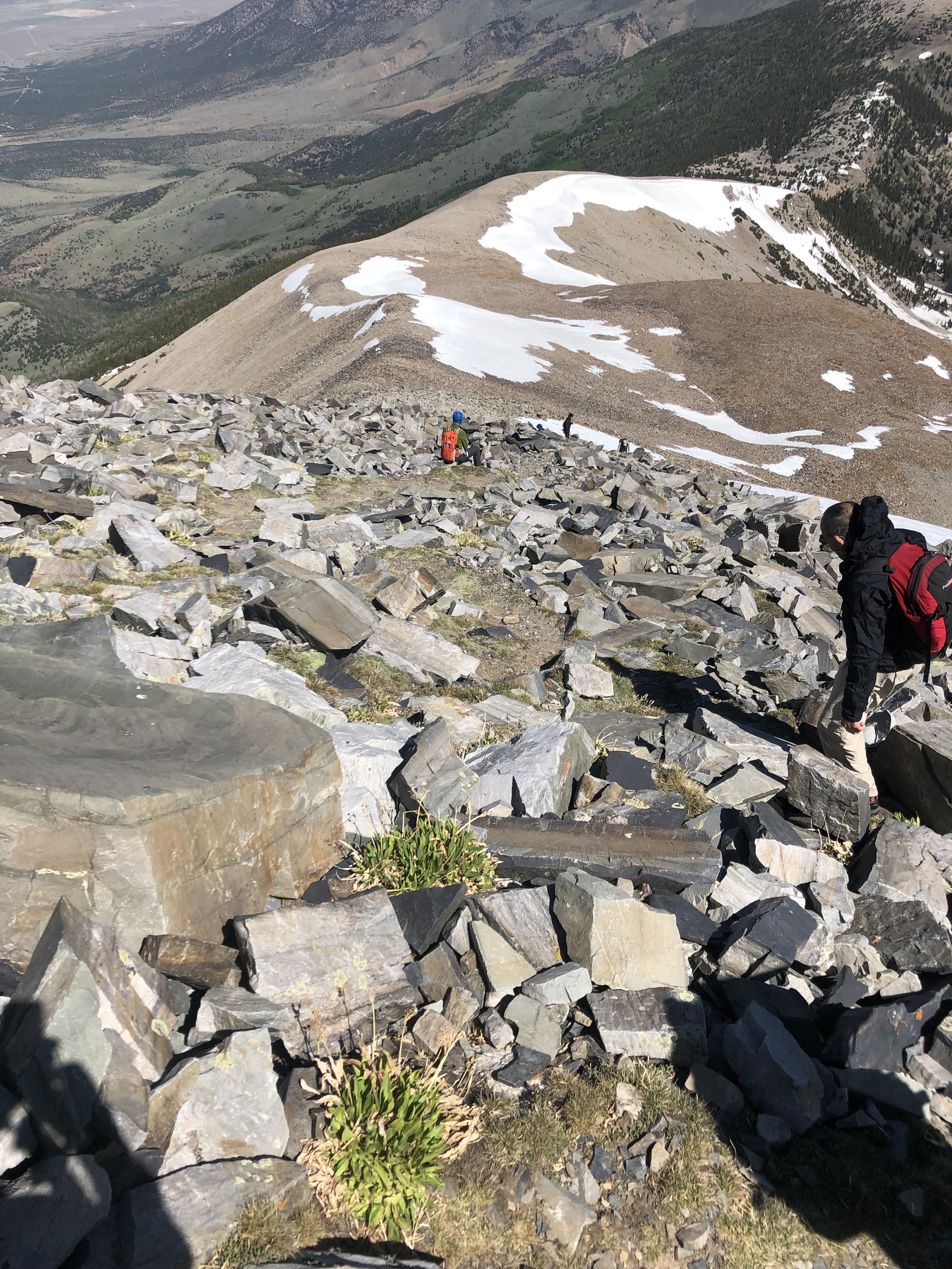
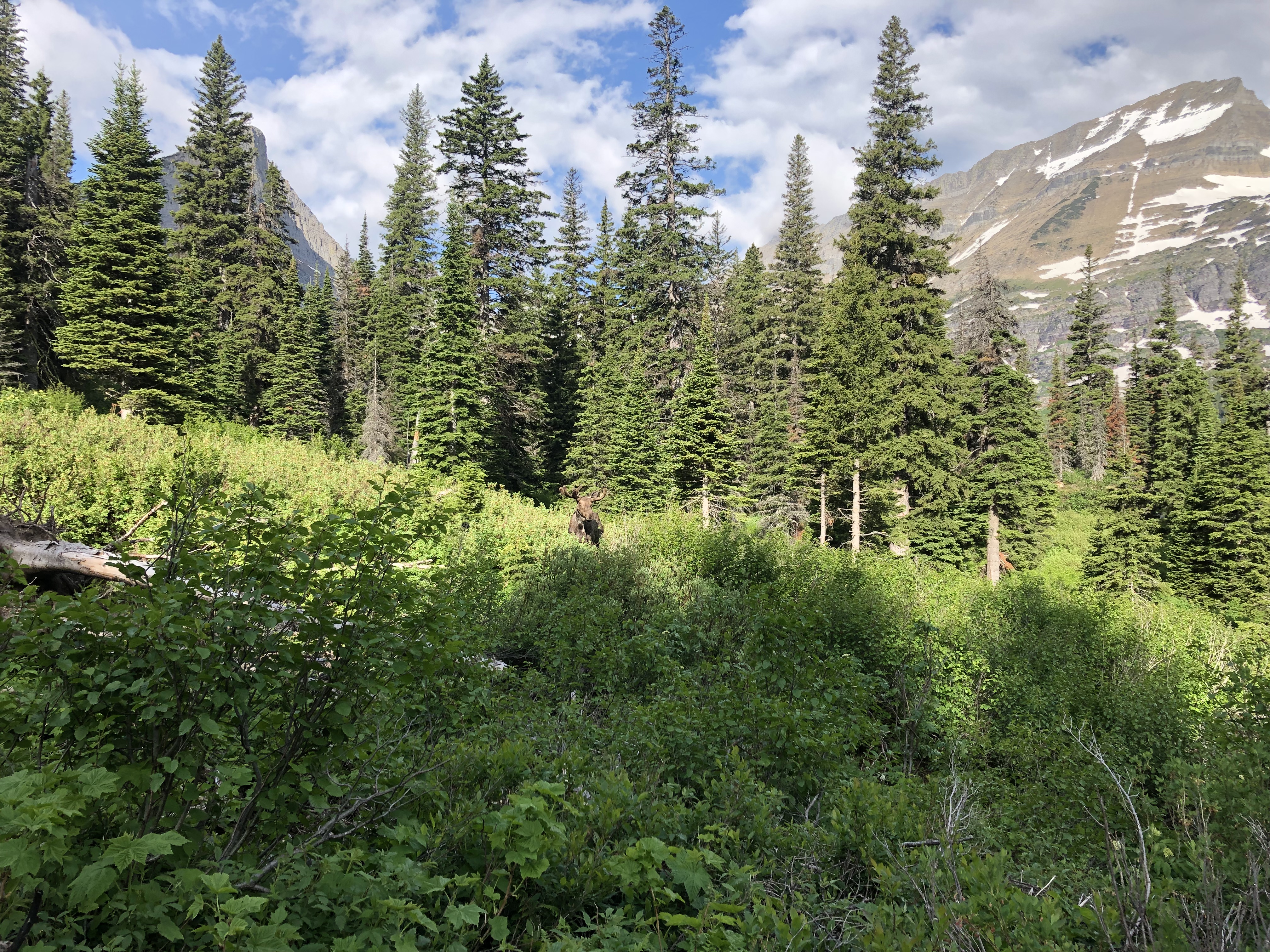
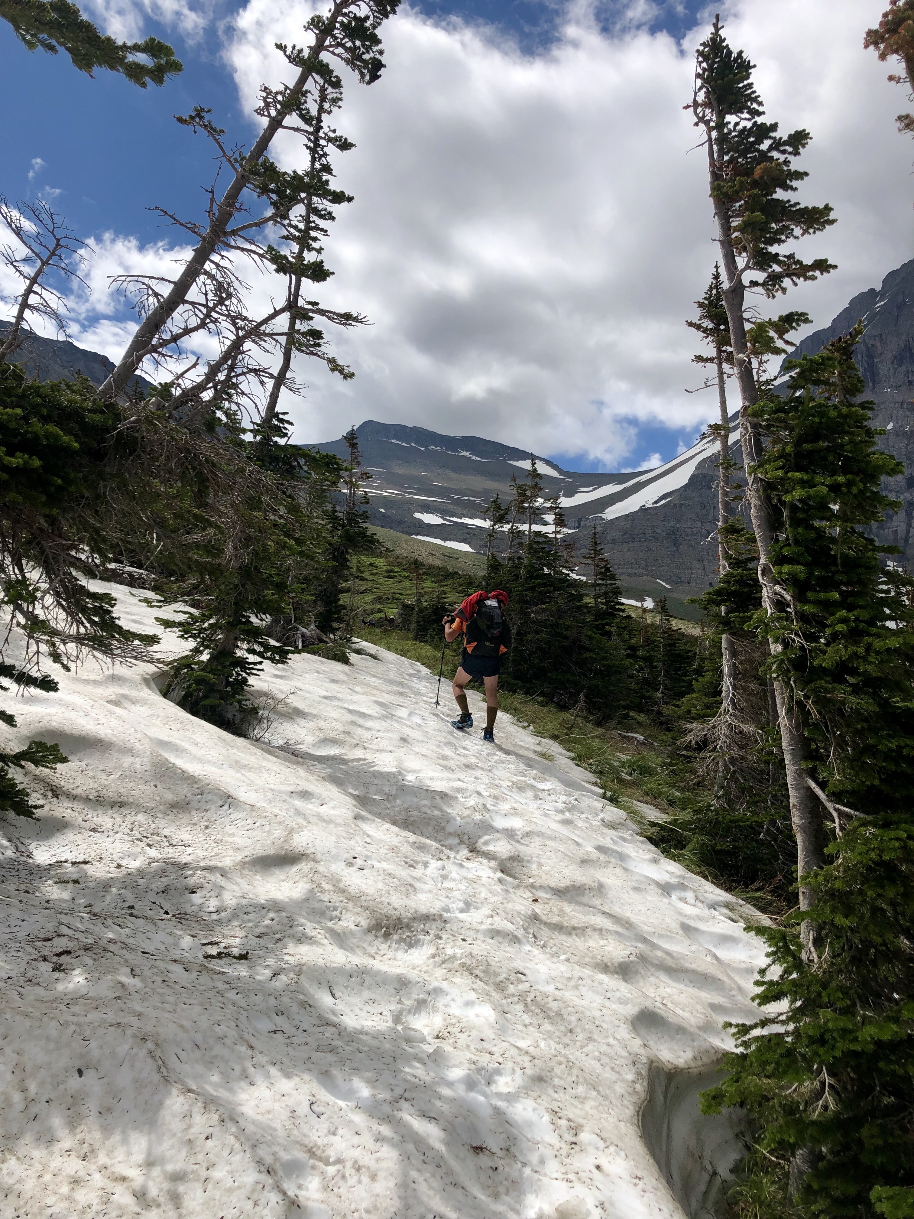
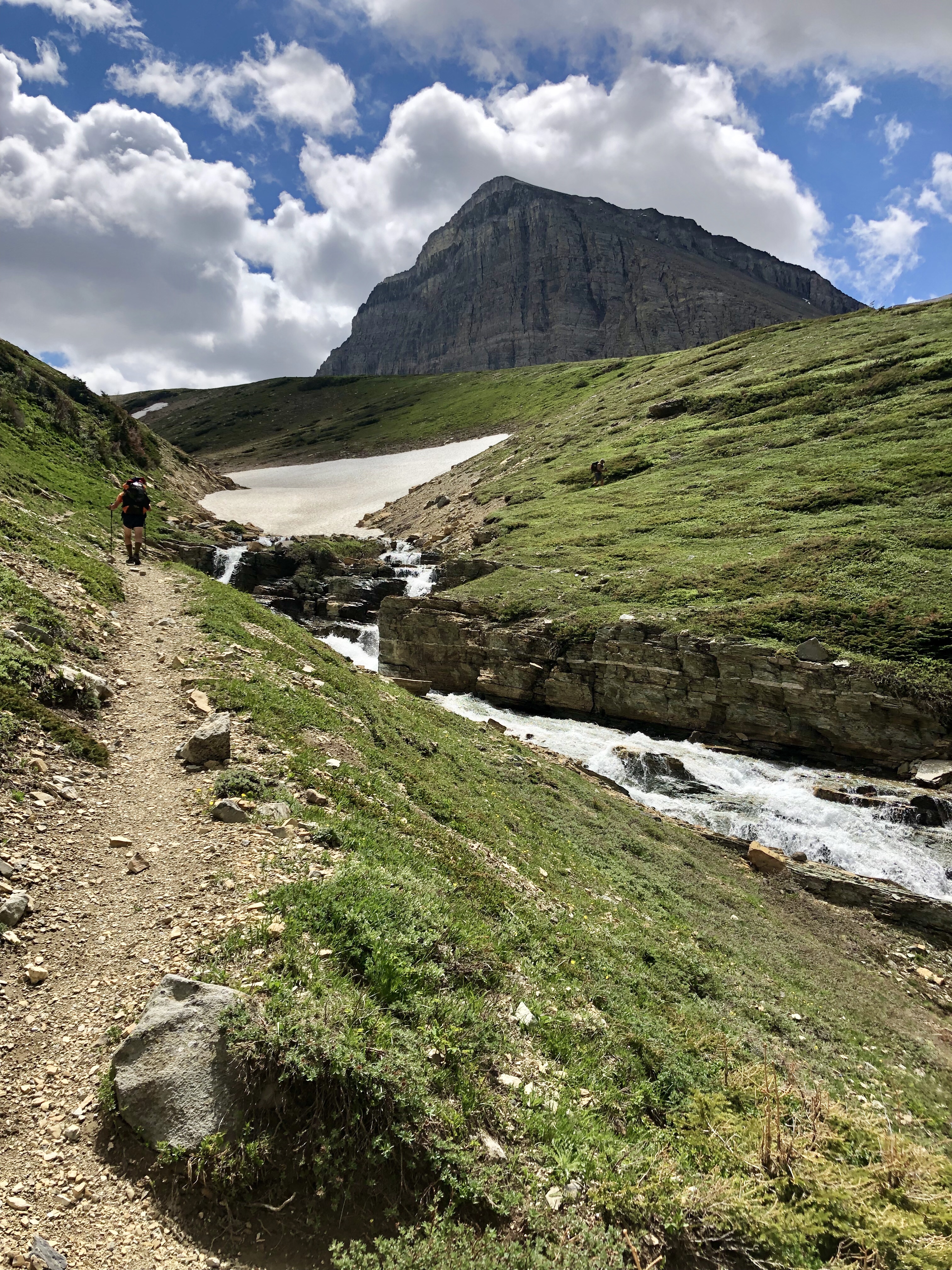
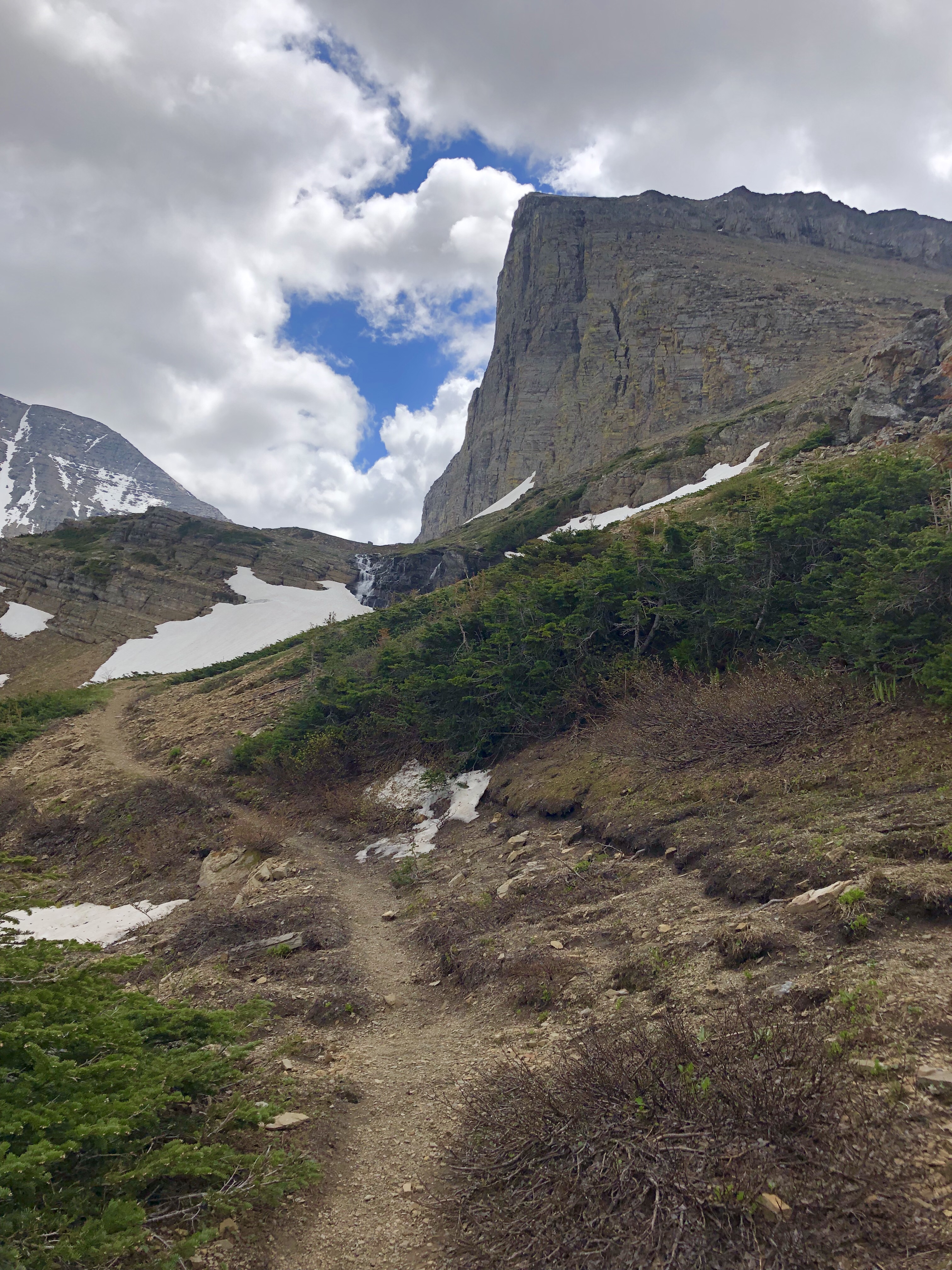
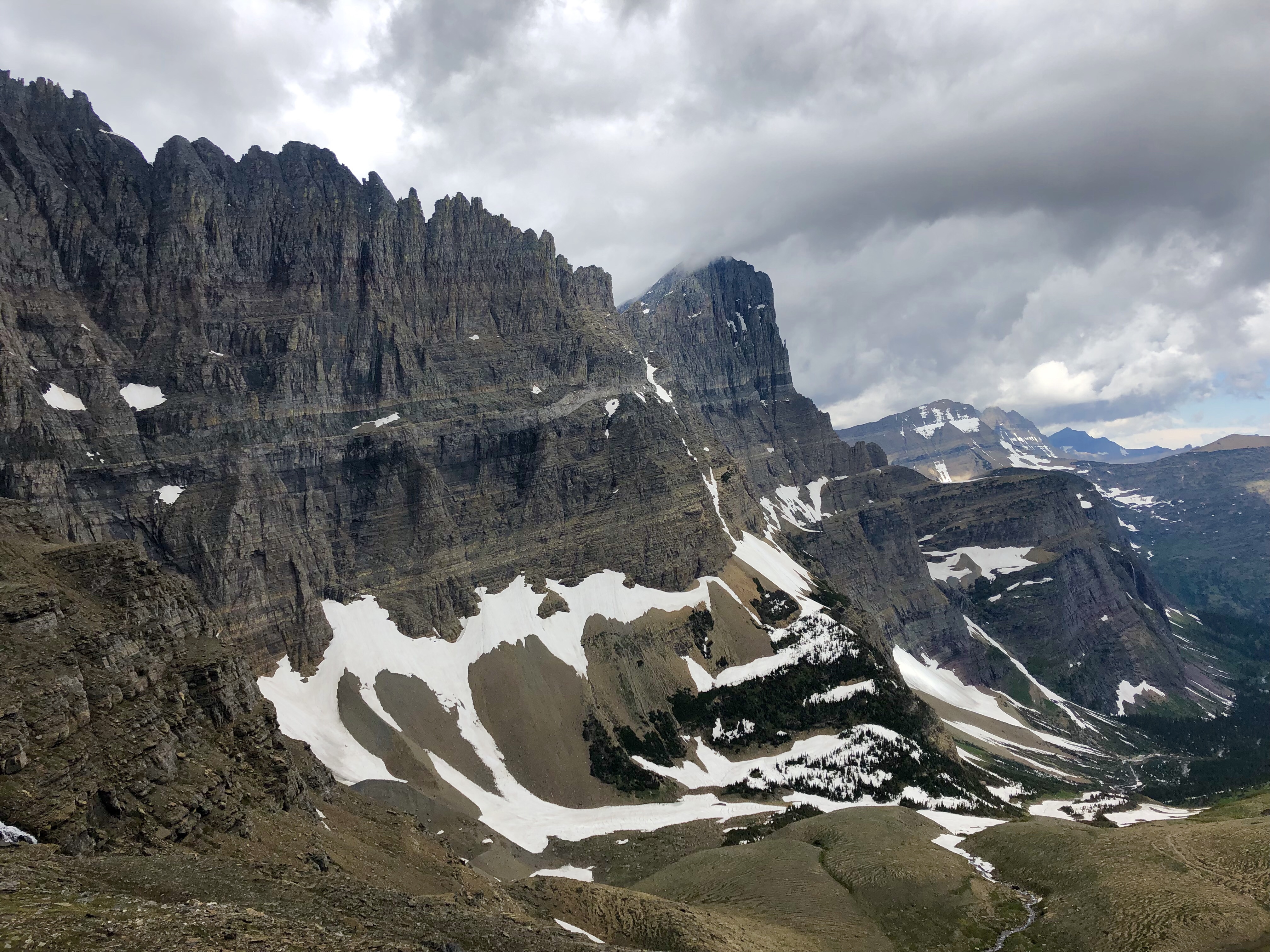
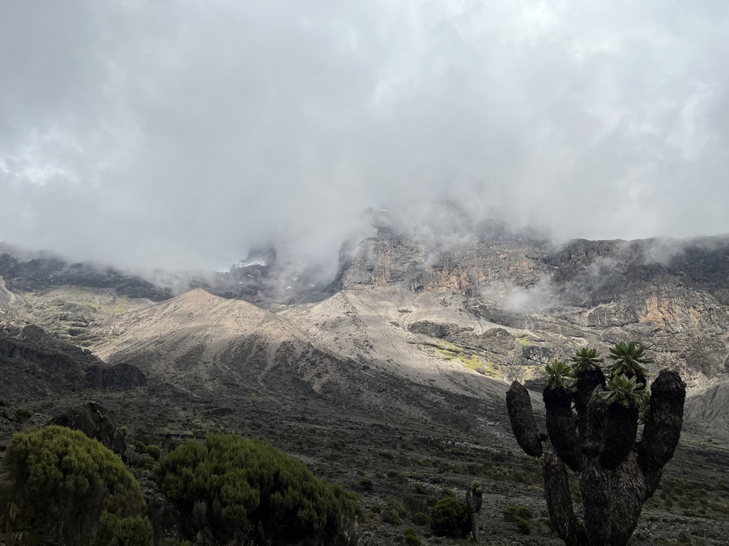
Today was a big day. We knew we had another big climb. I was super excited to see the Lava Tower, which is a volcanic plug at around 15,200 feet. I love stuff like this and I was very much looking forward to seeing it. It was clear when we got started, and our three mile hike to the tower took us straight up. The trail leveled out somewhat, but we gained over 2,000 feet in three miles. I forgot to mention that we saw a dikdik the evening before, and we saw one again as it crossed the trail ahead of us. Leo saw it right away, the guide from another company did not see it even when Leo pointed it out. Our guides are the best!!!


After a big lunch we began our decent to Barranco Camp. This day was designed as acclimatization. We learned later that Fredrick and Leo also used it as a way to gauge whether or not we would be ready to summit in a couple of days. It was a tough day. The decent was gorgeous, and we were all in pretty high spirits, I think. We saw a ton more of the Giant Senecios, and more malachite sunbirds feasting on the lobelia blooms. We were all happy to get to camp.


Right before dinner, I felt nauseous and vomited up my electrolite water. Fortunately I was able to hold on to lunch. That was too good to lose. I was able to eat a little dinner, but not much. Leo and Fredrick told me it was very normal to be sick. Meagan had a bad headache, which they said was normal as well. Francisco was very kind and gave me some Tums, which helped. It was a fitful night of sleeping.
December 22: Barranco Camp to Karanga Camp
I woke up feeling ok physically, and great mentally. Still a tiny bit of nausea but overall much better. Overall, I have been feeling great on this trek. My training paid off, and while I was a bit sore from the downhill yesterday, my body and brain felt good.
I dreamt about something Fredrick was telling us about last night. He told us how Antepas’s (our chef) father used to climb Kilimanjaro with ice axes, back in the day when the glaciers where big and covered more of the mountain. He would take clients up to the summit that way, instead of hiking up. Now that is next level. I wish I could have seen the mountain when the glaciers were larger like that. I dreamt of huge ice waterfalls, and I think Hemingway was in there somewhere. And there was something about a rhinoceros but I can’t be sure.
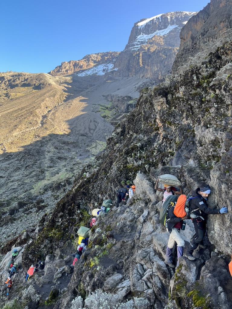
Today is a short-ish hike of three miles and a bit of gain over to Karanga Camp. Climbing the Barranco Wall will be a bit different from our usual trekking, which will be a fun change. It was slow going, and there were a couple of pretty exposed spots, but Fredrick and Leo got us through it safely.


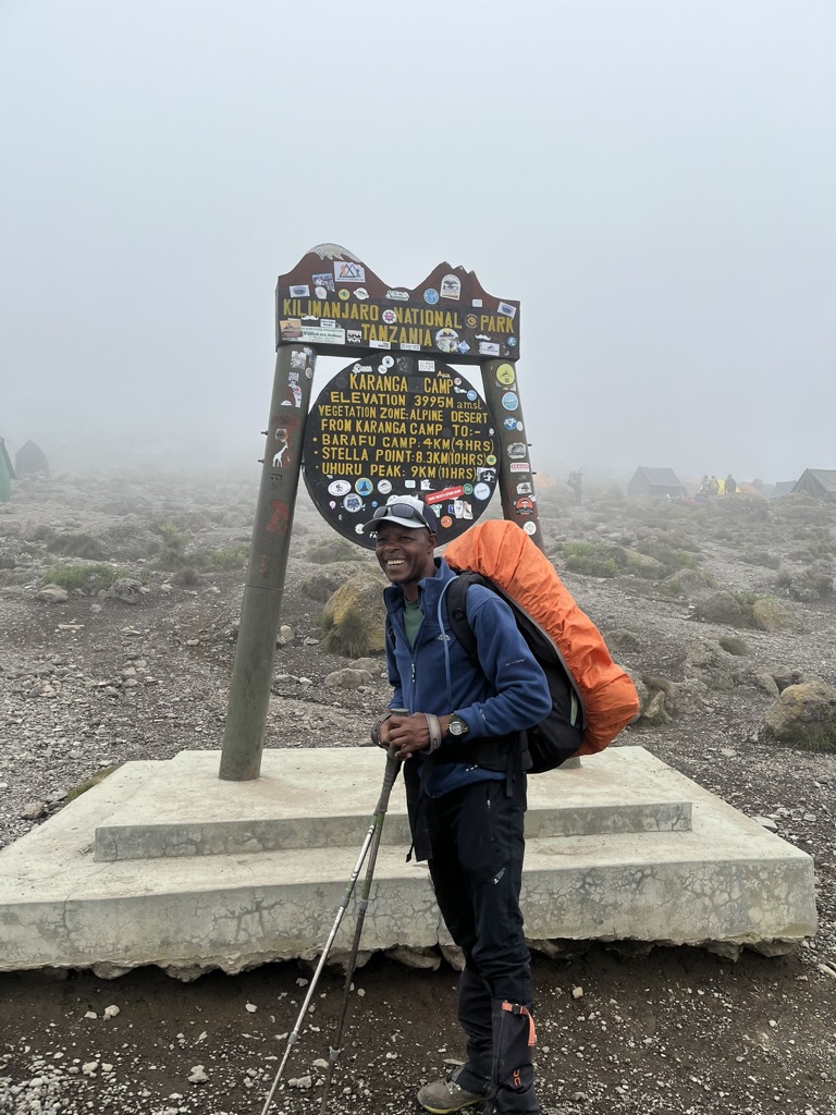
We got to Karanga Camp in the early afternoon which gave us plenty of down time. I rested in my tent, read The Hobbit, and sat in the dining tent drinking hot water. Lunch was nice and plain and from this point forward I tried my best to eat as plainly as possible for my stomach. Nausea is gone but I felt like it could rear its head at any time, so care was necessary. This camp is very steep, and tonight will be our last full night of sleep before the summit bid. I took full advantage of that and slept very well, waking the next day feeling strong and ready for the next stretch.

December 23: Karanga Camp to Barafu Camp
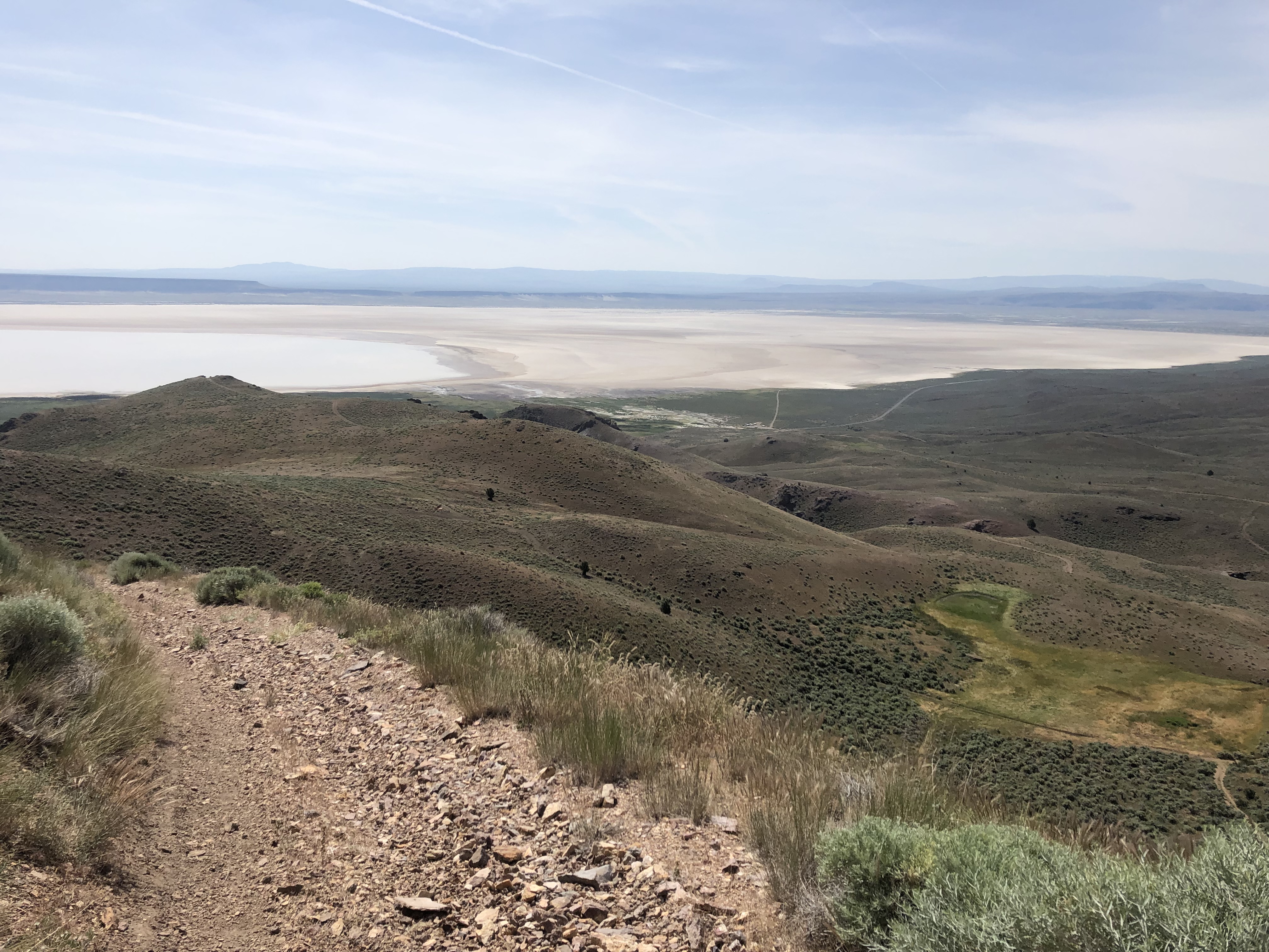
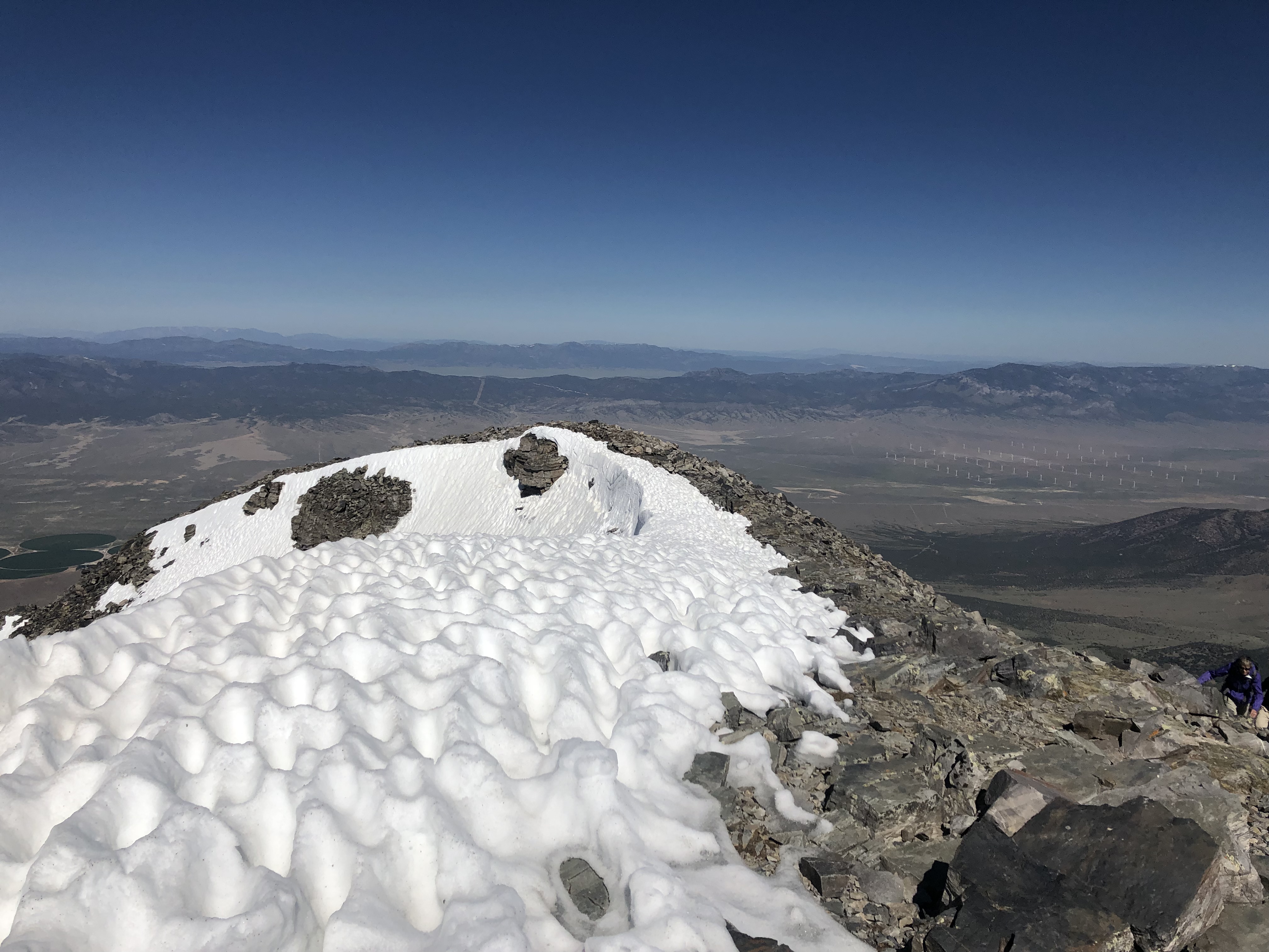
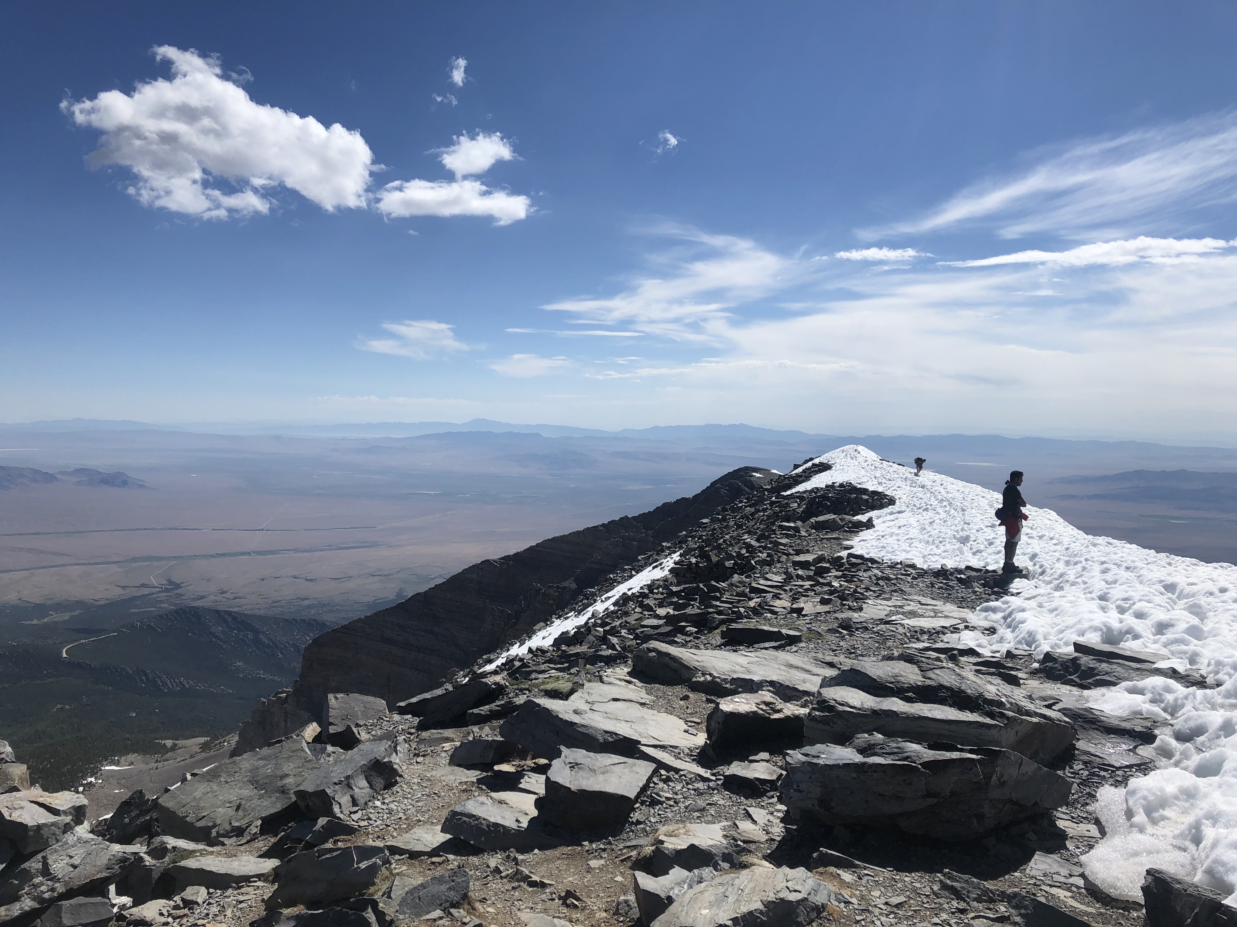
We literally starting hiking straight up out of Karanga Camp after breakfast. I felt good; got a solid night’s sleep and looking forward to our highest camp at 15,200 feet. Both Leo and Fredrick said that we could count of feeling better at Barafu than we did after Lava Tower because we were more acclimatized. They, of course, were right. We had a nice hike up to our camp and I saw my first mountain buzzard, which Leo pointed out to me. At this elevation, we are not in what is called the alpine desert. Not much grows here but there are birds. Of course we have out white necked ravens.


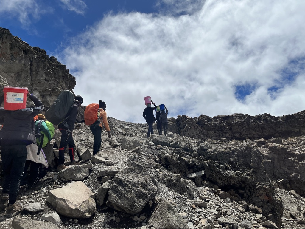
The porters who work on Kilimanjaro are incredible athletes. Not only do they nimbly cruise up the trails, but they do so carrying heavy loads. They make it look so easy. Often times, like at Barafu Camp, they have to hike down a distance to get water, and carry it back up to camp. While we were at Karanga Camp, we got resupplied with food. The porters who brought up our resupply started that morning at around 6,500 feet, and hiked up to 13,200 feet to deliver food. Often times, resupply porters will turn around, hike back down to the Mweka Gate, and go back up the next morning to the same place to resupply a different group. Bad ass.
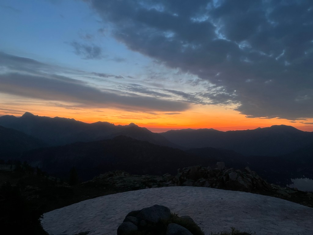
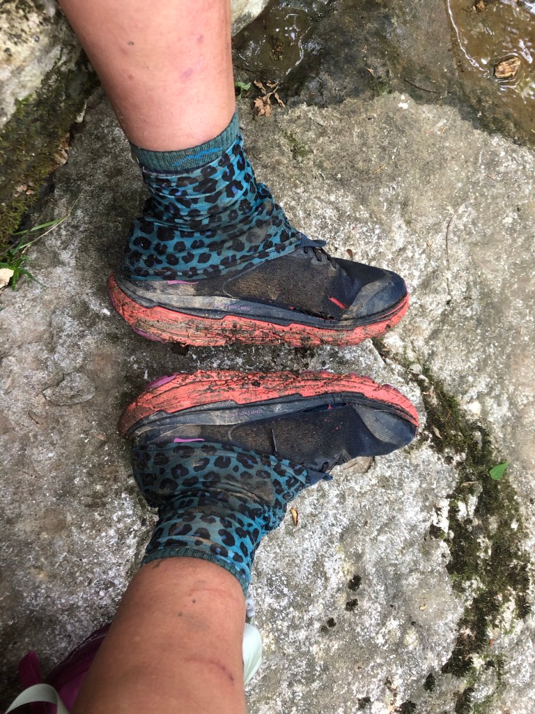
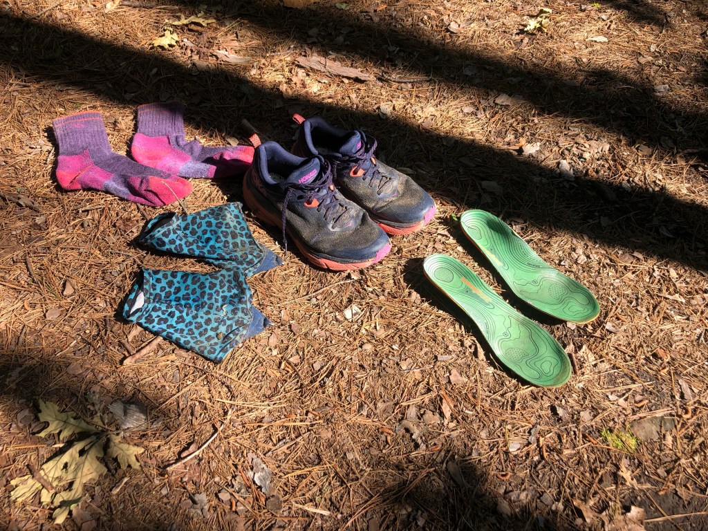
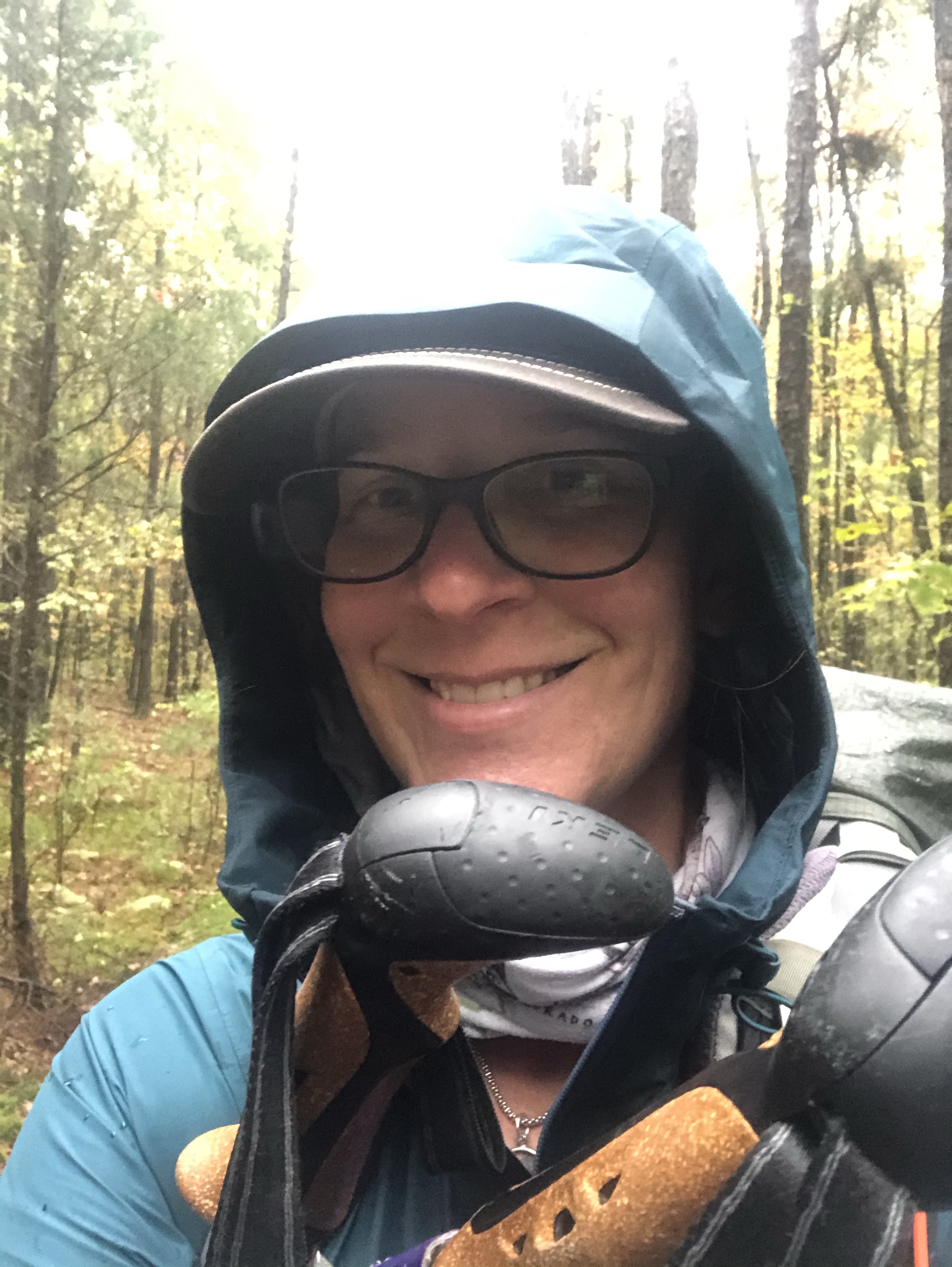
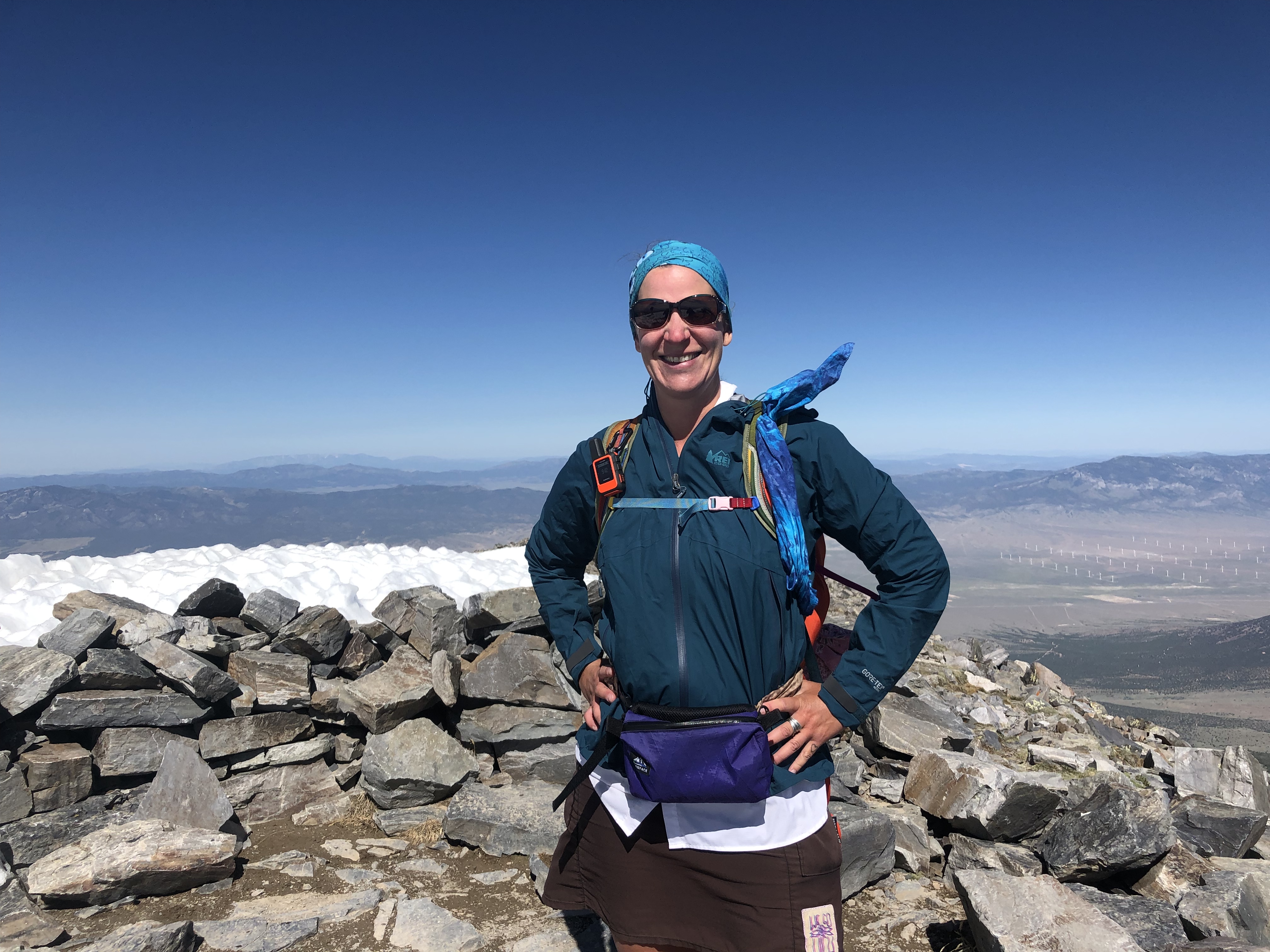
We got to Barafu Camp around 1:30 and had lunch. Then we rested until about 4:30, when Leo and Fredrick checked out our clothing that we planned to wear for the summit climb. I did not nap, but rested in my tent reading and periodically getting out to absorb the view from my tent. Fredrick approved of my gear, and I was stoked to wear my down pants for the climb. I ended up being really warm all the way up and not even my toes got cold.
We had dinner around 6 or so and the plan was to try to sleep until 10:30pm, when Victor would wake us up for a light breakfast and tea. I maybe dozed off for a half hour, but I was really too excited to actually sleep.
December 23pm – 24th Barafu Camp to Mweka Camp
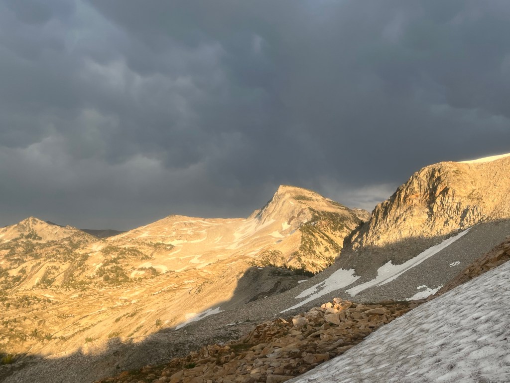
This was a long day. We started our ascent around 11:30 and took it slow, slow. Pole pole. It was clear, and I watched the distant lights in the valley get smaller and smaller. My focus was on my feet, placing one foot in front of the other, and breathing. Breathing deep, breathing out deeply. Again and again. The next thing I know we are taking a break and we have been hiking for three hours. We have covered 1.5 miles. Half way there! The next stretch seems to get steeper, or maybe it’s the altitude. Soon, we don’t need our headlamps anymore and I can see Stella Point up ahead. I know I need to eat but my appetite is gone. I drink water. I eat half a protein bar that tastes like cardboard and is half frozen.


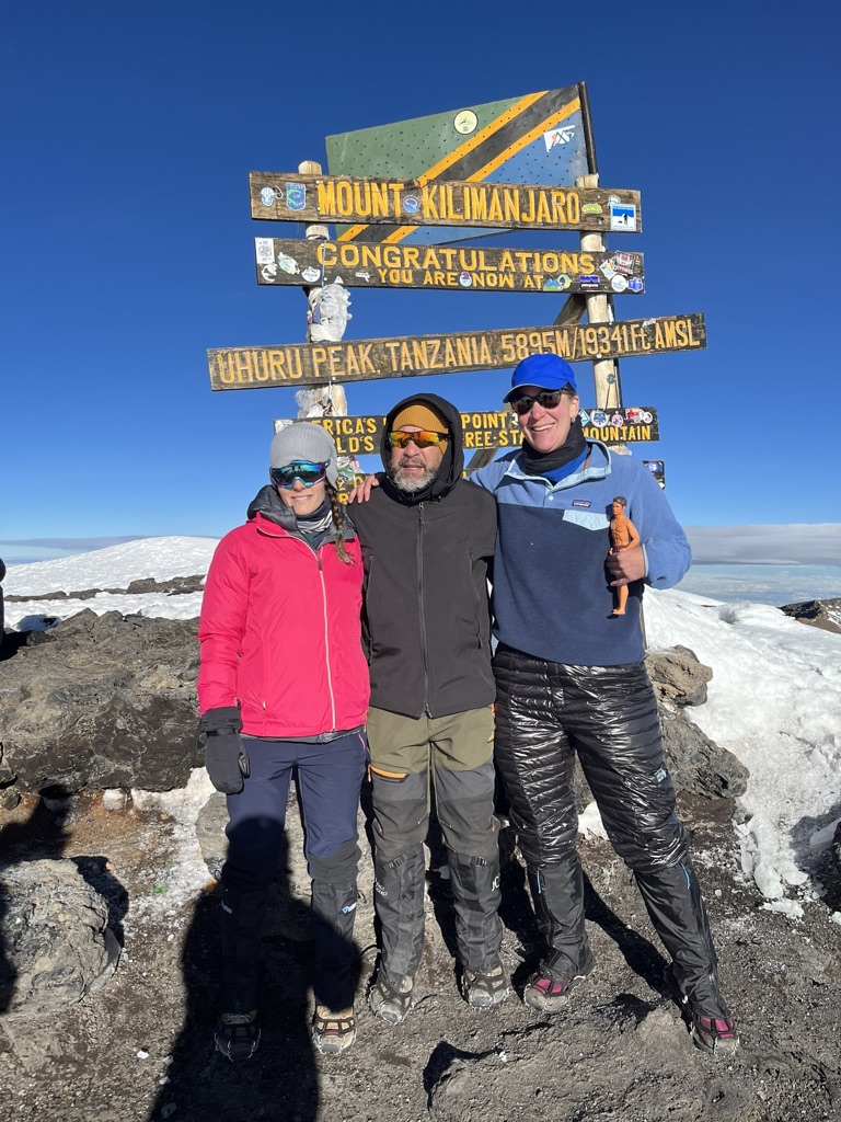
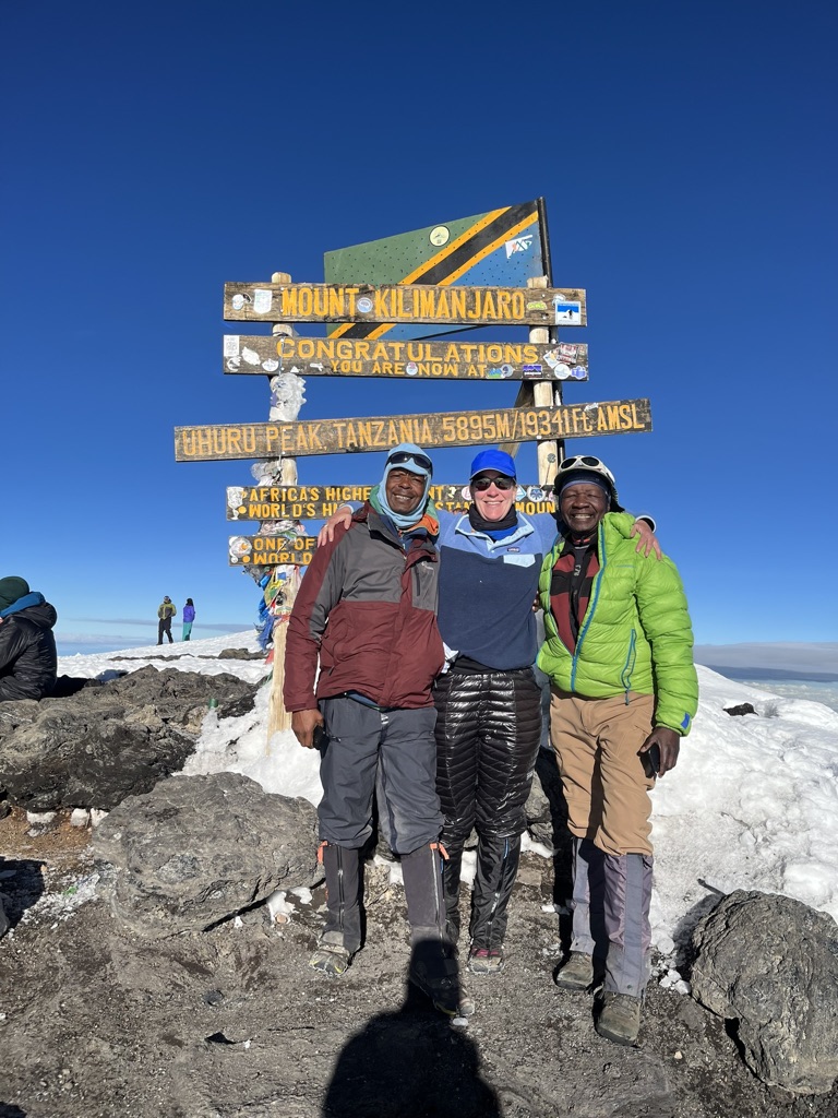
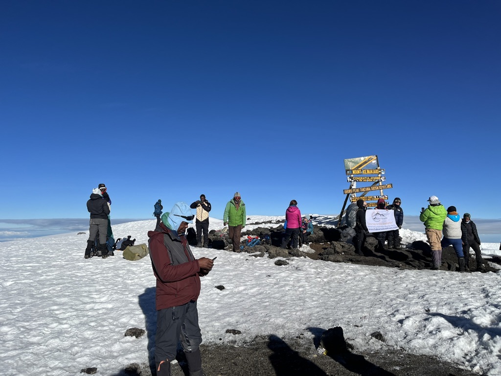
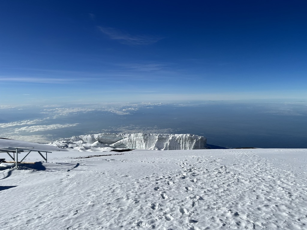
We get to Stella Point and we are all worked at this point. But it’s exciting! It’s snowing! And it’s Christmas Eve! I try to eat more of the frozen protein bar. Leo helps me put my microspikes on. And we get moving. We only have about 45 minutes to the summit, Uhuru Peak. Now we can see down into the crater. The sky clears. Everything is shining bright. People coming down tell us congrats, and we say it back. Or maybe I just think it and keep moving. All I know is that the sign is there, in front of me, that iconic sign. You are at the top of Africa. Uhuru Peak. We made it.


And of course, any ascent is only half completed at the summit. Our descent route would take us straight down, not the same way we came up. Once we got back down to Stella Point, we took a quick break, removed our microspikes, and headed down the scree covered path. I think we all fell down at some point; and as soon as we were about a mile from camp we saw Pascal, Happy, Venance, and Ibrahim coming to help us with our day packs. I was so glad to see them. Even though my pack did not weigh very much, it was nice to see their friendly faces. Happy took it upon himself to help me, holding my arm and guiding me over the rocky parts. He was very kind.
We rolled into Barafu Camp around noon and Victor had tea ready for us, with some popcorn? Or was it cashews? Not sure I remember. All I know is that I was worked, and I was looking forward to a quick rest. I laid down in my tent with my boots sticking out. I took them off, and removed the rest of my clothing; I was so hot now that the high altitude sun was out. I changed into clothes from the bottom of my duffle that were still cold from last night. It felt so good to put them on. I sat in a chair in the sun and waited for lunch. It felt so glorious just to sit and do nothing.
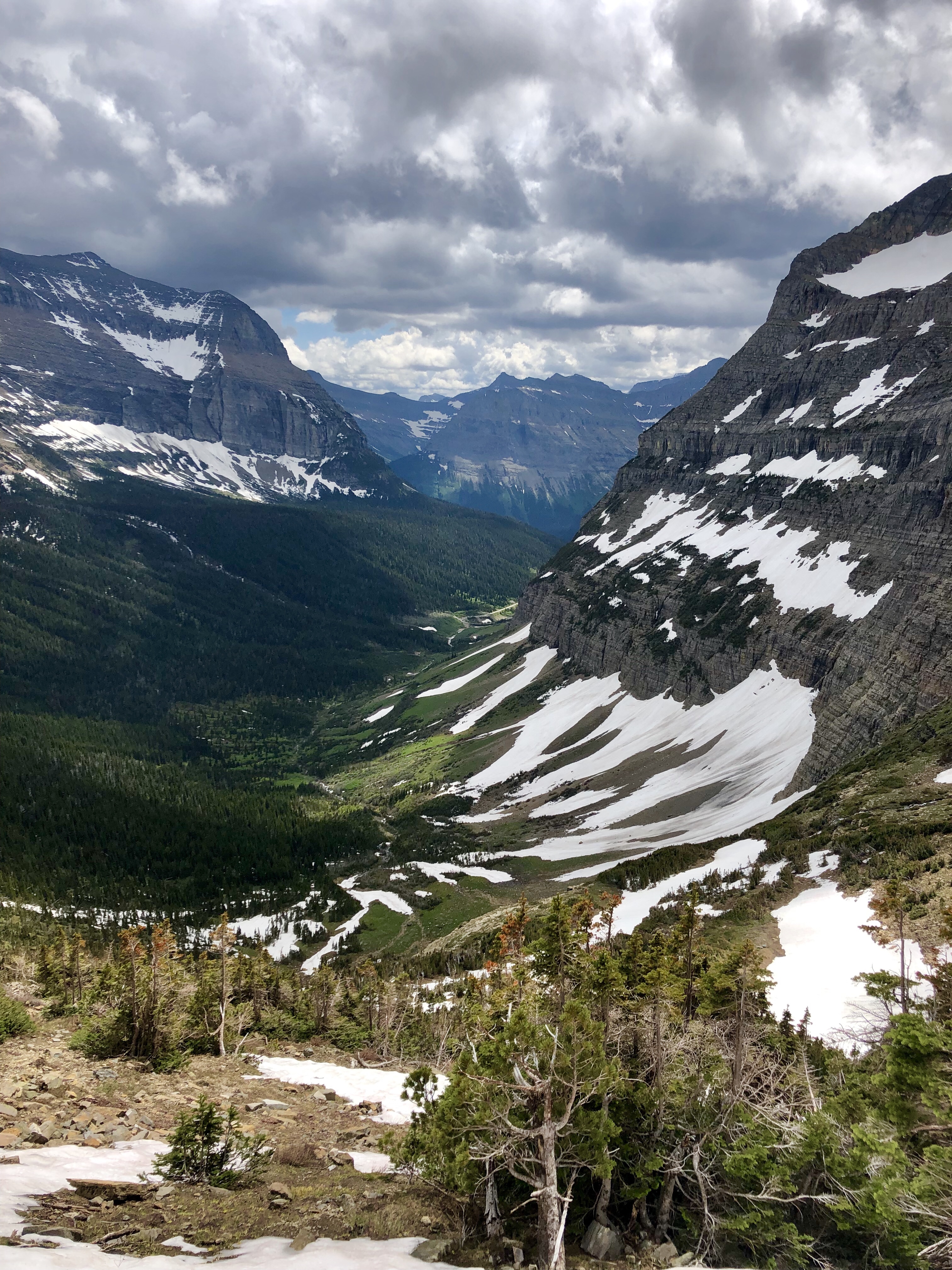
After lunch we packed up our stuff and began our descent down to Mweka Camp, four miles and 4,000 feet below us. It was a brutal hike. It started off fine; downhill but manageable. Then, after a bit, the trail got very steep and rocky. The light rain didn’t help matters. We slowed our pace, and I swear that was the longest 3.5 km of my life. We walked into Mweka Camp and we were so happy to be there. We were down in the jungle again, for our last night on the mountain. We had an excellent meal, and we all crashed into our tents and were asleep within 5 minutes.
What a day.
December 25: Mweka Camp to Mweka Gate and Moshi
Everyone was in a good mood this morning. We had breakfast pretty early and shortly after 7am we were ready to hit the trail. Everyone was saying, “Merry Christmas!” and the mood around camp was festive. Christmas is a big deal in Tanzania and our crew was looking forward to getting home to their families. I was looking forward to a hot shower and clean clothes; a true Christmas miracle!
About 4 hours later after another long descent (significantly less brutal than yesterday but tough nonetheless) we got to the gate. Fredrick got our completion certificates and we drove to a little village to have our celebratory meal. At that point too we passed our our tips to our wonderful crew and I could hardly say a word because I of course started crying. And there were cats!


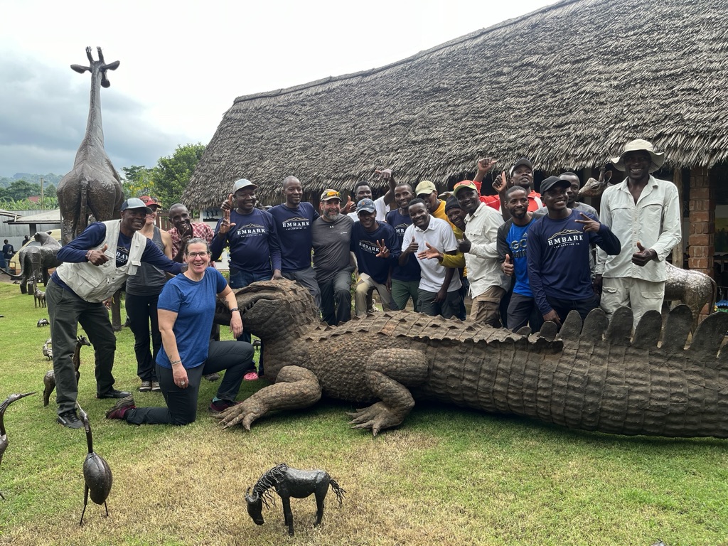

After a great meal and some shopping, we headed back to Moshi and our hotel. The town was in the midst of a big Christmas celebration, and outside our hotel was a block party that went on well into the night. Good thing I had ear plugs. Slept like a rock.
The second part (safari) still to come!!!